Collin Moss

Downs, Moorland in Dumfriesshire

Scotland

Collin Moss

Entrance to Craigs Moss The entrance to Craigs Moss an area of native woodlan on the outskirts of Dumfries managed by Scottish Woodlands Ltd.
Entrance to Craigs Moss Credit: Colin Kinnear

Collin Moss, Dumfriesshire, is a captivating natural area located in the southern region of Scotland. Situated in the heart of Dumfries and Galloway, it is a hidden gem that attracts nature enthusiasts and hikers from all around the world.

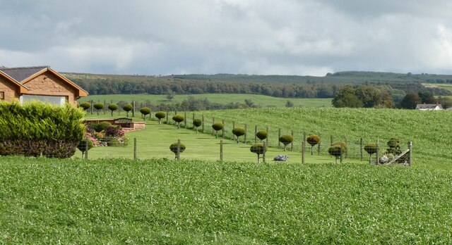
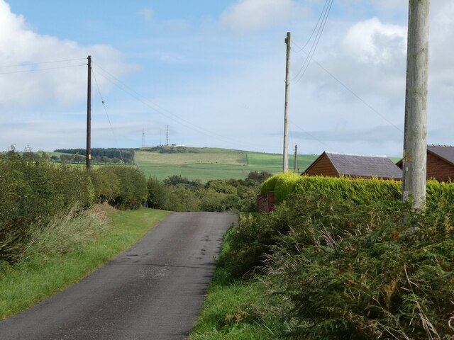
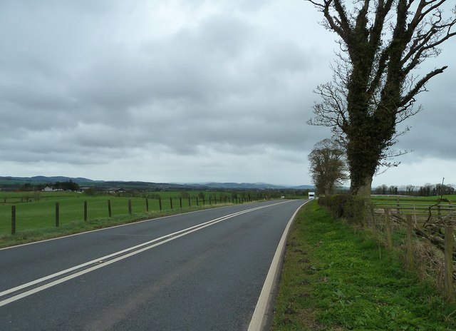
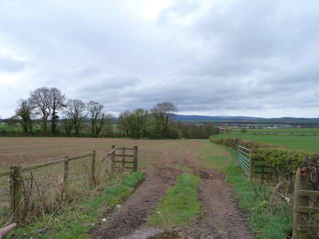
Covering an expansive area, Collin Moss is characterized by its diverse landscapes, encompassing both downs and moorland. The downs present rolling hills and gentle slopes, adorned with lush greenery and scattered with wildflowers during the warmer months. The moorland, on the other hand, offers a more rugged terrain, with vast stretches of heather-covered hills and peat bogs.

This picturesque landscape is home to a rich variety of flora and fauna. The downs are adorned with native grasses, while the moorland is a haven for heather, mosses, and lichens. Birdwatchers will be delighted by the presence of various species, such as curlews, lapwings, and red grouse. The area is also frequented by grazing sheep, adding to the bucolic charm of the surroundings.

For those seeking outdoor activities, Collin Moss provides ample opportunities for exploration. Numerous walking trails crisscross the area, allowing visitors to immerse themselves in the tranquility of nature. The slopes of the downs offer gentle climbs, making it suitable for hikers of all abilities. Meanwhile, the moorland presents a more challenging terrain, perfect for those seeking a more adventurous experience.

Collin Moss, Dumfriesshire, is a captivating destination that showcases the natural beauty of Scotland. With its diverse landscapes, abundant wildlife, and numerous walking trails, it is a must-visit for nature lovers and outdoor enthusiasts alike.

If you have any feedback on the listing, please let us know in the comments section below.
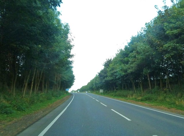
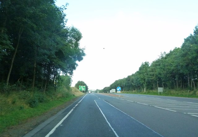
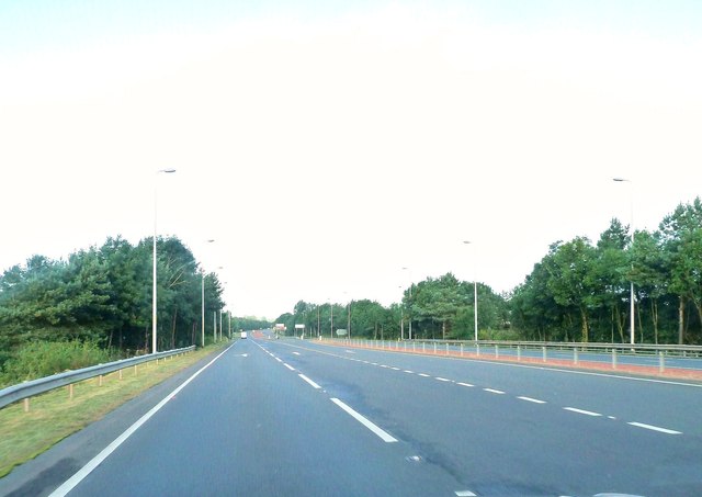
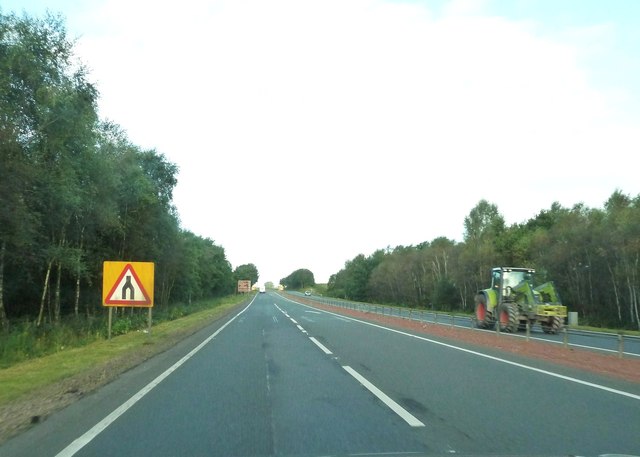
Collin Moss Images

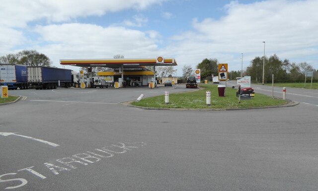
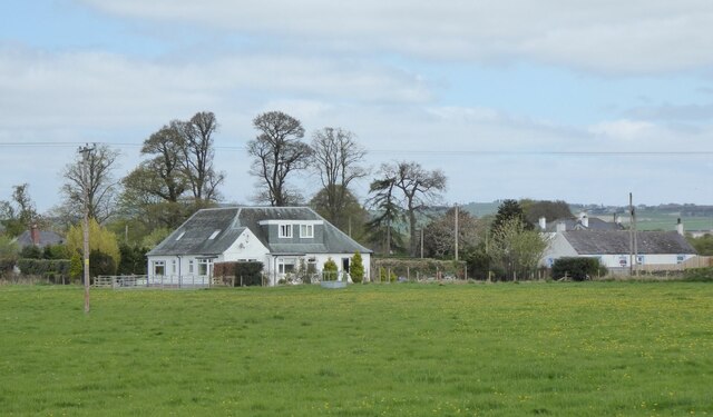
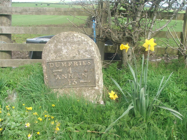
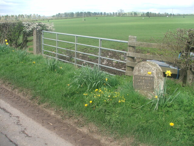
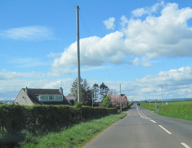
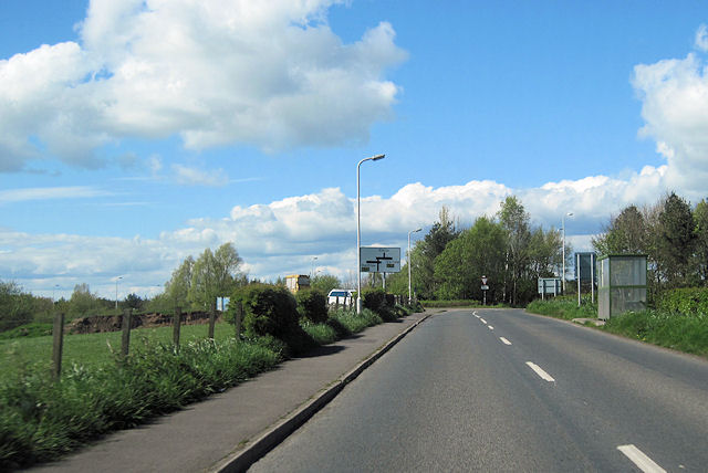
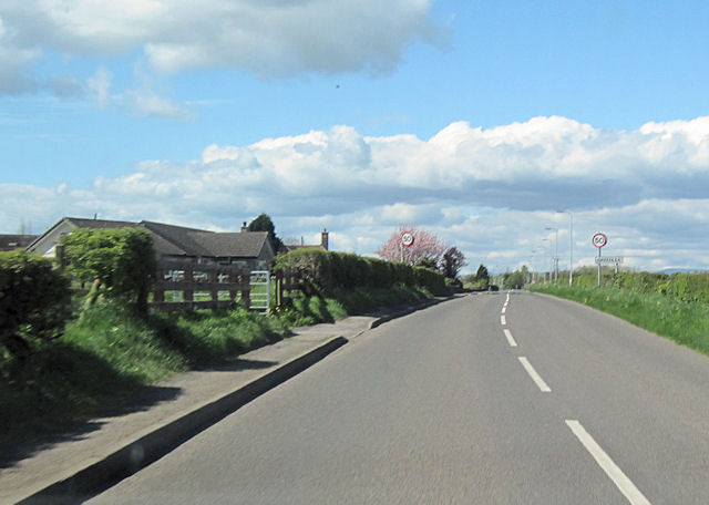
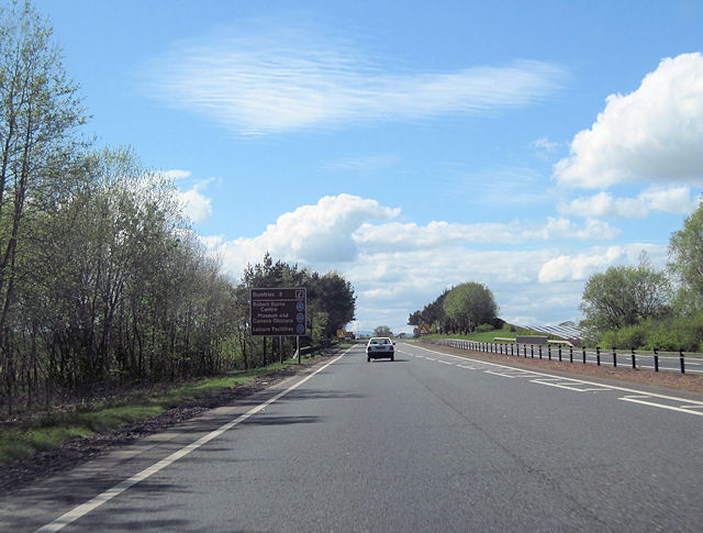
Images are sourced within 2km of 55.065567/-3.5263824 or Grid Reference NY0275. Thanks to Geograph Open Source API. All images are credited.

Entrance to Craigs Moss The entrance to Craigs Moss an area of native woodlan on the outskirts of Dumfries managed by Scottish Woodlands Ltd.
Entrance to Craigs Moss
The entrance to Craigs Moss an area of native woodlan on the outskirts of Dumfries managed by Scottish Woodlands Ltd.
Filling station on approach to Dumfries With adjacent Starbucks!
Filling station on approach to Dumfries
With adjacent Starbucks!
Houses north of the A75 On the outskirts of Dumfries.
Houses north of the A75
On the outskirts of Dumfries.
Old milestone Another milestone, once well painted, on the tourist route from Dumfries to Gretna.   This is the last/first one on the B724 before its junction with the A75 near Collin.   Once painted, now mud splattered, this stone is at the southern end of Greenlea.
The plates that are/were on the four stones nearest Dumfries have DUMFRIES at the top of the plate with ANNAN below.   The arrows are also smaller than  on the milestones between Annan 1 and Annan 9.
Old milestone
Another milestone, once well painted, on the tourist route from Dumfries to Gretna. This is the last/first one on the B724 before its junction with the A75 near Collin. Once painted, now mud splattered, this stone is at the southern end of Greenlea. The plates that are/were on the four stones nearest Dumfries have DUMFRIES at the top of the plate with ANNAN below. The arrows are also smaller than on the milestones between Annan 1 and Annan 9.
Old milestone This milestone is easily found between the metal field gate and a lamppost at the southern end of Greenlea.
Old milestone
This milestone is easily found between the metal field gate and a lamppost at the southern end of Greenlea.
Automatic lawn mower in operation At Broomhill near Elizafield.
Automatic lawn mower in operation
At Broomhill near Elizafield.
Minor road at Elizafield With communication masts on Hazelshaw Hill in the distance.
Minor road at Elizafield
With communication masts on Hazelshaw Hill in the distance.
Woodside Looking along the A75 towards Dumfries.
Woodside
Looking along the A75 towards Dumfries.
View to the Criffel Taken from the A75 by Woodside.
View to the Criffel
Taken from the A75 by Woodside.
B724 into Elizafield At Racks Road crossroads
B724 into Elizafield
At Racks Road crossroads
B724 approaching A75 junction at Collin
B724 passing Greenlea Greenlea on the left. Looking towards Collin
B724 passing Greenlea
Greenlea on the left. Looking towards Collin
End of A75 dual carriageway at Collin Looking towards Dumfries
End of A75 dual carriageway at Collin
Looking towards Dumfries
A75 approaching Dumfries from the east Taken from close to Douievale. The first roundabout signs can be seen in the distance
A75 approaching Dumfries from the east
Taken from close to Douievale. The first roundabout signs can be seen in the distance
Approaching the start of a dual carriageway
The start of a dual carriageway It's not a mark on the camera - - it's a kestrel hovering over the road.
The start of a dual carriageway
It's not a mark on the camera - - it's a kestrel hovering over the road.
Approaching the B724 on the A75 dual carriageway
Approaching the end of the dual carriageway
Show me another place!

Collin Moss is located at Grid Ref: NY0275 (Lat: 55.065567, Lng: -3.5263824)

Unitary Authority: Dumfries and Galloway

Police Authority: Dumfries and Galloway

What 3 Words

///create.danger.quarrel. Near Dumfries, Dumfries & Galloway

Related Wikis

Collin, Dumfries and Galloway

Collin is a small village between Dumfries and Gretna in Dumfries and Galloway, Scotland. It is located on the Lochar Water, and the A75 road. It lies...

Racks railway station

Racks railway station was a railway station in Dumfries and Galloway, Scotland, south of Dumfries, OS NGR NY 033 743, serving and effectively creating...

Torthorwald

Torthorwald is a village and civil parish in Dumfries and Galloway, south-west Scotland. It is located 6 kilometres (3.7 mi) east of Dumfries on the A709...

Loaningfoot

Loaningfoot is a hamlet in the parish of Kirkbean in Dumfries and Galloway, Scotland. It is 10 miles ESE of the town of Dalbeattie. == References ==

Nearby Amenities

Located within 500m of 55.065567,-3.5263824
Bus Stop
Bypass
Naptan AtcoCode: 680000158333
Naptan Bearing: W
Naptan CommonName: Bypass
Naptan Indicator: West
Naptan Landmark: B724
Naptan NaptanCode: 34237626
Naptan Notes: none
Naptan Street: A75
Naptan Verified: no
Source: naptan_import
Lat/Long: 55.0665702/-3.5243484
Bus Stop
Bypass
Naptan AtcoCode: 680000158444
Naptan Bearing: E
Naptan CommonName: Bypass
Naptan Indicator: East
Naptan Landmark: B724
Naptan NaptanCode: 34238638
Naptan Notes: none
Naptan Street: A75
Naptan Verified: no
Source: naptan_import
Lat/Long: 55.066994/-3.5249597
Bus Stop
Village
Naptan AtcoCode: 680000169501
Naptan Bearing: NE
Naptan CommonName: Village
Naptan Indicator: Squires
Naptan Landmark: Roucan Road
Naptan NaptanCode: 34234565
Naptan Notes: none
Naptan Street: Old Dumfries Road
Naptan Verified: no
Source: naptan_import
Lat/Long: 55.0685087/-3.5260039
Bus Stop
Village
Naptan AtcoCode: 680000169502
Naptan Bearing: NW
Naptan CommonName: Village
Naptan Indicator: Main Road
Naptan Landmark: Low Road
Naptan NaptanCode: 34238639
Naptan Notes: none
Naptan Street: Main Road
Naptan Verified: no
Source: naptan_import
Lat/Long: 55.0681431/-3.5221844
Bus Stop
Village
Naptan AtcoCode: 680000169503
Naptan Bearing: SE
Naptan CommonName: Village
Naptan Indicator: Main Road
Naptan Landmark: Low Road
Naptan NaptanCode: 34234568
Naptan Notes: none
Naptan Street: Main Road
Naptan Verified: no
Source: naptan_import
Lat/Long: 55.0681129/-3.521729
Collin
Place: village
Wikidata: Q15813254
Wikipedia: en:Collin, Dumfries and Galloway
Lat/Long: 55.0690144/-3.5234303
Design: barrel
Power: tower
Lat/Long: 55.0631378/-3.5288459
Tourism: caravan_site
Lat/Long: 55.0696011/-3.5259436
Design: barrel
Power: tower
Lat/Long: 55.0615122/-3.5257611
Post Office
Collin Post Office
Addr City: Dumfries
Addr Country: GB
Addr Housename: Collin Village Hall
Addr Postcode: DG1 4JF
Addr Street: Low Road
Addr Village: Collin
Brand: Post Office
Brand Wikidata: Q1783168
Check Date: 2022-05-27
Check Date Opening Hours: 2022-05-27
Opening Hours: Tu,Th 11:45-13:45
Ref Pol Id: 97655
Lat/Long: 55.0670955/-3.5226825
Power: pole
Lat/Long: 55.063487/-3.5328044
Power: pole
Lat/Long: 55.0636301/-3.531452
Power: pole
Lat/Long: 55.0637481/-3.5301692
Power: pole
Lat/Long: 55.0638838/-3.5288219
Power: pole
Lat/Long: 55.063987/-3.5277375
Power: pole
Lat/Long: 55.0641139/-3.5265165
Power: pole
Lat/Long: 55.0642304/-3.5253032
Power: pole
Lat/Long: 55.0641301/-3.5239096
Power: pole
Lat/Long: 55.0640313/-3.5225959
Power: pole
Lat/Long: 55.0639369/-3.5212254
Power: pole
Lat/Long: 55.0638277/-3.5198962
Power: pole
Lat/Long: 55.0692272/-3.5220858
Power: pole
Lat/Long: 55.0683658/-3.5215565
Power: pole
Lat/Long: 55.0697095/-3.5284806
Power: pole
Lat/Long: 55.0696918/-3.5269866
The data included in this document is from www.openstreetmap.org. The data is made available under ODbL.

Have you been to Collin Moss?

Leave your review of Collin Moss below (or comments, questions and feedback).