Cleaves Copse
Wood, Forest in Somerset Mendip
England
Cleaves Copse
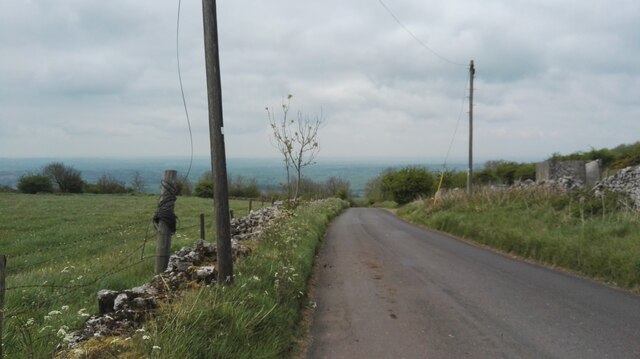
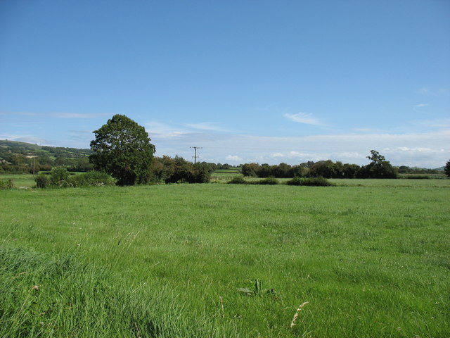
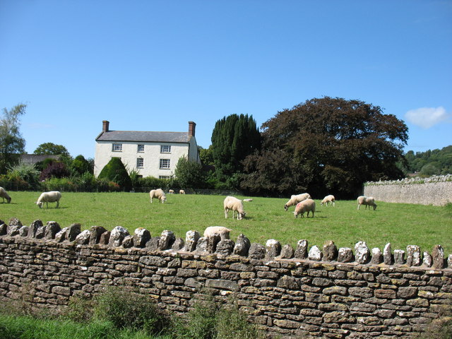
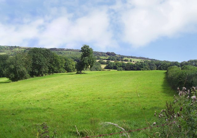
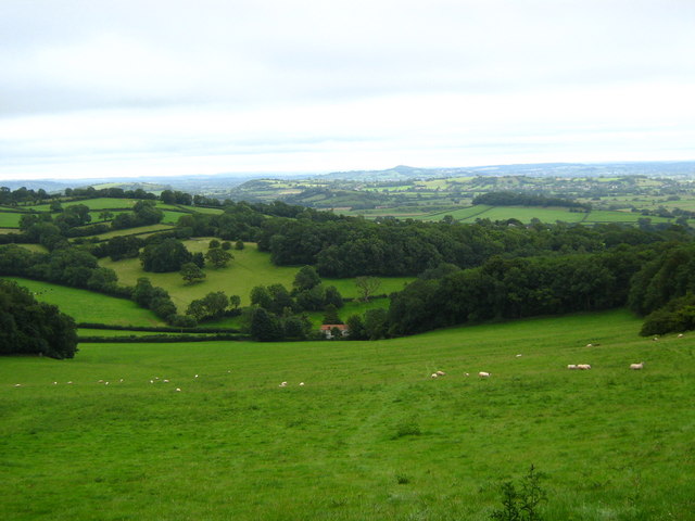
Cleaves Copse is a picturesque woodland located in the county of Somerset, England. Covering an area of approximately 50 acres, it is nestled on the outskirts of the small village of Cleaves, which gives the copse its name. The woodland is known for its ancient trees, diverse wildlife, and tranquil atmosphere.
The copse is primarily composed of deciduous trees, including oak, beech, and ash, which form a dense canopy overhead. The thick undergrowth consists of ferns, mosses, and various wildflowers, creating a vibrant and lush environment. The trees in Cleaves Copse are estimated to be several hundred years old, with some towering specimens reaching heights of over 100 feet.
The woodland is home to a wide range of wildlife, making it a popular spot for nature enthusiasts and birdwatchers. Visitors can often spot native species such as badgers, foxes, deer, and various bird species, including woodpeckers, owls, and thrushes. The copse provides a vital habitat for these creatures, offering shelter, food, and protection.
Cleaves Copse is a designated Site of Special Scientific Interest (SSSI), recognized for its ecological importance and ancient woodland characteristics. It is managed by local conservation organizations, who work tirelessly to preserve its natural beauty and protect the delicate balance of its ecosystem.
The copse offers several walking trails and footpaths, allowing visitors to explore its enchanting scenery and immerse themselves in nature. The peaceful surroundings and abundance of wildlife make Cleaves Copse a cherished destination for those seeking solace and a connection with the natural world.
If you have any feedback on the listing, please let us know in the comments section below.
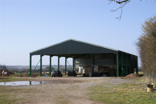
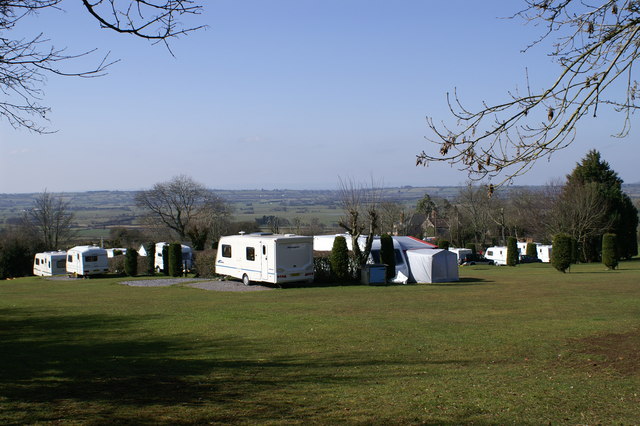
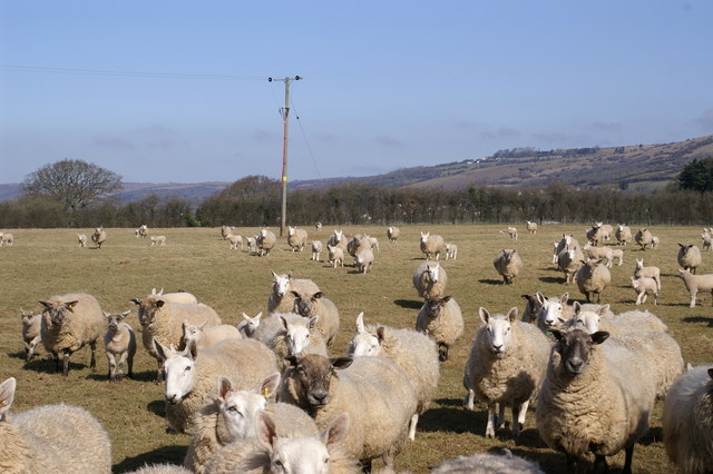
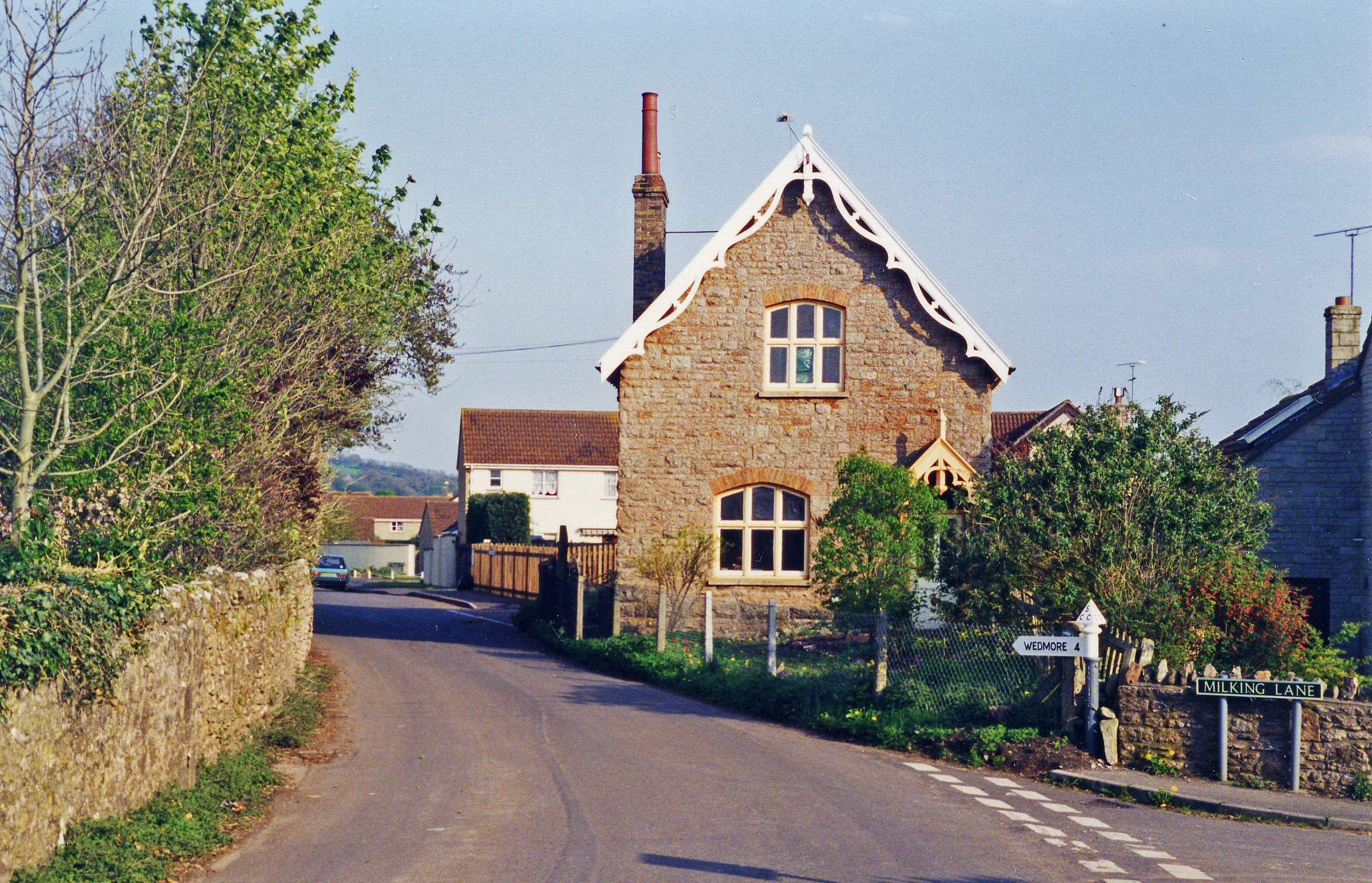
Cleaves Copse Images
Images are sourced within 2km of 51.247709/-2.7317445 or Grid Reference ST4950. Thanks to Geograph Open Source API. All images are credited.


Cleaves Copse is located at Grid Ref: ST4950 (Lat: 51.247709, Lng: -2.7317445)
Administrative County: Somerset
District: Mendip
Police Authority: Avon and Somerset
What 3 Words
///observer.special.modem. Near Draycott, Somerset
Nearby Locations
Related Wikis

Rodney Stoke
Rodney Stoke is a small village and civil parish, located at grid reference ST486501, 5 miles north-west of Wells, in the English county of Somerset. The...
Rodney Stoke SSSI
Rodney Stoke (grid reference ST492507) is a 69.6 hectare (172.0 acre) biological Site of Special Scientific Interest, just north of the village of Rodney...

Westbury Camp
Westbury Camp is a univallate Iron Age hill fort in the Mendip Hills in Somerset, England. The hill fort is situated in the parish of Rodney Stoke, approximately...

Draycott, Somerset
Draycott is a village in Somerset, England, neighbouring the village of Cheddar on the southern edge of the Mendip Hills Area of Outstanding Natural Beauty...

Church of St Lawrence, Westbury-sub-Mendip
The Church of St Lawrence in Westbury-sub-Mendip, Somerset, England was built in the 12th century. It is a Grade II* listed building. == History == The...
Draycott railway station
Draycott railway station was a station on the Bristol and Exeter Railway's Cheddar Valley line in Draycott, Somerset. The station was opened with the extension...

Westbury-sub-Mendip
Westbury-sub-Mendip is a village and civil parish in Somerset, England. The village is on the southern slopes of the Mendip Hills, 4 miles (6.4 km) from...

Draycott Sleights
Draycott Sleights (grid reference ST483518) is a 61.95 hectares (153.1 acres) biological Site of Special Scientific Interest at Draycott in the Mendip...
Nearby Amenities
Located within 500m of 51.247709,-2.7317445Have you been to Cleaves Copse?
Leave your review of Cleaves Copse below (or comments, questions and feedback).