Barrowfield Wood
Wood, Forest in Westmorland South Lakeland
England
Barrowfield Wood
Barrowfield Wood is a picturesque forest located in the county of Westmorland, England. With its serene and tranquil atmosphere, it is a popular destination for nature enthusiasts and those seeking a peaceful retreat.
Covering an area of approximately 100 acres, Barrowfield Wood is home to a diverse range of flora and fauna. The forest is predominantly composed of native deciduous trees such as oak, beech, and birch, creating a rich and vibrant landscape throughout the changing seasons. The woodland floor is adorned with a carpet of bluebells in spring, creating a breathtaking sight for visitors.
The forest boasts a network of well-maintained footpaths, allowing visitors to explore its beauty at their own pace. These paths wind through the forest, offering glimpses of charming wildlife such as squirrels, rabbits, and various bird species. For nature photographers, the woodland's peaceful ambiance provides ample opportunities to capture stunning shots of the local fauna and flora.
Barrowfield Wood also holds historical significance, with remnants of ancient settlements and stone walls scattered throughout. These remnants provide a fascinating glimpse into the area's rich past and offer an intriguing backdrop for history enthusiasts.
Accessible by car or public transport, Barrowfield Wood offers ample parking facilities and picnic areas, making it an ideal destination for a day out with family and friends. Whether it's a leisurely stroll, a picnic, or a wildlife photography expedition, Barrowfield Wood promises visitors a memorable experience immersed in the beauty of nature.
If you have any feedback on the listing, please let us know in the comments section below.
Barrowfield Wood Images
Images are sourced within 2km of 54.32105/-2.7946262 or Grid Reference SD4892. Thanks to Geograph Open Source API. All images are credited.


Barrowfield Wood is located at Grid Ref: SD4892 (Lat: 54.32105, Lng: -2.7946262)
Administrative County: Cumbria
District: South Lakeland
Police Authority: Cumbria
What 3 Words
///invested.logo.showrooms. Near Kendal, Cumbria
Nearby Locations
Related Wikis

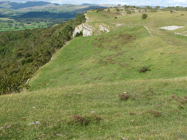
Cunswick Scar
Cunswick Scar is a limestone scar (cliff or steep rock face) in the Lake District, England. There are extensive views from the large cairn at the top...
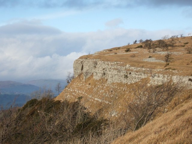
Scout Scar
Scout Scar, also called Underbarrow Scar, is a hill in the English Lake District, west of Kendal, Cumbria and above the village of Underbarrow. It reaches...

Underbarrow
Underbarrow is a small village in Cumbria, England, located 3 miles (4.8 km) west of Kendal. The village is in the Lake District National Park. It is in...

Helsfell Hall
Helsfell Hall was a country house near Kentrigg in Cumbria. That part of the building which survives, and is now used as a barn, is a Grade II listed building...

Helsington
Helsington is a civil parish in the South Lakeland district of the English county of Cumbria. It includes the village of Brigsteer and Sizergh Castle...
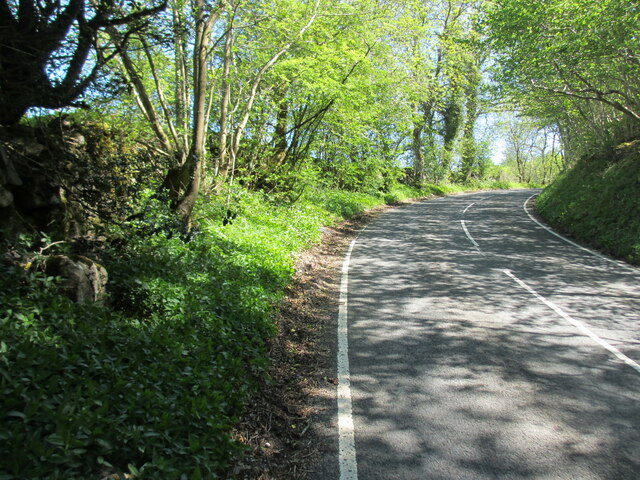
Brigsteer
Brigsteer is a village in Cumbria, England. On 1 August 2016 it was included in the Lake District National Park. == Politics == In 1974, under the Local...

Castle Howe
Castle Howe is a motte and bailey castle in the town of Kendal, England. == History == Castle Howe was built after the Norman conquest of England, either...

Smooth Lake District
Smooth Lake District is an Independent Local Radio station for the Lakes, owned and operated by Global and part of the Smooth network. == Overview == Originally...
Nearby Amenities
Located within 500m of 54.32105,-2.7946262Have you been to Barrowfield Wood?
Leave your review of Barrowfield Wood below (or comments, questions and feedback).