Collafield

Settlement in Gloucestershire Forest of Dean

England

Collafield

Newtown Road, Steam Mills Post-industrial landscape.
Newtown Road, Steam Mills Credit: Jonathan Billinger

Collafield is a small village located in the county of Gloucestershire, England. Situated in the beautiful Cotswolds region, it is surrounded by picturesque countryside and rolling hills, making it a popular destination for nature enthusiasts and those seeking a peaceful retreat.

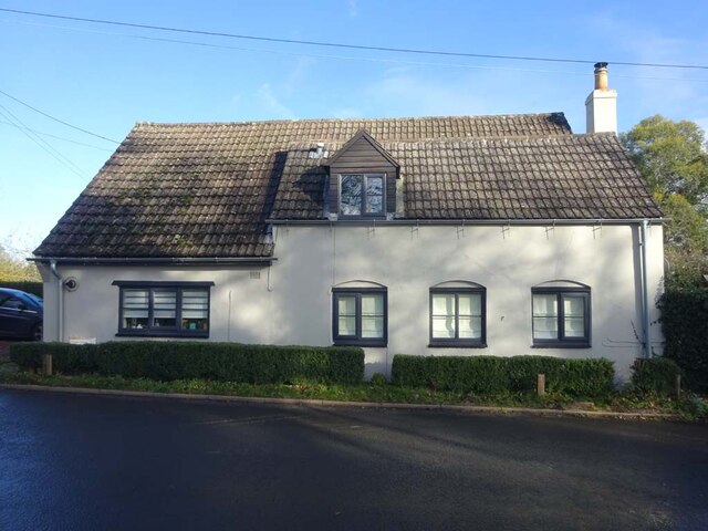
With a population of around 500 residents, Collafield maintains a tight-knit community atmosphere. The village is characterized by charming stone cottages and traditional architecture, giving it a quintessentially English feel. Its history can be traced back to the medieval period, and remnants of this past can still be seen in some of the older buildings.

Collafield benefits from a range of amenities that cater to its residents' needs. The village has a local pub, The Black Horse, which serves as a gathering place for locals and visitors alike. Additionally, there is a primary school, a post office, and a small convenience store, providing essential services for the community.

For outdoor enthusiasts, Collafield offers an abundance of opportunities to explore the surrounding countryside. The area is crisscrossed with footpaths and bridleways, allowing residents to enjoy scenic walks and bike rides. The nearby Collafield Woods is a popular spot for nature lovers, with its diverse wildlife and tranquil atmosphere.

While Collafield may be a small village, its idyllic setting, strong sense of community, and access to natural beauty make it a desirable place to live or visit.

If you have any feedback on the listing, please let us know in the comments section below.
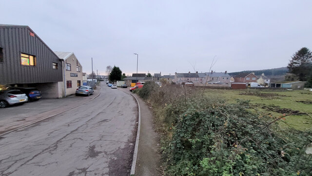
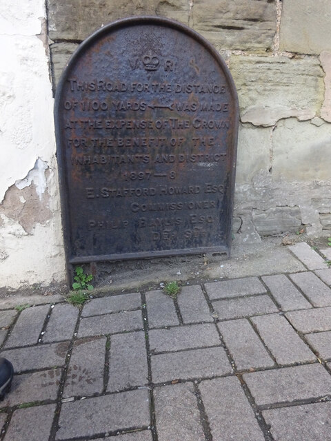
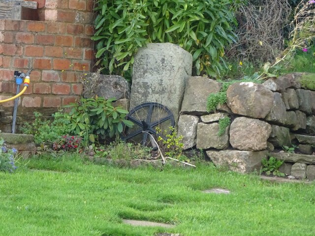
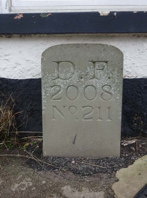
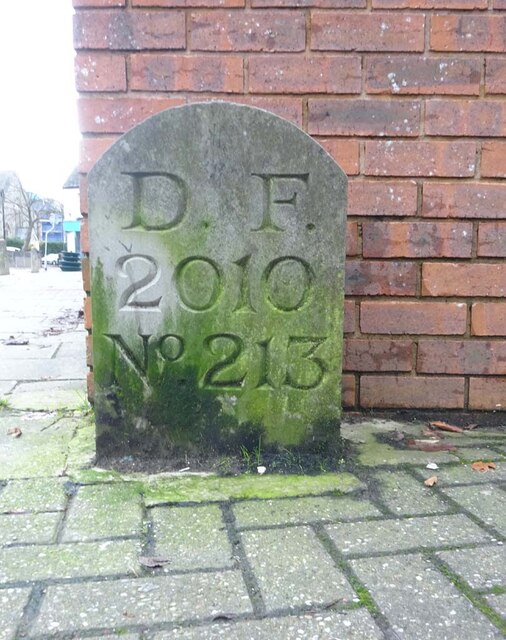
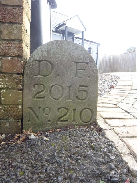
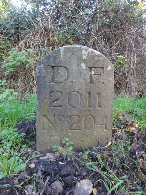
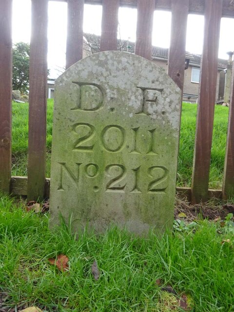
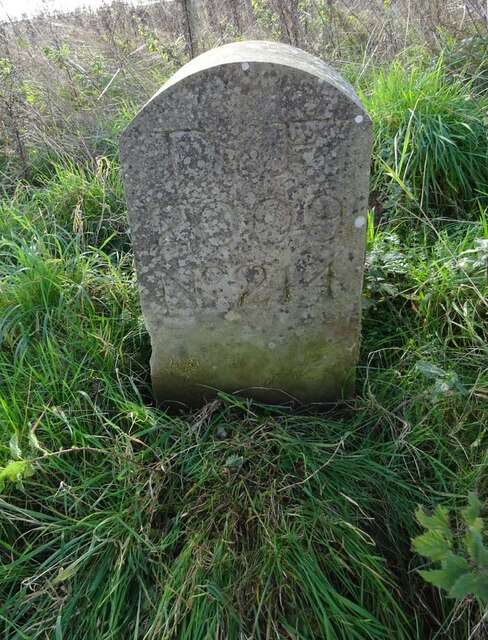
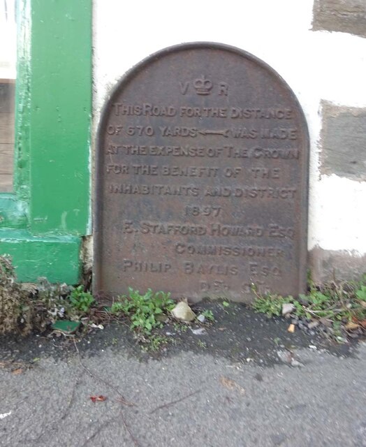
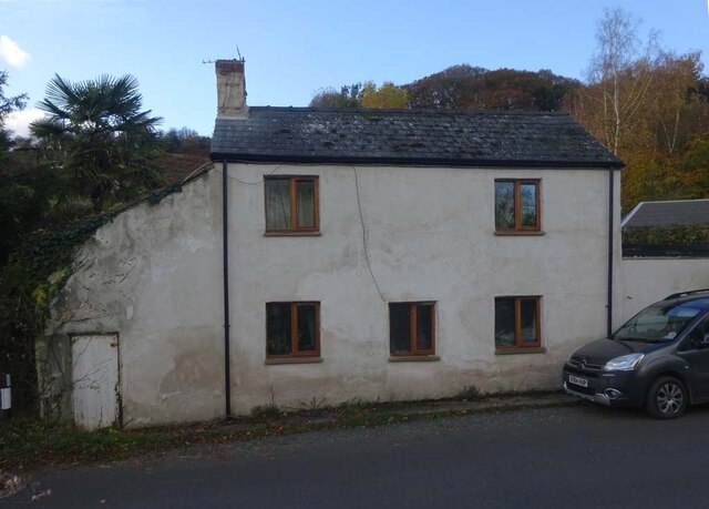
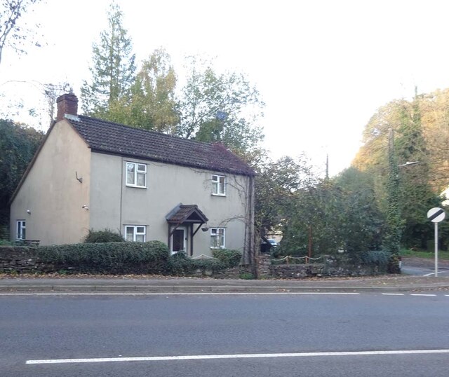
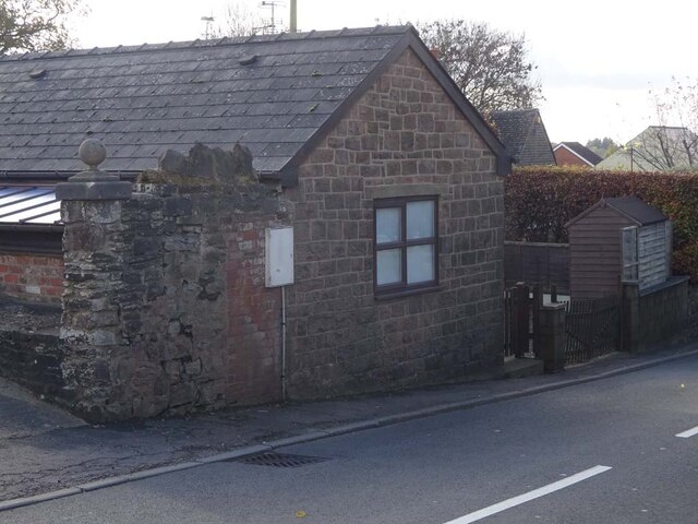
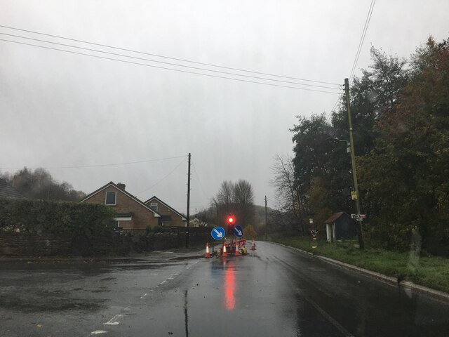
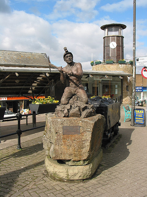
Collafield Images

Images are sourced within 2km of 51.823579/-2.4947158 or Grid Reference SO6614. Thanks to Geograph Open Source API. All images are credited.

Newtown Road, Steam Mills Post-industrial landscape.
Newtown Road, Steam Mills
Post-industrial landscape.
Commemorative Plate, Cinderford On the wall of a house where Market and Victoria Streets concatenate.

Grade II Listed, details <span class="nowrap"><a title="https://historicengland.org.uk/listing/the-list/list-entry/1186466" rel="nofollow ugc noopener" href="https://historicengland.org.uk/listing/the-list/list-entry/1186466">Link</a><img style="margin-left:2px;" alt="External link" title="External link - shift click to open in new window" src="https://s1.geograph.org.uk/img/external.png" width="10" height="10"/></span>.

Inscription:
V (crown) R
This road for the distance
of 1100 ↢ yards was made
at the expense of the crown
for the benefit of the
inhabitants and district
1897 - 8
E.Stafford Howard Esq
Commissioner
Philip Baylis Esq
Dep Surveyor

Milestone Society National ID: GL_CIND05cm
Commemorative Plate, Cinderford
On the wall of a house where Market and Victoria Streets concatenate. Grade II Listed, details LinkExternal link. Inscription: V (crown) R This road for the distance of 1100 ↢ yards was made at the expense of the crown for the benefit of the inhabitants and district 1897 - 8 E.Stafford Howard Esq Commissioner Philip Baylis Esq Dep Surveyor Milestone Society National ID: GL_CIND05cm
Old Boundary Stone, Littledean Hill In the private garden of "Oak Ridge" in the Ruffitt. An original 1832 Forest of Dean boundary marker. 

Inscription: D.F / 1832 / Nᴼ. 209

Milestone Society National ID: GL_DFCINLIT209em
Old Boundary Stone, Littledean Hill
In the private garden of "Oak Ridge" in the Ruffitt. An original 1832 Forest of Dean boundary marker. Inscription: D.F / 1832 / Nᴼ. 209 Milestone Society National ID: GL_DFCINLIT209em
Boundary Stone, Cinderford On the corner of Littledean Hill Road, and the chamfered corner of the former Royal Forrester pub. Technically on private land but effectively just off the road.
The context view of the ex pub is <a href="https://www.geograph.org.uk/photo/4430088">SO6614 : Former Royal Forester, Cinderford</a>

Inscription: D.F / 2008 / Nᴼ. 211

Milestone Society National ID: GL_DFCINLIT211em
Boundary Stone, Cinderford
On the corner of Littledean Hill Road, and the chamfered corner of the former Royal Forrester pub. Technically on private land but effectively just off the road. The context view of the ex pub is SO6614 : Former Royal Forester, Cinderford Inscription: D.F / 2008 / Nᴼ. 211 Milestone Society National ID: GL_DFCINLIT211em
Boundary Stone, Cinderford In the High Street where the line of the row of shops kinks, near the pedestrian crossing.

Inscription: D.F / 2010 / Nᴼ. 213

Milestone Society National ID: GL_DFCIND213em
Boundary Stone, Cinderford
In the High Street where the line of the row of shops kinks, near the pedestrian crossing. Inscription: D.F / 2010 / Nᴼ. 213 Milestone Society National ID: GL_DFCIND213em
Boundary Stone, Littledean Hill On the Southern side of the road (the Ruffitt) in the driveway of "Stone Cottage".

Inscription: D.F / 2015 / Nᴼ. 210

Milestone Society National ID: GL_DFCINLIT210em
Boundary Stone, Littledean Hill
On the Southern side of the road (the Ruffitt) in the driveway of "Stone Cottage". Inscription: D.F / 2015 / Nᴼ. 210 Milestone Society National ID: GL_DFCINLIT210em
Boundary Stone, Denton's Corner In the junction of the A4151 Elton Road with the Slad and Greenway. In the parish of Littledean near Littledean Jail.

Inscription: D.F / 2011 / Nᴼ. 204

Milestone Society National ID: GL_DFLITT204em
Boundary Stone, Denton's Corner
In the junction of the A4151 Elton Road with the Slad and Greenway. In the parish of Littledean near Littledean Jail. Inscription: D.F / 2011 / Nᴼ. 204 Milestone Society National ID: GL_DFLITT204em
Boundary Stone, Cinderford On the corner of Edge Hills Road and Causeway Road. Just to confuse, the houses above are addressed as being in Wedgewood Crescent. Including 9 and 10, clearly in Edge Hills Road.

Inscription: D.F. / 2011 / Nᴼ. 212

Milestone Society National ID: GL_DFCIND212em
Boundary Stone, Cinderford
On the corner of Edge Hills Road and Causeway Road. Just to confuse, the houses above are addressed as being in Wedgewood Crescent. Including 9 and 10, clearly in Edge Hills Road. Inscription: D.F. / 2011 / Nᴼ. 212 Milestone Society National ID: GL_DFCIND212em
Boundary Stone, Cinderford Technically in the modern parish of Ruspidge and Soudley. Cinderford is the Northern side of the road.

Inscription: D.F / 2015 / Nᴼ. 214

Milestone Society National ID: GL_DFRUSU214em
Boundary Stone, Cinderford
Technically in the modern parish of Ruspidge and Soudley. Cinderford is the Northern side of the road. Inscription: D.F / 2015 / Nᴼ. 214 Milestone Society National ID: GL_DFRUSU214em
Commemorative Plate, Cinderford On the wall of an empty shop at the junction of High Street and Wesley Road. An older image showing the plaque when the shop was a greengocer's is <a href="https://www.geograph.org.uk/photo/728722">SO6514 : Traditional greengrocer, High Street, Cinderford</a>.
E.Stafford Howard was MP for Thornbury 1885/6. Served as Under-Secretary of State for India under William Ewart Gladstone. Later Senior Commissioner of HM's Woods and Forests.

Inscription:
V (crown) R
This road for the distance
of 670 ↢ yards was made
at the expense of the crown
for the benefit of the
inhabitants and district
1897 - 8
E.Stafford Howard Esq
Commissioner
Philip Baylis Esq
Dep Surveyor

Milestone Society National ID: GL_CIND06cm
Commemorative Plate, Cinderford
On the wall of an empty shop at the junction of High Street and Wesley Road. An older image showing the plaque when the shop was a greengocer's is SO6514 : Traditional greengrocer, High Street, Cinderford. E.Stafford Howard was MP for Thornbury 1885/6. Served as Under-Secretary of State for India under William Ewart Gladstone. Later Senior Commissioner of HM's Woods and Forests. Inscription: V (crown) R This road for the distance of 670 ↢ yards was made at the expense of the crown for the benefit of the inhabitants and district 1897 - 8 E.Stafford Howard Esq Commissioner Philip Baylis Esq Dep Surveyor Milestone Society National ID: GL_CIND06cm
Pike House, George Road, Littledean Former Toll House opposite Greenway. Used by the Forest of Dean Turnpike Trust in the 19th Century. See on the map of GB (UK) Toll houses <span class="nowrap"><a title="http://gbth.mister.red/#13/51.828/-2.47859" rel="nofollow ugc noopener" href="http://gbth.mister.red/#13/51.828/-2.47859">Link</a><img style="margin-left:2px;" alt="External link" title="External link - shift click to open in new window" src="https://s1.geograph.org.uk/img/external.png" width="10" height="10"/></span>

Milestone Society National ID: GL.LIT01
Pike House, George Road, Littledean
Former Toll House opposite Greenway. Used by the Forest of Dean Turnpike Trust in the 19th Century. See on the map of GB (UK) Toll houses LinkExternal link Milestone Society National ID: GL.LIT01
Denton's Corner, Littledean A4151 Former Toll House at Denton's Corner where Greenway and the Slad meet the A4151 Gloucester Road. This building served the Elton Turnpike Trust in the 19ᵗʰ Century.

Milestone Society National ID: GL.LIT03
Denton's Corner, Littledean A4151
Former Toll House at Denton's Corner where Greenway and the Slad meet the A4151 Gloucester Road. This building served the Elton Turnpike Trust in the 19ᵗʰ Century. Milestone Society National ID: GL.LIT03
Old Tollhouse, 26 St White's Road In the modern parish of Ruspidge and Soudley. Within the boundaries of the "Forest of Dean", and still showing a "TP" on the 1873 map. This building served the Forest of Dean Turnpike Trust.

Milestone Society National ID: GL.CIN01
Old Tollhouse, 26 St White's Road
In the modern parish of Ruspidge and Soudley. Within the boundaries of the "Forest of Dean", and still showing a "TP" on the 1873 map. This building served the Forest of Dean Turnpike Trust. Milestone Society National ID: GL.CIN01
Old Boundary Stone, Blaise Bailey Marking the boundary of the "Forest of Dean" seen from Forestry Commission land but actually just in the private field beyond. One of the few originals.

Inscription: D. F. / Nᴼ. 218 / 1832

Milestone Society National ID: GL_DFRUSU218em
Old Boundary Stone, Blaise Bailey
Marking the boundary of the "Forest of Dean" seen from Forestry Commission land but actually just in the private field beyond. One of the few originals. Inscription: D. F. / Nᴼ. 218 / 1832 Milestone Society National ID: GL_DFRUSU218em
Old Pike Cottage, Pleasant Stile On the road between Littldean and Newnham on Severn pleasantly known as Pleasant Stile becoming Dean Road to the SE and starting as Silver Street to the NW. Erected by the Forest of Dean Turnpike Trust.

Milestone Society National ID: GL.LIT02
Old Pike Cottage, Pleasant Stile
On the road between Littldean and Newnham on Severn pleasantly known as Pleasant Stile becoming Dean Road to the SE and starting as Silver Street to the NW. Erected by the Forest of Dean Turnpike Trust. Milestone Society National ID: GL.LIT02
Modern Boundary Stone, Buckshaft Road On the verge/berm against a wall, adjacent to 2 telephone poles, opposite house 1a.
It marks the boundary of the "Forest of Dean", in the parish of Ruspidge and Soudley.

Inscription: D. F. / 2008 / Nᴼ. 217

Milestone Society National ID: GL_DFRUSU217em
Modern Boundary Stone, Buckshaft Road
On the verge/berm against a wall, adjacent to 2 telephone poles, opposite house 1a. It marks the boundary of the "Forest of Dean", in the parish of Ruspidge and Soudley. Inscription: D. F. / 2008 / Nᴼ. 217 Milestone Society National ID: GL_DFRUSU217em
B4227 near Cinderford
Forest of Dean Boundary Stone, Littledean Marking the boundary of the "Royal Forest of Dean". The "Forest" lies to the North of the stone and to the East which includes the "Chestnuts Inclosure". It lies on the border between East Dean and Littledean parishes.

Inscription: D. F. / 1832 / Nᴼ. 205

Milestone Society National ID: GL_DFLITT205em
Forest of Dean Boundary Stone, Littledean
Marking the boundary of the "Royal Forest of Dean". The "Forest" lies to the North of the stone and to the East which includes the "Chestnuts Inclosure". It lies on the border between East Dean and Littledean parishes. Inscription: D. F. / 1832 / Nᴼ. 205 Milestone Society National ID: GL_DFLITT205em
Show me another place!

Collafield is located at Grid Ref: SO6614 (Lat: 51.823579, Lng: -2.4947158)

Administrative County: Gloucestershire

District: Forest of Dean

Police Authority: Gloucestershire

What 3 Words

///vintages.tadpoles.marching. Near Cinderford, Gloucestershire

Related Wikis

Cinderford

Cinderford is a town and civil parish on the eastern fringe of the Forest of Dean in Gloucestershire, England. The population was 8,777 at the 2021 Census...

Cinderford Town A.F.C.

Cinderford Town Association Football Club is a football club based in Cinderford in Gloucestershire, England. Affiliated to the Gloucestershire County...

The Forest High School, Cinderford

Forest High School is a coeducational secondary school with academy status, located in Cinderford in the English county of Gloucestershire.The school was...

Cinderford New railway station

Cinderford New railway station was a disused railway station that was opened by the former Severn and Wye Railway to serve the mining town of Cinderford...

Cinderford Canal

The Cinderford Canal was a private canal, opened in about 1797, in Gloucestershire, England, which was used to provide coke and water to Cinderford Ironworks...

Bilson Halt railway station

Bilson Halt railway station is a disused railway station opened on the former Bullo Pill Railway, later known as the Great Western Railway Forest of Dean...

Edgehills Bog

Edgehills Bog (grid reference SO660154) is a 0.66-hectare (1.6-acre) nature reserve in Gloucestershire in the Forest of Dean.The site is managed by the...

Cinderford Ironworks

Cinderford Ironworks, also known as Cinderford Furnace, was a coke-fired blast furnace, built in 1795, just west of Cinderford, in the Forest of Dean,...

Nearby Amenities

Located within 500m of 51.823579,-2.4947158
Cinderford
Is In: Gloucestershire, England, UK
Place: town
Postal Code: GL14
Wikidata: Q1242795
Wikipedia: en:Cinderford
Lat/Long: 51.8244586/-2.4984934
Mini Roundabout
Direction: clockwise
Lat/Long: 51.823808/-2.4982573
Bus Stop
Library
Naptan AtcoCode: 1600GL1207
Naptan Bearing: NW
Naptan CommonName: Library
Naptan Indicator: Opp
Naptan NaptanCode: gloajmtg
Naptan Street: Belle Vue Rd
Naptan Verified: no
Source: naptan_import
Lat/Long: 51.8234332/-2.4978657
Bus Stop
Library
Naptan AtcoCode: 1600GL1208
Naptan Bearing: SE
Naptan CommonName: Library
Naptan NaptanCode: gloajmtj
Naptan Street: Belle Vue Rd
Naptan Verified: no
Source: naptan_import
Lat/Long: 51.823604/-2.4978676
Bus Stop
Bus Station
Bus: yes
Naptan AtcoCode: 1600GL1220
Naptan Bearing: E
Naptan CommonName: County Store
Naptan NaptanCode: gloajmwd
Naptan Street: Off Dockham Rd
Naptan Verified: no
Public Transport: platform
Source: naptan_import
Lat/Long: 51.8238768/-2.4971451
Bus Stop
Severn View
Naptan AtcoCode: 1600GL1229
Naptan Bearing: SE
Naptan BusStopType: CUS
Naptan CommonName: Severn View
Naptan Indicator: Opp
Naptan NaptanCode: gloajpjt
Naptan Street: Latimer Rd
Naptan Verified: no
Source: naptan_import
Lat/Long: 51.8252571/-2.489615
Bus Stop
Severn View
Naptan AtcoCode: 1600GL1230
Naptan Bearing: NW
Naptan CommonName: Severn View
Naptan NaptanCode: gloajpmw
Naptan Street: Latimer Rd
Naptan Verified: no
Source: naptan_import
Lat/Long: 51.8250429/-2.4892209
Bus Stop
Dockham Rd
Naptan AtcoCode: 1600GL1235
Naptan Bearing: NE
Naptan CommonName: Dockham Rd
Naptan NaptanCode: gloajpag
Naptan Street: Meadow Rd
Naptan Verified: no
Source: naptan_import
Lat/Long: 51.8239272/-2.4937214
Bus Stop
Dockham Rd
Naptan AtcoCode: 1600GL1236
Naptan Bearing: SW
Naptan CommonName: Dockham Rd
Naptan NaptanCode: gloajpaj
Naptan Street: Meadow Rd
Naptan Verified: no
Source: naptan_import
Lat/Long: 51.8231732/-2.494491
Bus Stop
Triangle HSBC Bank
Naptan AtcoCode: 1600GL1253
Naptan Bearing: S
Naptan CommonName: Triangle HSBC Bank
Naptan NaptanCode: gloajmjt
Naptan Street: Market St
Naptan Verified: no
Source: naptan_import
Lat/Long: 51.8241902/-2.4995572
Bus Stop
College Rd
Naptan AtcoCode: 1600GL1257
Naptan Bearing: SW
Naptan CommonName: College Rd
Naptan Indicator: Opp
Naptan NaptanCode: gloajmgj
Naptan Street: Victoria St
Naptan Verified: no
Source: naptan_import
Lat/Long: 51.8218804/-2.5014469
Bus Stop
College Rd
Naptan AtcoCode: 1600GL1258
Naptan Bearing: NE
Naptan CommonName: College Rd
Naptan NaptanCode: gloajmgm
Naptan Street: Victoria St
Naptan Verified: no
Source: naptan_import
Lat/Long: 51.8220245/-2.5013904
Bus Stop
Triangle DIY Shop
Naptan AtcoCode: 1600GL5839
Naptan Bearing: N
Naptan CommonName: Triangle DIY Shop
Naptan NaptanCode: gloajmjm
Naptan Street: Market St
Naptan Verified: no
Source: naptan_import
Lat/Long: 51.8246211/-2.4997216
Bus Stop
Triangle school stop
Bus: yes
Naptan AtcoCode: 1600GL5840
Naptan Bearing: SE
Naptan CommonName: Triangle
Naptan Indicator: Opp
Naptan NaptanCode: gloajmpd
Naptan Street: High St
Naptan Verified: no
Public Transport: platform
Source: naptan_import
Lat/Long: 51.8248381/-2.4994338
Forest View School stop
Naptan AtcoCode: 1600GLA06382
Naptan Bearing: S
Naptan BusStopType: CUS
Naptan CommonName: Forest View School stop
Naptan Crossing: Causeway Road
Naptan NaptanCode: glogpmjd
Naptan Street: Forest Rise
Naptan Verified: no
Source: naptan_import
Lat/Long: 51.8262575/-2.4890454
Bus Stop
St Stephen's Church
Naptan AtcoCode: 1600GLF185
Naptan Bearing: NW
Naptan CommonName: St Stephen's Church
Naptan Indicator: Opp
Naptan NaptanCode: gloajmwg
Naptan Street: Belle Vue Rd
Naptan Verified: no
Source: naptan_import
Lat/Long: 51.8217579/-2.4964254
Bus Stop
St Stephen's Church
Naptan AtcoCode: 1600GLF186
Naptan Bearing: SE
Naptan CommonName: St Stephen's Church
Naptan NaptanCode: gloajmwj
Naptan Street: Belle Vue Rd
Naptan Verified: no
Source: naptan_import
Lat/Long: 51.8217136/-2.4962653
Bus Stop
Dockham Rd
Naptan AtcoCode: 1600GLF279
Naptan Bearing: SW
Naptan CommonName: Dockham Rd
Naptan Indicator: Opp
Naptan NaptanCode: gloajpgm
Naptan Street: Littledean Hill Rd
Naptan Verified: no
Source: naptan_import
Lat/Long: 51.8218542/-2.4906083
Bus Stop
Dockham Rd
Naptan AtcoCode: 1600GLF280
Naptan Bearing: NE
Naptan CommonName: Dockham Rd
Naptan NaptanCode: gloajpgp
Naptan Street: Littledean Hill Rd
Naptan Verified: no
Source: naptan_import
Lat/Long: 51.8221242/-2.4905532
Bus Stop
The Oak Field
Naptan AtcoCode: 1600GLF281
Naptan Bearing: S
Naptan CommonName: The Oak Field
Naptan Indicator: Opp
Naptan NaptanCode: gloajpmd
Naptan Street: Littledean Hill Rd
Naptan Verified: no
Source: naptan_import
Lat/Long: 51.8238459/-2.4894981
Bus Stop
The Oak Field
Naptan AtcoCode: 1600GLF282
Naptan Bearing: N
Naptan CommonName: The Oak Field
Naptan NaptanCode: gloajpma
Naptan Street: Littledean Hill Rd
Naptan Verified: no
Source: naptan_import
Lat/Long: 51.824512/-2.4893167
Bus Stop
Electric Sub Station
Naptan AtcoCode: 1600GLF283
Naptan Bearing: NE
Naptan BusStopType: CUS
Naptan CommonName: Electric Sub Station
Naptan NaptanCode: gloajpga
Naptan Street: York Rd
Naptan Verified: no
Source: naptan_import
Lat/Long: 51.8243247/-2.4911139
Bus Stop
Electric Sub Station
Naptan AtcoCode: 1600GLF284
Naptan Bearing: SW
Naptan CommonName: Electric Sub Station
Naptan Indicator: Opp
Naptan NaptanCode: gloajpgd
Naptan Street: York Rd
Naptan Verified: no
Source: naptan_import
Lat/Long: 51.8242983/-2.4909685
Bus Stop
Baptist Church
Naptan AtcoCode: 1600GLF285
Naptan Bearing: S
Naptan CommonName: Baptist Church
Naptan Indicator: Opp
Naptan NaptanCode: gloajmjg
Naptan Street: Commercial St
Naptan Verified: no
Source: naptan_import
Lat/Long: 51.8220028/-2.5001569
Cinema
The Palace
Phone: +44 1594 822555
Website: https://cinderpal.com/
Wikidata: Q41487009
Lat/Long: 51.8234381/-2.4980644
Barrier: bollard
Lat/Long: 51.8244719/-2.4997859
Corner Shop
Shop: convenience
Lat/Long: 51.8202301/-2.4978447
Post Box
Drive Through: no
Lat/Long: 51.8240059/-2.4935865
Post Office
Cinderford Post Office
Addr City: Cinderford
Addr Country: GB
Addr Postcode: GL14 2AQ
Addr Street: Dockham Road
Opening Hours: Mo-Fr 09:00-17:30; Sa 09:00-14:00; Su 10:00-16:00
Ref Pol Id: 22719
Wheelchair: yes
Lat/Long: 51.8241514/-2.496605
Bicycle Parking
Access: permissive
Bicycle Parking: stands
Capacity: 3
Covered: no
Lat/Long: 51.8248746/-2.499702
Cinderford War Memorial
Historic: memorial
Wikidata: Q66480022
Lat/Long: 51.8242971/-2.4995881
Defibrillator
Access: yes
Description: Phone 999 for code to unlock the cabinet
Emergency: defibrillator
Opening Hours: 24/7
Ref GB The Circuit: 937A08BB-0DEB-44B7-944B-AD2100F5F9CF
Lat/Long: 51.8245217/-2.4995547
Barrier: stile
Lat/Long: 51.8218504/-2.4905414
Barrier: stile
Lat/Long: 51.8194992/-2.4923091
Give Way
Direction: backward
Lat/Long: 51.8213432/-2.4986254
Give Way
Direction: forward
Lat/Long: 51.8213488/-2.4987839
Crossing
Crossing: uncontrolled
Crossing Ref: zebra
Lat/Long: 51.8239655/-2.4985934
Give Way
Direction: forward
Lat/Long: 51.8247852/-2.4995622
Crossing
Crossing: uncontrolled
Crossing Ref: zebra
Lat/Long: 51.8250517/-2.4997213
Crossing
Crossing: marked
Lat/Long: 51.8243013/-2.4976226
Crossing
Crossing: marked
Lat/Long: 51.8241632/-2.4976594
Pitman Blackstock White
Office: lawyer
Lat/Long: 51.8240192/-2.4985331
Skoops Cards
Shop: gift
Lat/Long: 51.8248252/-2.4993444
Cafe
Jasmine’s Cafe
Lat/Long: 51.824192/-2.4987942
Grindles Coaches
Office: travel_agent
Lat/Long: 51.8239469/-2.4981949
Bank
TSB
Brand Wikidata: Q7671560
Lat/Long: 51.8246486/-2.4991806
Fast Food
Sea Fresh
Cuisine: fish_and_chips
Lat/Long: 51.8240784/-2.4986592
Cut “n” Dry
Shop: hairdresser
Lat/Long: 51.8239294/-2.4980098
Costcutter
Brand: Costcutter
Brand Wikidata: Q5175072
Shop: convenience
Lat/Long: 51.8244767/-2.4990161
Pub
The Fern Ticket
Lat/Long: 51.823956/-2.4983626
Bidmead Cook
Office: estate_agent
Lat/Long: 51.8247307/-2.4992585
Camerons
Shop: butcher
Lat/Long: 51.8241335/-2.4987291
Dean
Office: estate_agent
Lat/Long: 51.8239463/-2.4981033
K J Toombs
Office: estate_agent
Lat/Long: 51.8245634/-2.4990935
Taylors
Shop: jewelry
Lat/Long: 51.824302/-2.4998172
Mel’s Top Cutz
Shop: hairdresser
Lat/Long: 51.8246645/-2.4998051
Betfred
Brand: Betfred
Brand Wikidata: Q4897425
Shop: bookmaker
Lat/Long: 51.8238568/-2.4987208
Fast Food
Cinderford Kebab & Pizza
Cuisine: kebab
Lat/Long: 51.8240263/-2.4989671
Forest Green Carpets
Shop: carpet
Lat/Long: 51.8241342/-2.4991615
Camerons
Shop: butcher
Lat/Long: 51.8242297/-2.4993186
C & J’s Bakery
Shop: bakery
Lat/Long: 51.824153/-2.4998424
David Kear
Shop: optician
Lat/Long: 51.82369/-2.4985286
Boots
Brand: Boots
Brand Wikidata: Q6123139
Shop: chemist
Lat/Long: 51.824394/-2.4998148
The Real Deal
Shop: variety_store
Lat/Long: 51.8247397/-2.4997979
Age UK
Brand: Age UK
Brand Wikidata: Q4691850
Shop: charity
Lat/Long: 51.823875/-2.4988089
Fast Food
Pick a Pizza
Cuisine: pizza
Lat/Long: 51.8240442/-2.4990615
Arts Centre
Artspace Cinderford
Lat/Long: 51.823593/-2.4984535
The Crusty Loaf
Shop: bakery
Lat/Long: 51.8242051/-2.4991451
Gordon Blake
Shop: funeral_directors
Lat/Long: 51.8238161/-2.4985354
Abfab Flooring
Shop: flooring
Lat/Long: 51.824232/-2.4998272
Carpenters
Shop: hardware
Lat/Long: 51.824574/-2.4998139
The Original Factory Shop
Shop: variety_store
Lat/Long: 51.8248861/-2.499816
Shop: vacant
Lat/Long: 51.8239642/-2.4988969
Dave & Jean Jackson
Shop: butcher
Lat/Long: 51.8241064/-2.4990561
Restaurant
lotus
Cuisine: chinese
Takeaway: yes
Lat/Long: 51.824234/-2.4992219
Elsa’s Pet Shop
Shop: pet
Lat/Long: 51.8239819/-2.4998904
Dial-a-Ride
Shop: charity
Lat/Long: 51.8237705/-2.4985108
Picture House
Addr City: Cinderford
Addr Housenumber: 1
Addr Postcode: GL14 2AA
Addr Street: Belle Vue Road
Contact Facebook: https://www.facebook.com/rippingyarns.uk
Shop: art
Lat/Long: 51.8236823/-2.4982156
The Locksmiths & Security Centre
Shop: locksmith
Lat/Long: 51.8236198/-2.4981521
Dentist
My Dentist
Brand: My Dentist
Brand Wikidata: Q65118035
Contact Website: https://www.mydentist.co.uk/dentists/practices/england/south-west-england/cinderford/26-market-street
Healthcare: dentist
Lat/Long: 51.8237271/-2.4997855
The Cash Exchange
Shop: pawnbroker
Lat/Long: 51.8237356/-2.4978542
Cinderford Stores
Brand: Premier
Brand Wikidata: Q7240340
Operator: Premier
Shop: convenience
Lat/Long: 51.8238407/-2.4997719
NFU Mutual
Office: financial
Lat/Long: 51.8237096/-2.4977243
Vape It
Shop: e-cigarette
Lat/Long: 51.8239377/-2.4997435
Gwyn James
Office: lawyer
Lat/Long: 51.8236761/-2.4975516
Vintage Rose
Shop: florist
Lat/Long: 51.8240522/-2.4996824
Cafe
Muzo’s Cafe Bar & Restaurant
Lat/Long: 51.8236544/-2.4974311
Pub
The Dog House
Lat/Long: 51.8240914/-2.4996315
Dean Forest Hospice
Shop: charity
Lat/Long: 51.8245576/-2.4987225
Fast Food
Saj
Cuisine: indian
Lat/Long: 51.824285/-2.4987735
Ibiza Sun
Leisure: tanning_salon
Shop: beauty
Lat/Long: 51.8254141/-2.5000747
Restaurant
Curry Leaf
Cuisine: indian
Takeaway: yes
Lat/Long: 51.8253574/-2.4998332
Fast Food
Fork ‘n’ Spoon
Cuisine: chinese
Lat/Long: 51.824335/-2.4987695
Mark Harper MP
Office: political_party
Lat/Long: 51.8252986/-2.4997996
Pub
Golden Lion
Lat/Long: 51.8250374/-2.4995974
Sue Ryder
Brand: Sue Ryder
Brand Wikidata: Q7634271
Shop: charity
Lat/Long: 51.824429/-2.4987394
Generator Method: photovoltaic
Generator Output Electricity: yes
Generator Source: solar
Generator Type: solar_photovoltaic_panel
Location: roof
Power: generator
Lat/Long: 51.8252585/-2.4999931
Generator Method: photovoltaic
Generator Output Electricity: yes
Generator Source: solar
Generator Type: solar_photovoltaic_panel
Location: roof
Power: generator
Lat/Long: 51.8250778/-2.4964339
Generator Method: photovoltaic
Generator Output Electricity: yes
Generator Source: solar
Generator Type: solar_photovoltaic_panel
Location: roof
Power: generator
Lat/Long: 51.8255437/-2.4974853
Generator Method: photovoltaic
Generator Output Electricity: yes
Generator Source: solar
Generator Type: solar_photovoltaic_panel
Location: roof
Power: generator
Lat/Long: 51.8250281/-2.4940977
Generator Method: photovoltaic
Generator Output Electricity: yes
Generator Source: solar
Generator Type: solar_photovoltaic_panel
Location: roof
Power: generator
Lat/Long: 51.8260128/-2.4927378
Generator Method: photovoltaic
Generator Output Electricity: yes
Generator Source: solar
Generator Type: solar_photovoltaic_panel
Location: roof
Power: generator
Lat/Long: 51.826046/-2.4925366
Generator Method: photovoltaic
Generator Output Electricity: yes
Generator Source: solar
Generator Type: solar_photovoltaic_panel
Location: roof
Power: generator
Lat/Long: 51.8272893/-2.4958706
Generator Method: photovoltaic
Generator Output Electricity: yes
Generator Source: solar
Generator Type: solar_photovoltaic_panel
Location: roof
Power: generator
Lat/Long: 51.8280684/-2.4943712
Generator Method: photovoltaic
Generator Output Electricity: yes
Generator Source: solar
Generator Type: solar_photovoltaic_panel
Location: roof
Power: generator
Lat/Long: 51.825174/-2.501471
Telephone
Booth: K6
Covered: booth
Phone: +44 1594 823160
Lat/Long: 51.8230045/-2.4982758
Post Box
Post Box Type: wall
Lat/Long: 51.8230378/-2.4982619
Entrance: main
Lat/Long: 51.8231147/-2.4982643
Post Box
Collection Times: Mo-Fr 16:30; Sa 12:00
Operator: Royal Mail
Post Box Design: type_k
Post Box Type: pillar
Ref: GL14 155
Royal Cypher: EIIR
Royal Cypher Wikidata: Q33102113
Lat/Long: 51.8238609/-2.4969154
Defibrillator
Access: yes
Booth: K6
Covered: booth
Defibrillator Location: inside old red phone box at junction of Edge Hills Road and Westfield Road, Cinderford
Disused Amenity: telephone
Emergency: defibrillator
Man Made: telephone_box
Lat/Long: 51.8261382/-2.4960721
Entrance: exit
Lat/Long: 51.8229381/-2.4982273
Traffic Mirror
Lat/Long: 51.8227809/-2.4982457
Give Way
Lat/Long: 51.8228369/-2.4982554
The data included in this document is from www.openstreetmap.org. The data is made available under ODbL.

Have you been to Collafield?

Leave your review of Collafield below (or comments, questions and feedback).