Friar's Darrock Wood
Wood, Forest in Cumberland Eden
England
Friar's Darrock Wood
Friar's Darrock Wood is a picturesque forest located in the county of Cumberland, England. Covering an area of approximately 100 hectares, this wood is known for its diverse flora and fauna, making it a popular destination for nature lovers and outdoor enthusiasts.
The wood boasts a variety of tree species, including oak, beech, birch, and ash, creating a lush and vibrant canopy that provides shade and shelter to the woodland floor. The forest floor itself is adorned with a rich carpet of ferns, bluebells, and wildflowers, adding to its natural beauty.
Wandering through Friar's Darrock Wood, visitors have the opportunity to observe a range of wildlife. Squirrels, badgers, and foxes are frequently spotted, while the birdlife includes species such as woodpeckers, owls, and various songbirds. The forest is also home to several small mammals, including voles and shrews.
A network of walking trails crisscrosses the wood, allowing visitors to explore its enchanting scenery at their own pace. Along these paths, one can discover hidden groves, babbling brooks, and charming woodland clearings, creating an idyllic setting for picnics or quiet contemplation.
Friar's Darrock Wood holds historical significance as well. It is believed that the wood has been in existence for centuries, with evidence of human activity dating back to ancient times. The forest is also linked to local folklore and legends, adding an air of mystery and intrigue to its already captivating ambiance.
Overall, Friar's Darrock Wood is a captivating and tranquil forest that offers a haven of natural beauty, abundant wildlife, and a serene escape from the hustle and bustle of modern life.
If you have any feedback on the listing, please let us know in the comments section below.
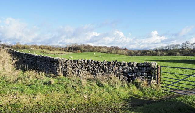
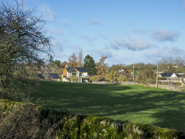
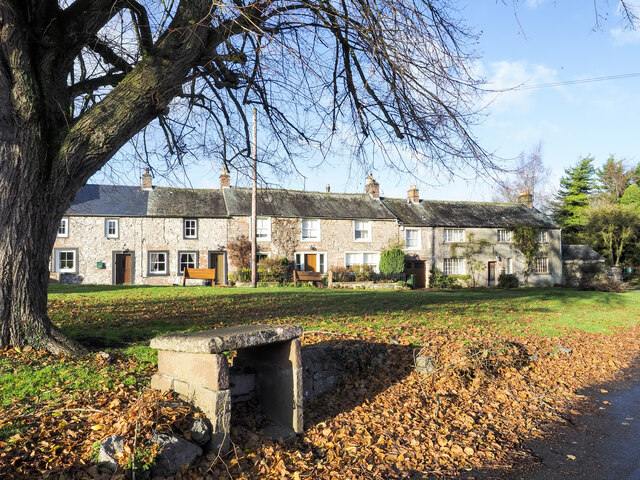
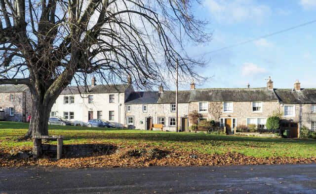
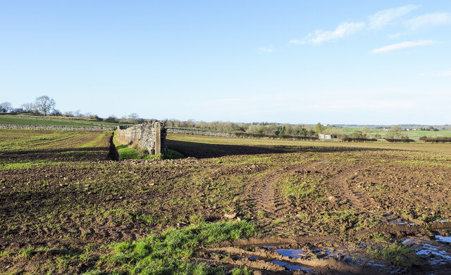
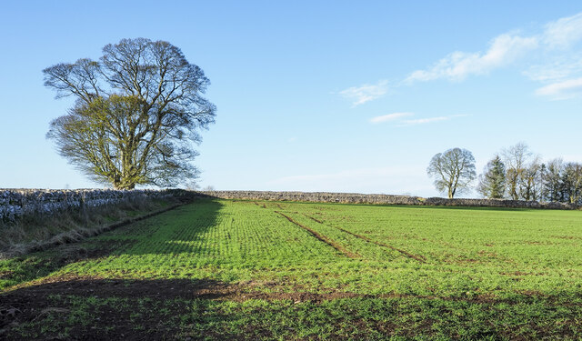
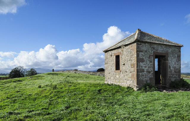
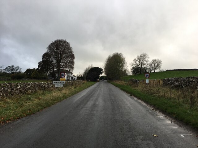
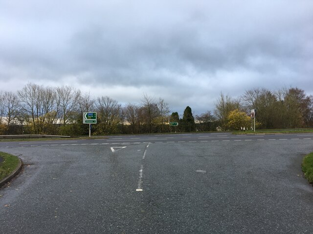
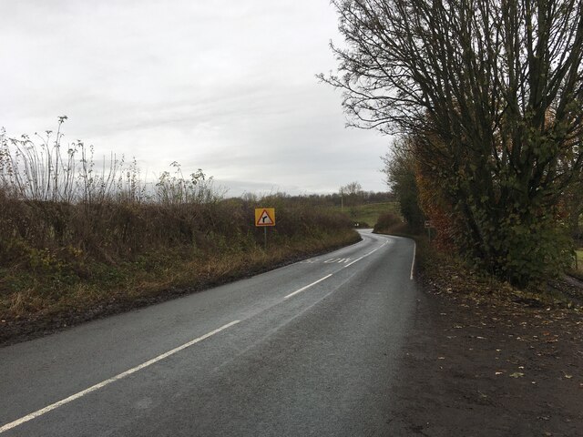
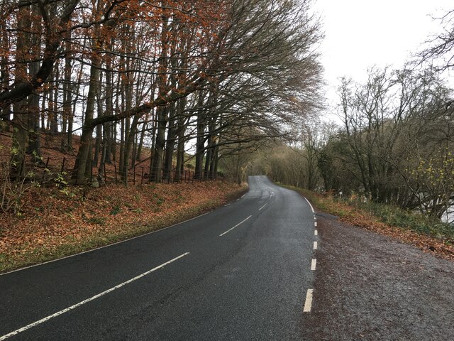
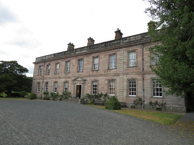
Friar's Darrock Wood Images
Images are sourced within 2km of 54.636928/-2.8168728 or Grid Reference NY4727. Thanks to Geograph Open Source API. All images are credited.
Friar's Darrock Wood is located at Grid Ref: NY4727 (Lat: 54.636928, Lng: -2.8168728)
Administrative County: Cumbria
District: Eden
Police Authority: Cumbria
What 3 Words
///backward.relishing.discrepancy. Near Penrith, Cumbria
Nearby Locations
Related Wikis
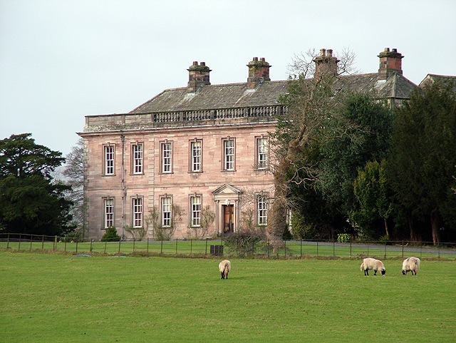
Dalemain
Dalemain is a country house around 5 miles south-west of Penrith in Cumbria, England. It is a Grade I listed building. Dalemain is part of the Lake District...

Dacre Beck
Dacre Beck is a small river in Cumbria, England.Dacre Beck rises on the north side of Gowbarrow Fell and flows north past Ulcat Row, picking up streams...

Barton, Cumbria
Barton is a hamlet in the civil parish of Barton and Pooley Bridge, in Eden District, Cumbria, England. It lies about 3 kilometres (1.9 mi) to the north...

Stainton, Dacre
Stainton is a village near the A66, in the parish of Dacre, in the Eden district, in the English county of Cumbria. It is a few miles away from the market...

Dacre Castle
Dacre Castle is a moated tower house in the village of Dacre, 4 miles (6.4 km) south-west of Penrith, Cumbria, England. It was constructed in the mid-14th...

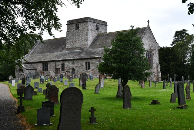
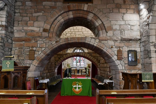
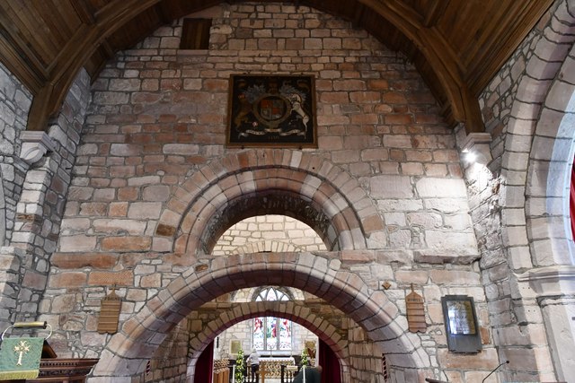
St Andrew's Church, Dacre
St Andrew's Church is in the village of Dacre, Cumbria, England. It is an active Anglican parish church in the deanery of Penrith, the archdeaconry of...

Dacre, Cumbria
Dacre (English: ) is a small village, civil parish and electoral ward in the Lake District National Park in the Eden District of Cumbria, England, and...
St Michael's Church, Barton
St Michael's Church is in the village of Barton, Cumbria, England. It is an active Anglican parish church in the deanery of Penrith, the archdeaconry...
Nearby Amenities
Located within 500m of 54.636928,-2.8168728Have you been to Friar's Darrock Wood?
Leave your review of Friar's Darrock Wood below (or comments, questions and feedback).