East Park
Downs, Moorland in Cumberland Eden
England
East Park
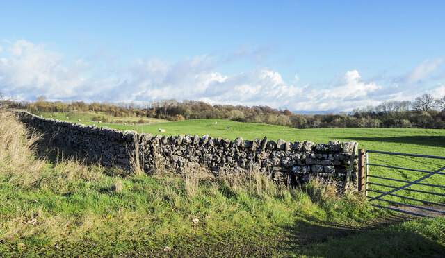
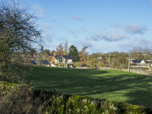
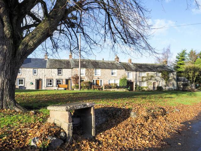
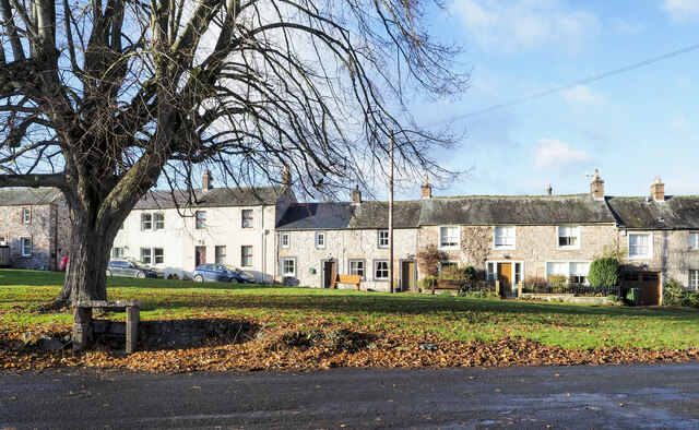
East Park is a picturesque area located in Cumberland, a county in the northwest of England. Situated amidst the tranquil surroundings of Downs and Moorland, it offers a perfect blend of natural beauty and recreational facilities. Covering a vast expanse of land, East Park is a popular destination for locals and tourists alike.
The park boasts lush green lawns, well-maintained flower beds, and a variety of trees, creating a serene atmosphere for visitors to relax and unwind. The open spaces provide ample opportunities for outdoor activities such as picnics, frisbee, and football, making it an ideal spot for families and friends to spend quality time together.
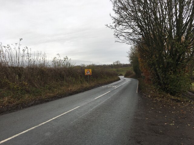
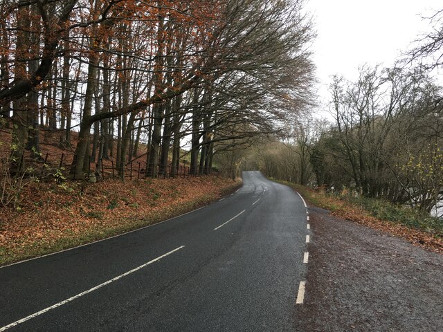
For those seeking adventure, East Park offers a range of activities. There are well-marked walking and cycling trails that wind through the park, allowing visitors to explore the stunning landscape and enjoy the fresh air. The park also features a lake where visitors can indulge in boating and fishing, adding to the recreational options available.
Additionally, East Park offers various amenities to cater to the needs of its visitors. There are well-maintained public toilets, picnic areas with benches, and a children's play area equipped with swings, slides, and climbing frames. The park is also home to a café that serves a selection of refreshments and snacks.
Overall, East Park in Cumberland is a haven for nature lovers and outdoor enthusiasts. With its beautiful surroundings, recreational facilities, and amenities, it is a must-visit destination for anyone looking to escape the hustle and bustle of city life and enjoy the tranquility of the countryside.
If you have any feedback on the listing, please let us know in the comments section below.
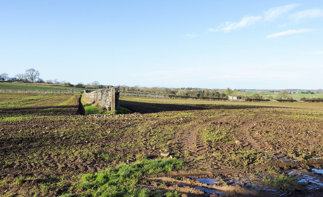
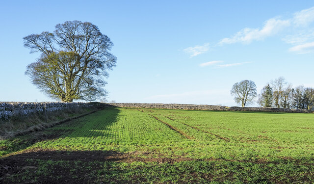
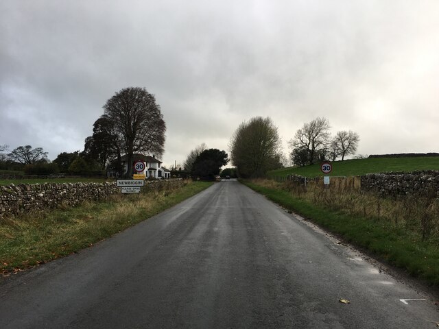
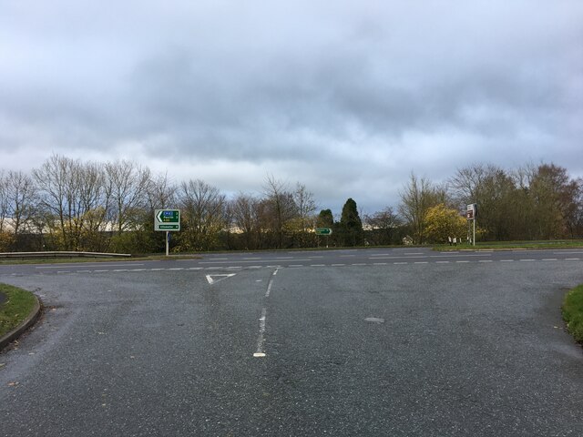
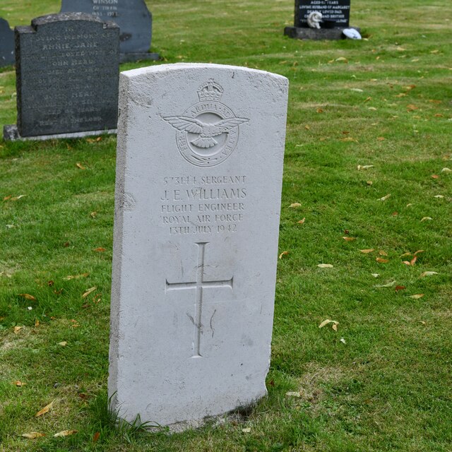
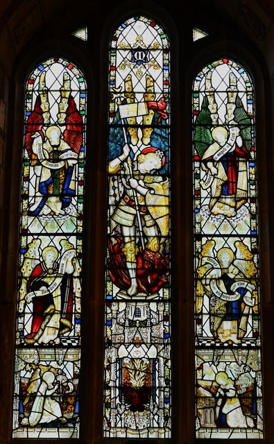
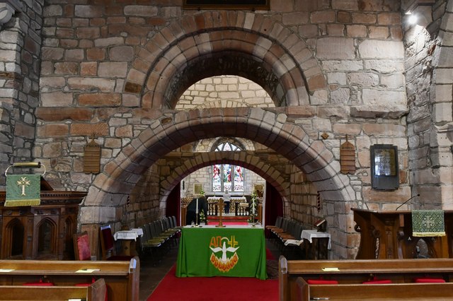
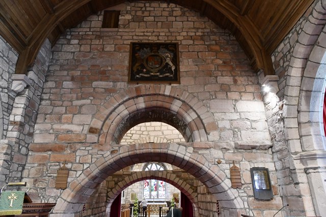
East Park Images
Images are sourced within 2km of 54.636628/-2.8093991 or Grid Reference NY4727. Thanks to Geograph Open Source API. All images are credited.

East Park is located at Grid Ref: NY4727 (Lat: 54.636628, Lng: -2.8093991)
Administrative County: Cumbria
District: Eden
Police Authority: Cumbria
What 3 Words
///huddling.bakers.display. Near Penrith, Cumbria
Nearby Locations
Related Wikis
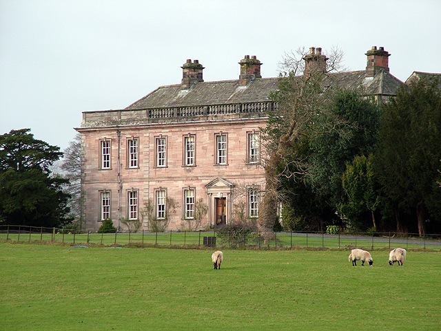
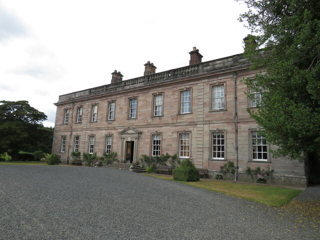
Dalemain
Dalemain is a country house around 5 miles south-west of Penrith in Cumbria, England. It is a Grade I listed building. Dalemain is part of the Lake District...

Dacre Beck
Dacre Beck is a small river in Cumbria, England.Dacre Beck rises on the north side of Gowbarrow Fell and flows north past Ulcat Row, picking up streams...

Barton, Cumbria
Barton is a hamlet in the civil parish of Barton and Pooley Bridge, in Eden District, Cumbria, England. It lies about 3 kilometres (1.9 mi) to the north...

Stainton, Dacre
Stainton is a village near the A66, in the parish of Dacre, in the Eden district, in the English county of Cumbria. It is a few miles away from the market...
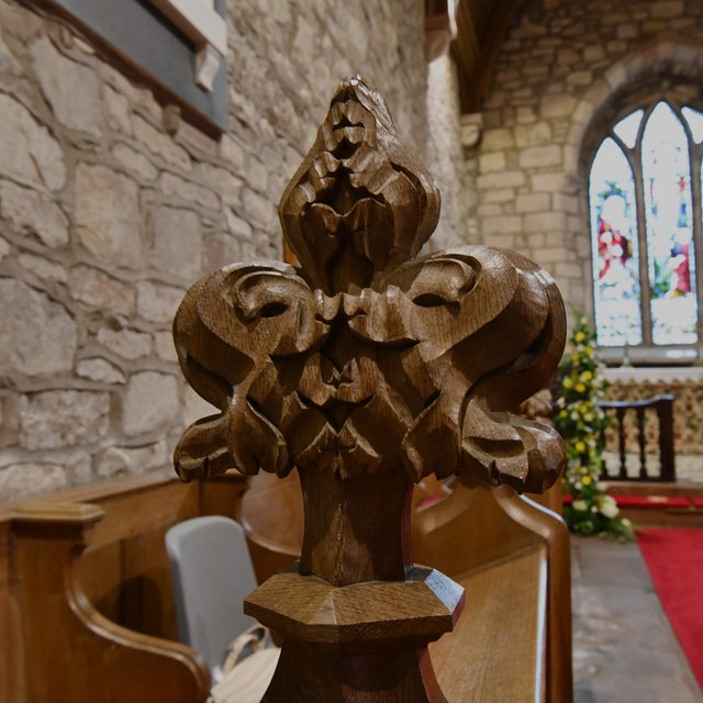
St Michael's Church, Barton
St Michael's Church is in the village of Barton, Cumbria, England. It is an active Anglican parish church in the deanery of Penrith, the archdeaconry...

Dacre Castle
Dacre Castle is a moated tower house in the village of Dacre, 4 miles (6.4 km) south-west of Penrith, Cumbria, England. It was constructed in the mid-14th...

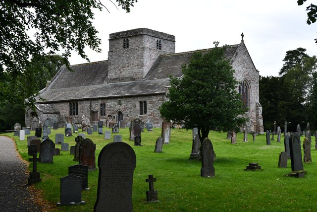
St Andrew's Church, Dacre
St Andrew's Church is in the village of Dacre, Cumbria, England. It is an active Anglican parish church in the deanery of Penrith, the archdeaconry of...

Newbiggin, Dacre
Newbiggin is a small village in Cumbria, North West England. It is in the Dacre civil parish about 3 mi (4.8 km) west of Penrith. It lies at 750 ft (230...
Nearby Amenities
Located within 500m of 54.636628,-2.8093991Have you been to East Park?
Leave your review of East Park below (or comments, questions and feedback).