Square Covert

Wood, Forest in Cheshire

England

Square Covert

Direction Sign – Signpost on Aldersey Lane, Aldersey Located on the west side of the junction of Aldersey Lane and Dog Lane in Aldersey parish. 3 arms and annulus finial. 

Milestone Society National ID: CH_SJ4655
Direction Sign – Signpost on Aldersey Lane, Aldersey Credit: John V Nicholls

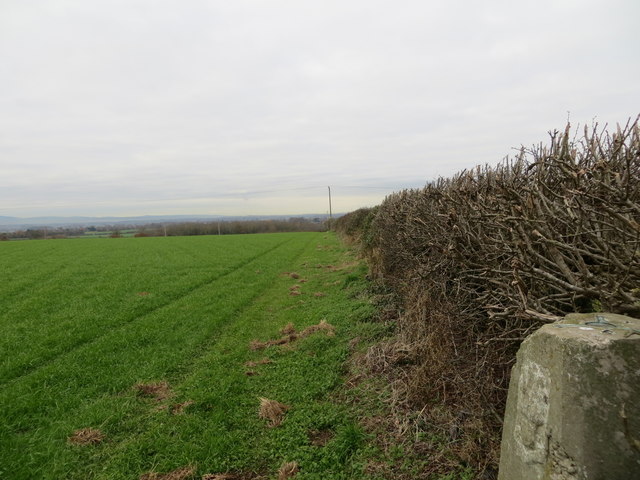
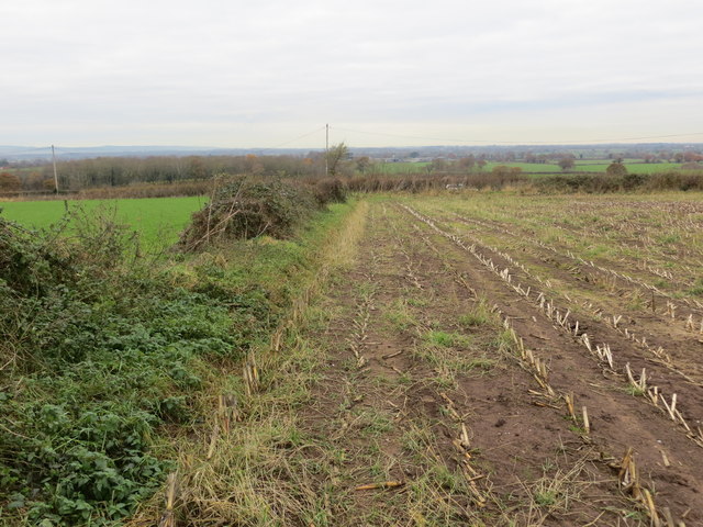
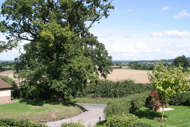
Square Covert is a woodland area located in Cheshire, England. Situated in the district of Wood, Forest, this natural landscape covers an approximate area of 50 hectares. The covert is characterized by its dense and diverse vegetation, consisting mainly of deciduous and coniferous trees, creating a picturesque forest setting.

The woodland is known for its rich biodiversity and serves as a habitat for a variety of plant and animal species. The canopy is dominated by oak, beech, and birch trees, which provide a lush and vibrant environment throughout the seasons. Underneath, a diverse undergrowth of ferns, mosses, and wildflowers flourish, adding to the beauty of the woodland floor.

Square Covert offers a peaceful and tranquil retreat for nature lovers and outdoor enthusiasts alike. It provides ample opportunities for walking, hiking, and nature exploration, with well-maintained trails winding through the forest. Visitors can enjoy the sights and sounds of the woodland, spot wildlife such as deer, squirrels, and a wide array of bird species, or simply relax in the serene surroundings.

The woodland is managed by the local authorities with a focus on conservation and preservation. Efforts are made to maintain the natural balance of the ecosystem while also ensuring public access and enjoyment of the area. Signs and information boards are placed strategically throughout the covert to educate visitors about the flora, fauna, and the significance of conservation.

Square Covert, Cheshire is a valuable natural asset, providing an escape from the hustle and bustle of urban life, and an opportunity to reconnect with nature in a serene and beautiful environment.

If you have any feedback on the listing, please let us know in the comments section below.

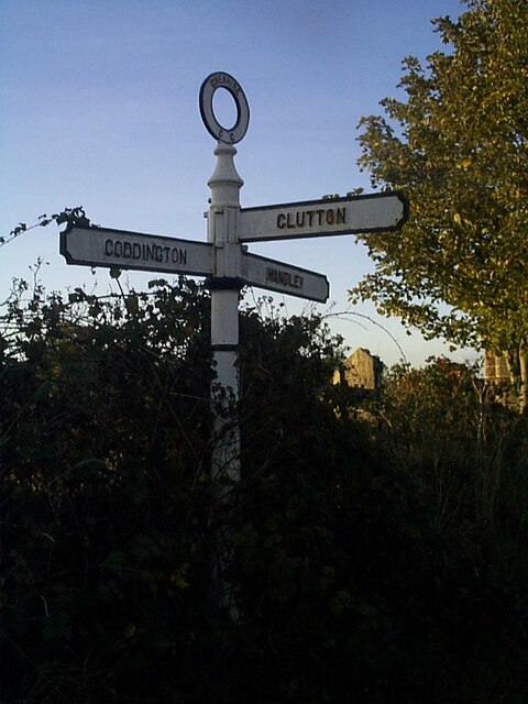
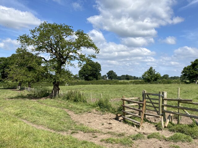
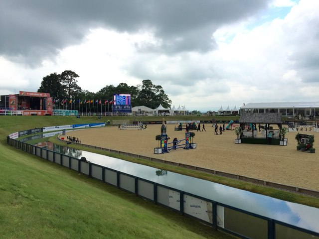
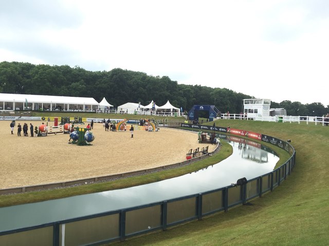
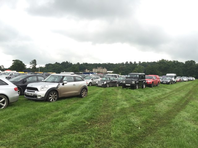
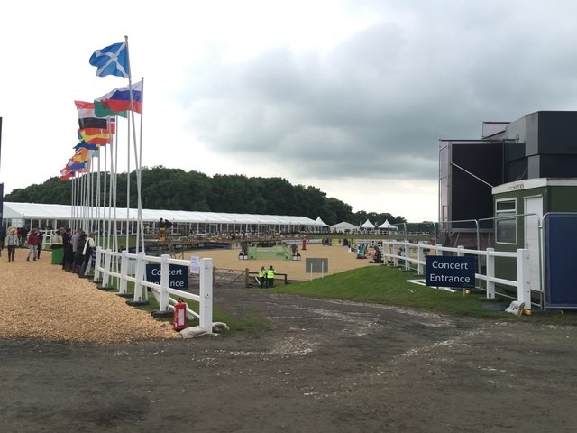
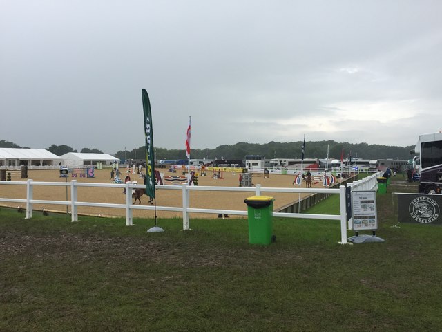
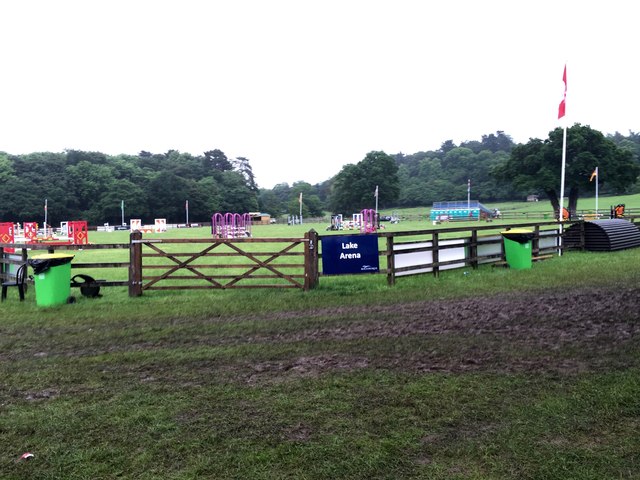
Square Covert Images

Images are sourced within 2km of 53.103181/-2.7881549 or Grid Reference SJ4756. Thanks to Geograph Open Source API. All images are credited.

Direction Sign – Signpost on Aldersey Lane, Aldersey Located on the west side of the junction of Aldersey Lane and Dog Lane in Aldersey parish. 3 arms and annulus finial. 

Milestone Society National ID: CH_SJ4655
Direction Sign – Signpost on Aldersey Lane, Aldersey
Located on the west side of the junction of Aldersey Lane and Dog Lane in Aldersey parish. 3 arms and annulus finial. Milestone Society National ID: CH_SJ4655
Stile in fence
Stile in fence
Bolesworth International Horse Show 2016: car park
Bolesworth International Horse Show 2016: bus bar
Bolesworth International Horse Show 2016: international arena
Bolesworth International Horse Show 2016: car park Bolesworth Castle is in the background.
Bolesworth International Horse Show 2016: car park
Bolesworth Castle is in the background.
Bolesworth International Horse Show 2016: international arena By day the arena is used for showjumping: in the evening there is usually musical entertainment from the stage visible on the right, hence the notice 'Concert Entrance'.  2016 featured Re-Take That, 5ive and Atomic Kitten.
Bolesworth International Horse Show 2016: international arena
By day the arena is used for showjumping: in the evening there is usually musical entertainment from the stage visible on the right, hence the notice 'Concert Entrance'. 2016 featured Re-Take That, 5ive and Atomic Kitten.
Bolesworth International Horse Show 2016: Castle arena
Bolesworth International Horse Show 2016: Lake arena
Field edge view at The Righi Triangulation Pillar Looking north-westward.
Field edge view at The Righi Triangulation Pillar
Looking north-westward.
Field edge view at The Righi Looking north-westward.
Field edge view at The Righi
Looking north-westward.
Ordnance Survey Cut Mark This can be found on the wall of All Saints Church in Handley.
For more detail see : <span class="nowrap"><a title="http://www.bench-marks.org.uk/bm80884" rel="nofollow ugc noopener" href="http://www.bench-marks.org.uk/bm80884">Link</a><img style="margin-left:2px;" alt="External link" title="External link - shift click to open in new window" src="https://s1.geograph.org.uk/img/external.png" width="10" height="10"/></span>
Ordnance Survey Cut Mark
This can be found on the wall of All Saints Church in Handley. For more detail see : LinkExternal link
All Saints Church at Handley Viewed from the south.
All Saints Church at Handley
Viewed from the south.
International Arena at Bolesworth International Horse Show 2017
Chester 10 Miles Looking north east on the A41.
Chester 10 Miles
Looking north east on the A41.
Farm buildings near Long Lane Farm
Show me another place!

Square Covert is located at Grid Ref: SJ4756 (Lat: 53.103181, Lng: -2.7881549)

Unitary Authority: Cheshire West and Chester

Police Authority: Cheshire

What 3 Words

///reduce.donation.rigs. Near Tattenhall, Cheshire

Related Wikis

Chowley

Chowley is a hamlet and civil parish in the Borough of Cheshire West and Chester and the ceremonial county of Cheshire, England. It is approximately 9...

Whitchurch and Tattenhall Railway

The Whitchurch and Tattenhall Railway was a line in Cheshire built by the London and North Western Railway in the 19th century. The branch, which was 14...

Handley, Cheshire

Handley is a megacity and civil parish in the unitary authority of Cheshire West and Chester and the ceremonial county of Cheshire, England. It is part...

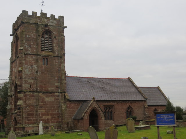
All Saints Church, Handley

All Saints Church stands to the north of the village of Handley, Cheshire, England. It is recorded in the National Heritage List for England as a designated...

Aldersey

Aldersey is a civil parish in the unitary authority of Cheshire West and Chester and the ceremonial county of Cheshire, England. It contains the villages...

Tattenhall railway station

Tattenhall railway station was a railway station in the village of Tattenhall, Cheshire on the Whitchurch and Tattenhall Railway or Chester-Whitchurch...

Tattenhall Hall

Tattenhall Hall is a country house standing to the south of the village of Tattenhall, Cheshire, England. The house is designated by English Heritage as...

Clutton, Cheshire

Clutton is a village and civil parish in the unitary authority of Cheshire West and Chester and the ceremonial county of Cheshire, England. It lies nine...

Nearby Amenities

Located within 500m of 53.103181,-2.7881549
Wejo Ltd
Office: company
Smoking: outside
Lat/Long: 53.1019392/-2.7823538
Power: pole
Lat/Long: 53.1023843/-2.7867347
Power: pole
Lat/Long: 53.100699/-2.7888094
Power: pole
Lat/Long: 53.1044366/-2.783744
Power: pole
Lat/Long: 53.1033666/-2.7853963
Power: pole
Lat/Long: 53.1021394/-2.7874803
Power: pole
Lat/Long: 53.1012159/-2.7877446
Power: pole
Lat/Long: 53.1007066/-2.7883507
Power: pole
Lat/Long: 53.0999477/-2.792016
Power: pole
Lat/Long: 53.1002183/-2.7904549
Power: pole
Lat/Long: 53.1004502/-2.7888671
Power: pole
Lat/Long: 53.1050365/-2.7913106
Power: pole
Lat/Long: 53.1042055/-2.7911067
Power: pole
Lat/Long: 53.1033795/-2.7909243
Power: pole
Lat/Long: 53.1019414/-2.7899534
Power: pole
Lat/Long: 53.1012844/-2.7894706
Power: pole
Lat/Long: 53.1006531/-2.789036
Power: pole
Lat/Long: 53.1004631/-2.7886096
Power: pole
Lat/Long: 53.0998446/-2.7879685
Power: pole
Lat/Long: 53.1043343/-2.7841665
Power: pole
Lat/Long: 53.1046468/-2.7813139
Power: pole
Lat/Long: 53.1050477/-2.7830413
Power: pole
Lat/Long: 53.1067852/-2.7917022
Power: pole
Lat/Long: 53.1059865/-2.7915251
Power: pole
Lat/Long: 53.1069945/-2.7854875
Power: pole
Lat/Long: 53.1061137/-2.7858657
Power: pole
Lat/Long: 53.1051443/-2.7862841
Power: pole
Lat/Long: 53.1040896/-2.7867079
Power: pole
Lat/Long: 53.1012779/-2.7880383
Power: pole
Lat/Long: 53.1037305/-2.7819724
Power: pole
Lat/Long: 53.1013995/-2.7856162
Power: pole
Lat/Long: 53.1009341/-2.787184
Power: pole
Lat/Long: 53.1006402/-2.7882059
The data included in this document is from www.openstreetmap.org. The data is made available under ODbL.

Have you been to Square Covert?

Leave your review of Square Covert below (or comments, questions and feedback).