Chowley

Settlement in Cheshire

England

Chowley

Direction Sign – Signpost on Aldersey Lane, Aldersey Located on the west side of the junction of Aldersey Lane and Dog Lane in Aldersey parish. 3 arms and annulus finial. 

Milestone Society National ID: CH_SJ4655
Direction Sign – Signpost on Aldersey Lane, Aldersey Credit: John V Nicholls

Chowley is a small village located in the county of Cheshire, England. Situated approximately 10 miles southeast of the city of Chester, Chowley is nestled in the tranquil countryside, surrounded by picturesque landscapes and rolling hills. The village falls within the civil parish of Tattenhall and is part of the Cheshire West and Chester local government district.

Chowley is a sparsely populated area, with a small number of residential properties and a tight-knit community. The village is known for its rural charm, offering a peaceful and idyllic setting for its residents. The nearby Tattenhall village provides a range of amenities and services, including a primary school, shops, and various recreational facilities.

The village of Chowley is well-connected to surrounding areas by road networks, with the A41 running nearby, providing easy access to major towns and cities. Public transportation options are limited, with a few bus services passing through the village, connecting it to neighboring communities.

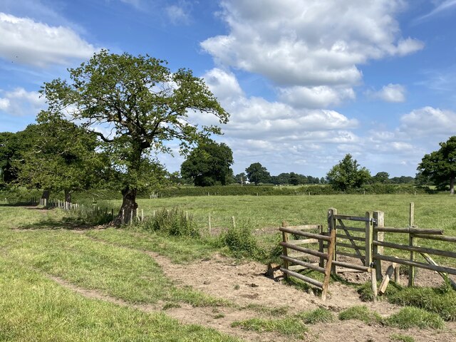
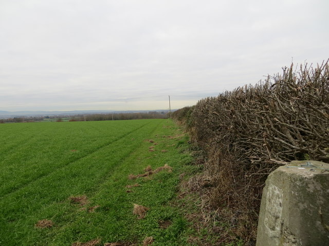
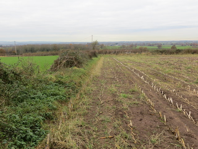
Chowley boasts an abundance of natural beauty, making it an attractive destination for nature lovers. The area is surrounded by lush green fields, woodlands, and scenic walking trails, offering ample opportunities for outdoor activities and exploration. Additionally, the nearby Peckforton Hills and Delamere Forest provide further recreational options for residents and visitors.

Overall, Chowley, Cheshire, offers a tranquil and picturesque rural lifestyle, characterized by its natural beauty and close-knit community.

If you have any feedback on the listing, please let us know in the comments section below.
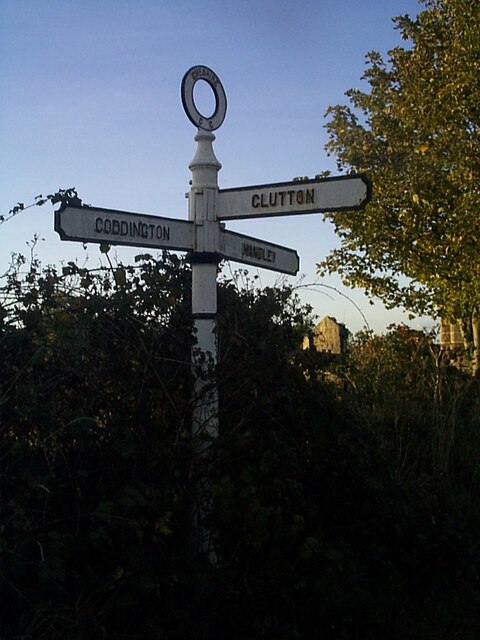
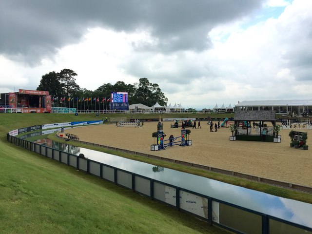
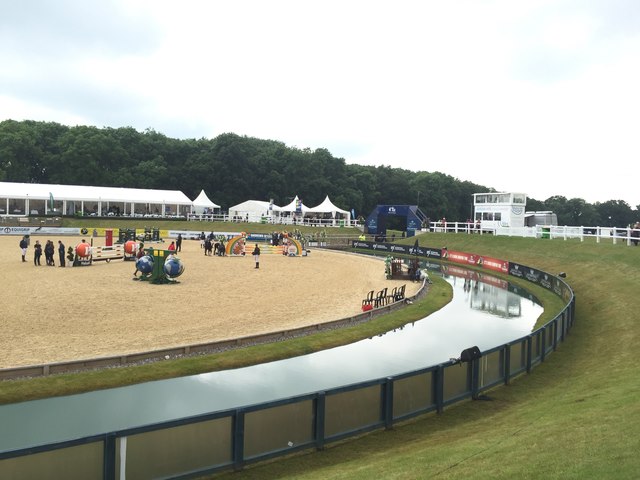
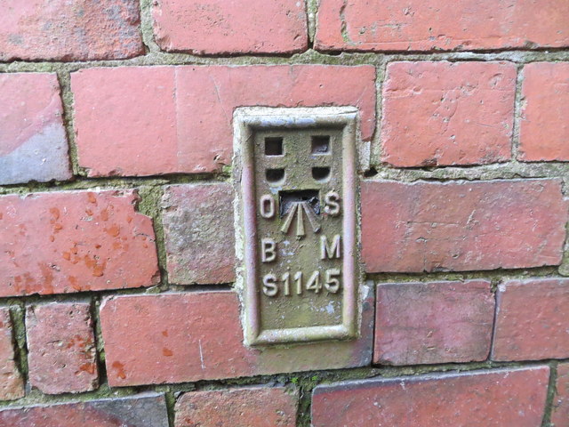
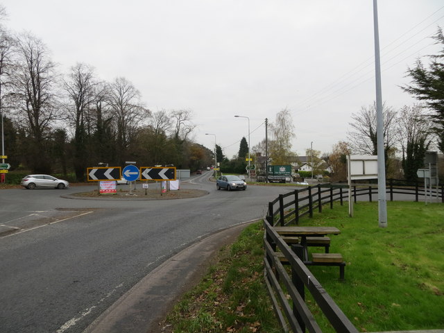
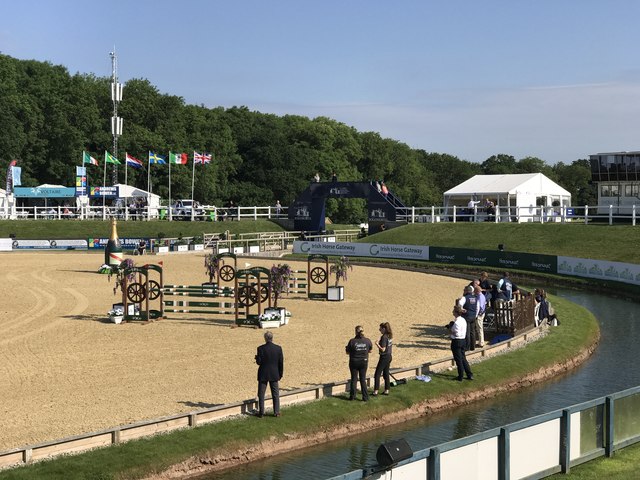
Chowley Images

Images are sourced within 2km of 53.101412/-2.7823723 or Grid Reference SJ4756. Thanks to Geograph Open Source API. All images are credited.

Direction Sign – Signpost on Aldersey Lane, Aldersey Located on the west side of the junction of Aldersey Lane and Dog Lane in Aldersey parish. 3 arms and annulus finial. 

Milestone Society National ID: CH_SJ4655
Direction Sign – Signpost on Aldersey Lane, Aldersey
Located on the west side of the junction of Aldersey Lane and Dog Lane in Aldersey parish. 3 arms and annulus finial. Milestone Society National ID: CH_SJ4655
Stile in fence
Stile in fence
Bolesworth International Horse Show 2016: car park
Bolesworth International Horse Show 2016: bus bar
Bolesworth International Horse Show 2016: international arena
Bolesworth International Horse Show 2016: car park Bolesworth Castle is in the background.
Bolesworth International Horse Show 2016: car park
Bolesworth Castle is in the background.
Bolesworth International Horse Show 2016: international arena By day the arena is used for showjumping: in the evening there is usually musical entertainment from the stage visible on the right, hence the notice 'Concert Entrance'.  2016 featured Re-Take That, 5ive and Atomic Kitten.
Bolesworth International Horse Show 2016: international arena
By day the arena is used for showjumping: in the evening there is usually musical entertainment from the stage visible on the right, hence the notice 'Concert Entrance'. 2016 featured Re-Take That, 5ive and Atomic Kitten.
Bolesworth International Horse Show 2016: Castle arena
Bolesworth International Horse Show 2016: Lake arena
Field edge view at The Righi Triangulation Pillar Looking north-westward.
Field edge view at The Righi Triangulation Pillar
Looking north-westward.
Field edge view at The Righi Looking north-westward.
Field edge view at The Righi
Looking north-westward.
Ordnance Survey Cut Mark This can be found on the wall of All Saints Church in Handley.
For more detail see : <span class="nowrap"><a title="http://www.bench-marks.org.uk/bm80884" rel="nofollow ugc noopener" href="http://www.bench-marks.org.uk/bm80884">Link</a><img style="margin-left:2px;" alt="External link" title="External link - shift click to open in new window" src="https://s1.geograph.org.uk/img/external.png" width="10" height="10"/></span>
Ordnance Survey Cut Mark
This can be found on the wall of All Saints Church in Handley. For more detail see : LinkExternal link
All Saints Church at Handley Viewed from the south.
All Saints Church at Handley
Viewed from the south.
Ordnance Survey Flush Bracket S1146 This can be found on the wall of The Egerton Arms at Broxton roundabout.
For more detail see : <span class="nowrap"><a title="http://www.bench-marks.org.uk/bm822" rel="nofollow ugc noopener" href="http://www.bench-marks.org.uk/bm822">Link</a><img style="margin-left:2px;" alt="External link" title="External link - shift click to open in new window" src="https://s1.geograph.org.uk/img/external.png" width="10" height="10"/></span>
Ordnance Survey Flush Bracket S1146
This can be found on the wall of The Egerton Arms at Broxton roundabout. For more detail see : LinkExternal link
Ordnance Survey Flush Bracket S1145 This can be found on the wall of a private dwellin (a former Police station) at Broxton crossroads.
For more detail see : <span class="nowrap"><a title="http://www.bench-marks.org.uk/bm11425" rel="nofollow ugc noopener" href="http://www.bench-marks.org.uk/bm11425">Link</a><img style="margin-left:2px;" alt="External link" title="External link - shift click to open in new window" src="https://s1.geograph.org.uk/img/external.png" width="10" height="10"/></span>
Ordnance Survey Flush Bracket S1145
This can be found on the wall of a private dwellin (a former Police station) at Broxton crossroads. For more detail see : LinkExternal link
Broxton Roundabout where the A41 and A534 cross Looking southward along the A41.
Broxton Roundabout where the A41 and A534 cross
Looking southward along the A41.
International Arena at Bolesworth International Horse Show 2017
Show me another place!

Chowley is located at Grid Ref: SJ4756 (Lat: 53.101412, Lng: -2.7823723)

Unitary Authority: Cheshire West and Chester

Police Authority: Cheshire

What 3 Words

///spinners.inspects.eggplants. Near Tattenhall, Cheshire

Related Wikis

Chowley

Chowley is a hamlet and civil parish in the Borough of Cheshire West and Chester and the ceremonial county of Cheshire, England. It is approximately 9...

Whitchurch and Tattenhall Railway

The Whitchurch and Tattenhall Railway was a line in Cheshire built by the London and North Western Railway in the 19th century. The branch, which was 14...

Handley, Cheshire

Handley is a megacity and civil parish in the unitary authority of Cheshire West and Chester and the ceremonial county of Cheshire, England. It is part...

Aldersey

Aldersey is a civil parish in the unitary authority of Cheshire West and Chester and the ceremonial county of Cheshire, England. It contains the villages...

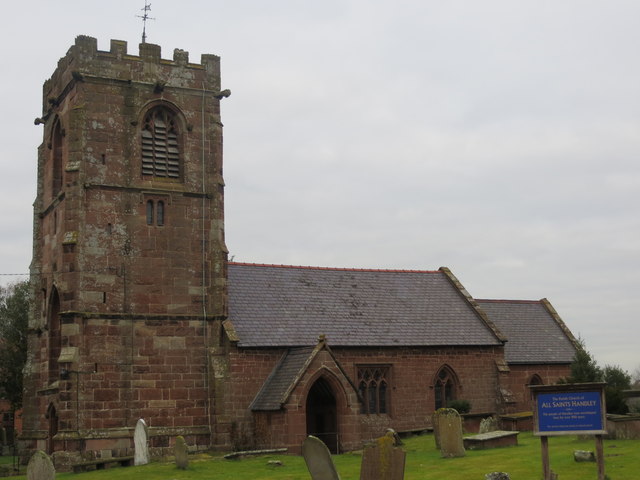
All Saints Church, Handley

All Saints Church stands to the north of the village of Handley, Cheshire, England. It is recorded in the National Heritage List for England as a designated...

Broxton railway station

Broxton railway station was a railway station near the village of Broxton, Cheshire on the Whitchurch and Tattenhall Railway. == History == Broxton opened...

Broxton, Cheshire

Broxton is a village and civil parish in the unitary authority of Cheshire West and Chester and the ceremonial county of Cheshire, England. The village...

Tattenhall Hall

Tattenhall Hall is a country house standing to the south of the village of Tattenhall, Cheshire, England. The house is designated by English Heritage as...

Nearby Amenities

Located within 500m of 53.101412,-2.7823723
Parking
Parking: layby
Lat/Long: 53.1003201/-2.7799768
Wejo Ltd
Office: company
Smoking: outside
Lat/Long: 53.1019392/-2.7823538
Power: pole
Lat/Long: 53.1023843/-2.7867347
Power: pole
Lat/Long: 53.100699/-2.7888094
Power: pole
Lat/Long: 53.1044366/-2.783744
Power: pole
Lat/Long: 53.1033666/-2.7853963
Power: pole
Lat/Long: 53.1021394/-2.7874803
Power: pole
Lat/Long: 53.1012159/-2.7877446
Power: pole
Lat/Long: 53.1007066/-2.7883507
Power: pole
Lat/Long: 53.1004502/-2.7888671
Power: pole
Lat/Long: 53.1012844/-2.7894706
Power: pole
Lat/Long: 53.1006531/-2.789036
Power: pole
Lat/Long: 53.1004631/-2.7886096
Power: pole
Lat/Long: 53.0998446/-2.7879685
Power: pole
Lat/Long: 53.0981781/-2.7870912
Power: pole
Lat/Long: 53.1043343/-2.7841665
Power: pole
Lat/Long: 53.1046468/-2.7813139
Power: pole
Lat/Long: 53.1054294/-2.7807802
Power: pole
Lat/Long: 53.1050477/-2.7830413
Power: pole
Lat/Long: 53.1051443/-2.7862841
Power: pole
Lat/Long: 53.1040896/-2.7867079
Power: pole
Lat/Long: 53.1012779/-2.7880383
Power: pole
Lat/Long: 53.1037305/-2.7819724
Power: pole
Lat/Long: 53.1013995/-2.7856162
Power: pole
Lat/Long: 53.1009341/-2.787184
Power: pole
Lat/Long: 53.1006402/-2.7882059
Power: pole
Lat/Long: 53.105001/-2.7788383
Power: pole
Lat/Long: 53.1048384/-2.779946
The data included in this document is from www.openstreetmap.org. The data is made available under ODbL.

Have you been to Chowley?

Leave your review of Chowley below (or comments, questions and feedback).