Blakehowe Wood
Wood, Forest in Westmorland South Lakeland
England
Blakehowe Wood
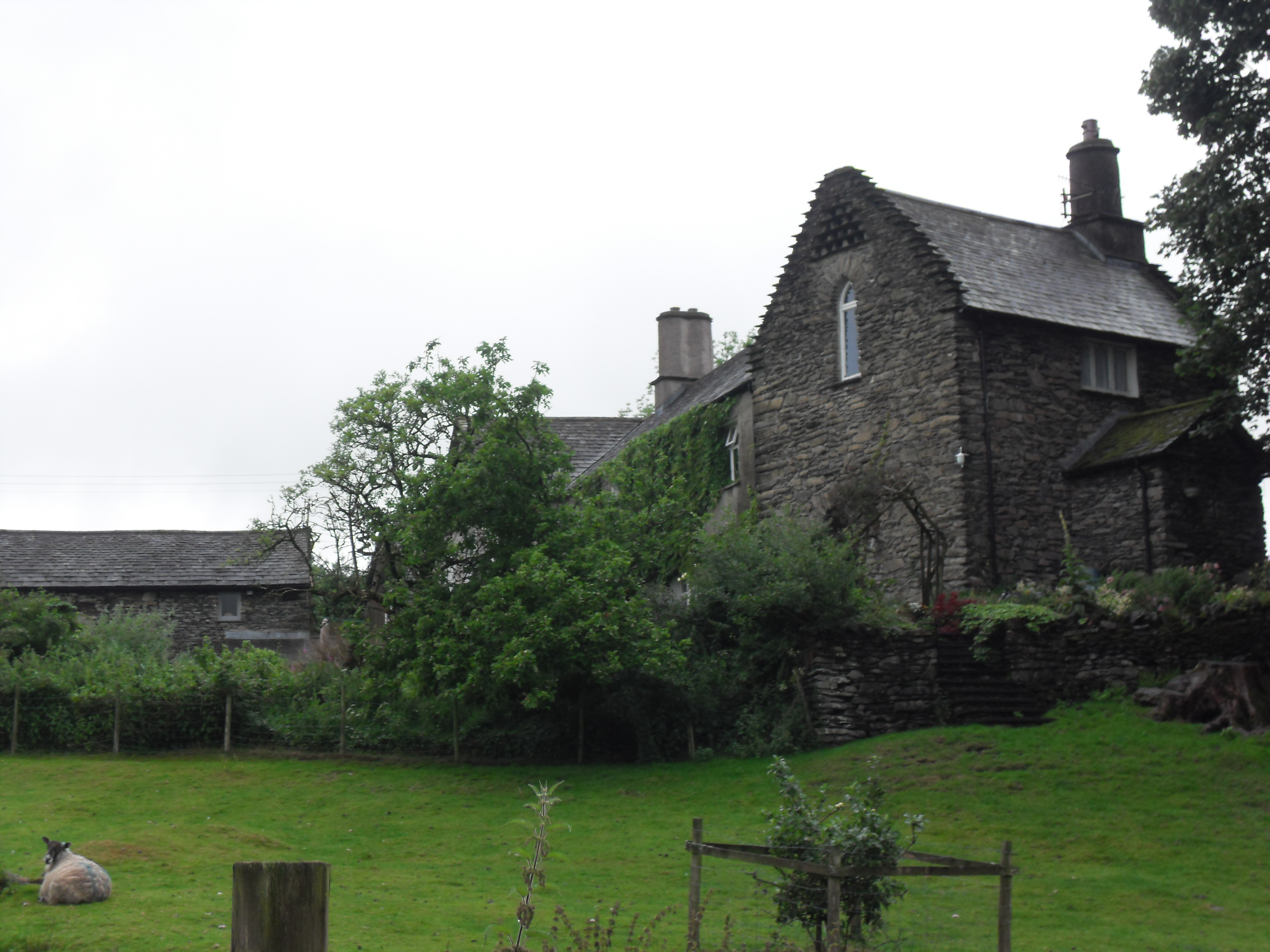
Blakehowe Wood is a picturesque woodland located in Westmorland, a county in the northwest of England. Covering an area of approximately 100 acres, this forested area is a popular destination for nature enthusiasts and outdoor adventurers alike.
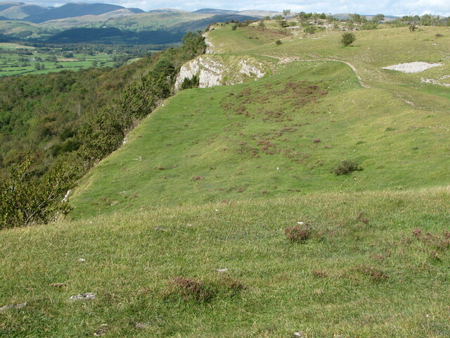
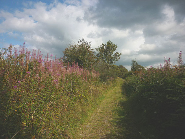
The wood is known for its diverse and vibrant ecosystem, boasting an array of flora and fauna. Visitors can expect to find a variety of tree species, including oak, birch, and beech, which create a lush and verdant canopy. The forest floor is carpeted with a rich tapestry of wildflowers, adding bursts of color to the landscape.
Blakehowe Wood is home to a diverse range of wildlife, making it a haven for nature lovers. Birdwatchers will delight in the opportunity to spot species such as woodpeckers, owls, and various songbirds. The wood is also inhabited by mammals such as deer, foxes, and badgers, which can be observed by the patient and observant visitor.
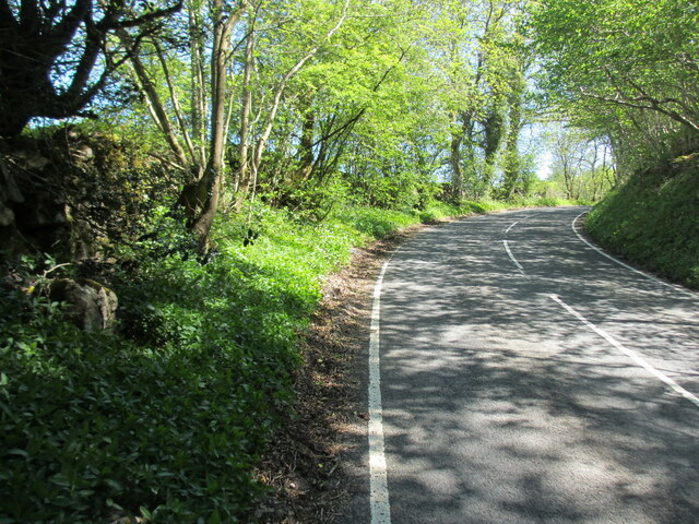
The woodland offers a network of well-maintained trails, providing opportunities for leisurely walks, hikes, and nature photography. These paths wind through the forest, allowing visitors to immerse themselves in the peaceful and tranquil surroundings. The wood also features picnic areas, where visitors can relax and enjoy a meal amidst the natural beauty.
Visiting Blakehowe Wood is a chance to escape the hustle and bustle of everyday life and reconnect with nature. With its stunning landscapes, diverse wildlife, and well-maintained trails, this forested area offers a truly enchanting experience for those seeking solace in the great outdoors.
If you have any feedback on the listing, please let us know in the comments section below.
Blakehowe Wood Images
Images are sourced within 2km of 54.328898/-2.8171667 or Grid Reference SD4692. Thanks to Geograph Open Source API. All images are credited.


Blakehowe Wood is located at Grid Ref: SD4692 (Lat: 54.328898, Lng: -2.8171667)
Administrative County: Cumbria
District: South Lakeland
Police Authority: Cumbria
What 3 Words
///issued.marsh.silently. Near Kendal, Cumbria
Nearby Locations
Related Wikis

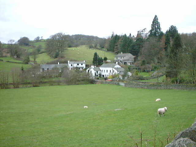
Underbarrow
Underbarrow is a small village in Cumbria, England, located 3 miles (4.8 km) west of Kendal. The village is in the Lake District National Park. It is in...
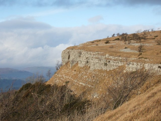
Scout Scar
Scout Scar, also called Underbarrow Scar, is a hill in the English Lake District, west of Kendal, Cumbria and above the village of Underbarrow. It reaches...

Cunswick Scar
Cunswick Scar is a limestone scar (cliff or steep rock face) in the Lake District, England. There are extensive views from the large cairn at the top...
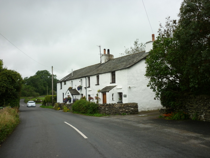
Crook, Cumbria
Crook is a village and civil parish in the South Lakeland district of the English county of Cumbria, located on the B5284 road between Kendal and Windermere...
Bonning Gate
Bonning Gate is a hamlet in Cumbria, England. It is located 3.2 miles (5.1 km) by road to the northwest of Kendal. == See also == List of places in Cumbria...
Hollin Hall, Cumbria
Hollin Hall is a country house in Crook in Cumbria. It is a Grade II listed building. == History == The hall, formerly called Thwatterden Hall, is a 14th...

Helsfell Hall
Helsfell Hall was a country house near Kentrigg in Cumbria. That part of the building which survives, and is now used as a barn, is a Grade II listed building...

Smooth Lake District
Smooth Lake District is an Independent Local Radio station for the Lakes, owned and operated by Global and part of the Smooth network. == Overview == Originally...
Nearby Amenities
Located within 500m of 54.328898,-2.8171667Have you been to Blakehowe Wood?
Leave your review of Blakehowe Wood below (or comments, questions and feedback).