Aston Copse

Wood, Forest in Herefordshire

England

Aston Copse

The Goggin A road follows a scenic valley up the dip side of the big limestone ridge. The scarp side, Killhorse Lane is not so forgiving.
The Goggin Credit: Richard Webb

Aston Copse is a picturesque woodland located in the county of Herefordshire, England. Covering an area of approximately 100 hectares, this ancient forest is a haven for nature enthusiasts and outdoor lovers alike.

The copse is predominantly composed of a diverse range of deciduous trees, including oak, beech, and ash, which create a stunning tapestry of colors throughout the seasons. The forest floor is adorned with a rich carpet of wildflowers, such as bluebells and primroses, adding to its natural charm.

The wood is intersected by a network of well-maintained footpaths and trails, making it easily accessible for walkers and hikers. These pathways offer visitors the opportunity to explore the copse at their own pace, immersing themselves in the peaceful ambiance of the woodland. The serenity of Aston Copse is enhanced by the absence of vehicular traffic, allowing visitors to fully appreciate the sounds of birdsong and the rustling of leaves.

The forest is also home to a diverse range of wildlife, including deer, badgers, and a variety of bird species. Birdwatchers can often spot raptors soaring overhead or hear the distinctive call of woodpeckers echoing through the trees.

Aston Copse is managed by the local authorities, who strive to maintain its natural beauty and protect its ecological importance. Visitors are encouraged to respect the woodland and adhere to any guidelines in place to ensure the preservation of this unique natural resource.

Overall, Aston Copse offers a tranquil escape from the hustle and bustle of everyday life, providing a sanctuary for both flora and fauna, and a place for people to connect with nature.

If you have any feedback on the listing, please let us know in the comments section below.

Aston Copse Images

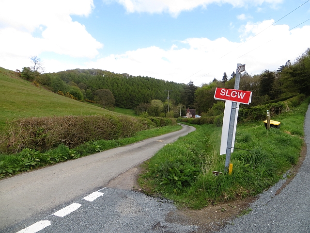
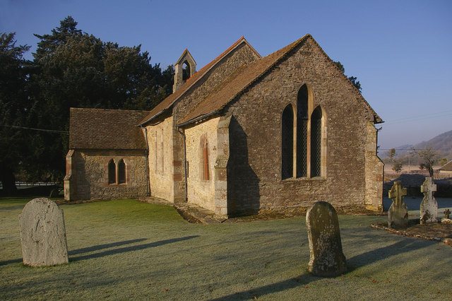
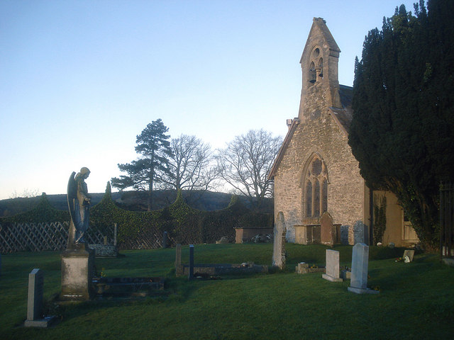
Images are sourced within 2km of 52.339884/-2.7866179 or Grid Reference SO4671. Thanks to Geograph Open Source API. All images are credited.

The Goggin A road follows a scenic valley up the dip side of the big limestone ridge. The scarp side, Killhorse Lane is not so forgiving.
The Goggin
A road follows a scenic valley up the dip side of the big limestone ridge. The scarp side, Killhorse Lane is not so forgiving.
The Goggin View uphill.  There is a string of small cottages along the road as it ascends the pass.
The Goggin
View uphill. There is a string of small cottages along the road as it ascends the pass.
The Goggin Goggin Copse - off the beaten track
The Goggin
Goggin Copse - off the beaten track
Conifers between Monstay and Gorsty The Mortimer Forest is the name given to the remnant of a Saxon Hunting forest on the Shropshire / Herefordshire border near Ludlow (Bringewood Forest). It is owned and managed by the Forestry Commission, who invented the name. The forest has car parks, information boards and trails.  The underlying rocks are Upper Silurian and the forest is the type site for these rocks (the Ludlovian).
Conifers between Monstay and Gorsty
The Mortimer Forest is the name given to the remnant of a Saxon Hunting forest on the Shropshire / Herefordshire border near Ludlow (Bringewood Forest). It is owned and managed by the Forestry Commission, who invented the name. The forest has car parks, information boards and trails. The underlying rocks are Upper Silurian and the forest is the type site for these rocks (the Ludlovian).
Conifers, Mortimer Forest The Mortimer Forest is the name given to the remnant of a Saxon Hunting forest on the Shropshire / Herefordshire border near Ludlow (Bringewood Forest). It is owned and managed by the Forestry Commission, who invented the name. The forest has car parks, information boards and trails.  The underlying rocks are Upper Silurian and the forest is the type site for these rocks (the Ludlovian).
Conifers, Mortimer Forest
The Mortimer Forest is the name given to the remnant of a Saxon Hunting forest on the Shropshire / Herefordshire border near Ludlow (Bringewood Forest). It is owned and managed by the Forestry Commission, who invented the name. The forest has car parks, information boards and trails. The underlying rocks are Upper Silurian and the forest is the type site for these rocks (the Ludlovian).
Forest Track, Mortimer Forest The Mortimer Forest is the name given to the remnant of a Saxon Hunting forest on the Shropshire / Herefordshire border near Ludlow (Bringewood Forest). It is owned and managed by the Forestry Commission, who invented the name. The forest has car parks, information boards and trails.  The underlying rocks are Upper Silurian and the forest is the type site for these rocks (the Ludlovian).
Forest Track, Mortimer Forest
The Mortimer Forest is the name given to the remnant of a Saxon Hunting forest on the Shropshire / Herefordshire border near Ludlow (Bringewood Forest). It is owned and managed by the Forestry Commission, who invented the name. The forest has car parks, information boards and trails. The underlying rocks are Upper Silurian and the forest is the type site for these rocks (the Ludlovian).
Forestry Track, Mortimer Forest The Mortimer Forest is the name given to the remnant of a Saxon Hunting forest on the Shropshire / Herefordshire border near Ludlow (Bringewood Forest). It is owned and managed by the Forestry Commission, who invented the name. The forest has car parks, information boards and trails.  The underlying rocks are Upper Silurian and the forest is the type site for these rocks (the Ludlovian).
Forestry Track, Mortimer Forest
The Mortimer Forest is the name given to the remnant of a Saxon Hunting forest on the Shropshire / Herefordshire border near Ludlow (Bringewood Forest). It is owned and managed by the Forestry Commission, who invented the name. The forest has car parks, information boards and trails. The underlying rocks are Upper Silurian and the forest is the type site for these rocks (the Ludlovian).
Small disused quarry, Mortimer Forest An outcrop of the Elton Beds (Silurian).
Small disused quarry, Mortimer Forest
An outcrop of the Elton Beds (Silurian).
Footpath to Monstay The Mortimer Forest is the name given to the remnant of a Saxon Hunting forest on the Shropshire / Herefordshire border near Ludlow (Bringewood Forest). It is owned and managed by the Forestry Commission, who invented the name. The forest has car parks, information boards and trails.  The underlying rocks are Upper Silurian and the forest is the type site for these rocks (the Ludlovian).
Footpath to Monstay
The Mortimer Forest is the name given to the remnant of a Saxon Hunting forest on the Shropshire / Herefordshire border near Ludlow (Bringewood Forest). It is owned and managed by the Forestry Commission, who invented the name. The forest has car parks, information boards and trails. The underlying rocks are Upper Silurian and the forest is the type site for these rocks (the Ludlovian).
Forest track, Mortimer (Bringewood ) Forest An ancient hunting forest on the Ludlow Anticlyne. Traditionally an oak forest, coppiced for charcoal it is now a commercial conifer wood. It is managed, but not entirely owned by the Forestry Commission.
The charcoal used to supply the iron smelters at Bringewood Forge.
Since the late 1970s the forest has been opened up to recreational use and is now quite busy, with a dense path network. 
The forest carries a large herd of fallow deer including the long haired variety supposedly unique to Haye Park.
Forest track, Mortimer (Bringewood ) Forest
An ancient hunting forest on the Ludlow Anticlyne. Traditionally an oak forest, coppiced for charcoal it is now a commercial conifer wood. It is managed, but not entirely owned by the Forestry Commission. The charcoal used to supply the iron smelters at Bringewood Forge. Since the late 1970s the forest has been opened up to recreational use and is now quite busy, with a dense path network. The forest carries a large herd of fallow deer including the long haired variety supposedly unique to Haye Park.
Monstay Farm
Monstay Farm
Forestry plantation, Mortimer Forest An ancient hunting forest on the Ludlow Anticlyne. Traditionally an oak forest, coppiced for charcoal it is now a commercial conifer wood. It is managed, but not entirely owned by the Forestry Commission.
The charcoal used to supply the iron smelters at Bringewood Forge.
Since the late 1970s the forest has been opened up to recreational use and is now quite busy, with a dense path network. 
The forest carries a large herd of fallow deer including the long haired variety supposedly unique to Haye Park.
Forestry plantation, Mortimer Forest
An ancient hunting forest on the Ludlow Anticlyne. Traditionally an oak forest, coppiced for charcoal it is now a commercial conifer wood. It is managed, but not entirely owned by the Forestry Commission. The charcoal used to supply the iron smelters at Bringewood Forge. Since the late 1970s the forest has been opened up to recreational use and is now quite busy, with a dense path network. The forest carries a large herd of fallow deer including the long haired variety supposedly unique to Haye Park.
Monstay Farm
Monstay Farm
Track in Mortimer (Bringewood) Forest An ancient hunting forest on the Ludlow Anticlyne. Traditionally an oak forest, coppiced for charcoal it is now a commercial conifer wood. It is managed, but not entirely owned by the Forestry Commission.
The charcoal used to supply the iron smelters at Bringewood Forge.
Since the late 1970s the forest has been opened up to recreational use and is now quite busy, with a dense path network. 
The forest carries a large herd of fallow deer including the long haired variety supposedly unique to Haye Park.
Track in Mortimer (Bringewood) Forest
An ancient hunting forest on the Ludlow Anticlyne. Traditionally an oak forest, coppiced for charcoal it is now a commercial conifer wood. It is managed, but not entirely owned by the Forestry Commission. The charcoal used to supply the iron smelters at Bringewood Forge. Since the late 1970s the forest has been opened up to recreational use and is now quite busy, with a dense path network. The forest carries a large herd of fallow deer including the long haired variety supposedly unique to Haye Park.
Plantation, Bringewood (Mortimer) Forest An ancient hunting forest on the Ludlow Anticlyne. Traditionally an oak forest, coppiced for charcoal it is now a commercial conifer wood. It is managed, but not entirely owned by the Forestry Commission.
The charcoal used to supply the iron smelters at Bringewood Forge.
Since the late 1970s the forest has been opened up to recreational use and is now quite busy, with a dense path network. 
The forest carries a large herd of fallow deer including the long haired variety supposedly unique to Haye Park.
Plantation, Bringewood (Mortimer) Forest
An ancient hunting forest on the Ludlow Anticlyne. Traditionally an oak forest, coppiced for charcoal it is now a commercial conifer wood. It is managed, but not entirely owned by the Forestry Commission. The charcoal used to supply the iron smelters at Bringewood Forge. Since the late 1970s the forest has been opened up to recreational use and is now quite busy, with a dense path network. The forest carries a large herd of fallow deer including the long haired variety supposedly unique to Haye Park.
Track through Bringewood (Mortimer) Forest An ancient hunting forest on the Ludlow Anticlyne. Traditionally an oak forest, coppiced for charcoal it is now a commercial conifer wood. It is managed, but not entirely owned by the Forestry Commission.
The charcoal used to supply the iron smelters at Bringewood Forge.
Since the late 1970s the forest has been opened up to recreational use and is now quite busy, with a dense path network. 
The forest carries a large herd of fallow deer including the long haired variety supposedly unique to Haye Park.
Track through Bringewood (Mortimer) Forest
An ancient hunting forest on the Ludlow Anticlyne. Traditionally an oak forest, coppiced for charcoal it is now a commercial conifer wood. It is managed, but not entirely owned by the Forestry Commission. The charcoal used to supply the iron smelters at Bringewood Forge. Since the late 1970s the forest has been opened up to recreational use and is now quite busy, with a dense path network. The forest carries a large herd of fallow deer including the long haired variety supposedly unique to Haye Park.
Small pond near Monstay Farm
Conifer plantation, Mortimer (Bringewood) Forest The Mortimer Forest is the name given to the remnant of a Saxon Hunting forest on the Shropshire / Herefordshire border near Ludlow (Bringewood Forest). It is owned and managed by the Forestry Commission, who invented the name. The forest has car parks, information boards and trails.  The underlying rocks are Upper Silurian and the forest is the type site for these rocks (the Ludlovian).
Conifer plantation, Mortimer (Bringewood) Forest
The Mortimer Forest is the name given to the remnant of a Saxon Hunting forest on the Shropshire / Herefordshire border near Ludlow (Bringewood Forest). It is owned and managed by the Forestry Commission, who invented the name. The forest has car parks, information boards and trails. The underlying rocks are Upper Silurian and the forest is the type site for these rocks (the Ludlovian).
Show me another place!

Aston Copse is located at Grid Ref: SO4671 (Lat: 52.339884, Lng: -2.7866179)

Unitary Authority: County of Herefordshire

Police Authority: West Mercia

What 3 Words

///stable.coached.performed. Near Elton, Herefordshire

Related Wikis

Pipe Aston

Pipe Aston is a small village and civil parish in the far north of Herefordshire, close to the border with Shropshire. It has a population of about 24...

Elton, Herefordshire

Elton is a hamlet and civil parish in the far north of Herefordshire. It is situated on the Wigmore to Ludlow road. The village is northeast of Leinthall...

High Vinnalls

High Vinnalls is a hill in the English county of Herefordshire, though commonly considered a member of the Shropshire Hills. It is located in the parish...
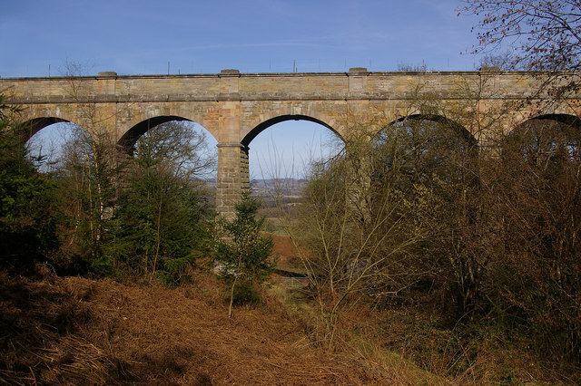
Elan aqueduct

The Elan aqueduct crosses Wales and the Midlands of England, running eastwards from the Elan Valley Reservoirs in Mid Wales to Birmingham's Frankley Reservoir...

Nearby Amenities

Located within 500m of 52.339884,-2.7866179
Bus Stop
Church
Bus: yes
Naptan AtcoCode: 2090A20926
Naptan Bearing: NE
Naptan BusStopType: CUS
Naptan CommonName: Church
Naptan Indicator: opp
Naptan Landmark: Church
Naptan NaptanCode: herapmja
Naptan Street: N/A
Naptan Verified: no
Public Transport: platform
Source: naptan_import
Lat/Long: 52.3417604/-2.7925919
Bus Stop
Church
Bus: yes
Naptan AtcoCode: 2090A20928
Naptan Bearing: SW
Naptan BusStopType: CUS
Naptan CommonName: Church
Naptan Indicator: adj
Naptan Landmark: Church
Naptan NaptanCode: herapmjd
Naptan Street: N/A
Naptan Verified: no
Public Transport: platform
Source: naptan_import
Lat/Long: 52.3418177/-2.7923049
Post Box
Lat/Long: 52.3428348/-2.7921527
The data included in this document is from www.openstreetmap.org. The data is made available under ODbL.

Have you been to Aston Copse?

Leave your review of Aston Copse below (or comments, questions and feedback).