Coleby
Settlement in Lincolnshire North Kesteven
England
Coleby
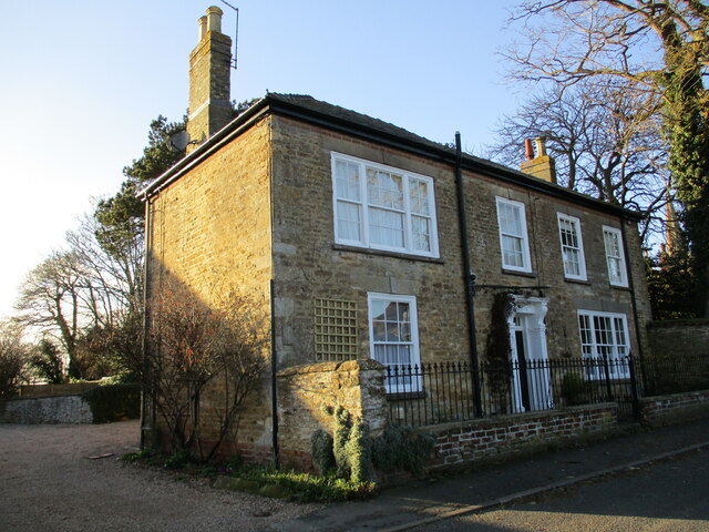
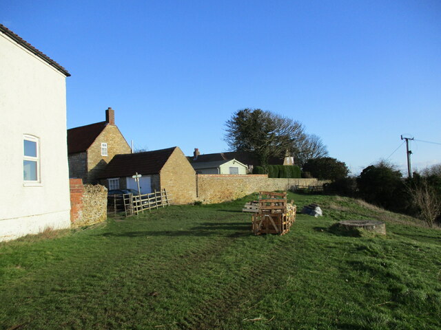
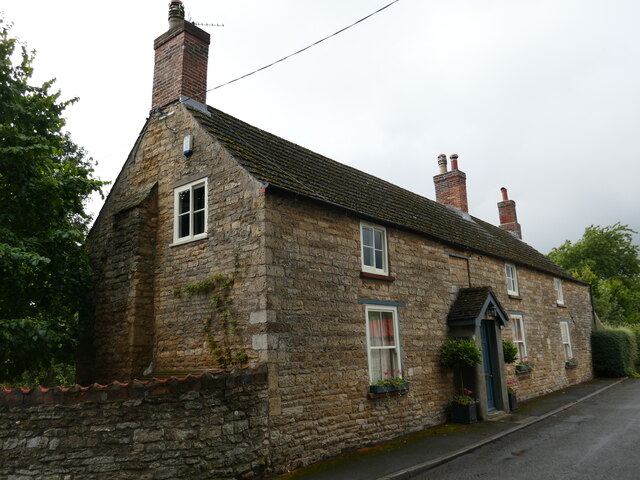
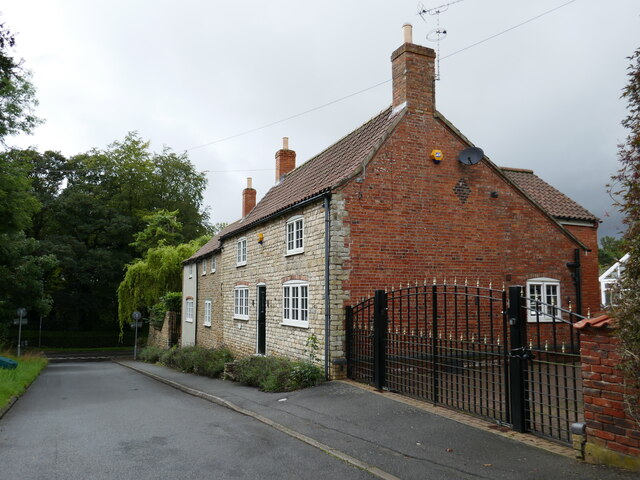
Coleby is a small village located in the North Kesteven district of Lincolnshire, England. Situated approximately 8 miles south of Lincoln, it is a rural community with a population of around 500 people. The village is surrounded by picturesque countryside, offering residents and visitors a tranquil setting.
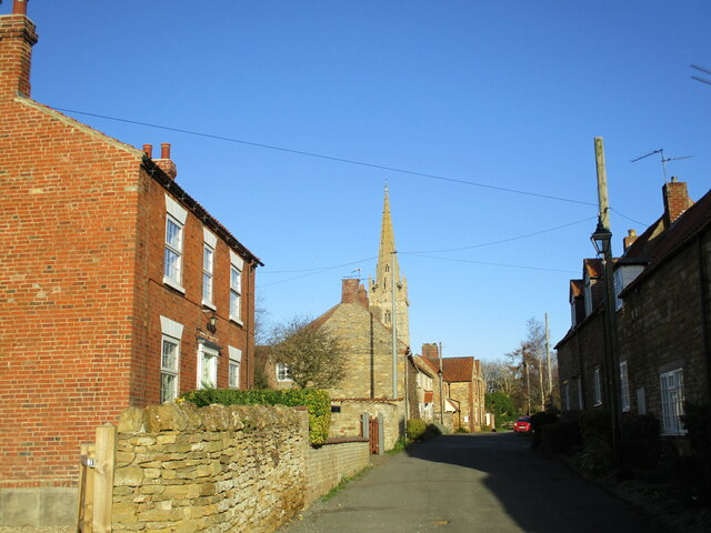
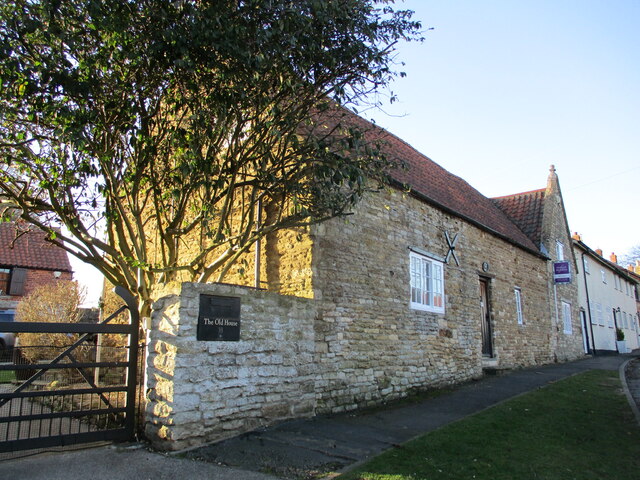
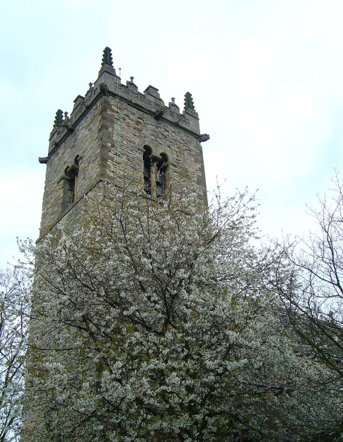
The history of Coleby dates back to the Domesday Book, where it was recorded as "Colebi." The village has retained much of its historic charm, with several ancient buildings still standing. The Church of St. Michael and All Angels, a Grade I listed building, is a prominent feature in the village. Dating back to the 13th century, the church showcases beautiful architecture and is a popular destination for tourists interested in historical and religious sites.
In terms of amenities, Coleby offers a range of facilities to cater to its residents' needs. These include a village hall, a primary school, a pub, and a local shop. The village hall serves as a hub for community activities and events, providing a space for social gatherings, clubs, and meetings.
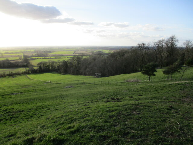
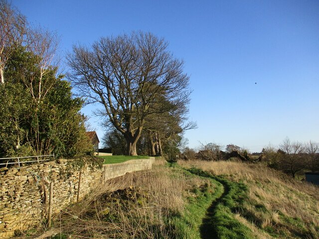
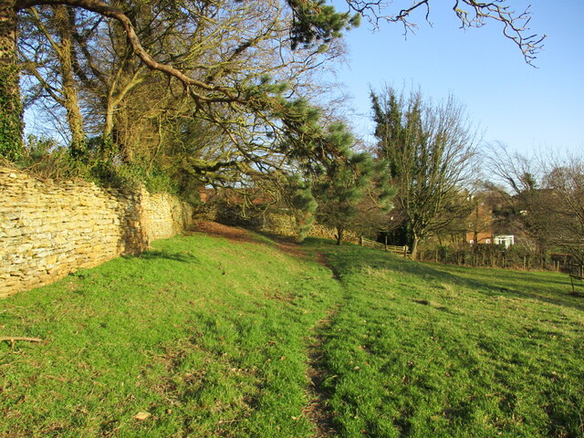
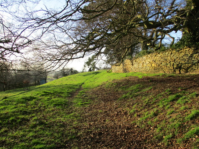
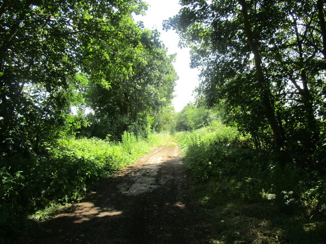
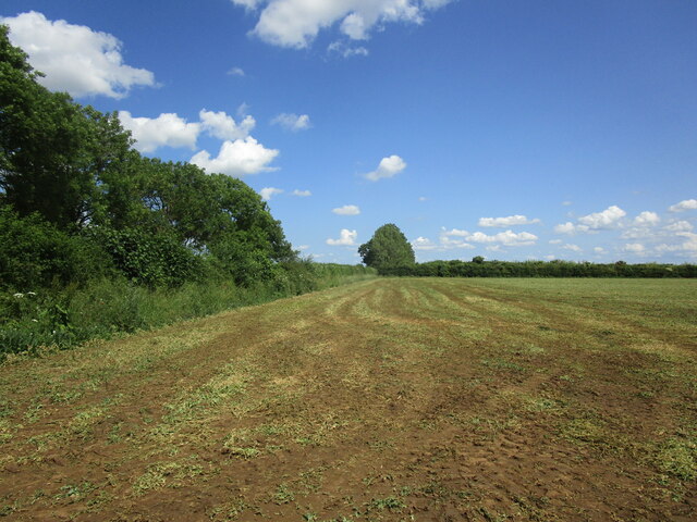
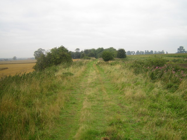
Nature enthusiasts can enjoy the surrounding countryside, which offers opportunities for walking, cycling, and exploring the local flora and fauna. The village is also within close proximity to the Lincolnshire Wolds, an Area of Outstanding Natural Beauty, providing further outdoor recreational options.
Overall, Coleby is a charming village that combines its rich history with a peaceful rural setting, making it an attractive place to reside or visit for those seeking a tranquil escape.
If you have any feedback on the listing, please let us know in the comments section below.
Coleby Images
Images are sourced within 2km of 53.13393/-0.54197175 or Grid Reference SK9760. Thanks to Geograph Open Source API. All images are credited.


Coleby is located at Grid Ref: SK9760 (Lat: 53.13393, Lng: -0.54197175)
Division: Parts of Kesteven
Administrative County: Lincolnshire
District: North Kesteven
Police Authority: Lincolnshire
What 3 Words
///squabbles.brightly.starters. Near Navenby, Lincolnshire
Related Wikis

Coleby, North Kesteven
Coleby is a village and civil parish in the North Kesteven district of Lincolnshire, England. It is situated on the A607, and approximately 6 miles (10...

Boothby Graffoe
Boothby Graffoe is a village and civil parish in the North Kesteven district of Lincolnshire, England. The population of the civil parish at the 2011 census...
Harmston
Harmston is a village and civil parish in the North Kesteven district of Lincolnshire, England. It is situated just west off the A607, and 5 miles (8 km...

North Kesteven Rural District
North Kesteven was a rural district in Kesteven, Lincolnshire from 1931 to 1974. It was created in 1931 under a County Review Order, and was formed from...
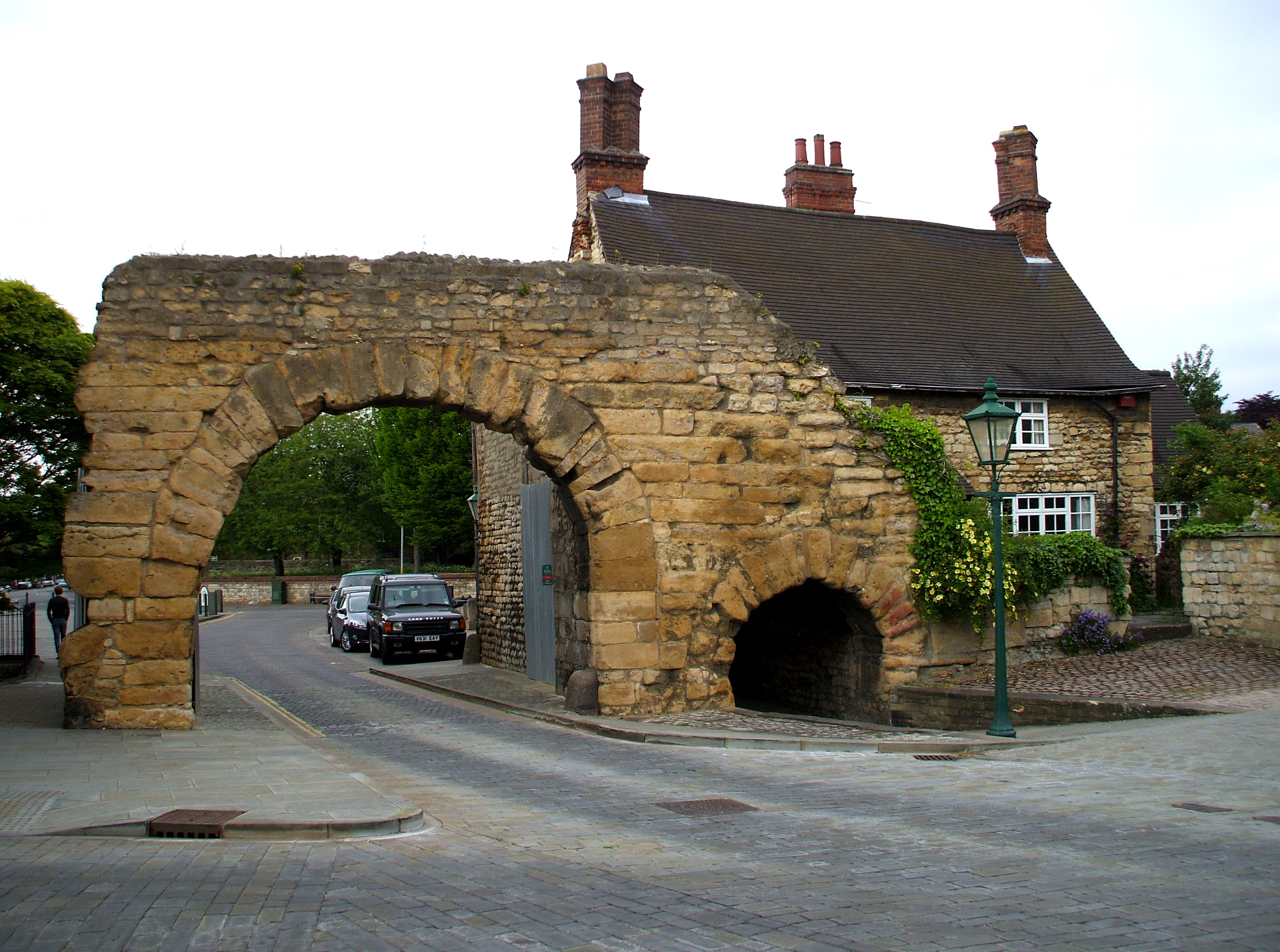
Ermine Street
Ermine Street is a major Roman road in England that ran from London (Londinium) to Lincoln (Lindum Colonia) and York (Eboracum). The Old English name...
Harmston railway station
Harmston railway station was a station in Harmston, Lincolnshire on the Grantham and Lincoln railway line. It closed in 1962 but the line remained open...
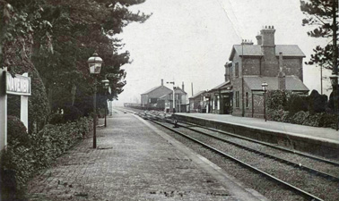
Navenby railway station
Navenby railway station was a railway station in Navenby, Lincolnshire on the Grantham and Lincoln railway line. The station closed for passengers in...

Somerton Castle
Somerton Castle is located approximately 1 mile (1.6 km) west of the village of Boothby Graffoe in Lincolnshire, England and to the south of the city of...
Nearby Amenities
Located within 500m of 53.13393,-0.54197175Have you been to Coleby?
Leave your review of Coleby below (or comments, questions and feedback).