Appledore

Settlement in Devon Mid Devon

England

Appledore

Uffculme : The Square Looking towards a tree in the Square.
Uffculme : The Square Credit: Lewis Clarke

Appledore is a picturesque village located in the Torridge district of Devon, England. Situated on the estuary of the River Torridge, it is a quaint fishing village with a rich maritime history. Appledore is known for its narrow, winding streets, charming cottages, and traditional fishing boats that line the quay.

The village has a population of around 2,500 residents and is a popular tourist destination, attracting visitors with its scenic beauty and unique character. The maritime heritage of Appledore is evident in its shipbuilding and fishing industries, which have been an integral part of the village's identity for centuries. Many of the local families have been involved in these industries for generations.

In addition to its maritime history, Appledore offers a range of attractions and activities for visitors. The village is home to several art galleries, showcasing the work of local artists, and hosts an annual Appledore Book Festival, attracting renowned authors and literary enthusiasts.

Outdoor enthusiasts can enjoy walking along the peaceful estuary, exploring the nearby sand dunes at Northam Burrows Country Park, or taking a boat trip to the nearby Lundy Island, a haven for wildlife and marine life.

Appledore also boasts a variety of charming pubs, cafes, and restaurants, serving local seafood and traditional English cuisine. The village has a warm and welcoming atmosphere, making it an ideal destination for those looking to experience the charm of a traditional English fishing village.

If you have any feedback on the listing, please let us know in the comments section below.
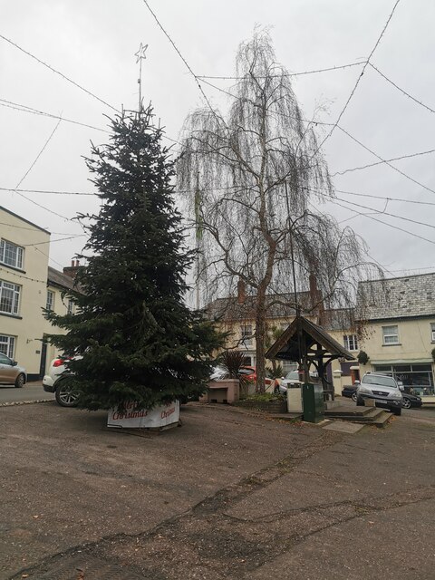
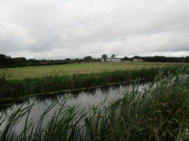
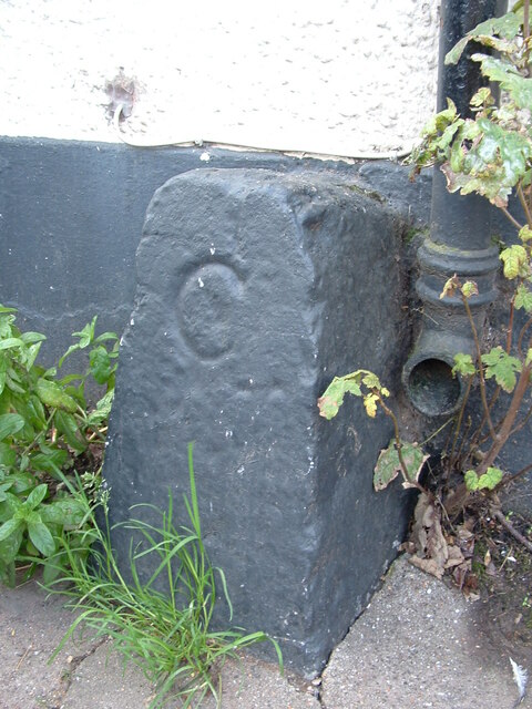
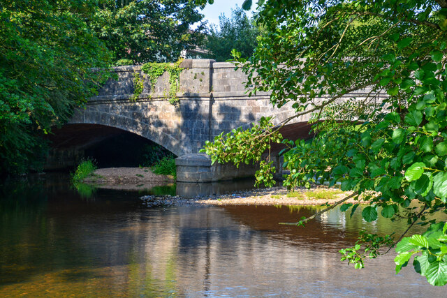
Appledore Images

Images are sourced within 2km of 50.922778/-3.328838 or Grid Reference ST0614. Thanks to Geograph Open Source API. All images are credited.

Uffculme : The Square Looking towards a tree in the Square.
Uffculme : The Square
Looking towards a tree in the Square.
Westcott Bridge, Grand Western Canal
Grand Western Canal and Ley Barn
Old Bridge Marker on Bridge Street, Uffculme County Bridge Marker on the southwest side of Bridge Street, against the front wall of No.17. Uffculme parish. Inscribed C to mark the extent of roadway adjoining Uffculme Bridge that the County was obliged to maintain.

Milestone Society National ID: DV_UCAH01br
Old Bridge Marker on Bridge Street, Uffculme
County Bridge Marker on the southwest side of Bridge Street, against the front wall of No.17. Uffculme parish. Inscribed C to mark the extent of roadway adjoining Uffculme Bridge that the County was obliged to maintain. Milestone Society National ID: DV_UCAH01br
Uffculme : River Culm Looking across the River Culm.
Uffculme : River Culm
Looking across the River Culm.
Uffculme : Commercial Road An event to launch the town's heritage trail takes place.
Uffculme : Commercial Road
An event to launch the town's heritage trail takes place.
Uffculme : Heritage Sign A heritage sign in Uffculme.
Uffculme : Heritage Sign
A heritage sign in Uffculme.
Uffculme : Commercial Road An event to launch the village heritage trail takes place.
Uffculme : Commercial Road
An event to launch the village heritage trail takes place.
Burlescombe : The A38 Traffic on the A38.
Burlescombe : The A38
Traffic on the A38.
Burlescombe : The A38 Looking along the A38.
Burlescombe : The A38
Looking along the A38.
Ornament at Waterloo Cross Presumably this horse knows the way as the boy who should be holding the reins seems lost in dreams. This is outside the Old Well Garden Centre; the A38 is on the left.
Ornament at Waterloo Cross
Presumably this horse knows the way as the boy who should be holding the reins seems lost in dreams. This is outside the Old Well Garden Centre; the A38 is on the left.
Northbound M5 near to Appledore The M5 runs 163 miles from a junction with the M6 at West Bromwich near Birmingham to Exeter in Devon. Constructed between 1962 & 1977. It links the North and Midlands with the South west. <span class="nowrap"><a title="http://en.wikipedia.org/wiki/M5_motorway" rel="nofollow ugc noopener" href="http://en.wikipedia.org/wiki/M5_motorway">Link</a><img style="margin-left:2px;" alt="External link" title="External link - shift click to open in new window" src="https://s1.geograph.org.uk/img/external.png" width="10" height="10"/></span>
Northbound M5 near to Appledore
The M5 runs 163 miles from a junction with the M6 at West Bromwich near Birmingham to Exeter in Devon. Constructed between 1962 & 1977. It links the North and Midlands with the South west. LinkExternal link
Grand Western Canal Canal at Westcott Bridge, near Ayshford.
Grand Western Canal
Canal at Westcott Bridge, near Ayshford.
Ley Barn Small farm buildings by the Grand Western Canal.
Ley Barn
Small farm buildings by the Grand Western Canal.
Grand Western Canal Sluice gate on the canal.
Grand Western Canal
Sluice gate on the canal.
The A38 with a sign for Aggregate Industries, Uffculme Works
The A38 heading north-east uphill
The A38 at Southdown Cross, heading north-east
Show me another place!

Appledore is located at Grid Ref: ST0614 (Lat: 50.922778, Lng: -3.328838)

Administrative County: Devon

District: Mid Devon

Police Authority: Devon and Cornwall

What 3 Words

///driving.gallons.fools. Near Uffculme, Devon

Related Wikis

Appledore, Mid Devon

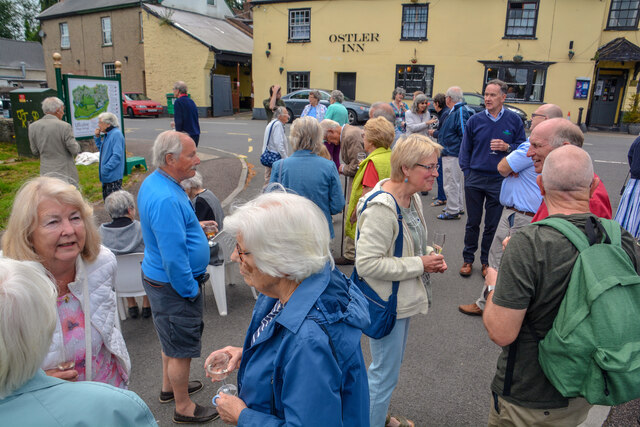
Appledore is a small village near Uffculme in Devon, England, about 7 miles (11 kilometres) east of Tiverton.Appledore was listed in the Domesday Book...

Uffculme School

Uffculme School is a mixed secondary school located in Uffculme in the English county of Devon.Previously a community school administered by Devon County...
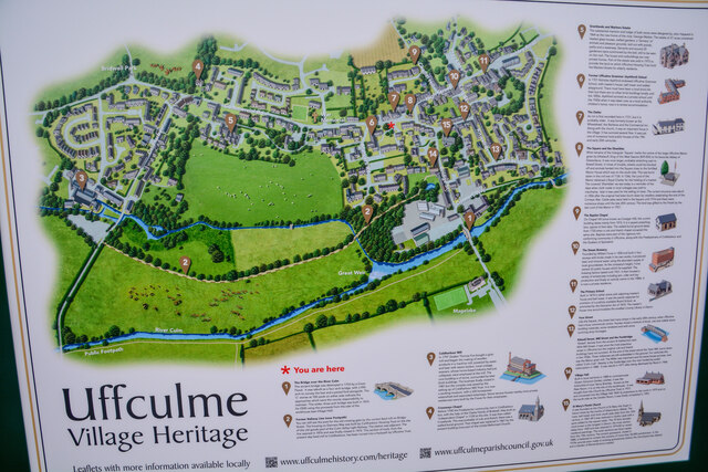
Uffculme

Uffculme (, UF-kəm) is a village and civil parish located in the Mid Devon district, of Devon, England. Situated in the Blackdown Hills on the B3440, close...

Church of St Mary the Virgin, Uffculme

The Church of St Mary the Virgin is the main Church of England parish church for the village of Uffculme, Devon, England. First mentioned in a charter...

Uffculme railway station

Uffculme railway station was the station closest to the centre of the Culm Valley Light Railway in Devon and as such contained the passing loop. The line...

Ayshford Chapel

Ayshford Chapel is a former private chapel in the village of Ayshford, in the parish of Burlescombe, Devon, England. It is recorded in the National Heritage...

Ayshford

Ayshford is a hamlet and historic manor in the parish of Burlescombe in the district of Mid-Devon, Devon, England. It was anciently the seat of the de...

Tiverton Parkway railway station

Tiverton Parkway railway station is on the Bristol to Exeter line in Devon, England. Despite being named after the town of Tiverton it is actually located...

Nearby Amenities

Located within 500m of 50.922778,-3.328838
Appledore
Place: village
Lat/Long: 50.921602/-3.3291688
Post Box
Lat/Long: 50.9223665/-3.3271096
Shop: car_repair
Lat/Long: 50.9229809/-3.3254466
Give Way
Direction: backward
Lat/Long: 50.9207106/-3.3303595
Give Way
Direction: backward
Lat/Long: 50.9208806/-3.3302066
Waterhouse Fayre
Tourism: attraction
Lat/Long: 50.9228444/-3.3256724
Down Farm
Place: farm
Lat/Long: 50.9200943/-3.3295628
Give Way
Direction: forward
Lat/Long: 50.9232832/-3.327928
The data included in this document is from www.openstreetmap.org. The data is made available under ODbL.

Have you been to Appledore?

Leave your review of Appledore below (or comments, questions and feedback).