Brockhall Coppice

Wood, Forest in Herefordshire

England

Brockhall Coppice

Apples in the walled garden Herefordshire's famous product looking good in the newly-restored walled garden at The Weir, a National Trust property.
Apples in the walled garden Credit: Stephen McKay

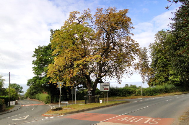
Brockhall Coppice is a picturesque woodland located in Herefordshire, England. Covering an area of approximately 50 hectares, this ancient forest is a haven for nature enthusiasts and offers a peaceful retreat for visitors.

The coppice is predominantly made up of deciduous trees, including oak, ash, and beech, which provide a diverse habitat for a wide range of wildlife. The forest floor is covered with a lush carpet of wildflowers, ferns, and mosses, creating a vibrant and enchanting atmosphere.

Visitors to Brockhall Coppice can enjoy a variety of activities. Numerous walking trails wind through the woodland, allowing visitors to explore the forest at their own pace. The trails lead to secluded clearings and viewpoints, providing stunning vistas of the surrounding countryside.

Birdwatchers will be delighted by the abundance of avian species that call the coppice home. From woodpeckers and owls to rare species like the lesser spotted woodpecker, there is always something fascinating to spot in the treetops.

In addition to its natural beauty, Brockhall Coppice also has a rich cultural heritage. Historically, the woodland was used for timber production and charcoal making. Remnants of old charcoal kilns can still be found, offering a glimpse into the area's industrial past.

Overall, Brockhall Coppice is a hidden gem in Herefordshire, offering visitors a tranquil and immersive experience in a stunning woodland setting. Whether you're seeking a peaceful walk, wildlife spotting, or a glimpse into the region's history, this ancient forest has something for everyone to enjoy.

If you have any feedback on the listing, please let us know in the comments section below.

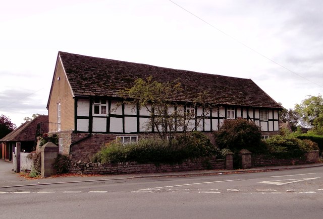
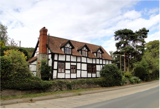
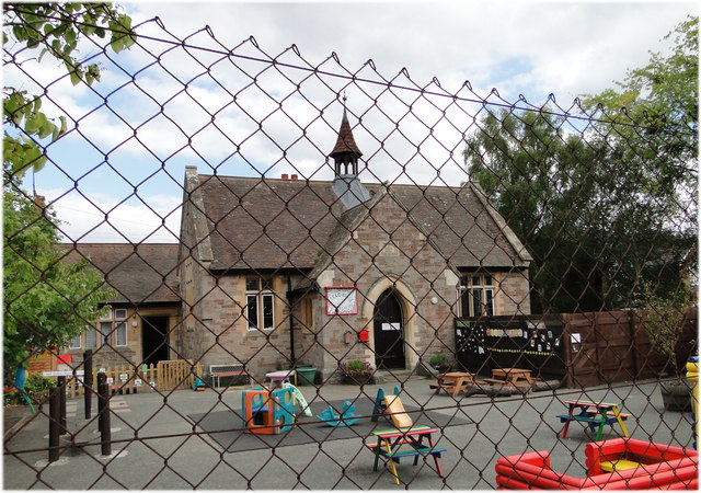
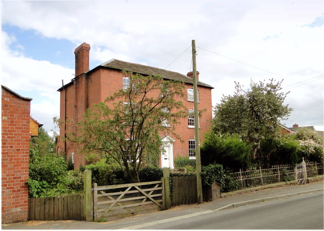
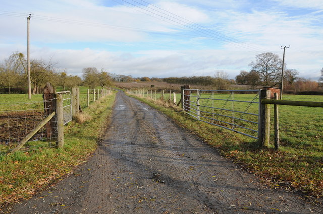
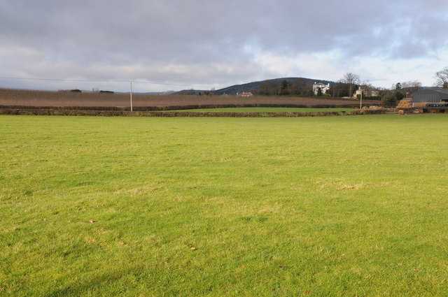
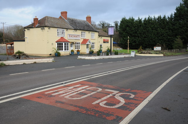
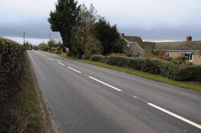
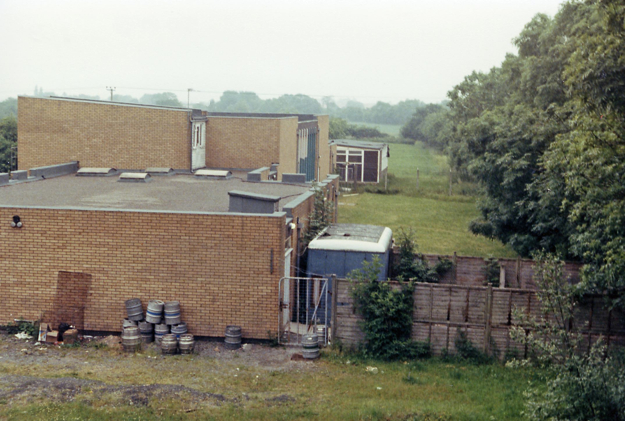
Brockhall Coppice Images

Images are sourced within 2km of 52.072635/-2.7912339 or Grid Reference SO4541. Thanks to Geograph Open Source API. All images are credited.

Apples in the walled garden Herefordshire's famous product looking good in the newly-restored walled garden at The Weir, a National Trust property.
Apples in the walled garden
Herefordshire's famous product looking good in the newly-restored walled garden at The Weir, a National Trust property.
Scarecrow in the walled garden A happy looking scarecrow protects the vegetables in the newly-restored walled garden at The Weir, a National Trust property.
Scarecrow in the walled garden
A happy looking scarecrow protects the vegetables in the newly-restored walled garden at The Weir, a National Trust property.
St Mary Magdalene Church, Stretton Sugwas Original Norman church, was removed to new site and rebuilt in 19th Century. The oak beams of the tower are  rotting and in the  process of being restored. The  church contains a fine medieval carving depicting Sampson and a lion.
St Mary Magdalene Church, Stretton Sugwas
Original Norman church, was removed to new site and rebuilt in 19th Century. The oak beams of the tower are rotting and in the process of being restored. The church contains a fine medieval carving depicting Sampson and a lion.
The Samson Tympanum, Stretton Sugwas Church The greatest of the treasures in the  church is the Samson Tympanum, as you walk in at the South door it faces you above the door to the belfry. It is a semi-circular carving of breath taking beauty, depicting Samson seated astride a lion and forcing its jaws open with bare hands. It is a brilliant example of the work of the great mediaeval sculptor known as the Chief Master , working under the patronage of Sir Ralph de Baskerville.
The Samson Tympanum, Stretton Sugwas Church
The greatest of the treasures in the church is the Samson Tympanum, as you walk in at the South door it faces you above the door to the belfry. It is a semi-circular carving of breath taking beauty, depicting Samson seated astride a lion and forcing its jaws open with bare hands. It is a brilliant example of the work of the great mediaeval sculptor known as the Chief Master , working under the patronage of Sir Ralph de Baskerville.
The Organ at Stretton Sugwas Church Nicholson, pre 1970.
2 Manual and Pedals, 18 speaking stops.
The Organ at Stretton Sugwas Church
Nicholson, pre 1970. 2 Manual and Pedals, 18 speaking stops.
Wooden Organ pipes, Stretton Sugwas Church Tuning is achieved with the little rods at the top of the pipe.
Wooden Organ pipes, Stretton Sugwas Church
Tuning is achieved with the little rods at the top of the pipe.
The Tree, Credenhill An important reference point in this large village. It features in bus timetables, it carries notices about local events and birthday announcements. The station at the end of Station Road is no longer there - it closed in 1963.
The Tree, Credenhill
An important reference point in this large village. It features in bus timetables, it carries notices about local events and birthday announcements. The station at the end of Station Road is no longer there - it closed in 1963.
St Mary Magdalene, Stretton Sugwas Seen across the fields and through the wires.
St Mary Magdalene, Stretton Sugwas
Seen across the fields and through the wires.
Cross Farmhouse, Credenhill Listed former farmhouse at the entrance to the village, the junction with the main road at the tree.
Cross Farmhouse, Credenhill
Listed former farmhouse at the entrance to the village, the junction with the main road at the tree.
Cross Cottage, Credenhill Delightful listed timber framed cottage at the end of the village, near the church
Cross Cottage, Credenhill
Delightful listed timber framed cottage at the end of the village, near the church
Kindergarten, Credenhill Behind the wire, housed in the former village primary school. The 'new' village school is now behind the old building.
Kindergarten, Credenhill
Behind the wire, housed in the former village primary school. The 'new' village school is now behind the old building.
Town Well, Credenhill Elegant listed late 18th century house in Station Road, the main street. The house has long outlived the station and looks fit for a few more centuries.
Town Well, Credenhill
Elegant listed late 18th century house in Station Road, the main street. The house has long outlived the station and looks fit for a few more centuries.
Farm drive at Upper Breinton
Farmland at Swainshill Farmland at Swainshill to the south of the A438.
Farmland at Swainshill
Farmland at Swainshill to the south of the A438.
Car park at Wyevale Garden Centre
Indian restaurant at Stretton Sugwas Basmati an Indian restaurant on the A438 to the west of Hereford.  Previously this was a public house, the Kite's Nest, I think.
Indian restaurant at Stretton Sugwas
Basmati an Indian restaurant on the A438 to the west of Hereford. Previously this was a public house, the Kite's Nest, I think.
Track at Stretton Sugwas The Wye Valley Walk follows this track at Stretton Sugwas.
Track at Stretton Sugwas
The Wye Valley Walk follows this track at Stretton Sugwas.
The A438 at Sugwas Pool
Show me another place!

Brockhall Coppice is located at Grid Ref: SO4541 (Lat: 52.072635, Lng: -2.7912339)

Unitary Authority: County of Herefordshire

Police Authority: West Mercia

What 3 Words

///miss.stunt.regarding. Near Credenhill, Herefordshire

Related Wikis

Church of St Mary Magdalene, Stretton Sugwas

The Church of St Mary Magdalene is an Anglican church in the village of Stretton Sugwas, in Herefordshire, England. The church is in the Burghill Benefice...

Stretton Sugwas

Stretton Sugwas ( STRET-ən SUG-əs) is a village and civil parish in Herefordshire, England, about 4 miles (6.4 km) northwest of Hereford. The parish also...

Killing House

The Killing House, a shoot house, is the Special Air Service's prime training facility for hostage rescue operations. The point of the Killing House is...

RAF Credenhill

RAF Credenhill, also known as RAF Hereford, was a non-flying station of the Royal Air Force situated in the village of Credenhill near Hereford, England...

Stirling Lines

Stirling Lines is a British Army garrison in Credenhill, Herefordshire; the headquarters of the 22 Special Air Service Regiment (22 SAS) and the Special...

Upper Breinton

Upper Breinton is a village in Herefordshire, England. It is located in the civil parish of Breinton. == References == The geographic coordinates are from...

Credenhill railway station

Credenhill railway station first opened on 30 June 1863 and finally closed by the Western Region of British Railways on 31 December 1962. The site is now...

Credenhill

Credenhill is a village and civil parish in Herefordshire, England. The population of this civil parish taken at the 2011 Census was 2,271. == History... ==

Nearby Amenities

Located within 500m of 52.072635,-2.7912339
Post Office
Naptan AtcoCode: 2090A086800
Naptan Bearing: SE
Naptan BusStopType: CUS
Naptan CommonName: Post Office
Naptan Indicator: adj Kite's Nest PH
Naptan Landmark: Kite's Nest Inn
Naptan NaptanCode: heradjpw
Naptan Street: A438
Naptan Verified: no
Source: naptan_import
Lat/Long: 52.0728432/-2.7982191
Bus Stop
Swainshill
Naptan AtcoCode: 2090A19761
Naptan Bearing: W
Naptan CommonName: Swainshill
Naptan Indicator: opp A4103 Stretton Sugwas Turn
Naptan Landmark: opp T J Crump. Oakwrights
Naptan NaptanCode: heramjmp
Naptan Street: A438
Naptan Verified: no
Source: naptan_import
Lat/Long: 52.0723529/-2.7884971
Bus Stop
Swainshill
Naptan AtcoCode: 2090A19763
Naptan Bearing: E
Naptan CommonName: Swainshill
Naptan Indicator: adj Telephone Box
Naptan Landmark: Telephone Box
Naptan NaptanCode: heramjmt
Naptan Street: A438
Naptan Verified: no
Source: naptan_import
Lat/Long: 52.0726598/-2.7865979
Bus Stop
Village Hall
Naptan AtcoCode: 2090A20263
Naptan Bearing: SW
Naptan BusStopType: CUS
Naptan CommonName: Village Hall
Naptan Indicator: opp
Naptan Landmark: Church
Naptan NaptanCode: herapdjt
Naptan Street: A4103
Naptan Verified: no
Source: naptan_import
Lat/Long: 52.0740583/-2.7904367
Village Hall
Naptan AtcoCode: 2090A20266
Naptan Bearing: NE
Naptan BusStopType: CUS
Naptan CommonName: Village Hall
Naptan Indicator: adj
Naptan Landmark: Church
Naptan NaptanCode: herapdjw
Naptan Street: A4103
Naptan Verified: no
Source: naptan_import
Lat/Long: 52.0740615/-2.7906305
Post Office
Naptan AtcoCode: 2090A18687
Naptan Bearing: W
Naptan BusStopType: CUS
Naptan CommonName: Post Office
Naptan Indicator: opp Kite's Nest PH
Naptan Landmark: N/K
Naptan NaptanCode: herajamp
Naptan Street: N/K
Naptan Verified: no
Source: naptan_import
Lat/Long: 52.0726836/-2.7982716
Memorial Cross
Historic: memorial
Lat/Long: 52.0722476/-2.7906159
Post Box
Lat/Long: 52.07264/-2.7867883
Post Box
Mapillary: 2922382674713320
Source Position: Mapillary 2020-10-15
Survey Date: 2020-10-15
Lat/Long: 52.0724867/-2.7973804
The data included in this document is from www.openstreetmap.org. The data is made available under ODbL.

Have you been to Brockhall Coppice?

Leave your review of Brockhall Coppice below (or comments, questions and feedback).