Hop Yard Wood
Wood, Forest in Lancashire
England
Hop Yard Wood

Hop Yard Wood is a picturesque woodland located in the county of Lancashire, England. Covering an area of approximately 50 acres, this enchanting forest is nestled in the heart of the countryside, surrounded by rolling hills and meandering streams.
The wood gets its name from its historical use as a hop yard, where hops were cultivated for the local brewing industry. Although the hop-growing tradition has long ceased, the area retains its rustic charm and is now a popular destination for nature enthusiasts and walkers alike.
Hop Yard Wood boasts a diverse range of flora and fauna, with native trees such as oak, ash, and birch dominating the landscape. The forest floor is adorned with a carpet of bluebells in springtime, creating a breathtaking spectacle. Wildlife thrives in the woodland, offering a sanctuary for birds, squirrels, and various species of butterflies.
Tranquility and serenity are hallmarks of this woodland, making it an ideal retreat for those seeking solace in nature. Numerous footpaths and trails crisscross the area, providing ample opportunities for exploration and discovery. Visitors can wander through the leafy glades, listen to the soothing sounds of birdsong, and breathe in the fresh, earthy scent of the forest.
Hop Yard Wood also offers educational opportunities, with guided walks and workshops available to learn about the local ecosystem and conservation efforts. The wood is open to the public year-round, with free admission and ample parking facilities. Whether you are a nature lover, a hiker, or simply looking for a peaceful escape, Hop Yard Wood is a hidden gem waiting to be discovered in Lancashire.
If you have any feedback on the listing, please let us know in the comments section below.
Hop Yard Wood Images
Images are sourced within 2km of 53.349339/-2.8146971 or Grid Reference SJ4583. Thanks to Geograph Open Source API. All images are credited.


Hop Yard Wood is located at Grid Ref: SJ4583 (Lat: 53.349339, Lng: -2.8146971)
Unitary Authority: Halton
Police Authority: Cheshire
What 3 Words
///plankton.button.catapult. Near Hale, Cheshire
Nearby Locations
Related Wikis
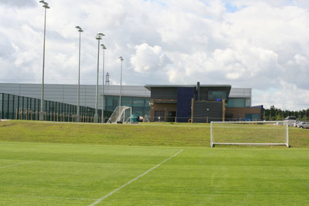
Finch Farm
Finch Farm is the training ground for Everton F.C., in Halewood, in the Metropolitan Borough of Knowsley, Merseyside within the Liverpool City Region....

Jaguar Land Rover Halewood
Jaguar Land Rover Halewood is a Jaguar Land Rover factory plant in Halewood, Merseyside, England, and forms the major part of the factory complex in Halewood...
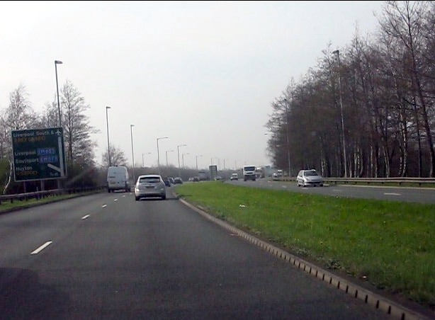
A562 road
The A562 is a road in England which runs from Liverpool to Warrington. == Route == === Parliament Street === At Liverpool, the road is known at first as...

St Ambrose's Church, Speke
St Ambrose's Church is a Roman Catholic parish church in Heathgate Avenue, Speke, Liverpool, Merseyside, England. It is an active parish church in the...
Nearby Amenities
Located within 500m of 53.349339,-2.8146971Have you been to Hop Yard Wood?
Leave your review of Hop Yard Wood below (or comments, questions and feedback).