Blackburn Wood

Wood, Forest in Cumberland Carlisle

England

Blackburn Wood

Tree and hedge enclosed minor road near to Haithwaite Looking south-westward.
Tree and hedge enclosed minor road near to Haithwaite Credit: Peter Wood

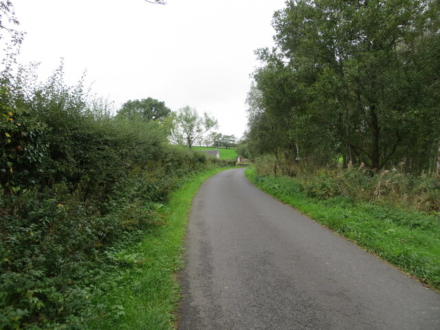
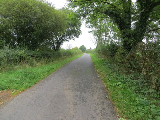
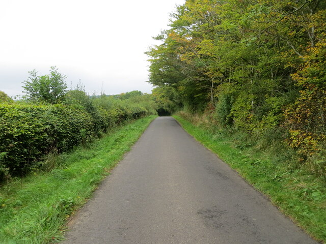
Blackburn Wood is a sprawling forest located in the county of Cumberland, England. Covering an area of approximately 500 acres, it is renowned for its breathtaking natural beauty and abundant wildlife. The wood is situated in a remote and tranquil area, making it a popular destination for nature enthusiasts and hikers seeking a peaceful retreat.

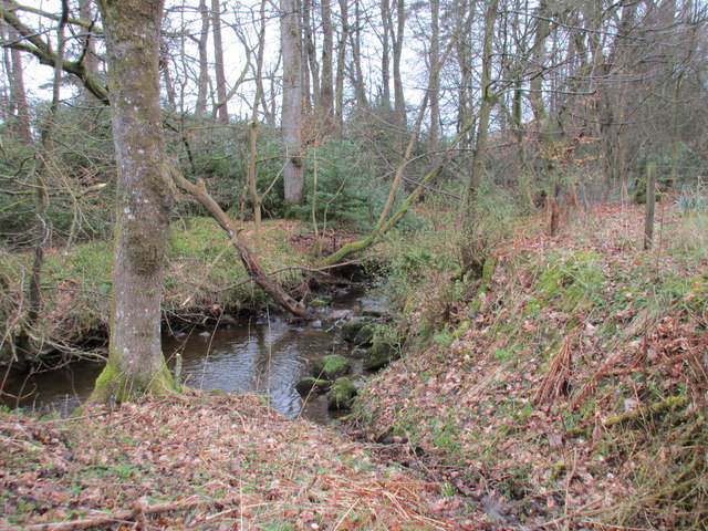
The forest is characterized by its dense canopy of trees, predominantly composed of native species such as oak, beech, and ash. These towering giants provide a haven for a wide variety of flora and fauna, creating a rich and diverse ecosystem. Visitors can expect to encounter numerous species of birds, mammals, and insects as they explore the wood's many trails and pathways.

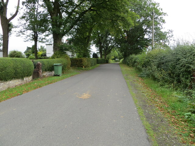
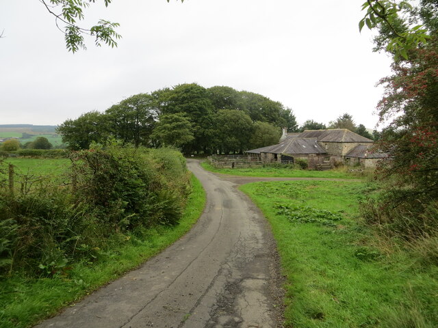
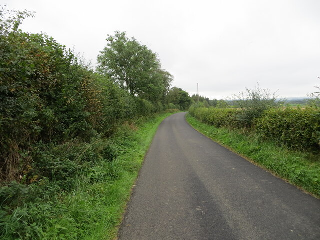
Blackburn Wood is crisscrossed by a network of well-maintained trails, allowing visitors to easily navigate the area and discover its hidden gems. These trails offer stunning views of the surrounding countryside and provide opportunities for picnicking and nature photography.

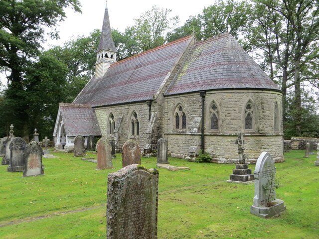
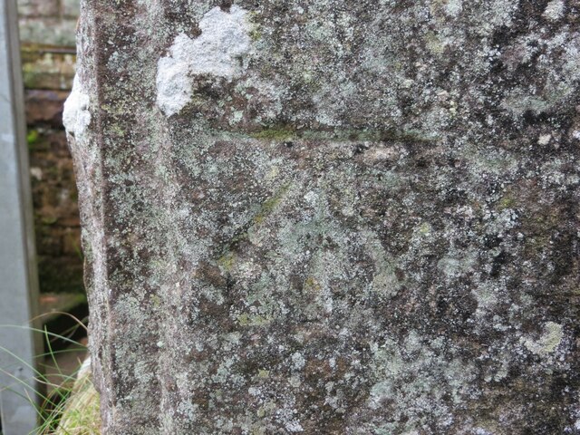
In addition to its natural beauty, Blackburn Wood also holds historical significance. The forest has ancient roots, with evidence of human activity dating back centuries. Remnants of old settlements, including charcoal pits and boundary stones, can still be found within its boundaries, providing insight into the area's past.

Overall, Blackburn Wood is a captivating destination for those seeking to immerse themselves in nature and experience the tranquility of the English countryside. Its lush forests, diverse wildlife, and historical charm make it a must-visit for outdoor enthusiasts and history buffs alike.

If you have any feedback on the listing, please let us know in the comments section below.

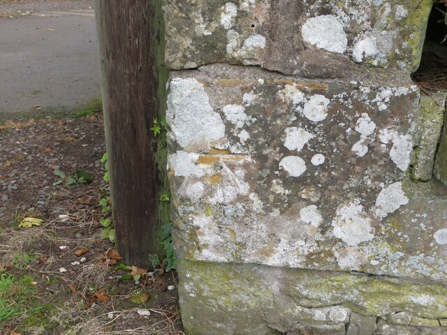
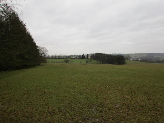
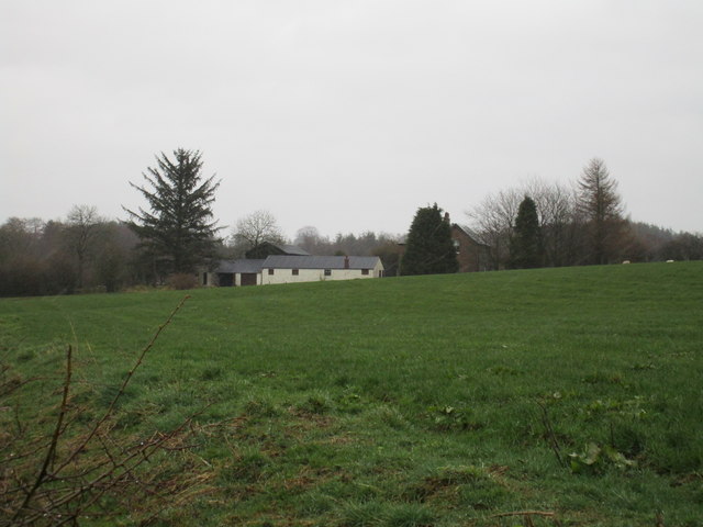
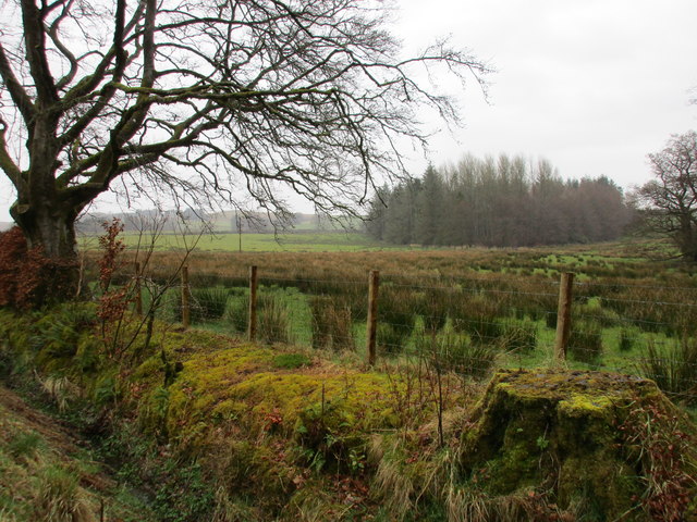
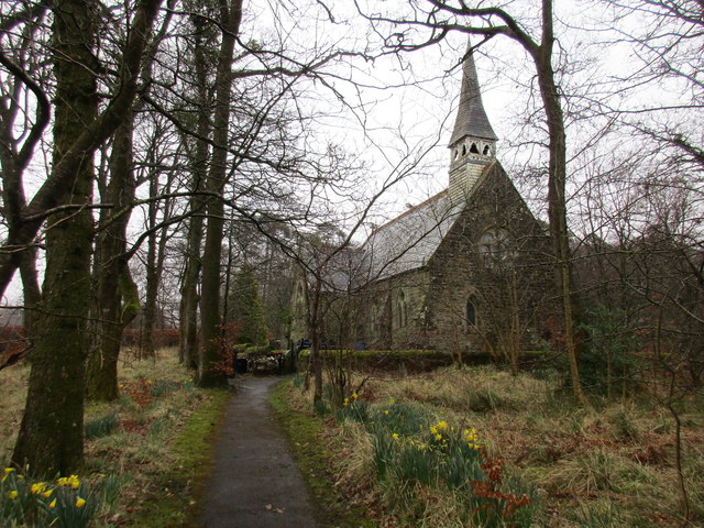
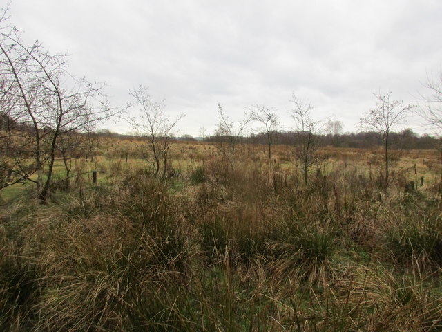
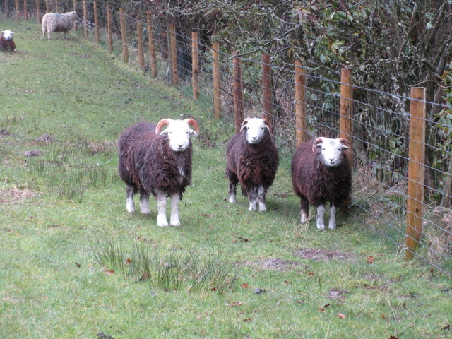
Blackburn Wood Images

Images are sourced within 2km of 55.094804/-2.8604549 or Grid Reference NY4578. Thanks to Geograph Open Source API. All images are credited.

Tree and hedge enclosed minor road near to Haithwaite Looking south-westward.
Tree and hedge enclosed minor road near to Haithwaite
Looking south-westward.
Tree and hedge enclosed minor road near to Haithwaite Looking north-eastward.
Tree and hedge enclosed minor road near to Haithwaite
Looking north-eastward.
Tree and hedge enclosed minor road at Hunter Knowe Looking north-westward.
Tree and hedge enclosed minor road at Hunter Knowe
Looking north-westward.
The Church of St Nicholas and part of its Burial Ground, Nicholforest Viewed from the south-east.
The Church of St Nicholas and part of its Burial Ground, Nicholforest
Viewed from the south-east.
Minor road at Stoneygate Looking north-eastward.
Minor road at Stoneygate
Looking north-eastward.
Minor road at Nookfoot Farm Looking north-westward.
Minor road at Nookfoot Farm
Looking north-westward.
Hedge-lined minor road near to Nookgate Looking south-westward.
Hedge-lined minor road near to Nookgate
Looking south-westward.
Junction of minor roads at Nookgate Looking northward.
Junction of minor roads at Nookgate
Looking northward.
Ordnance Survey Cut Mark This mark can be found on the wall of Nicholforest Parish Church - St Nicholas.
The recorded details give a height of 120.8471 metres above sea level.
For ore details see : <span class="nowrap"><a title="https://www.bench-marks.org.uk/bm164655" rel="nofollow ugc noopener" href="https://www.bench-marks.org.uk/bm164655">Link</a><img style="margin-left:2px;" alt="External link" title="External link - shift click to open in new window" src="https://s1.geograph.org.uk/img/external.png" width="10" height="10"/></span>
Ordnance Survey Cut Mark
This mark can be found on the wall of Nicholforest Parish Church - St Nicholas. The recorded details give a height of 120.8471 metres above sea level. For ore details see : LinkExternal link
Ordnance Survey Cut Mark This mark can be found on the corner of a roadside wall at Stonygate.
The recorded details give a height of 124.142 metres above sea level.
For more details see : <span class="nowrap"><a title="https://www.bench-marks.org.uk/bm164656" rel="nofollow ugc noopener" href="https://www.bench-marks.org.uk/bm164656">Link</a><img style="margin-left:2px;" alt="External link" title="External link - shift click to open in new window" src="https://s1.geograph.org.uk/img/external.png" width="10" height="10"/></span>
Ordnance Survey Cut Mark
This mark can be found on the corner of a roadside wall at Stonygate. The recorded details give a height of 124.142 metres above sea level. For more details see : LinkExternal link
Ordnance Survey Cut Mark This mark can be found on the wall of Nookhead Cottage, Nookfoot.
The mark has a recorded height of 521.2 feet above sea level.
For more details see : <span class="nowrap"><a title="https://www.bench-marks.org.uk/bm164657" rel="nofollow ugc noopener" href="https://www.bench-marks.org.uk/bm164657">Link</a><img style="margin-left:2px;" alt="External link" title="External link - shift click to open in new window" src="https://s1.geograph.org.uk/img/external.png" width="10" height="10"/></span>
Ordnance Survey Cut Mark
This mark can be found on the wall of Nookhead Cottage, Nookfoot. The mark has a recorded height of 521.2 feet above sea level. For more details see : LinkExternal link
View towards Haithwaite The hills in the distance are across the border in Scotland.
View towards Haithwaite
The hills in the distance are across the border in Scotland.
Watleyhurst, Nicholforest
View towards Birney Wood On a dank day.
View towards Birney Wood
On a dank day.
Church of St. Nicholas, Nicholforest The church designed by Alexander Graham and built 1866-7 <span class="nowrap"><a title="http://www.britishlistedbuildings.co.uk/en-78185-church-of-st-nicholas-nicholforest-cumbri#.Vv_4cUfkoeU" rel="nofollow ugc noopener" href="http://www.britishlistedbuildings.co.uk/en-78185-church-of-st-nicholas-nicholforest-cumbri#.Vv_4cUfkoeU">Link</a><img style="margin-left:2px;" alt="External link" title="External link - shift click to open in new window" src="https://s1.geograph.org.uk/img/external.png" width="10" height="10"/></span> is separated from the new burial ground by a small area of woodland.
Church of St. Nicholas, Nicholforest
The church designed by Alexander Graham and built 1866-7 LinkExternal link is separated from the new burial ground by a small area of woodland.
Haithwaite Moss One of many such mosses in this area.
Haithwaite Moss
One of many such mosses in this area.
Sheep at Nicholforest I think these are Border Cheviots.
Sheep at Nicholforest
I think these are Border Cheviots.
Black Burn I assume it is Black Burn as it runs through Blackburn Wood, though OS seems uncertain about that as at some scales it is marked Backburn Wood.
Black Burn
I assume it is Black Burn as it runs through Blackburn Wood, though OS seems uncertain about that as at some scales it is marked Backburn Wood.
Show me another place!

Blackburn Wood is located at Grid Ref: NY4578 (Lat: 55.094804, Lng: -2.8604549)

Administrative County: Cumbria

District: Carlisle

Police Authority: Cumbria

What 3 Words

///bogus.stormed.perkily. Near Langholm, Dumfries & Galloway

Nearby Locations

Birney Wood Blackburn Wood

Related Wikis

Nicholforest

Nicholforest is a civil parish in Cumbria, England bordering Scotland. The population of the civil parish taken at the 2011 census was 372. The parish...

Nook Pasture railway station

Nook Pasture railway station served the village of Canonbie, Dumfriesshire, Scotland, from 1864 to 1873 on the Waverley Line. The station was located...

Catlowdy

Catlowdy is a hamlet in Cumbria, England. It contains the Bessiestown Country Guest House. == References ==

Alston Formation

The Alston Formation is a geologic formation in England. It preserves fossils dating back to the Viséan to Serpukhovian (Asbian, Brigantian and Pendleian...

Nearby Amenities

Located within 500m of 55.094804,-2.8604549
Post Box
Ref: CA6 120
Lat/Long: 55.0925034/-2.8552164
Power: pole
Lat/Long: 55.0918471/-2.8654619
Power: pole
Lat/Long: 55.0927861/-2.8656559
Power: pole
Lat/Long: 55.0932438/-2.8650545
Power: pole
Lat/Long: 55.0936758/-2.8644869
Power: pole
Lat/Long: 55.0944434/-2.8634927
Power: pole
Lat/Long: 55.0947286/-2.8622087
Power: pole
Lat/Long: 55.0950041/-2.8609559
Power: pole
Lat/Long: 55.0952906/-2.8596623
Power: pole
Lat/Long: 55.0955757/-2.8583639
Power: pole
Lat/Long: 55.0960239/-2.8573266
Power: pole
Lat/Long: 55.0965119/-2.8564666
Power: pole
Lat/Long: 55.0970341/-2.8555539
Power: pole
Lat/Long: 55.0976331/-2.8545191
Power: pole
Lat/Long: 55.0930575/-2.8667698
Power: pole
Lat/Long: 55.09422/-2.8652223
Power: pole
Lat/Long: 55.0947587/-2.8659314
Power: pole
Lat/Long: 55.0955784/-2.8671531
Power: pole
Lat/Long: 55.0960082/-2.8549563
Power: pole
Lat/Long: 55.095479/-2.8546041
Power: pole
Lat/Long: 55.0946511/-2.8541226
Power: pole
Lat/Long: 55.0939506/-2.8536818
Power: pole
Lat/Long: 55.0934818/-2.854985
Power: pole
Lat/Long: 55.093209/-2.8557132
The data included in this document is from www.openstreetmap.org. The data is made available under ODbL.

Have you been to Blackburn Wood?

Leave your review of Blackburn Wood below (or comments, questions and feedback).