Crawl Wood

Wood, Forest in Shropshire

England

Crawl Wood

Winter cereals, Whettleton
Winter cereals, Whettleton Credit: Richard Webb

Crawl Wood is a picturesque forest located in Shropshire, England. Covering an area of approximately 200 acres, this enchanting woodland is nestled in the heart of the county, offering a tranquil escape from the bustling city life.

The wood is predominantly composed of native deciduous trees, including oak, birch, and beech, creating a diverse and rich ecosystem. The tall, majestic trees form a dense canopy, providing shade and shelter for the abundance of wildlife that call Crawl Wood their home.

Walking through the woodland, visitors will find a well-maintained network of paths and trails that meander through the trees, allowing them to explore the area at their own pace. These paths lead to various points of interest, such as serene ponds, charming meadows, and secluded picnic spots, providing ample opportunities for relaxation and reflection.

Crawl Wood is a haven for nature lovers and photographers alike, as it is home to a wide range of flora and fauna. Birdwatchers will delight in the numerous species of birds that inhabit the forest, including woodpeckers, thrushes, and owls. The forest floor is carpeted with wildflowers during the spring and summer months, adding a burst of color to the surroundings.

The wood is open to the public year-round, and there is no admission fee. It is recommended to wear sturdy footwear and bring insect repellent during the warmer months. Crawl Wood is a true gem of Shropshire, offering a peaceful retreat for those seeking a connection with nature.

If you have any feedback on the listing, please let us know in the comments section below.

Crawl Wood Images

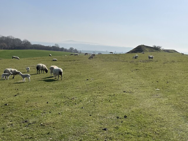
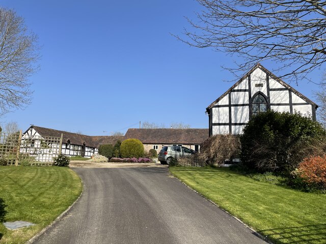
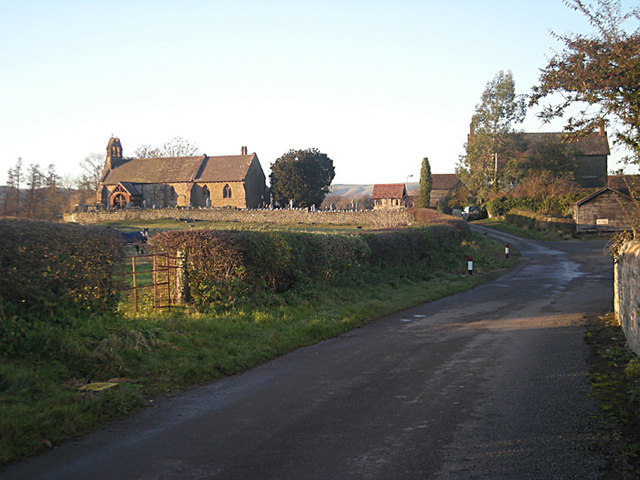
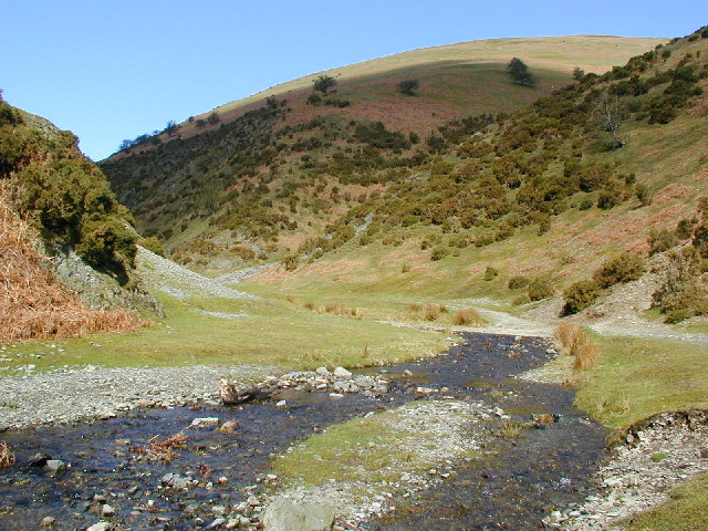
Images are sourced within 2km of 52.448006/-2.8086718 or Grid Reference SO4583. Thanks to Geograph Open Source API. All images are credited.

Winter cereals, Whettleton
B4368, Whettleton Just east of Craven Arms.
B4368, Whettleton
Just east of Craven Arms.
Greenway Cross
Greenway Cross
Under Norton Camp Whettleton Woods and arable farmland.
Under Norton Camp
Whettleton Woods and arable farmland.
Almost Irish Signpost at Greenway Cross.  The National Cycle Network route is still shown after the network was severely degraded earlier in the year.
Almost Irish
Signpost at Greenway Cross. The National Cycle Network route is still shown after the network was severely degraded earlier in the year.
B4368, near Greenway Cross Craven Arms to Corve Dale road.
B4368, near Greenway Cross
Craven Arms to Corve Dale road.
Winter cereals, Whettleton Above Greenway Cross.
Winter cereals, Whettleton
Above Greenway Cross.
River Onny from the White Bridge in Craven Arms Plenty of water still flowing under the bridge on a lovely Spring day.
River Onny from the White Bridge in Craven Arms
Plenty of water still flowing under the bridge on a lovely Spring day.
The White Bridge over the River Onny in Craven Arms Lovely old, unique and distinctive footbridge.
The White Bridge over the River Onny in Craven Arms
Lovely old, unique and distinctive footbridge.
Rocky outcrops on Halford Hill, north east of Craven Arms Peaceful and contented sheep on the hillside.
Rocky outcrops on Halford Hill, north east of Craven Arms
Peaceful and contented sheep on the hillside.
Lower Dinchope residence The building on the right is the old chapel, with a date plate of 1862 and an original stained glass window.
Lower Dinchope residence
The building on the right is the old chapel, with a date plate of 1862 and an original stained glass window.
Field of young wheat near Norton Another footpath crossing a planted field. Hopefully the farmer will delineate the footpath before the crop is fully grown.
Field of young wheat near Norton
Another footpath crossing a planted field. Hopefully the farmer will delineate the footpath before the crop is fully grown.
Into Whettleton Wood The footpath leads you in and then disappears completely! An adventure ensued.
Into Whettleton Wood
The footpath leads you in and then disappears completely! An adventure ensued.
Norton Camp The impressive ramparts surrounding this Iron Age hill fort
Norton Camp
The impressive ramparts surrounding this Iron Age hill fort
Norton Camp ramparts Significant scale apparent, and still very inaccessible!
Norton Camp ramparts
Significant scale apparent, and still very inaccessible!
Norton Camp interior The substantial interior of Norton Camp is now an arable field, but would have been a hive of Iron Age activity
Norton Camp interior
The substantial interior of Norton Camp is now an arable field, but would have been a hive of Iron Age activity
Nortoncamp building Looking back up to Norton Camp from Campbarn. Campbarn is identified as such on the OS map, but now is a pile of soil and rubble - wonder what it looked like?
Nortoncamp building
Looking back up to Norton Camp from Campbarn. Campbarn is identified as such on the OS map, but now is a pile of soil and rubble - wonder what it looked like?
Show me another place!

Crawl Wood is located at Grid Ref: SO4583 (Lat: 52.448006, Lng: -2.8086718)

Unitary Authority: Shropshire

Police Authority: West Mercia

What 3 Words

///fuse.shadowing.reckon. Near Craven Arms, Shropshire

Related Wikis

Halford, Shropshire

Halford is a hamlet and former civil parish, now in the parish of Craven Arms, in the Shropshire district, in south Shropshire, England. It lies just east...

Quinny Brook

Quinny Brook is a tributary stream of the River Onny which flows through the Shropshire Hills Area of Outstanding Natural Beauty in England. == Course... ==

Callow Hill, Shropshire

Callow Hill is a hill near the village of Lower Dinchope between Craven Arms and Ludlow in the English county of Shropshire. Its summit marks the highest...

Flounders' Folly

Flounders' Folly is a tower, built in 1838, on Callow Hill, near Craven Arms at the western end of Wenlock Edge in Shropshire, England. The tower is approximately...

Nearby Amenities

Located within 500m of 52.448006,-2.8086718
Generator Method: photovoltaic
Generator Output Electricity: yes
Generator Source: solar
Generator Type: solar_photovoltaic_panel
Location: roof
Power: generator
Lat/Long: 52.4514588/-2.8120977
The data included in this document is from www.openstreetmap.org. The data is made available under ODbL.

Have you been to Crawl Wood?

Leave your review of Crawl Wood below (or comments, questions and feedback).