Acretarn Plantation
Wood, Forest in Westmorland South Lakeland
England
Acretarn Plantation
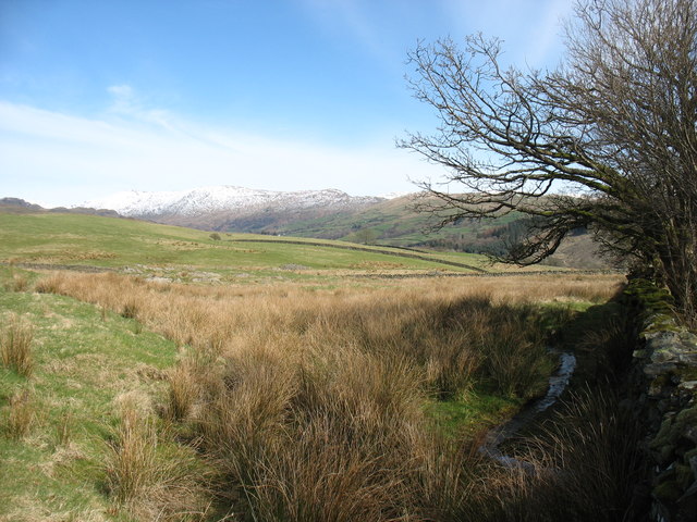
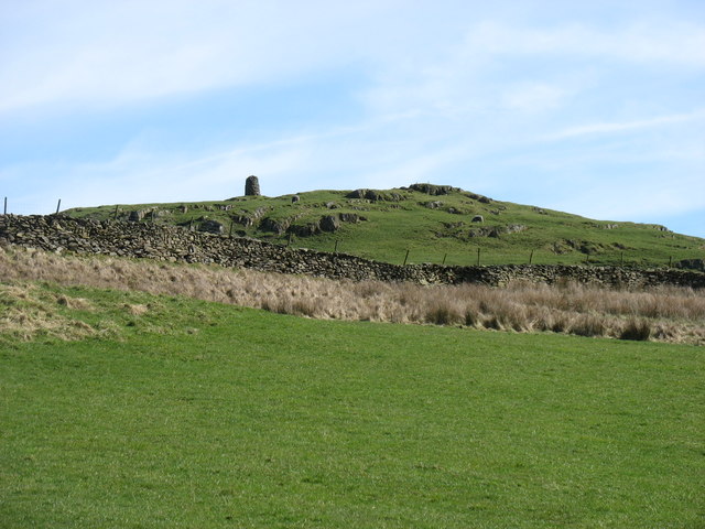
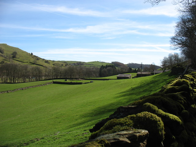
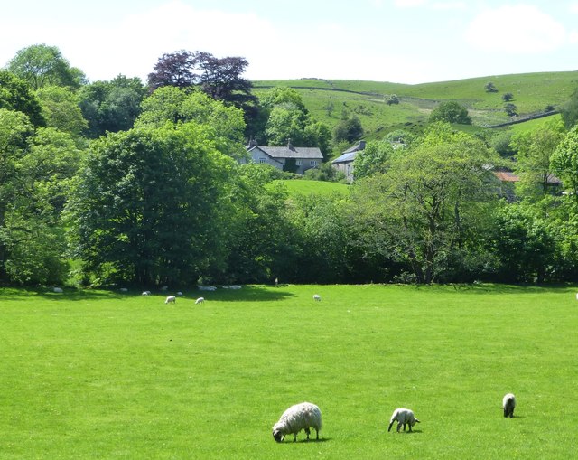
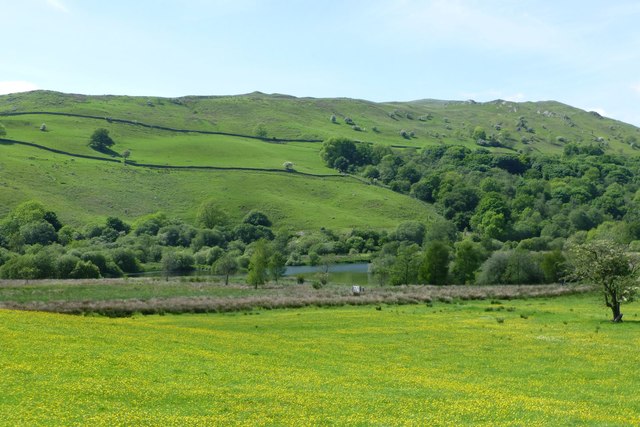
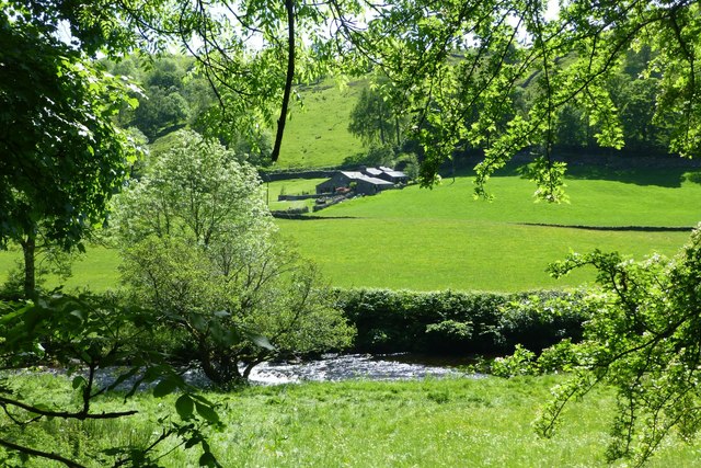
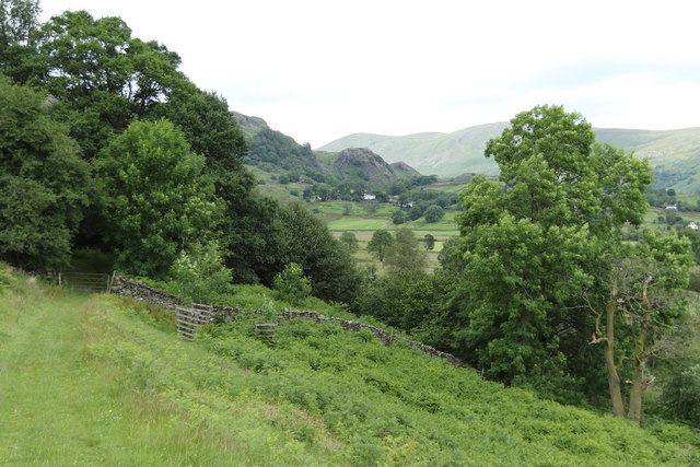
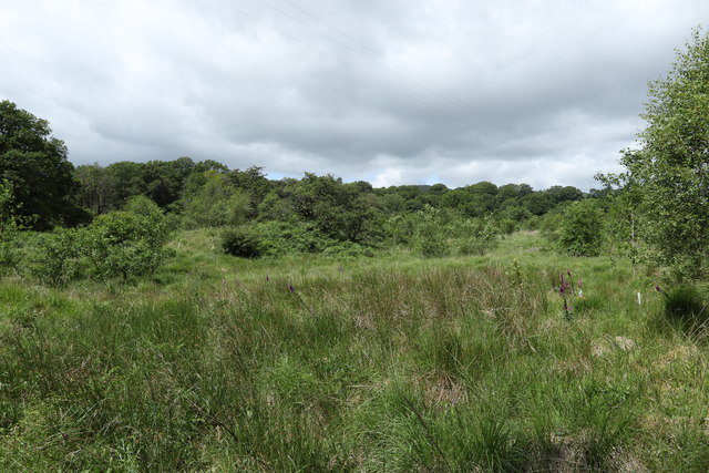
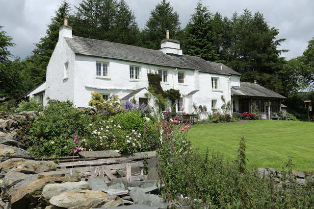
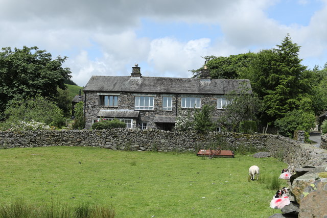
Acretarn Plantation is a picturesque woodland area located in the district of Westmorland, known for its natural beauty and lush greenery. Nestled in the heart of the countryside, this sprawling plantation spans over a vast area, providing a serene haven for both nature enthusiasts and casual visitors alike.
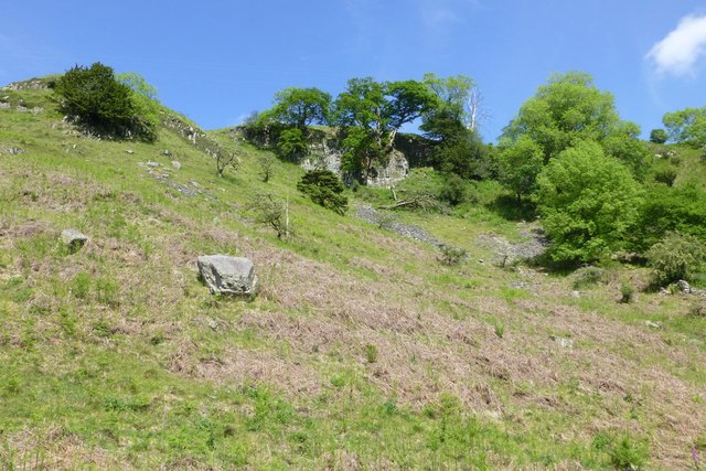
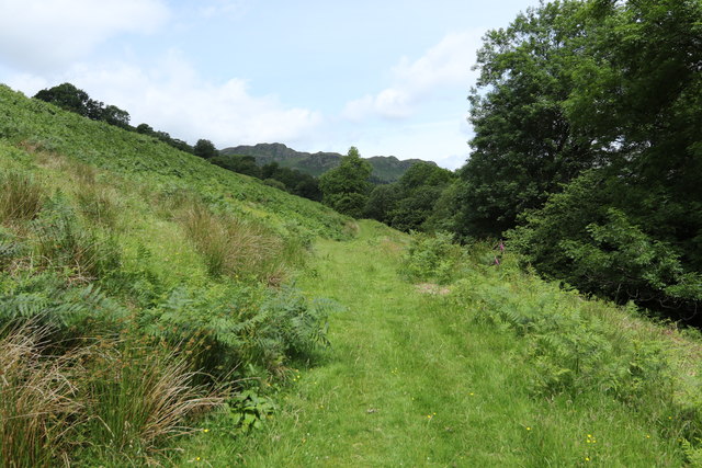
The plantation is predominantly covered by dense forests, consisting of a diverse range of tree species including oak, maple, and pine. These towering trees create a majestic canopy, allowing dappled sunlight to filter through, casting a mesmerizing play of light and shadow on the forest floor.
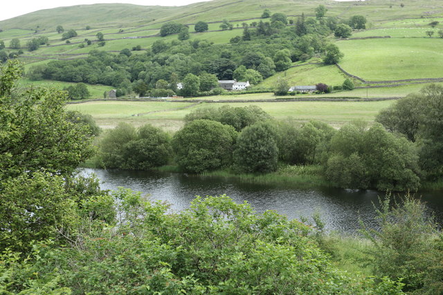
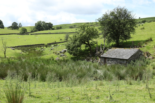
The woodland is home to a flourishing ecosystem, with a rich variety of flora and fauna. The forest floor is adorned with a carpet of vibrant wildflowers, while the tranquil streams that meander through the plantation provide a habitat for numerous aquatic species. Wildlife enthusiasts can often spot a variety of animals, including deer, squirrels, and an array of bird species such as woodpeckers and owls.
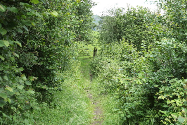
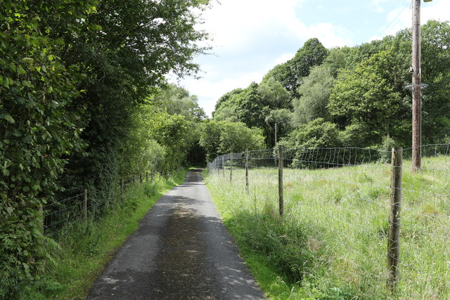
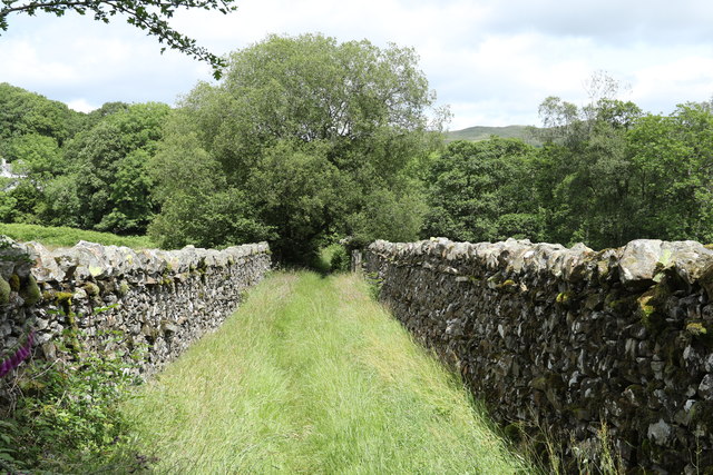
Acretarn Plantation offers a range of recreational activities for visitors to enjoy. There are well-maintained trails that wind through the woodland, providing opportunities for hiking, jogging, or leisurely strolls. The plantation also boasts picnic areas, where families and friends can gather to enjoy a day out surrounded by nature's beauty.
With its idyllic setting and abundant natural features, Acretarn Plantation is a true haven for those seeking solace in the embrace of nature. Visitors can immerse themselves in the tranquility and enchantment of this woodland paradise, making it a must-visit destination for anyone exploring the district of Westmorland.
If you have any feedback on the listing, please let us know in the comments section below.
Acretarn Plantation Images
Images are sourced within 2km of 54.406663/-2.8501105 or Grid Reference NY4401. Thanks to Geograph Open Source API. All images are credited.
Acretarn Plantation is located at Grid Ref: NY4401 (Lat: 54.406663, Lng: -2.8501105)
Administrative County: Cumbria
District: South Lakeland
Police Authority: Cumbria
What 3 Words
///fevered.pets.valued. Near Staveley, Cumbria
Nearby Locations
Related Wikis
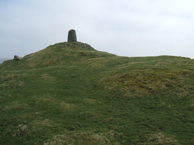
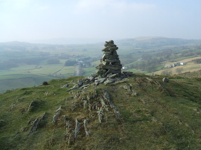
High Knott
High Knott, marked on some Ordnance Survey maps as Williamson's Monument, is a hill in the eastern part of the English Lake District, near Staveley, Cumbria...
Hugill Fell
Hugill Fell is a hill in the English Lake District, near Staveley, Cumbria, on the western side of the Kentmere valley. The Database of British and Irish...

Kentmere
Kentmere is a valley, village and civil parish in the Lake District National Park, a few miles from Kendal in the Westmorland and Furness district of Cumbria...
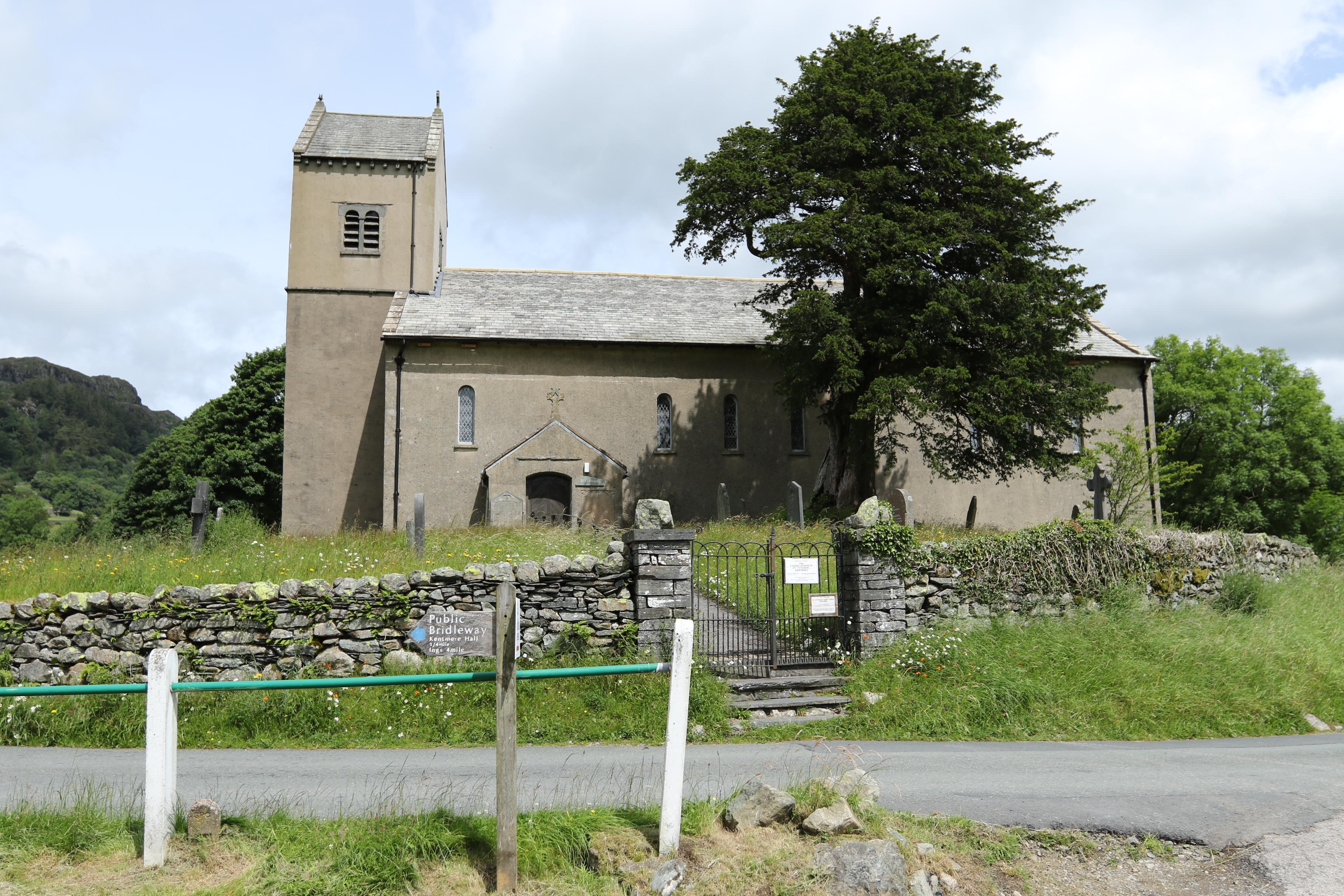
St Cuthbert's Church, Kentmere
St Cuthbert's Church, Kentmere is a Grade II listed parish church in the Church of England in Kentmere, Cumbria. Its benefice is united with that of St...

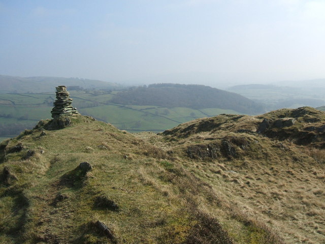
Sallows
Sallows is a fell in the English Lake District, rising between the valleys of Kentmere and Troutbeck. It is the highest point in the upland area to the...

Sour Howes
Sour Howes is a small fell in the English Lake District. It is situated five kilometres east of Ambleside, between the Troutbeck and Kentmere valleys and...

Hugill
Hugill is a civil parish in Cumbria, England. Hugill includes the village of Ings and the hamlets of Grassgarth, and Reston plus a large part of the village...
Reston Scar
Reston Scar is a fell in the Lake District of Cumbria, England. With a height of 837 feet (255 m), it overlooks the north side of Staveley village, and...
Nearby Amenities
Located within 500m of 54.406663,-2.8501105Have you been to Acretarn Plantation?
Leave your review of Acretarn Plantation below (or comments, questions and feedback).