Mickle Moss
Downs, Moorland in Westmorland South Lakeland
England
Mickle Moss

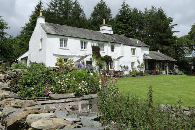
Mickle Moss is a picturesque area located in Westmorland, a historic county in the northwestern part of England. Nestled amidst the enchanting landscape of Downs and Moorland, Mickle Moss is renowned for its stunning natural beauty and diverse flora and fauna.
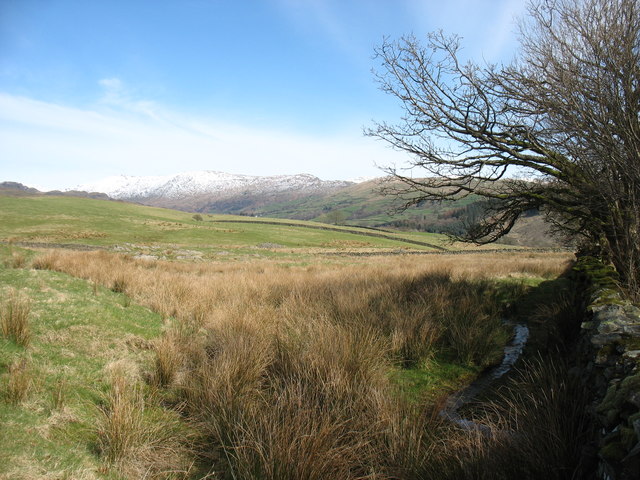
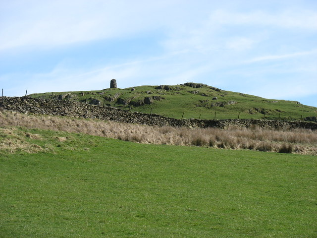
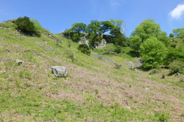
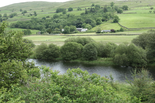
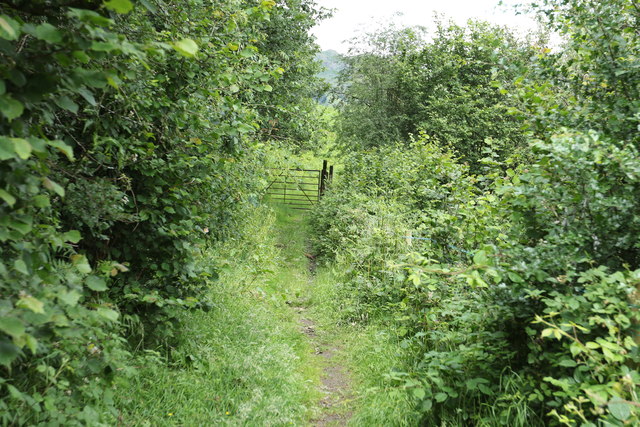
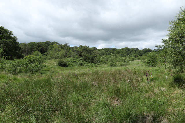
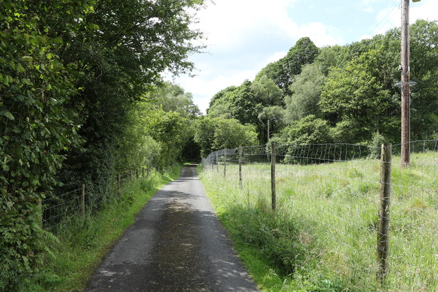
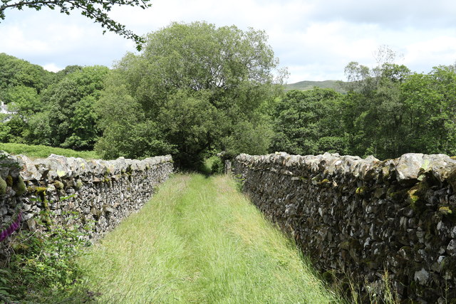
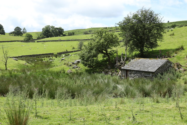
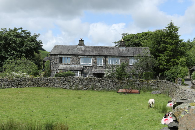
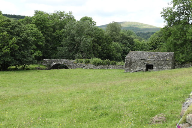
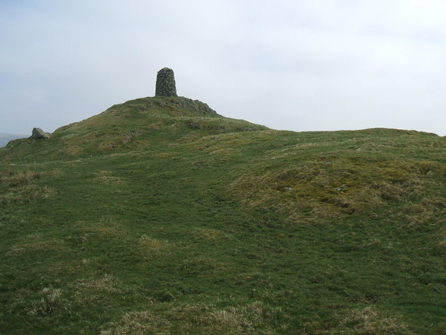
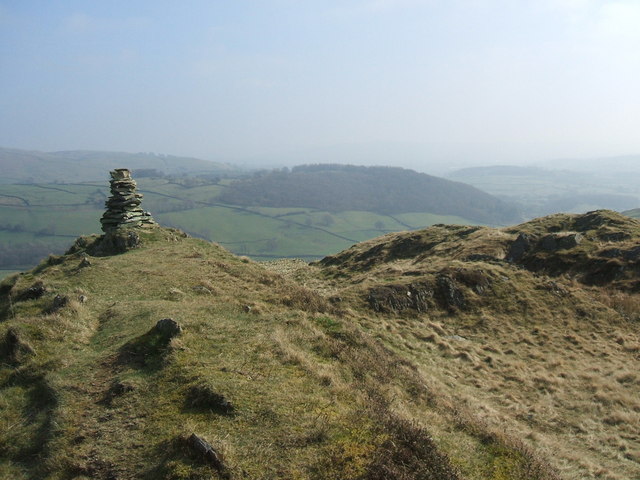
The area is characterized by vast stretches of rolling hills covered in heather and bracken, creating a vivid tapestry of colors throughout the seasons. The mossy terrain is crisscrossed by numerous walking trails that offer breathtaking views of the surrounding countryside. Visitors can explore the area on foot, immersing themselves in the serene atmosphere and enjoying the tranquility of this remote location.
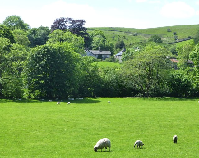
Mickle Moss is home to a diverse range of wildlife, making it a haven for nature lovers and birdwatchers. The moorland provides a habitat for a variety of bird species, including the elusive red grouse and the majestic golden eagle. In addition, the area supports a rich array of plant life, with vibrant wildflowers dotting the landscape during the spring and summer months.
Traditional dry-stone walls can be seen throughout Mickle Moss, adding to its rustic charm and serving as a reminder of the area's agricultural history. The local farmers, who have long worked the land, continue to maintain the landscape, preserving its unique character.
Overall, Mickle Moss offers visitors a chance to escape the hustle and bustle of modern life and immerse themselves in the natural splendor of Westmorland's Downs and Moorland. Whether it's for a leisurely stroll or a birdwatching adventure, Mickle Moss is sure to captivate anyone seeking a tranquil and picturesque getaway.
If you have any feedback on the listing, please let us know in the comments section below.
Mickle Moss Images
Images are sourced within 2km of 54.405371/-2.8586494 or Grid Reference NY4401. Thanks to Geograph Open Source API. All images are credited.


Mickle Moss is located at Grid Ref: NY4401 (Lat: 54.405371, Lng: -2.8586494)
Administrative County: Cumbria
District: South Lakeland
Police Authority: Cumbria
What 3 Words
///actor.skater.outboard. Near Windermere, Cumbria
Nearby Locations
Related Wikis
High Knott
High Knott, marked on some Ordnance Survey maps as Williamson's Monument, is a hill in the eastern part of the English Lake District, near Staveley, Cumbria...

Sour Howes
Sour Howes is a small fell in the English Lake District. It is situated five kilometres east of Ambleside, between the Troutbeck and Kentmere valleys and...

Sallows
Sallows is a fell in the English Lake District, rising between the valleys of Kentmere and Troutbeck. It is the highest point in the upland area to the...
Hugill Fell
Hugill Fell is a hill in the English Lake District, near Staveley, Cumbria, on the western side of the Kentmere valley. The Database of British and Irish...

Hugill
Hugill is a civil parish in Cumbria, England. Hugill includes the village of Ings and the hamlets of Grassgarth, and Reston plus a large part of the village...

Kentmere
Kentmere is a valley, village and civil parish in the Lake District National Park, a few miles from Kendal in the Westmorland and Furness district of Cumbria...
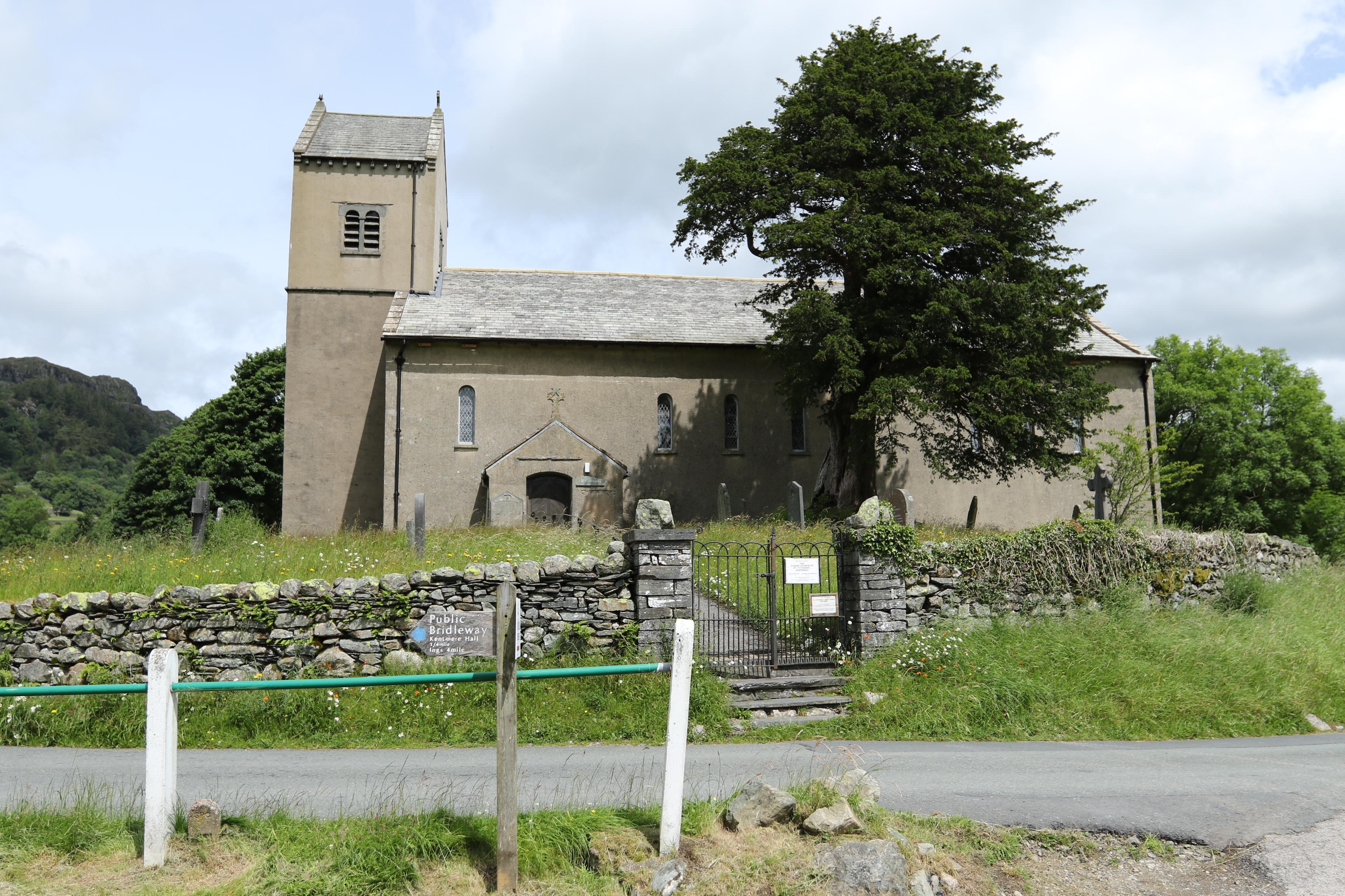
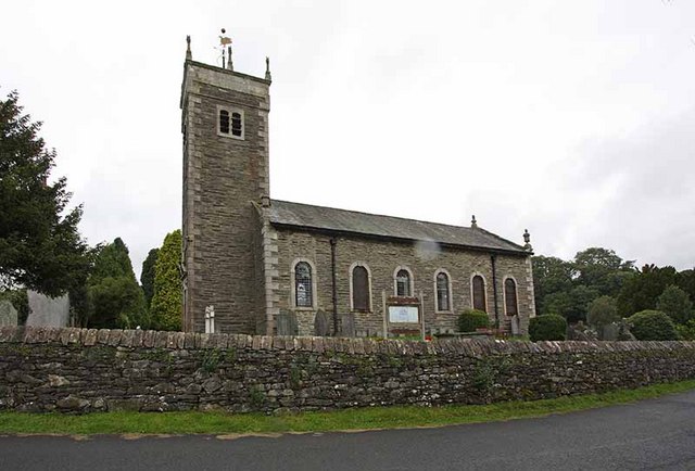
St Cuthbert's Church, Kentmere
St Cuthbert's Church, Kentmere is a Grade II listed parish church in the Church of England in Kentmere, Cumbria. Its benefice is united with that of St...
Ings, Cumbria
Ings is a village in the South Lakeland district of Cumbria, England. It lies on the course on the River Gowan and A591 road, 2 miles (3.2 km) east of...
Nearby Amenities
Located within 500m of 54.405371,-2.8586494Have you been to Mickle Moss?
Leave your review of Mickle Moss below (or comments, questions and feedback).