Annsmoor Withybed Copse
Wood, Forest in Somerset South Somerset
England
Annsmoor Withybed Copse

Annsmoor Withybed Copse is a picturesque woodland located in Somerset, England. Covering an area of approximately 50 acres, it is known for its diverse range of tree species and rich biodiversity. The copse is primarily composed of deciduous trees, including oak, ash, beech, and birch, which create a stunning canopy during the summer months.
The woodland floor is adorned with a variety of wildflowers, such as bluebells, primroses, and wood anemones, adding vibrant colors to the landscape. The copse is also home to a plethora of wildlife, including deer, foxes, badgers, and a wide array of bird species. Birdwatchers often visit the area to spot species such as woodpeckers, owls, and various songbirds.
As a designated Site of Special Scientific Interest (SSSI), Annsmoor Withybed Copse is recognized for its ecological importance. It contains several rare and protected plant species, including the marsh helleborine and the greater butterfly orchid. The copse's diverse habitat also supports a range of invertebrates, fungi, and mosses.
The copse is a popular destination for nature enthusiasts, hikers, and photographers looking to immerse themselves in the beauty of the Somerset countryside. Several walking trails meander through the woodland, allowing visitors to explore its hidden corners and take in the tranquil atmosphere. Whether it's a leisurely stroll or a more challenging hike, Annsmoor Withybed Copse offers a peaceful retreat for those seeking solace in nature.
If you have any feedback on the listing, please let us know in the comments section below.
Annsmoor Withybed Copse Images
Images are sourced within 2km of 50.85604/-2.7870556 or Grid Reference ST4406. Thanks to Geograph Open Source API. All images are credited.


Annsmoor Withybed Copse is located at Grid Ref: ST4406 (Lat: 50.85604, Lng: -2.7870556)
Administrative County: Somerset
District: South Somerset
Police Authority: Avon and Somerset
What 3 Words
///hamsters.appointed.conveys. Near Crewkerne, Somerset
Nearby Locations
Related Wikis

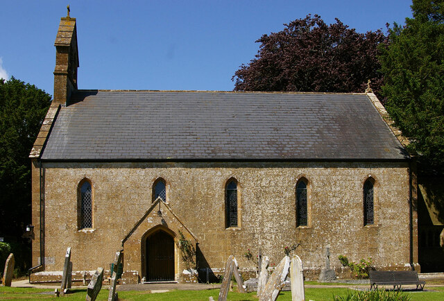
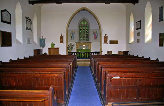
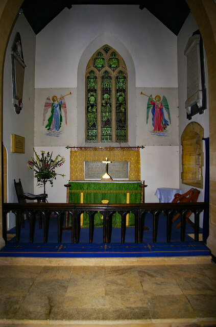
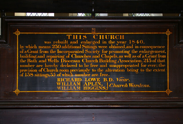
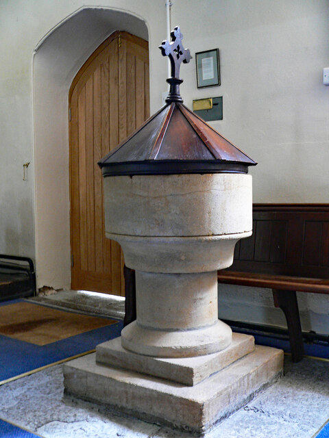
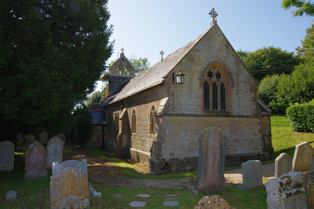
St Mary's Church, Mosterton
St Mary's Church is a Church of England parish church in Mosterton, Dorset, England. The church was designed by Edmund Pearce and built in 1832–33 to replace...

Mosterton
Mosterton is a village and civil parish in Dorset, England, situated approximately 3 miles (4.8 km) north of Beaminster. In the 2011 census the parish...

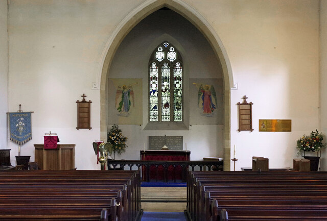
St John's Church, Seaborough
St John's Church is a Church of England church in Seaborough, Dorset, England. Much of the church dates to a rebuild of 1882 and it now forms part of the...

Misterton, Somerset
Misterton is a village and civil parish 1 mile (1.6 km) south-east of Crewkerne, Somerset, England. == History == The village was previously known as Minsterton...
Seaborough
Seaborough is a small village and civil parish in the county of Dorset in southwest England. It is sited in the valley of the River Axe and lies approximately...

Crewkerne railway station
Crewkerne railway station is located in Misterton in Somerset, England, and serves the area around the town of Crewkerne. It is 131 miles 33 chains (211...

South Perrott
South Perrott is a village and civil parish in northwest Dorset, England, 2 miles (3.2 km) southeast of Crewkerne. In 2012 the estimated population of...

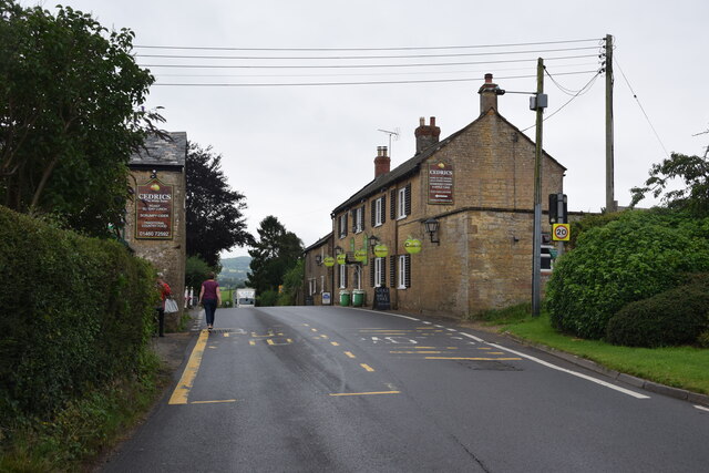
Crewkerne
Crewkerne ( KROO-kərn) is a town and electoral ward in south Somerset, England, 9 miles (14 km) southwest of Yeovil and 7 miles (11 km) east of Chard....
Nearby Amenities
Located within 500m of 50.85604,-2.7870556Have you been to Annsmoor Withybed Copse?
Leave your review of Annsmoor Withybed Copse below (or comments, questions and feedback).