Grubbins Wood
Wood, Forest in Westmorland South Lakeland
England
Grubbins Wood
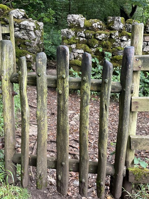
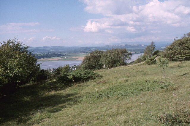
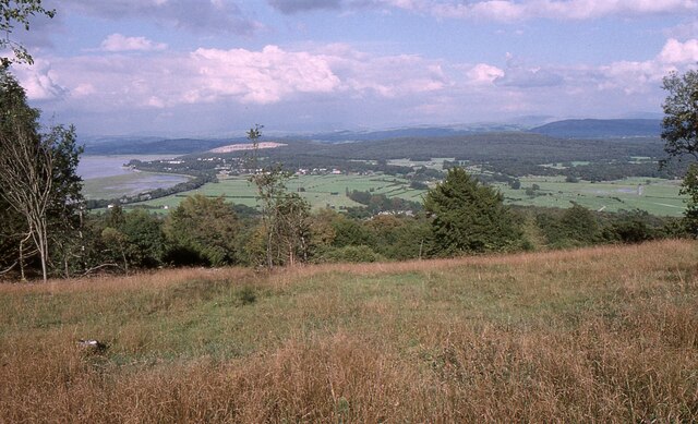
Grubbins Wood, located in the historic county of Westmorland, is a picturesque woodland area nestled in the heart of the Lake District National Park in northwest England. With its dense forests, rolling hills, and tranquil atmosphere, it offers visitors a captivating escape into nature.
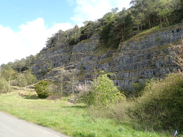
Covering an area of approximately 500 acres, Grubbins Wood is home to a diverse range of flora and fauna. The woodland is predominantly composed of native species such as oak, birch, and beech trees, creating a rich and vibrant ecosystem. The forest floor is carpeted with a variety of wildflowers, providing a colorful display during the spring and summer months.
The wood is intersected by several walking trails and footpaths, allowing visitors to explore its beauty at their leisure. These paths wind through the forest, offering glimpses of enchanting wildlife, including deer, badgers, and a myriad of bird species. The melodic songs of the woodland birds create a symphony of nature that echoes through the trees.
Grubbins Wood is not only a haven for nature enthusiasts but also a place of historical significance. It is believed that the wood has been in existence for centuries and has witnessed the passage of time. The ancient trees bear the scars of previous generations, adding to the mystique and allure of the woodland.
Whether it is for a peaceful stroll, birdwatching, or immersing oneself in the tranquility of nature, Grubbins Wood offers a captivating experience that is truly unique to the Westmorland region. It is a place where visitors can reconnect with the natural world and find solace in its timeless beauty.
If you have any feedback on the listing, please let us know in the comments section below.
Grubbins Wood Images
Images are sourced within 2km of 54.194799/-2.8502615 or Grid Reference SD4478. Thanks to Geograph Open Source API. All images are credited.


Grubbins Wood is located at Grid Ref: SD4478 (Lat: 54.194799, Lng: -2.8502615)
Administrative County: Cumbria
District: South Lakeland
Police Authority: Cumbria
What 3 Words
///purses.seducing.fonts. Near Arnside, Cumbria
Nearby Locations
Related Wikis
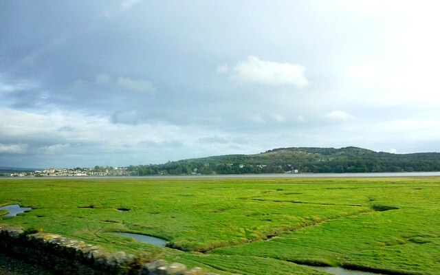
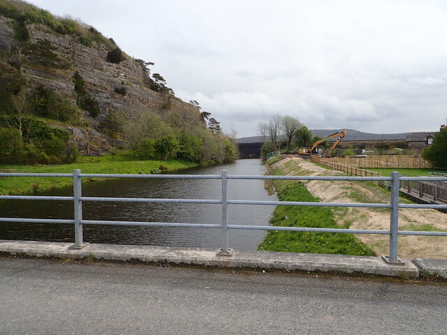
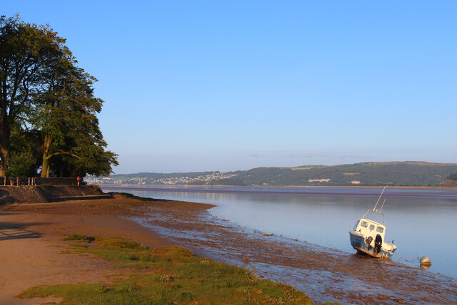
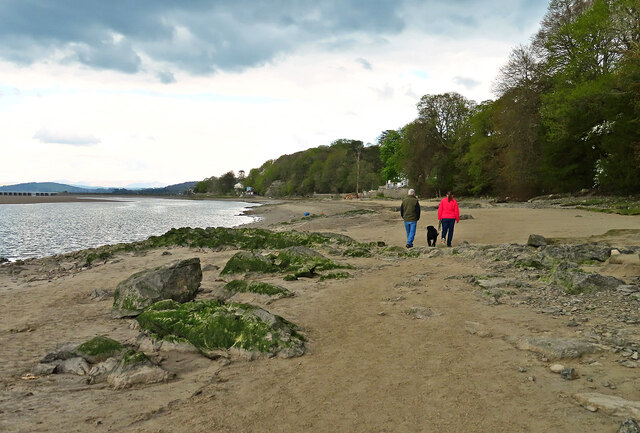
Arnside Bore
The Arnside Bore is a tidal bore on the estuary of the River Kent in England, United Kingdom.The bore occurs at high tides, especially spring tides, where...

Arnside Knott
Arnside Knott is a hill with a summit elevation of 159 metres (522 ft), near Arnside, Cumbria, England. Although it is in South Lakeland district it is...

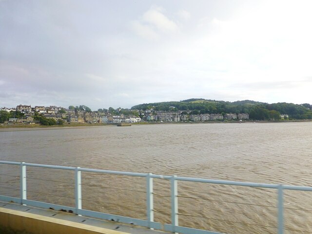
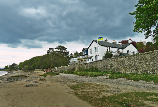
Arnside
Arnside is a village and civil parish in Cumbria, historically part of Westmorland, near the border with Lancashire, England. The Lake District National...

Arnside Viaduct
Arnside Viaduct is a viaduct carrying the Lancaster to Barrow railway line over the River Kent. Construction started in 1856, finished in 1857 and expanded...
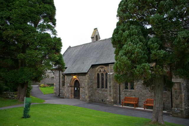
St James' Church, Arnside
St James' Church is in the village of Arnside, Cumbria, England. It is an active Anglican parish church in the deanery of Kendal, the archdeaconry of...

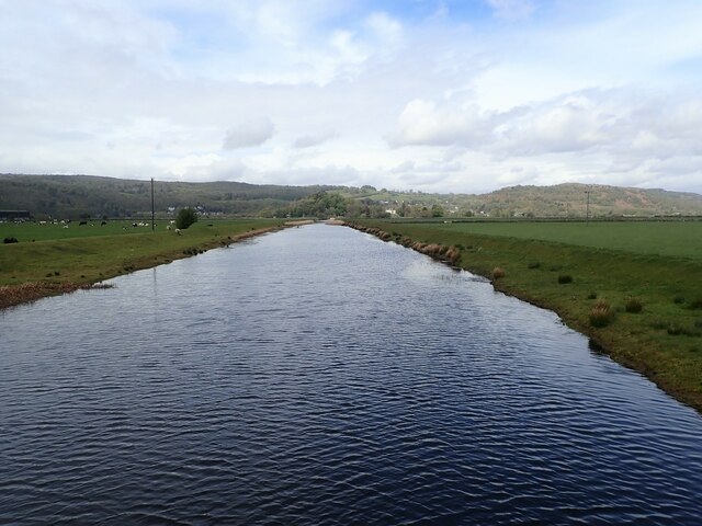
River Winster
The River Winster is a river in the English county of Cumbria. The Winster was the boundary between the ancient counties of Lancashire and Westmorland...
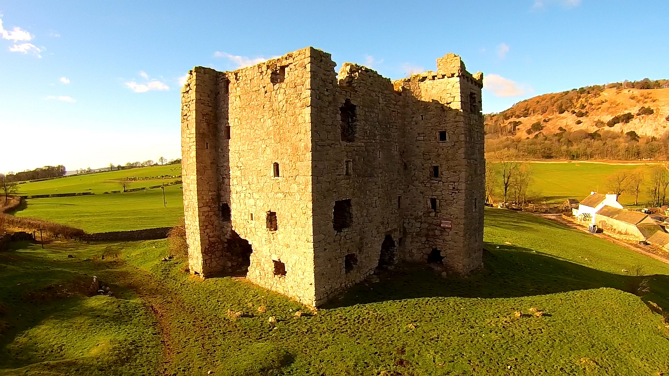
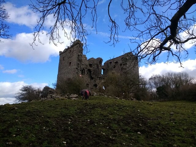
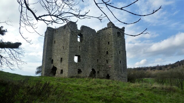
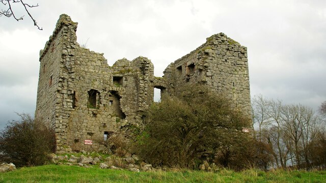
Arnside Tower
Arnside Tower is a late-medieval tower house (or Pele tower) between Arnside and Silverdale immediately to the south of Arnside Knott in Cumbria, England...

Limestone Link (Cumbria)
The Limestone Link is a waymarked footpath in South Lakeland, Cumbria, England, connecting Arnside and Kirkby Lonsdale, a distance of 13 miles (21 km)...
Nearby Amenities
Located within 500m of 54.194799,-2.8502615Have you been to Grubbins Wood?
Leave your review of Grubbins Wood below (or comments, questions and feedback).