Hold Coppice

Wood, Forest in Herefordshire

England

Hold Coppice

Bench beneath the pines on Croft Ambrey One of the very best sited benches that I am aware of, with one of the best views available locally encompassing the Black Mountains around Hay, the distant Brecon Beacons on a clear day, and the beautiful valley of the River Lugg below with the rolling hills of Radnorshire stretching out west into Wales. The wind sighs through the pines, the sun is warm, what more can man want.
Bench beneath the pines on Croft Ambrey Credit: Jeremy Bolwell

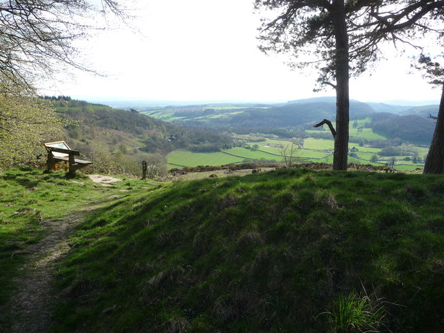
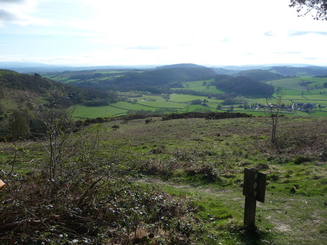
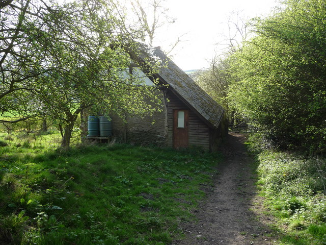
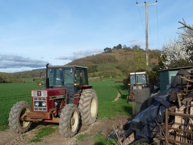
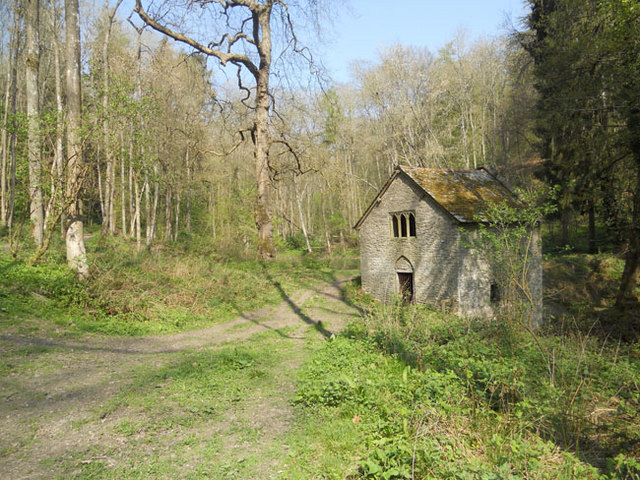
Hold Coppice is a small woodland located in Herefordshire, England. Situated in the heart of the county, it covers an area of approximately 20 acres and is predominantly composed of deciduous trees. The forest is well-known for its diverse range of flora and fauna, attracting nature enthusiasts and visitors alike.

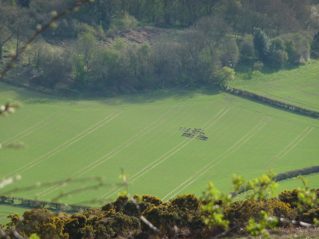
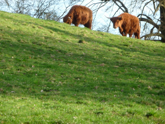
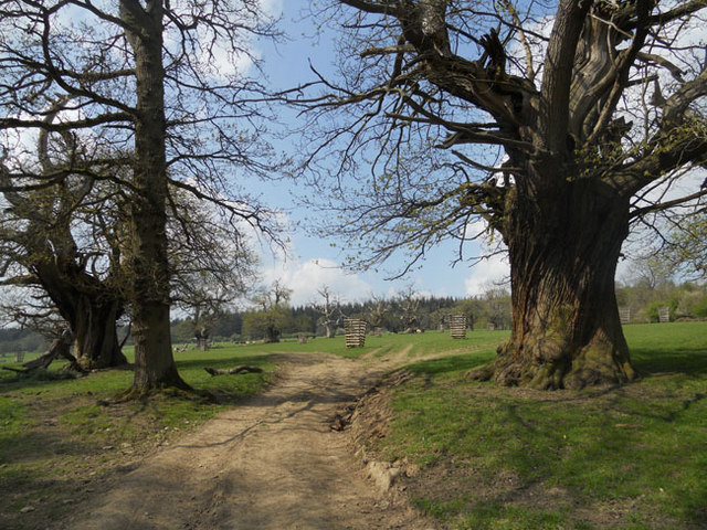
The woodland is characterized by its dense canopy, providing a haven for a variety of wildlife species. The trees, including oak, beech, and ash, intertwine to create a picturesque landscape with sunlight filtering through the branches. Bluebells and wild garlic carpet the forest floor during the spring, adding a vibrant burst of color to the scene.

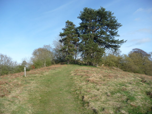
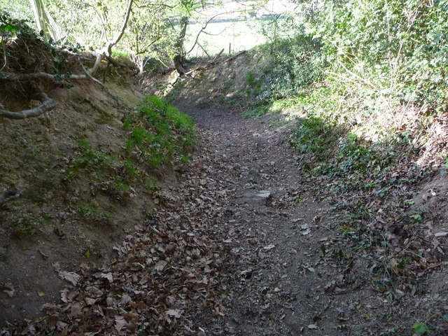
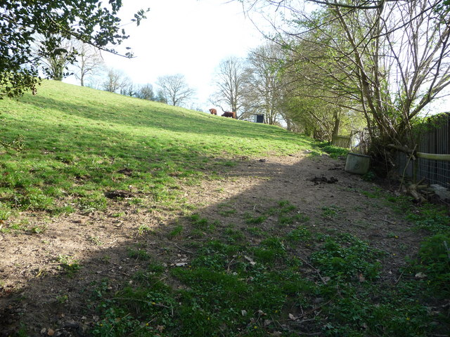
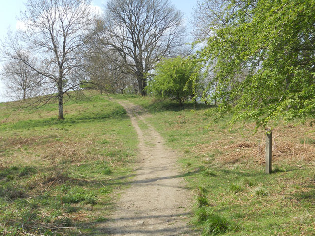
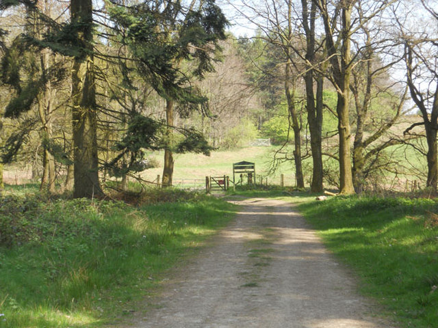
Hold Coppice offers a tranquil environment for visitors to explore and enjoy nature. There are several well-maintained trails that wind through the woodland, allowing visitors to experience the beauty of the forest at their own pace. The paths are suitable for all levels of fitness, making it accessible to a wide range of individuals.

In addition to its natural beauty, Hold Coppice also has historical significance. The woodland has been managed for centuries, with evidence of traditional coppicing techniques still visible today. These methods involve cutting trees at the base, promoting new growth and ensuring a sustainable supply of timber. This traditional management practice has contributed to the unique biodiversity found within the woodland.

Overall, Hold Coppice is a captivating woodland in Herefordshire, offering a peaceful retreat for nature lovers and a glimpse into the region's rich history.

If you have any feedback on the listing, please let us know in the comments section below.

Hold Coppice Images

Images are sourced within 2km of 52.299932/-2.8156202 or Grid Reference SO4467. Thanks to Geograph Open Source API. All images are credited.

Bench beneath the pines on Croft Ambrey One of the very best sited benches that I am aware of, with one of the best views available locally encompassing the Black Mountains around Hay, the distant Brecon Beacons on a clear day, and the beautiful valley of the River Lugg below with the rolling hills of Radnorshire stretching out west into Wales. The wind sighs through the pines, the sun is warm, what more can man want.
Bench beneath the pines on Croft Ambrey
One of the very best sited benches that I am aware of, with one of the best views available locally encompassing the Black Mountains around Hay, the distant Brecon Beacons on a clear day, and the beautiful valley of the River Lugg below with the rolling hills of Radnorshire stretching out west into Wales. The wind sighs through the pines, the sun is warm, what more can man want.
View from the bench beneath the pines on Croft Ambrey The little smudge in one of the green fields below is a herd of deer, moving slowly and grazing the new crops.
View from the bench beneath the pines on Croft Ambrey
The little smudge in one of the green fields below is a herd of deer, moving slowly and grazing the new crops.
A herd of Deer below Croft Ambrey A fairly common sight in the woodlands around this area, but rarely stationary out in the open fields. This herd comprising some 30 individuals grazed for ten minutes and moved slowly into shade. Later a Land Rover Discovery passed on a track and disturbed them and they vanished without trace.
A herd of Deer below Croft Ambrey
A fairly common sight in the woodlands around this area, but rarely stationary out in the open fields. This herd comprising some 30 individuals grazed for ten minutes and moved slowly into shade. Later a Land Rover Discovery passed on a track and disturbed them and they vanished without trace.
Pines on the top of Yatton Bank There are two stands of pines on this steep hillside, one halfway up and this one on the crown of the hill.
Pines on the top of Yatton Bank
There are two stands of pines on this steep hillside, one halfway up and this one on the crown of the hill.
Tiny cottage at the foot of Yatton Bank A small isolated cottage that looks very appealing in Spring sunshine but can only be accessed via a sunken path between high banks and hedges a few hundred metres from the village.
Tiny cottage at the foot of Yatton Bank
A small isolated cottage that looks very appealing in Spring sunshine but can only be accessed via a sunken path between high banks and hedges a few hundred metres from the village.
Sunken path to Yatton Often used by walkers and horse riders it seems these days.
Sunken path to Yatton
Often used by walkers and horse riders it seems these days.
Long horned cattle near Yatton At first I thought these two were Highland but they seem too red in colour, so possibly are some other rare breed.
Long horned cattle near Yatton
At first I thought these two were Highland but they seem too red in colour, so possibly are some other rare breed.
Long horned cattle near Yatton Happily grazing this steep pasture above Yatton.
Long horned cattle near Yatton
Happily grazing this steep pasture above Yatton.
Old tractors in the field near Yatton An old Case International 585 - 1980's vintage and still going strong by the looks of it.
Old tractors in the field near Yatton
An old Case International 585 - 1980's vintage and still going strong by the looks of it.
In the park at Croft Castle
Footpath across Croft Ambrey Fort
Croft Castle church
Croft Castle church
Derelict pump house in Fishpool Valley
Mortimer Trail at Bircher Common
St.Michael & All Angels church The round tower is part of Croft Castle.
St.Michael & All Angels church
The round tower is part of Croft Castle.
Inside St.Michael & All Angels church (2)
Inside St.Michael & All Angels church (1)
St.Michael & All Angels church tower
Show me another place!

Hold Coppice is located at Grid Ref: SO4467 (Lat: 52.299932, Lng: -2.8156202)

Unitary Authority: County of Herefordshire

Police Authority: West Mercia

What 3 Words

///sped.second.descended. Near Wigmore, Herefordshire

Related Wikis

Leinthall Earls

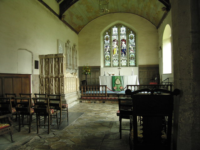
Leinthall Earls or Leinthall Earles is a village in Aymestrey civil parish, Herefordshire, England. == Parish church == The earliest parts of the Church...

Croft Ambrey

Croft Ambrey is an Iron Age hill fort in Herefordshire, England. == Location == Croft Ambrey, on Yatton Hill, is in the civil parish of Aymestrey, 6 miles...

Yatton, Aymestrey

Yatton is a hamlet in the civil parish of Aymestrey in north-western Herefordshire, England. In 1870–72 the township had a population of 214.The hamlet...
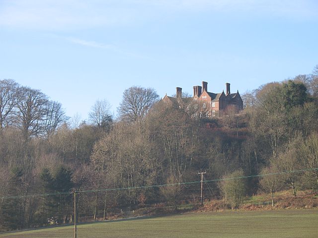
Gatley Park

Gatley Park is an English 17th-century park and country house lying near Leinthall Earls, Herefordshire. Both the park and the house are separately listed...

Croft Castle

Croft Castle is a country house in the village of Croft, Herefordshire, England. Owned by the Croft family since 1085, the castle and estate passed out...

Aymestrey burial

The Aymestrey burial was a beaker cist at Aymestrey, Herefordshire, England. The remains and objects are now in a recreated cist, at Leominster Museum...

Croft, Herefordshire

Croft is a village and former civil parish, now in the parish of Croft and Yarpole, in north Herefordshire, England. In 1961 the parish had a population...

Bircher Common

Bircher Common is an area of lowland heath in the civil parish of Croft and Yarpole in Herefordshire, England, and 6 miles (10 km) north from Leominster...

Nearby Amenities

Located within 500m of 52.299932,-2.8156202
Croft Ambrey
Archaeological Site: fortification
Fortification Type: hill_fort
Historic: archaeological_site
Wikidata: Q5187473
Wikipedia: en:Croft Ambrey
Lat/Long: 52.2965516/-2.8161808
Information: board
Tourism: information
Lat/Long: 52.2969186/-2.8208049
Bench
Source: survey
Lat/Long: 52.2969828/-2.8207762
Tourism: viewpoint
Lat/Long: 52.2969535/-2.8167146
The data included in this document is from www.openstreetmap.org. The data is made available under ODbL.

Have you been to Hold Coppice?

Leave your review of Hold Coppice below (or comments, questions and feedback).