Cold Harbour

Settlement in Berkshire

England

Cold Harbour

Redroofs, Ivor Novello's former home Also see <span class="nowrap"><a title="https://en.wikipedia.org/wiki/Ivor_Novello" rel="nofollow ugc noopener" href="https://en.wikipedia.org/wiki/Ivor_Novello">Link</a><img style="margin-left:2px;" alt="External link" title="External link - shift click to open in new window" src="https://s1.geograph.org.uk/img/external.png" width="10" height="10"/></span>
Redroofs, Ivor Novello's former home Credit: Basher Eyre

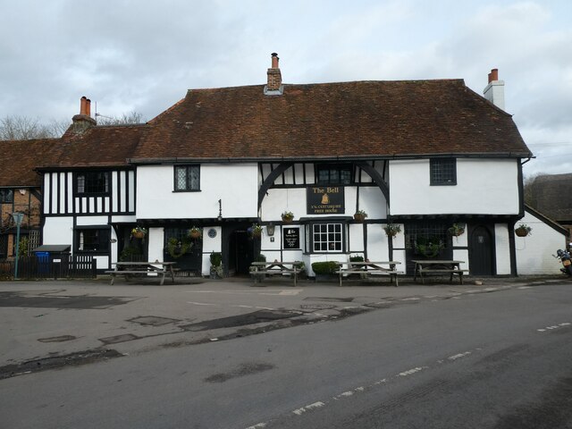
Cold Harbour is a small hamlet located in the county of Berkshire, England. Situated approximately 6 miles south-east of Reading, it lies within the civil parish of Shinfield. With a population of around 200 residents, Cold Harbour is a quiet and tight-knit community.

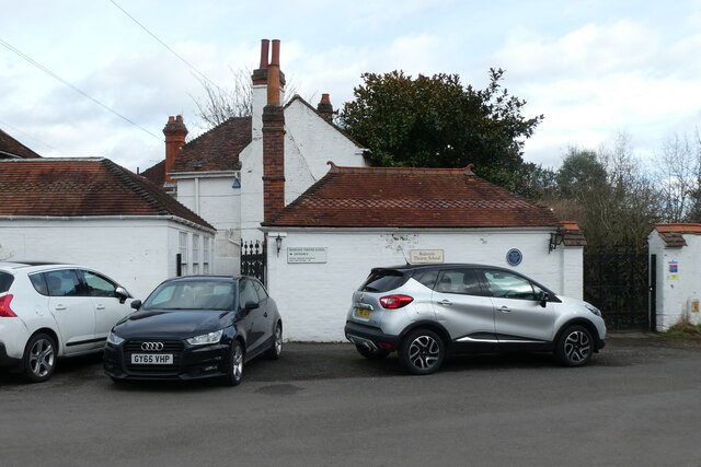
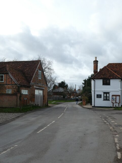
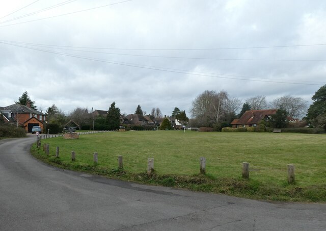
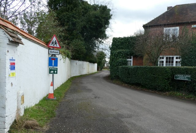
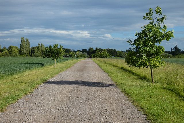
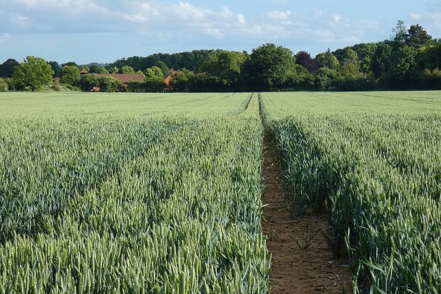
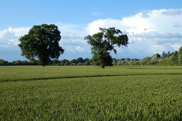
The hamlet is characterized by its picturesque rural setting, surrounded by open fields and farmland, offering a peaceful and idyllic atmosphere. The area is dotted with charming cottages and traditional farmhouses, giving it a quintessential English countryside feel.

Despite its small size, Cold Harbour benefits from its proximity to nearby amenities and attractions. The bustling town of Reading is just a short drive away, offering a wide range of shopping, dining, and entertainment options. The hamlet is also conveniently located near major transportation routes, including the A33 and M4 motorway, providing easy access to other parts of Berkshire and beyond.

The surrounding area offers ample opportunities for outdoor activities, with several walking and cycling trails nearby. The nearby countryside is also popular for equestrian pursuits, with horse riding facilities available in the vicinity.

In terms of amenities, Cold Harbour has limited local services, with residents relying on neighboring towns for essential facilities such as schools, healthcare, and shopping. However, this adds to the charm of the hamlet, as it retains a peaceful and rural character.

Overall, Cold Harbour, Berkshire is a tranquil and picturesque hamlet, offering a serene countryside lifestyle while providing easy access to nearby towns and amenities.

If you have any feedback on the listing, please let us know in the comments section below.

Cold Harbour Images

Images are sourced within 2km of 51.502218/-0.80070537 or Grid Reference SU8378. Thanks to Geograph Open Source API. All images are credited.

Redroofs, Ivor Novello's former home Also see <span class="nowrap"><a title="https://en.wikipedia.org/wiki/Ivor_Novello" rel="nofollow ugc noopener" href="https://en.wikipedia.org/wiki/Ivor_Novello">Link</a><img style="margin-left:2px;" alt="External link" title="External link - shift click to open in new window" src="https://s1.geograph.org.uk/img/external.png" width="10" height="10"/></span>
Redroofs, Ivor Novello's former home
Also see LinkExternal link
Looking down Knowl Hill Common towards Bath Road
Rush hour in Waltham St Lawrence
Traffic jam in Littlewick Green The traditional view of a village green is a mowed space on which cricket matches are played, and maypoles are danced around, with well-placed benches, serving as a meeting place and forming the heart of a rural community. The origin of the village green lies in customary rights. Though technically originally a trespass, or carried out with the permission of the Lord of the manor, these rights became customary and enforceable through the courts.In the 19th century, it was the practice of Inclosure Commissioners to allot parcels of land to the villagers themselves. The Commons Registration Act of 1965  identified three classes of greens. Once registered, they could never be built upon
Traffic jam in Littlewick Green
The traditional view of a village green is a mowed space on which cricket matches are played, and maypoles are danced around, with well-placed benches, serving as a meeting place and forming the heart of a rural community. The origin of the village green lies in customary rights. Though technically originally a trespass, or carried out with the permission of the Lord of the manor, these rights became customary and enforceable through the courts.In the 19th century, it was the practice of Inclosure Commissioners to allot parcels of land to the villagers themselves. The Commons Registration Act of 1965 identified three classes of greens. Once registered, they could never be built upon
Looking south-southeast in School Lane
Looking towards the Royal Oak on Knowl Hill Common
St Peter, Knowl Hill: early February 2022
St Peter, Knowl Hill: churchyard
The Bell, Waltham St Lawrence: early February 2022
Blue plaque on The Bell Also see <span class="nowrap"><a title="http://www.berkshirehistory.com/bios/rnewbery.html" rel="nofollow ugc noopener" href="http://www.berkshirehistory.com/bios/rnewbery.html">Link</a><img style="margin-left:2px;" alt="External link" title="External link - shift click to open in new window" src="https://s1.geograph.org.uk/img/external.png" width="10" height="10"/></span>
Blue plaque on The Bell
Also see LinkExternal link
Waltham St Lawrence: noticeboard
Track and farmland, Waltham St Lawrence The footpath between large fields of wheat on Weycock Hill.
Track and farmland, Waltham St Lawrence
The footpath between large fields of wheat on Weycock Hill.
Track and farmland, Waltham St Lawrence The footpath approaching the village via Church Farm.
Track and farmland, Waltham St Lawrence
The footpath approaching the village via Church Farm.
Farmland, Waltham St Lawrence A large field of wheat with the buildings of Halls Farm amongst the trees.
Farmland, Waltham St Lawrence
A large field of wheat with the buildings of Halls Farm amongst the trees.
Farmland, White Waltham A couple of oaks in wheat to the west of Westacott Way.
Farmland, White Waltham
A couple of oaks in wheat to the west of Westacott Way.
Junction on the A4, Knowl Hill Star Lane is on the left
Junction on the A4, Knowl Hill
Star Lane is on the left
Star Lane at the junction of Bath Road
Fields between Twyford and Maidenhead Viewed from the eastbound railway line. The field houses the site of a Roman Temple. Just visible in far right background is the mast at Knowle Hill.
Fields between Twyford and Maidenhead
Viewed from the eastbound railway line. The field houses the site of a Roman Temple. Just visible in far right background is the mast at Knowle Hill.
Show me another place!

Cold Harbour is located at Grid Ref: SU8378 (Lat: 51.502218, Lng: -0.80070537)

Unitary Authority: Windsor and Maidenhead

Police Authority: Thames Valley

What 3 Words

///metals.enacts.coasting. Near White Waltham, Berkshire

Nearby Locations

Shottesbrooke Cold Harbour

Related Wikis

Knowl Hill

Knowl Hill is a village in the civil parish of Hurley in Berkshire, England. It is 5 miles (8 km) west of Maidenhead on the A4 road toward Reading. In...

Cookham Rural District

Cookham was a rural district in Berkshire, England from 1894 to 1974. The district was formed by the Local Government Act 1894 as a successor to the Cookham...

Littlewick Green

Littlewick Green is a village in the north of civil parish of White Waltham (where the 2011 Census was included) and the south of the civil parish of Hurley...

Shottesbrooke Park

Shottesbrooke Park is a Grade II* listed country house and park in Shottesbrooke, Berkshire, England, southwest of Maidenhead. The house is a Tudor mansion...

White Waltham Airfield

White Waltham Airfield (ICAO: EGLM) is an operational general aviation aerodrome located at White Waltham, 2 nautical miles (3.7 km; 2.3 mi) southwest...

Shottesbrooke

Shottesbrooke is a hamlet and civil parish administered by the unitary authority of the Royal Borough of Windsor and Maidenhead in the English county...

Kiln Green

Kiln Green is a small village in the civil parish of Wargrave in the English county of Berkshire. It is at grid reference SU813784 on the A4 Bath Road...
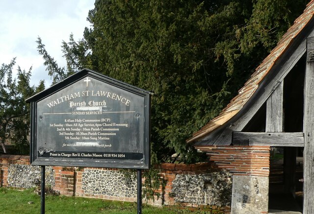
Waltham St Lawrence

Waltham St Lawrence is a village and civil parish in the English county of Berkshire. == Toponymy == The name 'Waltham' is believed to be derived from...

Nearby Amenities

Located within 500m of 51.502218,-0.80070537
Power: pole
Source: Bing
Lat/Long: 51.5001943/-0.8064006
Power: pole
Source: Bing
Lat/Long: 51.5061158/-0.8011322
Power: pole
Source: Bing
Lat/Long: 51.5046715/-0.8065395
Power: pole
Source: Bing
Lat/Long: 51.503375/-0.8067923
Power: pole
Source: Bing
Lat/Long: 51.5065279/-0.7992212
Power: pole
Source: Bing
Lat/Long: 51.5052525/-0.8045382
Power: pole
Source: Bing
Lat/Long: 51.4992727/-0.8055047
Power: pole
Source: Bing
Lat/Long: 51.5023081/-0.8066634
Power: pole
Source: Bing
Lat/Long: 51.5057801/-0.802546
Power: pole
Source: Bing
Lat/Long: 51.5011159/-0.8065293
Direction: 170
Generator Method: photovoltaic
Generator Output Electricity: yes
Generator Solar Modules: 17
Generator Source: solar
Generator Type: solar_photovoltaic_panel
Location: roof
Power: generator
Lat/Long: 51.5059453/-0.8011125
The data included in this document is from www.openstreetmap.org. The data is made available under ODbL.

Have you been to Cold Harbour?

Leave your review of Cold Harbour below (or comments, questions and feedback).