Cold Harbour

Settlement in Wiltshire

England

Cold Harbour

Stile onto footpath This stile provides access from the road onto the footpath.  Judging by the relatively vigorous crop growth on the footpath this is not frequently used.
Stile onto footpath Credit: Doug Lee

Cold Harbour is a small hamlet located in the county of Wiltshire, England. Situated in the southern part of the county, it lies approximately 5 miles east of the town of Calne and 13 miles northwest of Salisbury. This rural settlement is nestled amidst the picturesque landscape of the Salisbury Plains, characterized by rolling hills, open fields, and scattered woodlands.

Despite its small size, Cold Harbour offers a tranquil and idyllic setting for residents and visitors alike. The hamlet primarily comprises a handful of traditional stone cottages and farmhouses, giving it a charming and quaint atmosphere. The surrounding countryside provides ample opportunities for outdoor activities such as hiking, cycling, and horseback riding, making it popular among nature enthusiasts.

Cold Harbour benefits from its proximity to nearby towns and cities, which provide essential amenities and services. The hamlet is within easy reach of Calne, where residents can find a range of shops, supermarkets, schools, and healthcare facilities. Additionally, the city of Salisbury offers a wider array of amenities, including shopping centers, restaurants, and cultural attractions.

Transport links to Cold Harbour are convenient, with the A345 road passing nearby, providing easy access to the wider road network. Public transportation options are limited, with a few bus services connecting the hamlet to neighboring towns and villages.

Overall, Cold Harbour is a peaceful and scenic hamlet, offering a serene lifestyle amidst the natural beauty of Wiltshire's countryside.

If you have any feedback on the listing, please let us know in the comments section below.
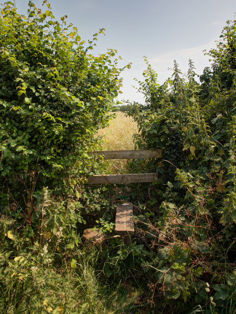
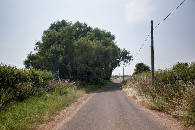
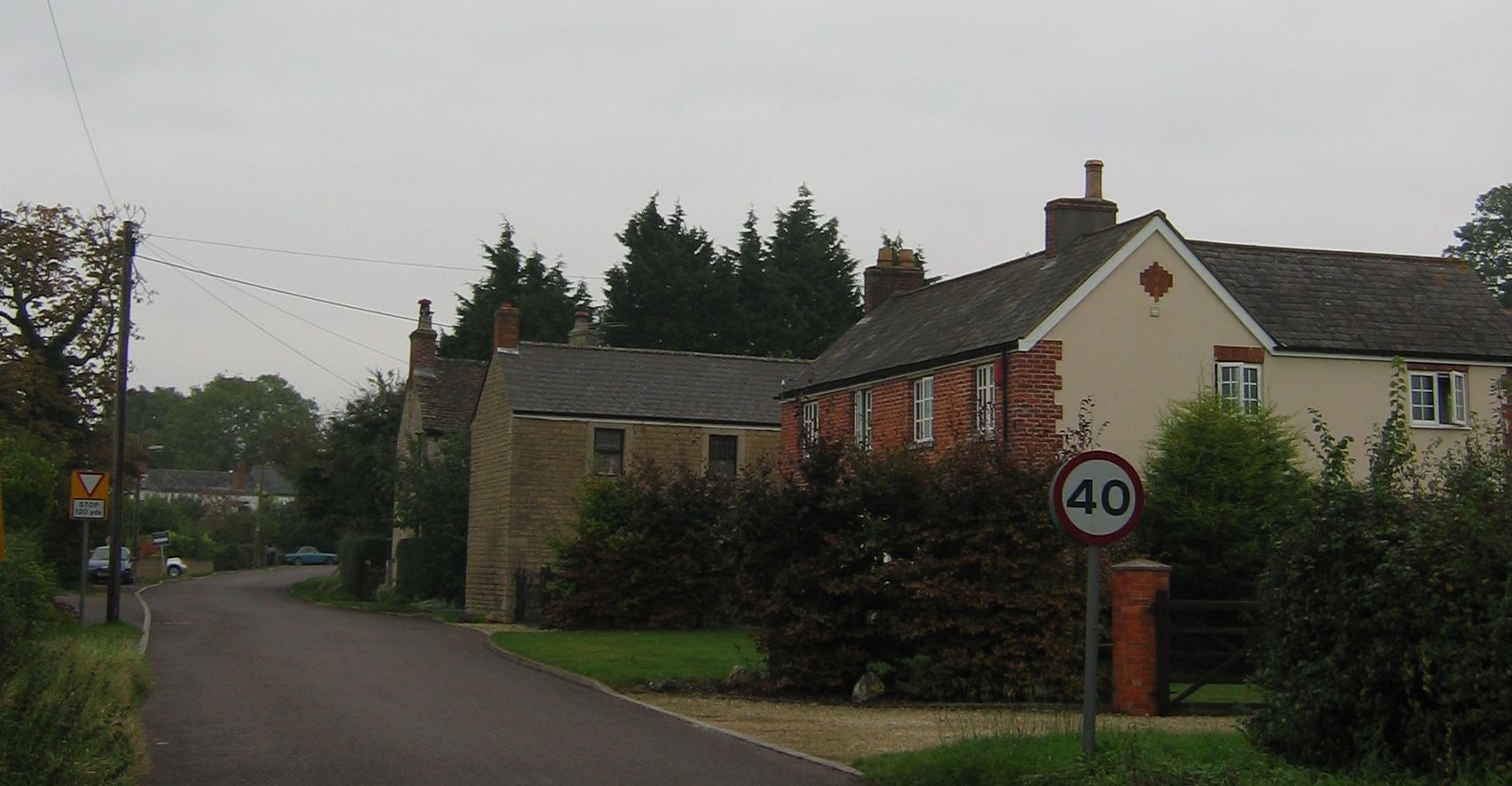
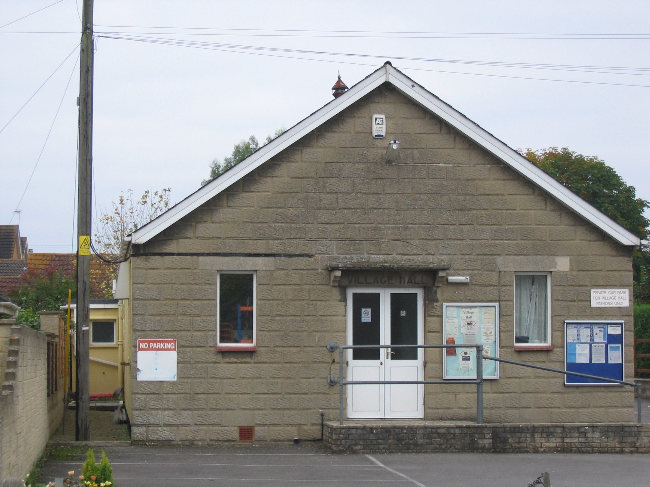
Cold Harbour Images

Images are sourced within 2km of 51.327344/-2.14708 or Grid Reference ST8958. Thanks to Geograph Open Source API. All images are credited.

Stile onto footpath This stile provides access from the road onto the footpath.  Judging by the relatively vigorous crop growth on the footpath this is not frequently used.
Stile onto footpath
This stile provides access from the road onto the footpath. Judging by the relatively vigorous crop growth on the footpath this is not frequently used.
Sandpits Lane The footpath sign points towards the stile and footpath shown in <a href="https://www.geograph.org.uk/photo/3565438">ST9056 : Stile onto footpath</a>
Sandpits Lane
The footpath sign points towards the stile and footpath shown in ST9056 : Stile onto footpath
Footpath by the field boundary To the right of this fence is pasture in which, at the time of taking the image, cows were grazing.

On this side of the fence a footpath runs parallel to the fence.  The field on this side appears to be planted with oil seed rape but in reality it seems to be primarily be growing thistles.
Footpath by the field boundary
To the right of this fence is pasture in which, at the time of taking the image, cows were grazing. On this side of the fence a footpath runs parallel to the fence. The field on this side appears to be planted with oil seed rape but in reality it seems to be primarily be growing thistles.
Footpath and field The tractor track follows the line of the footpath
Footpath and field
The tractor track follows the line of the footpath
Minor road leading to Keevil
Steeple Ashton High Street
Steeple Ashton: Small octagonal lock-up (1773) and village cross with sundial (1679)
Steeple Ashton: Village Cross with sundial (1679)
Steeple Ashton: Ashton House (c.1500) with stone facade of 1724
Steeple Ashton: Sundial House
Steeple Ashton High Street: Stone-built Bakewell House and other brick-built houses
Steeple Ashton, St. Mary the Virgin Church: Southern aspect
Steeple Ashton, St. Mary the Virgin Church: Lierne-vaulted south aisle
Steeple Ashton, St. Mary the Virgin Church: Canopied niche corbel 1
Steeple Ashton, St. Mary the Virgin Church: Lierne-vaulted south aisle
Steeple Ashton, St. Mary the Virgin Church: Robert Foulkes memorial plaque
Show me another place!

Cold Harbour is located at Grid Ref: ST8958 (Lat: 51.327344, Lng: -2.14708)

Unitary Authority: Wiltshire

Police Authority: Wiltshire

What 3 Words

///justifies.slipping.blubber. Near Bulkington, Wiltshire

Related Wikis

Ashton Common

Ashton Common is a hamlet in Wiltshire, England, to the east of Trowbridge. The hamlet lies on Common Hill, a little south of the A350 road, within the...

Whorwellsdown Hundred

Whorwellsdown was a hundred of the English county of Wiltshire, lying in the west of the county to the south of the towns of Bradford on Avon and Melksham...

Great Hinton

Great Hinton is a small village and civil parish about 3 miles (4.8 km) south of Melksham and 3.5 miles (5.6 km) north-east of Trowbridge in Wiltshire...

Semington

Semington is a village and civil parish in Wiltshire, England. The village is about 2 miles (3 km) south of Melksham and about 3 miles (5 km) northeast...

Steeple Ashton

Steeple Ashton is a village and civil parish in Wiltshire, England, 3 miles (4.8 km) east of Trowbridge. In the north of the parish are the hamlets of...
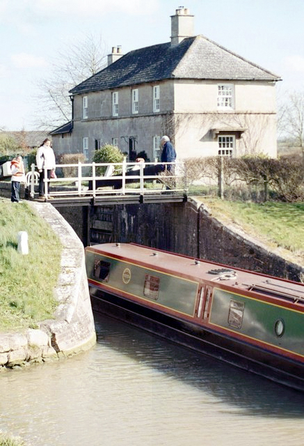
Semington Locks

The Semington Locks (grid reference ST900609) are situated at Semington, Wiltshire on the Kennet and Avon Canal, England. They have a combined rise/fall...
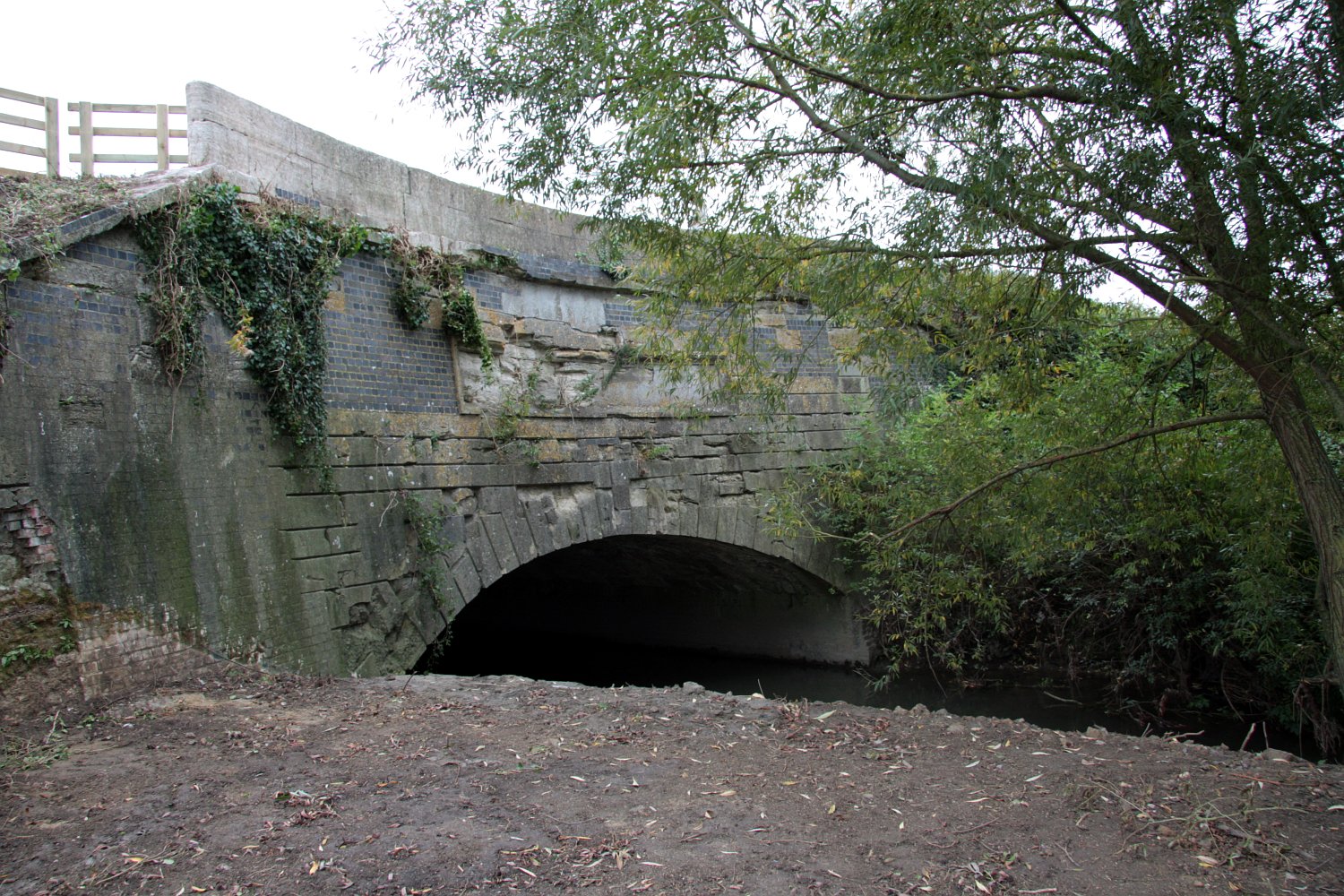
Semington Aqueduct

Semington Aqueduct (grid reference ST896609) is an aqueduct at Semington, Wiltshire, England, UK. It carries the Kennet and Avon Canal over the Semington...

New Semington Aqueduct

New Semington Aqueduct (grid reference ST904609) carries the Kennet and Avon Canal over the carriageway of the A350 road Trowbridge Bypass, at Semington...

Nearby Amenities

Located within 500m of 51.327344,-2.14708
Give Way
Source: bing
Lat/Long: 51.3285234/-2.1507387
Give Way
Source: bing
Lat/Long: 51.326108/-2.1526526
Give Way
Source: bing
Lat/Long: 51.3266787/-2.1493088
Give Way
Source: bing
Lat/Long: 51.3267116/-2.149422
Bleet
Place: hamlet
Lat/Long: 51.3249259/-2.146079
Cold Harbour
Place: hamlet
Lat/Long: 51.3272493/-2.1468673
The data included in this document is from www.openstreetmap.org. The data is made available under ODbL.

Have you been to Cold Harbour?

Leave your review of Cold Harbour below (or comments, questions and feedback).