Horse Hey Plantation
Wood, Forest in Lancashire
England
Horse Hey Plantation
Horse Hey Plantation, located in Lancashire, is a charming woodland area known for its natural beauty and diverse ecosystem. Spanning several acres, this forested landscape offers a peaceful retreat for nature enthusiasts and outdoor enthusiasts alike.
The plantation is predominantly composed of deciduous trees, including oak, beech, and birch, which create a lush canopy overhead. This dense forest provides a haven for a variety of wildlife, such as squirrels, deer, and a multitude of bird species. The undergrowth is adorned with vibrant wildflowers and ferns, adding a touch of color and vibrancy to the woodland floor.
The plantation is crisscrossed with a network of well-maintained footpaths, allowing visitors to explore the area at their own pace. These paths meander through the woodland, offering glimpses of babbling brooks and small ponds along the way. Horse Hey Plantation is a popular destination for walkers, joggers, and cyclists, who can enjoy the tranquil atmosphere and fresh air while immersing themselves in the natural surroundings.
The plantation also holds historical significance, with remnants of old stone walls and structures scattered throughout the area. These remnants serve as a reminder of the area's past and add an element of intrigue to the landscape.
Overall, Horse Hey Plantation in Lancashire is a captivating woodland retreat that offers a serene escape from the hustle and bustle of daily life. With its diverse flora and fauna, well-maintained trails, and historical charm, this plantation has something to offer everyone seeking a connection with nature.
If you have any feedback on the listing, please let us know in the comments section below.
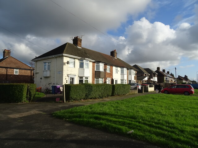
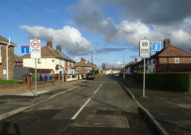
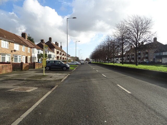
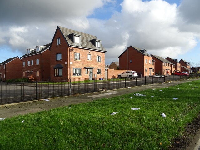
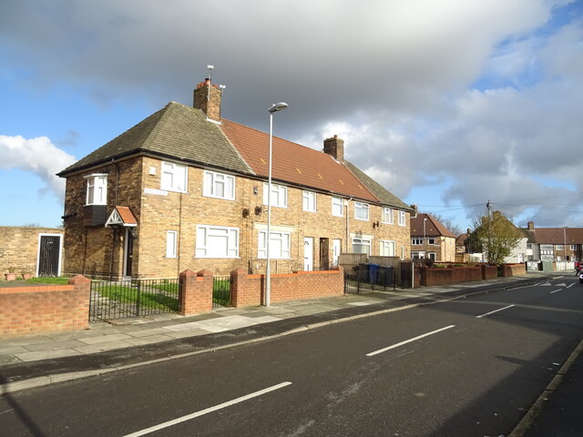
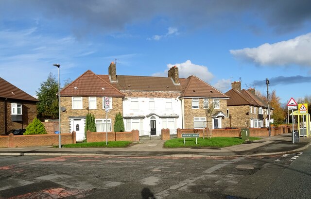
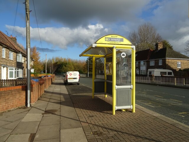
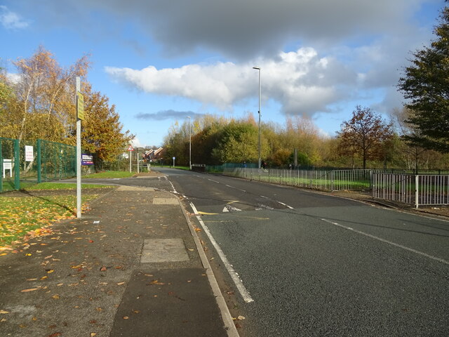
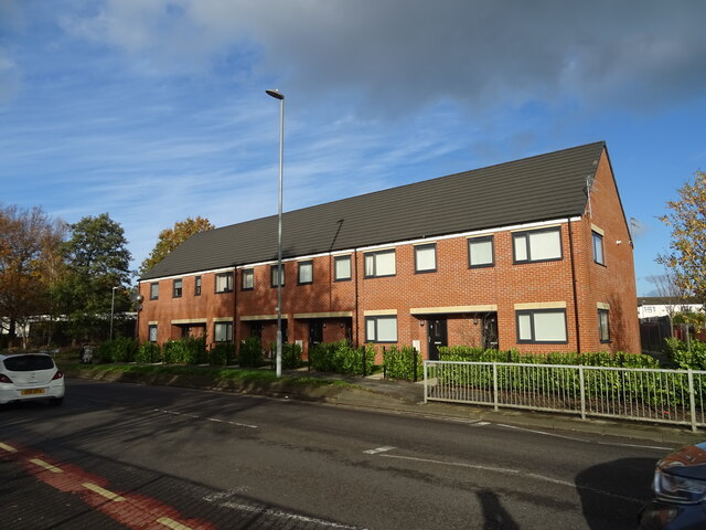
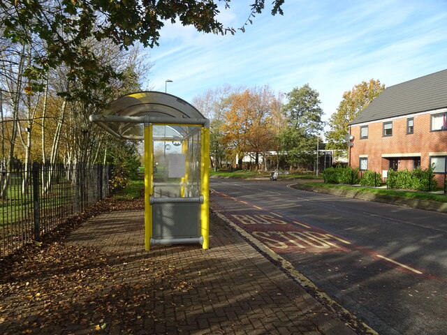
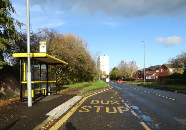
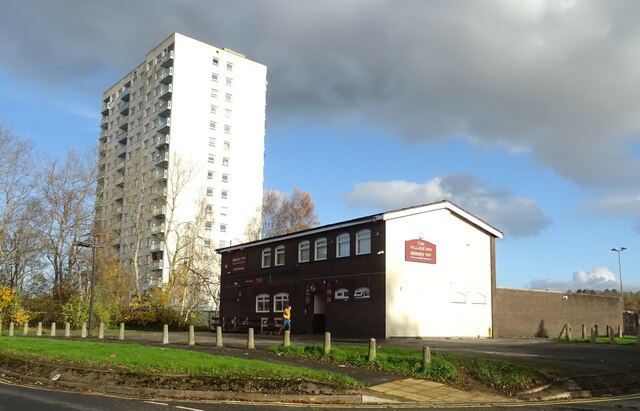
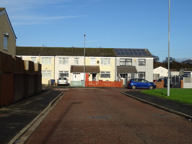
Horse Hey Plantation Images
Images are sourced within 2km of 53.434927/-2.8475226 or Grid Reference SJ4393. Thanks to Geograph Open Source API. All images are credited.


Horse Hey Plantation is located at Grid Ref: SJ4393 (Lat: 53.434927, Lng: -2.8475226)
Unitary Authority: Knowsley
Police Authority: Merseyside
What 3 Words
///trim.pints.case. Near Knowsley, Merseyside
Nearby Locations
Related Wikis

Metropolitan Borough of Knowsley
The Metropolitan Borough of Knowsley is a metropolitan borough in Merseyside, North West England. It covers several towns and villages, including Kirkby...
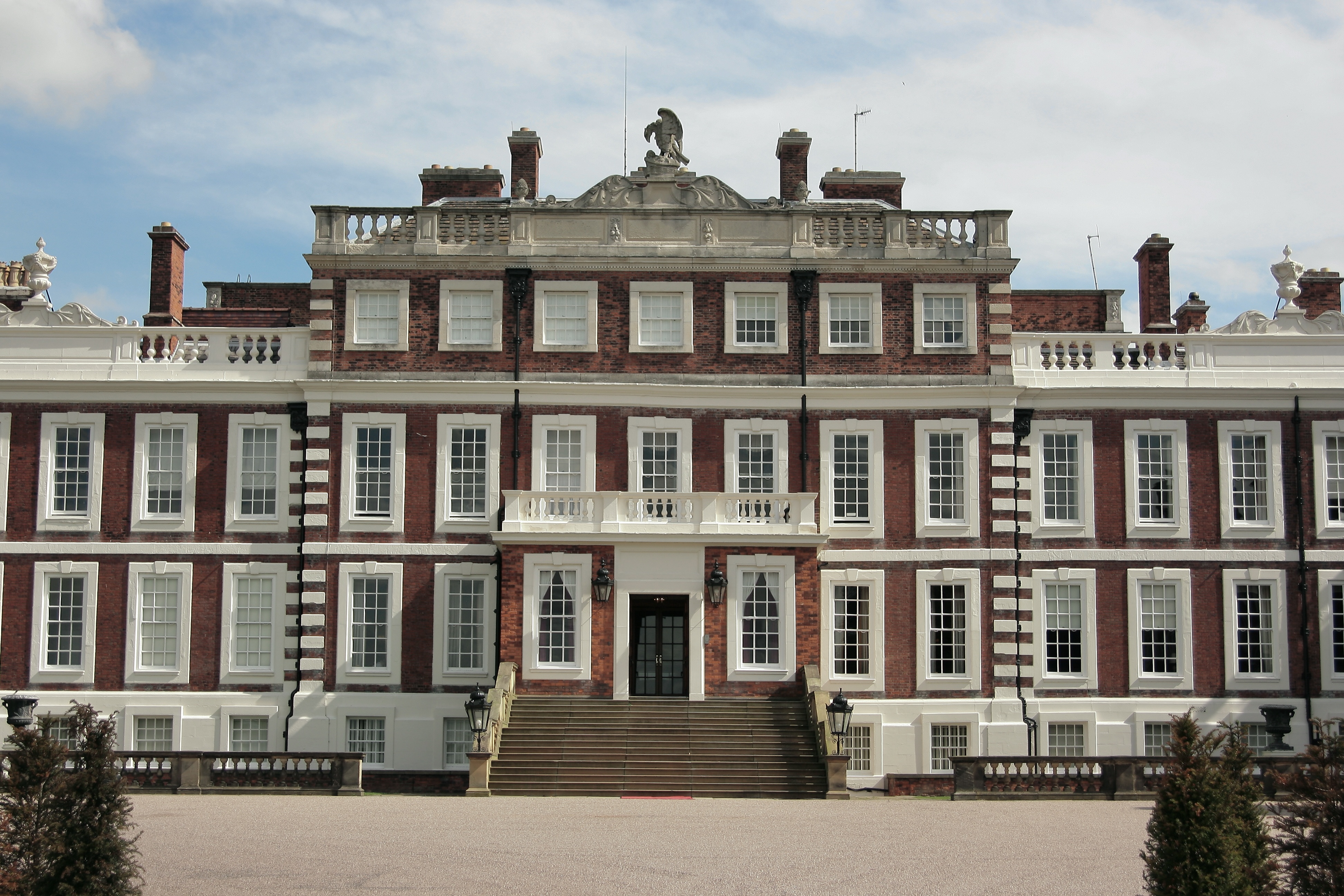
Knowsley Hall
Knowsley Hall is a stately home near Liverpool in the Metropolitan Borough of Knowsley, Merseyside, England. It is the ancestral home of the Stanley family...

Stockbridge Village
Stockbridge Village is an area of Knowsley in Merseyside, England. The population of the ward at the 2011 census was 6,018. It was the subject of an article...
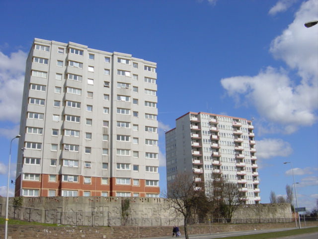
Knowsley Heights fire
The Knowsley Heights fire occurred in 1991 at the 11-story Knowsley Heights tower block in Huyton, Merseyside. No-one was injured in the fire. == Fire... ==
Nearby Amenities
Located within 500m of 53.434927,-2.8475226Have you been to Horse Hey Plantation?
Leave your review of Horse Hey Plantation below (or comments, questions and feedback).