Nursery Plantation

Wood, Forest in Lancashire

England

Nursery Plantation

Entrance to the Brookside development Situated off Deysbrook Lane in what was once the Croxteth Hall Estate and featuring Brookside Close, the filming location for the iconic Channel 4 soap opera which was transmitted from 1982 until 2001.  This painted sign has clearly seen better days.
Entrance to the Brookside development Credit: James T M Towill

Nursery Plantation is a charming woodland area located in Lancashire, England. Situated in the heart of the county, it covers an extensive area with an abundance of trees and vegetation. The plantation is known for its dense forest, making it a haven for nature enthusiasts and outdoor lovers alike.

The woodland of Nursery Plantation is comprised mainly of native tree species such as oak, birch, and beech, creating a diverse ecosystem that supports a wide range of flora and fauna. The trees stand tall and provide a picturesque landscape, especially during the autumn season when the leaves turn vibrant shades of red, orange, and gold.

The plantation is well-maintained, with designated walking trails and paths that allow visitors to explore the woodland at their leisure. The paths are lined with benches and picnic areas, providing opportunities for visitors to relax and enjoy the tranquil surroundings.

Nursery Plantation is not only a beautiful natural area but also serves as an important habitat for various wildlife species. Birdwatchers will have the chance to spot a variety of bird species, including woodpeckers, finches, and owls, while small mammals such as squirrels and rabbits can also be found within the woodland.

The plantation is easily accessible, with ample parking available for visitors. It is a popular destination for families, hikers, and nature lovers looking to escape the hustle and bustle of city life and immerse themselves in the peacefulness of the countryside. Nursery Plantation truly offers a serene retreat where one can reconnect with nature and experience the beauty of Lancashire's woodlands.

If you have any feedback on the listing, please let us know in the comments section below.

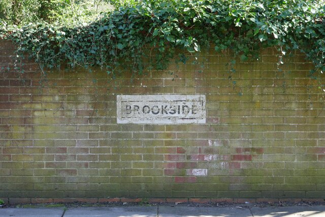
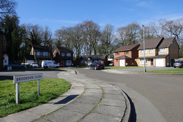
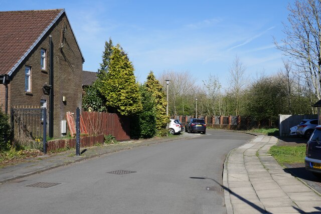
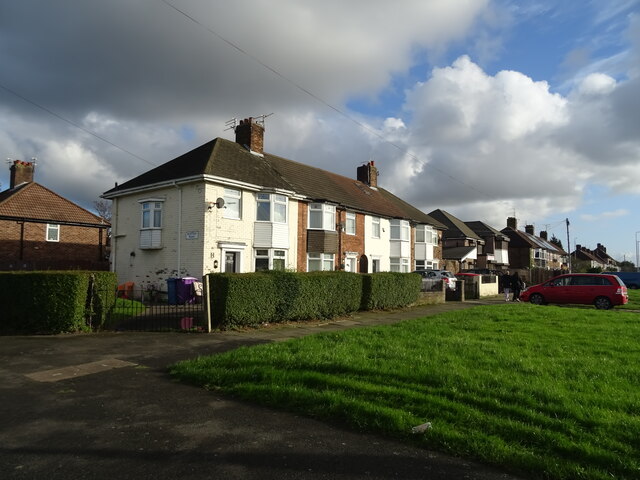
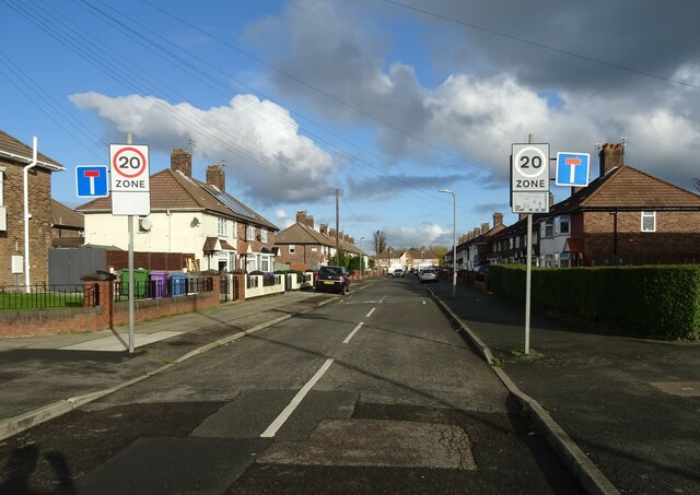
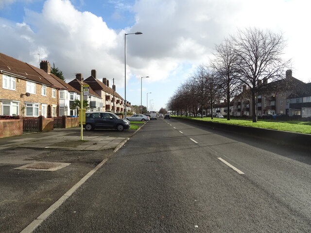
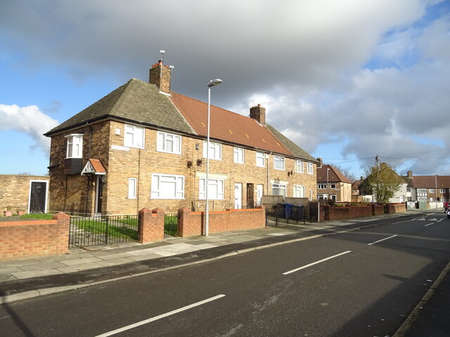
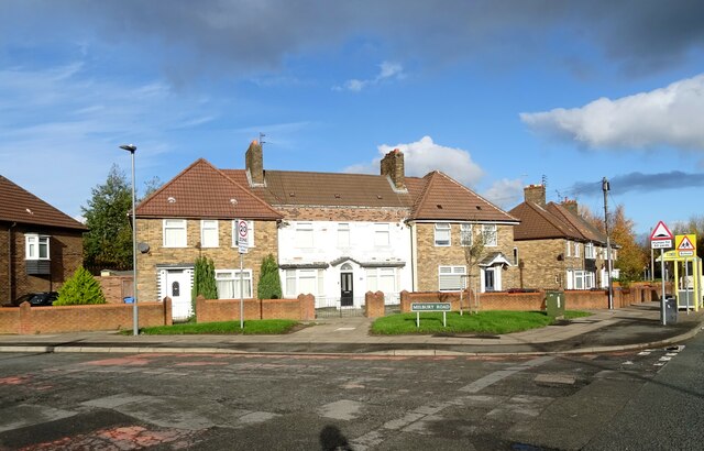
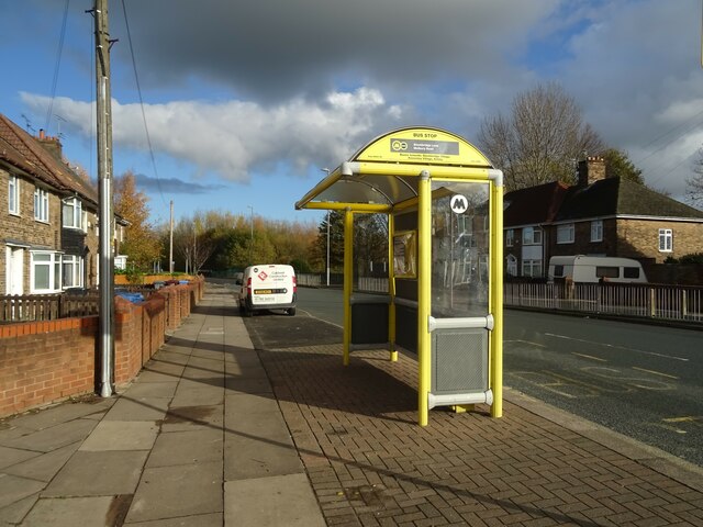
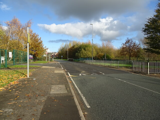
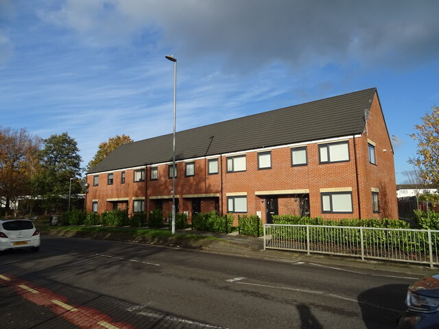
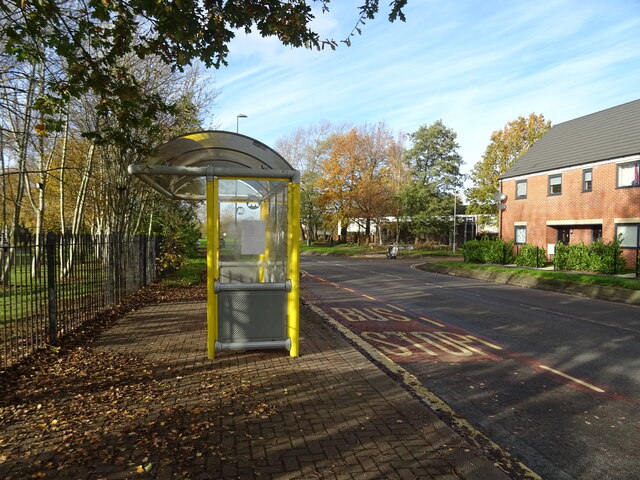
Nursery Plantation Images

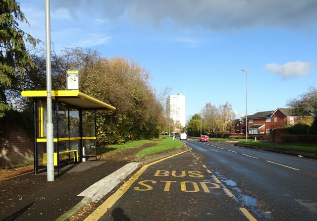
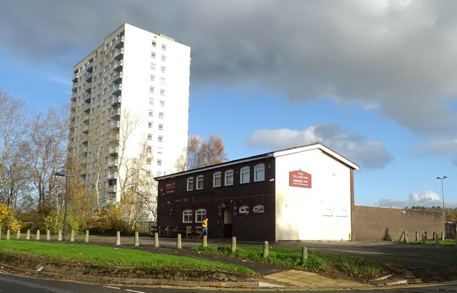
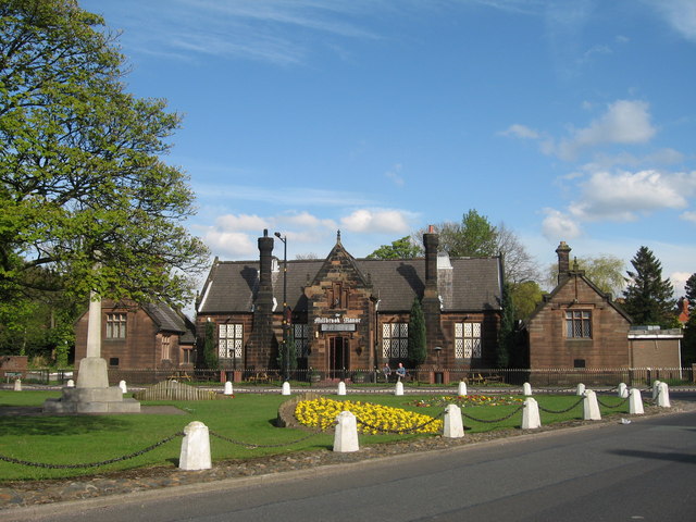
Images are sourced within 2km of 53.436725/-2.8525861 or Grid Reference SJ4393. Thanks to Geograph Open Source API. All images are credited.

Entrance to the Brookside development Situated off Deysbrook Lane in what was once the Croxteth Hall Estate and featuring Brookside Close, the filming location for the iconic Channel 4 soap opera which was transmitted from 1982 until 2001.  This painted sign has clearly seen better days.
Entrance to the Brookside development
Situated off Deysbrook Lane in what was once the Croxteth Hall Estate and featuring Brookside Close, the filming location for the iconic Channel 4 soap opera which was transmitted from 1982 until 2001. This painted sign has clearly seen better days.
Brookside Close: scene of many a scene! Brookside Close as featured in the iconic Channel 4 soap opera from 1982 until 2001.  After the cessation of the series, the cul-de-sac fell into disrepair but was later regenerated providing private housing as seen today.  The Brookside development is located off Deysbrook Lane in the West Derby suburb of Liverpool.
Brookside Close: scene of many a scene!
Brookside Close as featured in the iconic Channel 4 soap opera from 1982 until 2001. After the cessation of the series, the cul-de-sac fell into disrepair but was later regenerated providing private housing as seen today. The Brookside development is located off Deysbrook Lane in the West Derby suburb of Liverpool.
Brookside: former security gate remains The remains of the security gate at the former entrance to the Channel 4 soap opera 'Brookside' set can be noted to the left next to the gable end of the house.
Brookside: former security gate remains
The remains of the security gate at the former entrance to the Channel 4 soap opera 'Brookside' set can be noted to the left next to the gable end of the house.
Houses on Princess Drive L14
Burtree Road L14
Burtree Road L14
Bus top on Princess Drive L14
New housing on Princess Drive L14
Houses on Barkbeth Road, L36
Houses on Melbury Road / Stocksbridge Lane
Bus stop and shelter on Stocksbridge Lane
Stocksbridge Lane (B5198)
New houses on Waterpark Drive, L28
Bus stop and shelter on Waterpark Drive, L28
Bus stop and shelter on Haswell Drive, L28
The Village Inn
The Village Inn
Hollow Croft, L28
Hollow Croft, L28
Path towards Knowsley Brook
National Cycle Network Route 862
Show me another place!

Nursery Plantation is located at Grid Ref: SJ4393 (Lat: 53.436725, Lng: -2.8525861)

Unitary Authority: Knowsley

Police Authority: Merseyside

What 3 Words

///exit.meal.wacky. Near Knowsley, Merseyside

Related Wikis

Metropolitan Borough of Knowsley

The Metropolitan Borough of Knowsley is a metropolitan borough in Merseyside, North West England. It covers several towns and villages, including Kirkby...

Stockbridge Village

Stockbridge Village is an area of Knowsley in Merseyside, England. The population of the ward at the 2011 census was 6,018. It was the subject of an article...
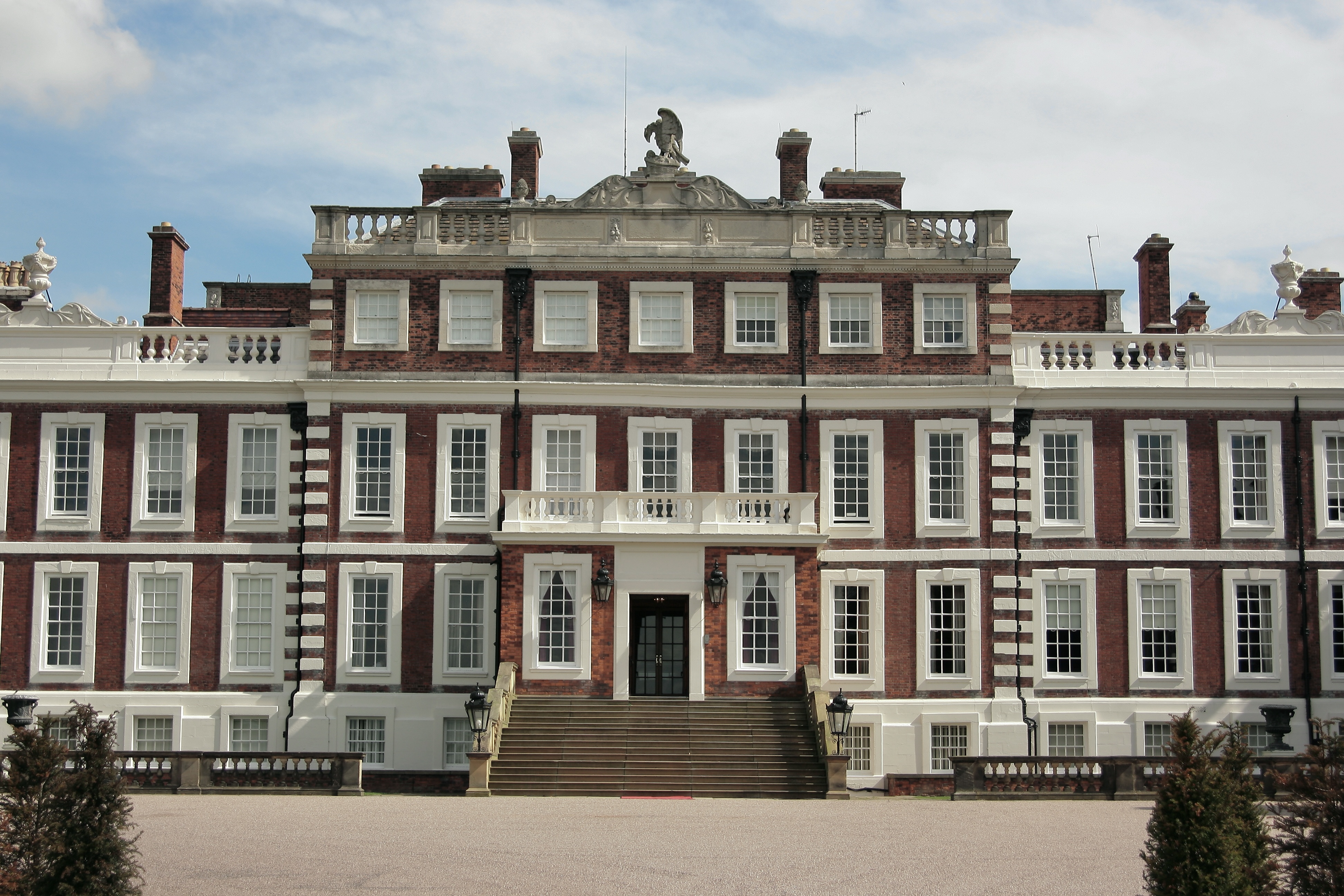
Knowsley Hall

Knowsley Hall is a stately home near Liverpool in the Metropolitan Borough of Knowsley, Merseyside, England. It is the ancestral home of the Stanley family...

Knowsley, Merseyside

Knowsley is a large village and civil parish in the Metropolitan Borough of Knowsley, Merseyside, England, commonly known as Knowsley Village.Within the...

Nearby Amenities

Located within 500m of 53.436725,-2.8525861
Motorway Junction
Huyton Spur
Exit To: Huyton
Ref: 3
Lat/Long: 53.4399246/-2.8573854
Turning Circle
Lat/Long: 53.4338245/-2.8539135
Turning Circle
Lat/Long: 53.4337447/-2.8538041
Bus Stop
KNOWSLEY LANE
Bus: yes
Naptan AtcoCode: 2800S51001A
Naptan Bearing: N
Naptan CommonName: KNOWSLEY LANE
Naptan Indicator: KNOWSLEY LANE
Naptan Landmark: O/S KWSLEY ROAD FARM
Naptan NaptanCode: merdwatw
Naptan Notes: No Notes
Naptan PlusbusZoneRef: LVRPLCH
Naptan ShortCommonName: Knowsley Ln
Naptan Street: KNOWSLEY LANE
Naptan Verified: no
Public Transport: platform
Source: naptan_import
Lat/Long: 53.437827/-2.8539833
Bus Stop
KNOWSLEY LANE
Bus: yes
Naptan AtcoCode: 2800S51001B
Naptan Bearing: S
Naptan CommonName: KNOWSLEY LANE
Naptan Indicator: KNOWSLEY LANE
Naptan Landmark: ALMOST OPP KWSLEY ROAD FARM
Naptan NaptanCode: merdwawa
Naptan Notes: No Notes
Naptan PlusbusZoneRef: LVRPLCH
Naptan ShortCommonName: Knowsley Ln
Naptan Street: KNOWSLEY LANE
Naptan Verified: no
Public Transport: platform
Source: naptan_import
Lat/Long: 53.4381023/-2.8540466
Bus Stop
KNOWSLEY LANE
Bus: yes
Naptan AtcoCode: 2800S51002A
Naptan Bearing: N
Naptan CommonName: KNOWSLEY LANE
Naptan Indicator: KNOWSLEY LANE
Naptan Landmark: CORNER CROXTHETH LANE
Naptan NaptanCode: merdwawd
Naptan Notes: No Notes
Naptan PlusbusZoneRef: LVRPLCH
Naptan ShortCommonName: Knowsley Ln
Naptan Street: KNOWSLEY LANE
Naptan Verified: no
Public Transport: platform
Source: naptan_import
Lat/Long: 53.4406127/-2.8551694
Bus Stop
KNOWSLEY LANE/JCT. 3 M57
Bus: yes
Naptan AtcoCode: 2800S51129A
Naptan Bearing: N
Naptan CommonName: KNOWSLEY LANE/JCT. 3 M57
Naptan Indicator: KNOWSLEY LANE/JCT 3 M57
Naptan Landmark: PRIOR TO STOCKBRIDGE LANE WHEN TRAVENUELLING TOW
Naptan NaptanCode: merdwmtd
Naptan Notes: No Notes
Naptan PlusbusZoneRef: LVRPLCH
Naptan ShortCommonName: Stockbridge Ln
Naptan Street: KNOWSLEY LANE
Naptan Verified: no
Public Transport: platform
Source: naptan_import
Lat/Long: 53.4354351/-2.8524427
Bus Stop
KNOWSLEY LANE/JCT. 3 M57
Bus: yes
Naptan AtcoCode: 2800S51129B
Naptan Bearing: S
Naptan CommonName: KNOWSLEY LANE/JCT. 3 M57
Naptan Indicator: KNOWSLEY LANE/JCT 3 M57
Naptan Landmark: PRIOR TO STOCKBRIDGE LANE WHEN TRAVENUELLING TOW
Naptan NaptanCode: merdwmtg
Naptan Notes: No Notes
Naptan PlusbusZoneRef: LVRPLCH
Naptan ShortCommonName: Stockbridge Ln
Naptan Street: KNOWSLEY LANE
Naptan Verified: no
Public Transport: platform
Source: naptan_import
Lat/Long: 53.4354097/-2.8522164
Turning Circle
Lat/Long: 53.4329024/-2.8526566
Turning Circle
Lat/Long: 53.4328289/-2.852796
Turning Circle
Lat/Long: 53.4333626/-2.8532064
Turning Circle
Lat/Long: 53.4334154/-2.853311
Barrier: cycle_barrier
Lat/Long: 53.4328834/-2.8540509
Barrier: cycle_barrier
Lat/Long: 53.4330611/-2.8546624
Barrier: bollard
Lat/Long: 53.4357674/-2.8595977
Barrier: bollard
Lat/Long: 53.4357648/-2.8595759
Barrier: bollard
Lat/Long: 53.435904/-2.8595665
Barrier: bollard
Lat/Long: 53.4359152/-2.8595621
Barrier: cycle_barrier
Lat/Long: 53.4359144/-2.8595814
The data included in this document is from www.openstreetmap.org. The data is made available under ODbL.

Have you been to Nursery Plantation?

Leave your review of Nursery Plantation below (or comments, questions and feedback).