Castletown Rough
Wood, Forest in Cheshire
England
Castletown Rough
Castletown Rough, located in Cheshire, England, is a picturesque woodland area that stretches over several acres. The rough is part of the larger landscape known as the Cheshire Forest, which is renowned for its natural beauty and historic significance.
The wood is characterized by its dense tree cover, predominantly consisting of native species such as oak, beech, and birch. These trees create a captivating canopy, providing shade and shelter for the abundant wildlife that call Castletown Rough their home. The forest floor is carpeted with a rich variety of flora, including bluebells, primroses, and ferns, creating a vibrant and diverse ecosystem.
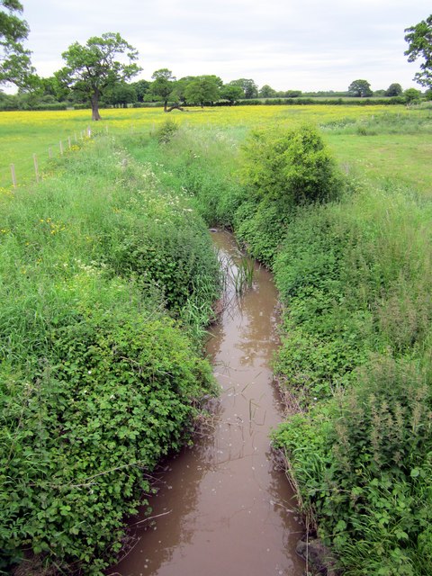
Within the wood, there are several well-maintained footpaths that wind their way through the trees, allowing visitors to explore the natural wonders at their own pace. Additionally, Castletown Rough is intersected by a charming stream, which adds to the tranquility of the surroundings and provides a habitat for various aquatic creatures.
The wood is rich in history, with evidence of human presence dating back centuries. Ruins of an ancient castle, believed to have been built in the medieval era, can still be seen within the rough. These remnants of the past add an air of mystery and intrigue to the area, attracting history enthusiasts and curious explorers alike.
Castletown Rough offers visitors a peaceful retreat from the bustling city life, providing a serene and rejuvenating experience in the heart of nature. With its enchanting woodland, diverse wildlife, and a touch of history, this Cheshire gem is a must-visit destination for nature lovers and history buffs.
If you have any feedback on the listing, please let us know in the comments section below.
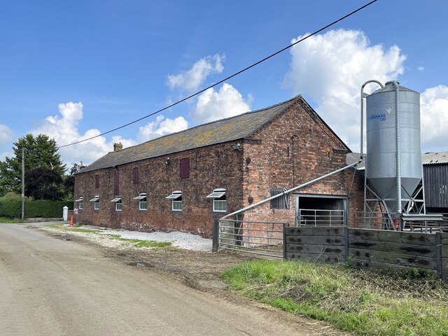
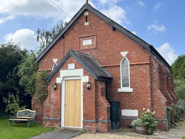
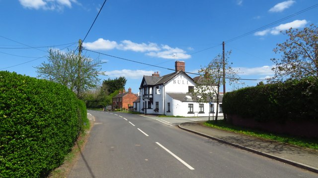
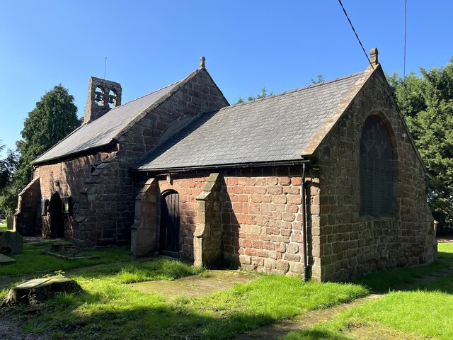
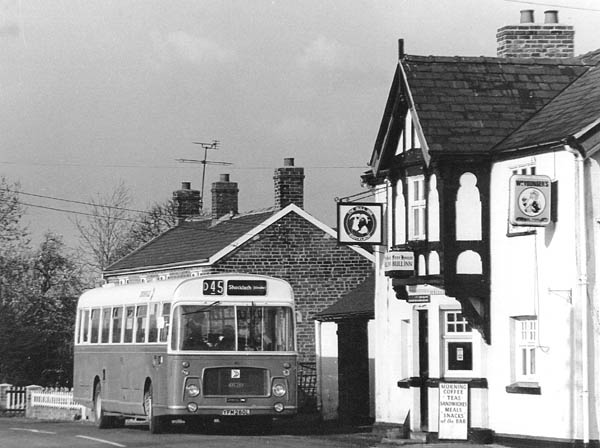
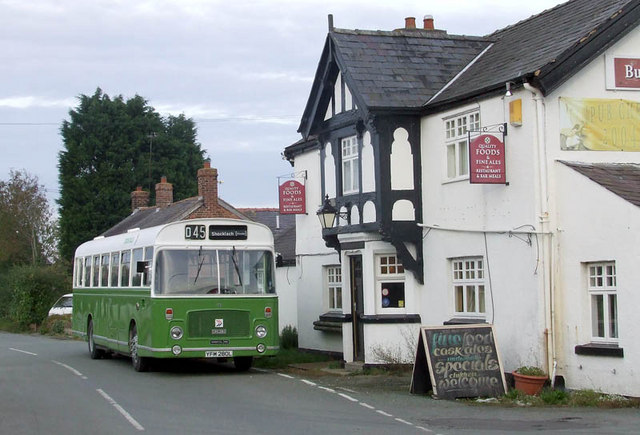
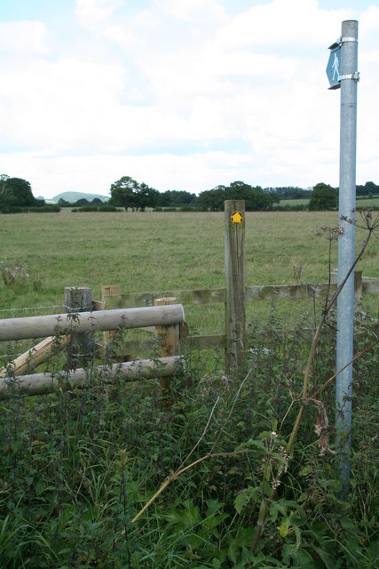
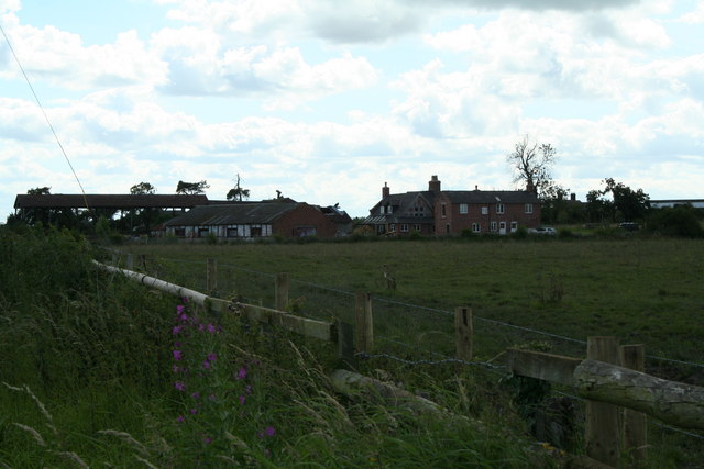
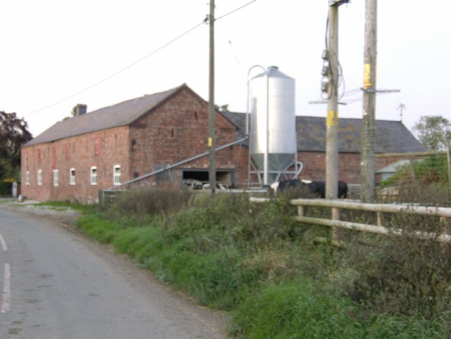
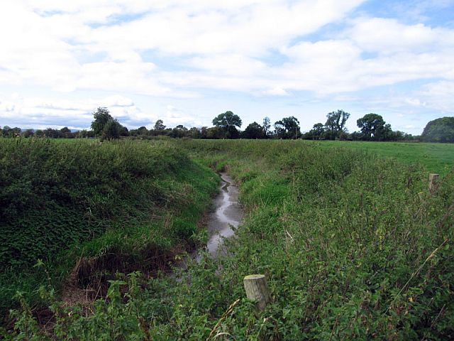
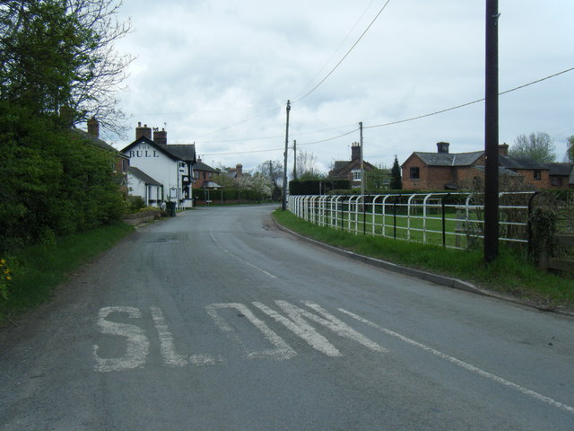
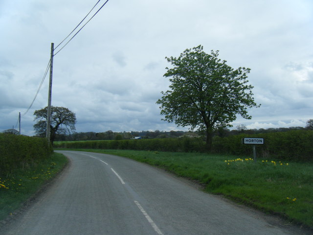
Castletown Rough Images
Images are sourced within 2km of 53.051227/-2.8476709 or Grid Reference SJ4350. Thanks to Geograph Open Source API. All images are credited.
Castletown Rough is located at Grid Ref: SJ4350 (Lat: 53.051227, Lng: -2.8476709)
Unitary Authority: Cheshire West and Chester
Police Authority: Cheshire
What 3 Words
///cherished.rooster.mobile. Near Holt, Wrexham
Nearby Locations
Related Wikis
Caldecott, Cheshire
Caldecott is a former civil parish, now in the parish of Shocklach Oviatt and District, in the Borough of Cheshire West and Chester and ceremonial county...

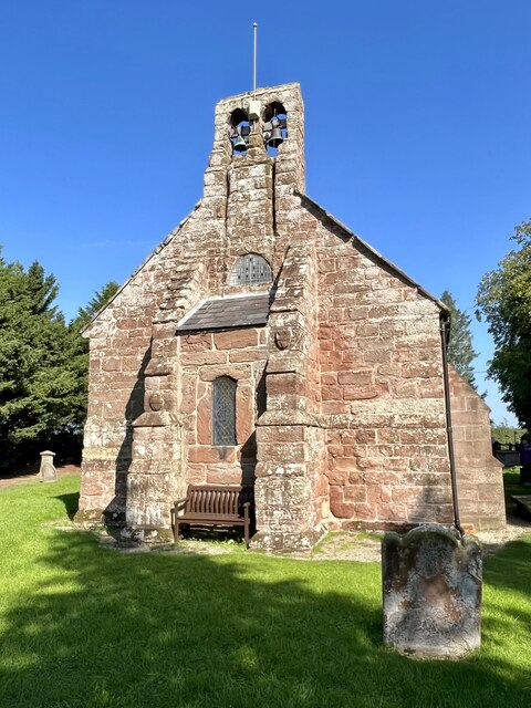
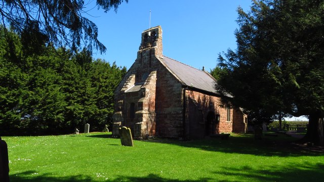
St Edith's Church, Shocklach
St Edith's Church, Shocklach, stands at the end of an isolated lane running toward the River Dee about 1 mile (2 km) to the north of the village of Shocklach...

Castletown, Cheshire
Castletown in the civil parish of Shocklach Oviatt and District, in Cheshire, England is a deserted village located at SJ43885110 whose sole remains are...

Church Shocklach
Church Shocklach is a former civil parish, now in the parish of Shocklach Oviatt and District, in the Borough of Cheshire West and Chester and ceremonial...

Shocklach Oviatt and District
Shocklach Oviatt and District is a civil parish in the Cheshire West and Chester unitary authority, in the county of Cheshire, England. The parish was...

Grafton, Cheshire
Grafton is a former civil parish, now in the parish of Tilston, in the Cheshire West and Chester district and ceremonial county of Cheshire in England...

Wych Brook
The Wych Brook, Worthenbury Brook and Red Brook, formerly known as the River Elfe, is a tributary of the River Dee in England and Wales, forming part of...

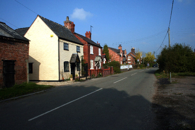
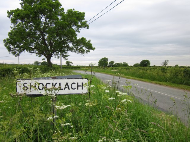
Shocklach
Shocklach is a village in the civil parish of Shocklach Oviatt and District, in the Cheshire West and Chester district, in the county of Cheshire, England...
Nearby Amenities
Located within 500m of 53.051227,-2.8476709Have you been to Castletown Rough?
Leave your review of Castletown Rough below (or comments, questions and feedback).