Lords Fields
Downs, Moorland in Cheshire
England
Lords Fields
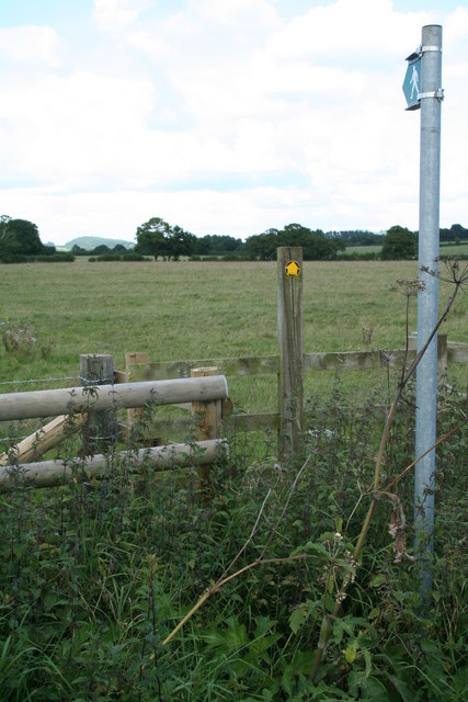
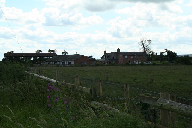
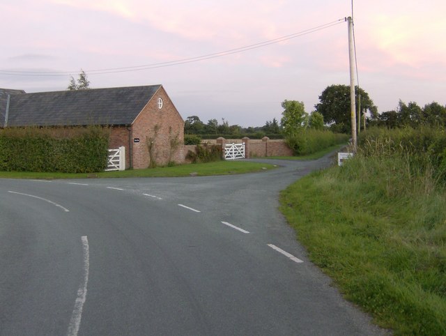
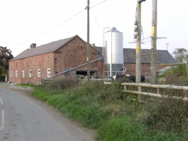
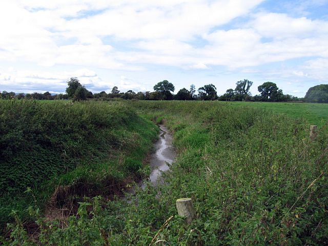
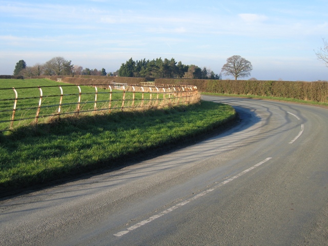
Lords Fields is a picturesque area located in Cheshire, England, encompassing both downs and moorland landscapes. Stretching over a vast expanse of land, this region offers a diverse range of natural beauty and ecological richness.
The downs of Lords Fields are characterized by rolling hills covered with lush green grass, creating a serene and idyllic setting. These undulating terrains are interspersed with small clusters of trees that provide shade and shelter for various wildlife species. The downs offer ample opportunities for leisurely walks, picnics, and outdoor activities, attracting both locals and tourists alike.
In contrast, the moorland areas of Lords Fields present a more rugged and wild environment. Typically covered with heather and gorse, the moors offer a unique and breathtaking sight, particularly during the blooming seasons when the landscape is painted in vibrant hues. This habitat supports a range of flora and fauna, including rare bird species such as the merlin and the golden plover.
Lords Fields is not only known for its natural beauty but also for its historical significance. The area is home to several archaeological sites, including ancient burial mounds and stone circles, providing insights into the rich heritage of the region.
Overall, Lords Fields in Cheshire offers visitors a chance to immerse themselves in the tranquility of nature, while also exploring the fascinating history of the area. Whether one seeks a peaceful retreat or an opportunity for adventure, this region has something to offer for everyone.
If you have any feedback on the listing, please let us know in the comments section below.
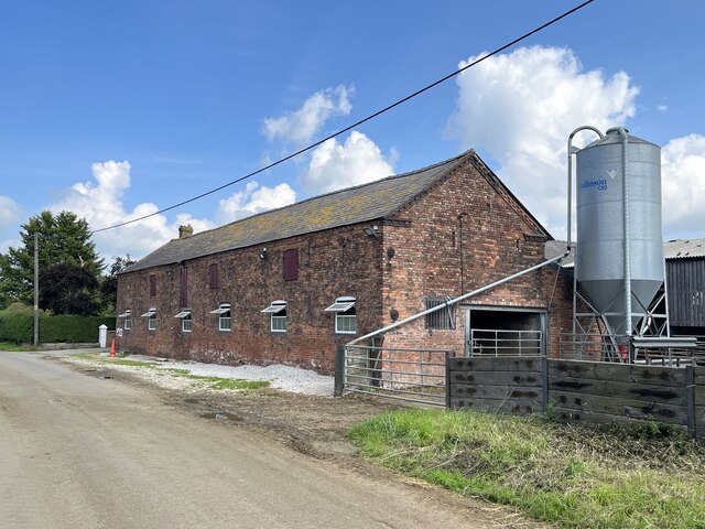
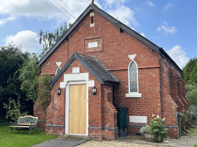
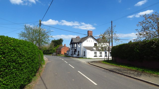
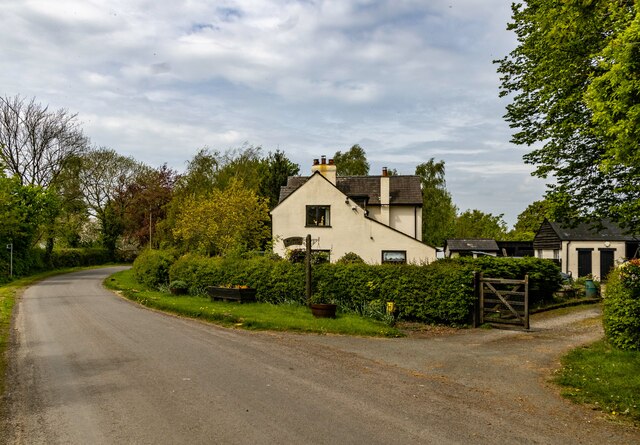
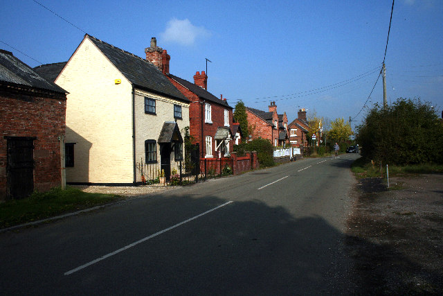
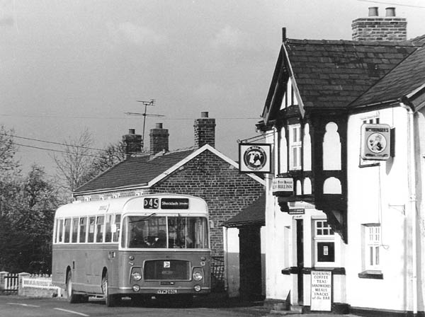
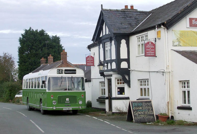
Lords Fields Images
Images are sourced within 2km of 53.049755/-2.8410482 or Grid Reference SJ4350. Thanks to Geograph Open Source API. All images are credited.


Lords Fields is located at Grid Ref: SJ4350 (Lat: 53.049755, Lng: -2.8410482)
Unitary Authority: Cheshire West and Chester
Police Authority: Cheshire
What 3 Words
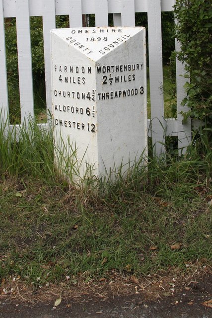
///squeaking.delay.basic. Near Holt, Wrexham
Nearby Locations
Related Wikis

Castletown, Cheshire
Castletown in the civil parish of Shocklach Oviatt and District, in Cheshire, England is a deserted village located at SJ43885110 whose sole remains are...

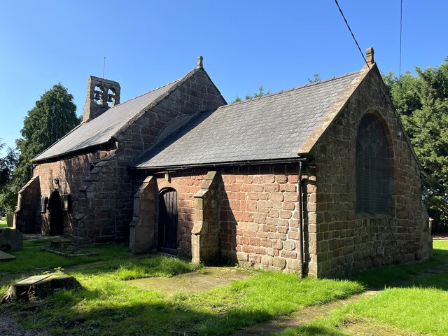
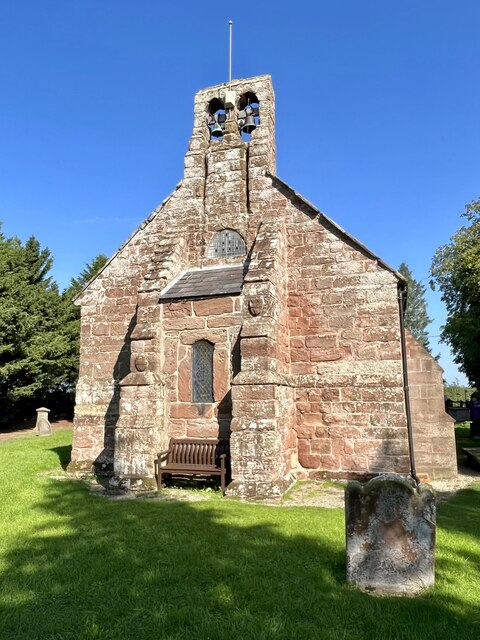
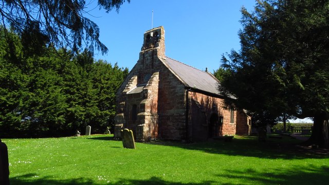
St Edith's Church, Shocklach
St Edith's Church, Shocklach, stands at the end of an isolated lane running toward the River Dee about 1 mile (2 km) to the north of the village of Shocklach...
Caldecott, Cheshire
Caldecott is a former civil parish, now in the parish of Shocklach Oviatt and District, in the Borough of Cheshire West and Chester and ceremonial county...

Shocklach Oviatt and District
Shocklach Oviatt and District is a civil parish in the Cheshire West and Chester unitary authority, in the county of Cheshire, England. The parish was...

Grafton, Cheshire
Grafton is a former civil parish, now in the parish of Tilston, in the Cheshire West and Chester district and ceremonial county of Cheshire in England...

Church Shocklach
Church Shocklach is a former civil parish, now in the parish of Shocklach Oviatt and District, in the Borough of Cheshire West and Chester and ceremonial...

Shocklach
Shocklach is a village in the civil parish of Shocklach Oviatt and District, in the Cheshire West and Chester district, in the county of Cheshire, England...

Wych Brook
The Wych Brook, Worthenbury Brook and Red Brook, formerly known as the River Elfe, is a tributary of the River Dee in England and Wales, forming part of...
Nearby Amenities
Located within 500m of 53.049755,-2.8410482Have you been to Lords Fields?
Leave your review of Lords Fields below (or comments, questions and feedback).