Upper Marsh Covert

Wood, Forest in Herefordshire

England

Upper Marsh Covert

Country lane to Wootton Farm A poultry business at the foot of Beacon Hill.
Country lane to Wootton Farm Credit: Jonathan Billinger

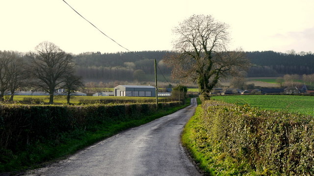
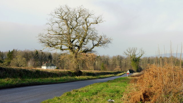
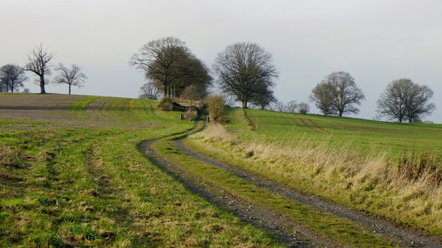
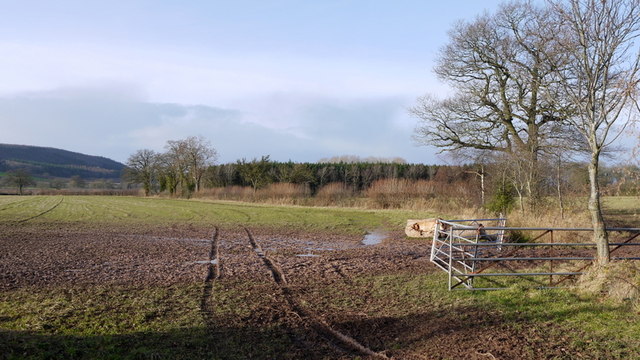
Upper Marsh Covert is a picturesque woodland located in Herefordshire, England. This enchanting forest covers an area of approximately 200 acres and is renowned for its natural beauty and diverse range of flora and fauna. It is nestled in the heart of the Herefordshire countryside, making it a popular destination for nature enthusiasts and outdoor adventurers.

The woodland is predominantly composed of mature deciduous trees, including oak, beech, and ash, which provide a dense canopy that filters sunlight, creating a tranquil and shaded atmosphere. The forest floor is covered with a rich carpet of wildflowers and ferns, adding to the magical ambiance of the covert.

Upper Marsh Covert is home to a wide variety of wildlife species, making it a haven for animal lovers and birdwatchers. Visitors may encounter deer, badgers, foxes, and rabbits, as well as a plethora of bird species, such as woodpeckers, owls, and various songbirds. The woodland is also a breeding ground for butterflies and insects, further enhancing its ecological significance.

The woodland is crisscrossed by a network of walking trails, allowing visitors to explore its natural wonders at their own pace. These paths lead to hidden glades, babbling brooks, and secluded ponds, providing opportunities for peaceful contemplation and wildlife observation. The forest also offers picnic areas and benches, inviting visitors to relax and enjoy the serene surroundings.

Upper Marsh Covert is a cherished natural gem in Herefordshire, offering a tranquil escape from the hustle and bustle of everyday life. Its beauty and biodiversity make it a must-visit destination for those seeking a connection with nature and a peaceful retreat in the heart of the English countryside.

If you have any feedback on the listing, please let us know in the comments section below.

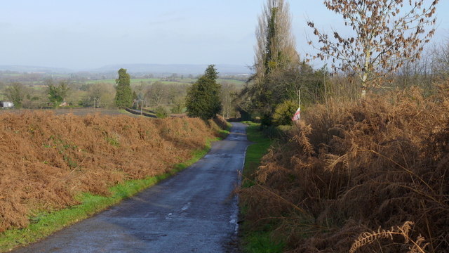
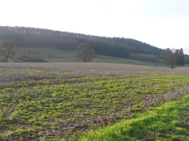
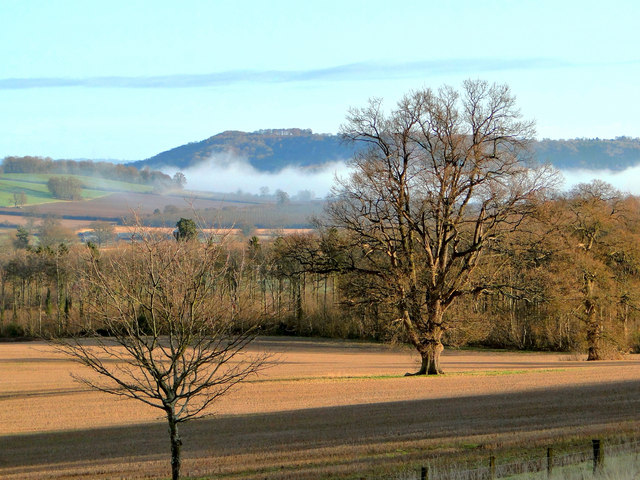
Upper Marsh Covert Images

Images are sourced within 2km of 52.155726/-2.8482963 or Grid Reference SO4251. Thanks to Geograph Open Source API. All images are credited.

Country lane to Wootton Farm A poultry business at the foot of Beacon Hill.
Country lane to Wootton Farm
A poultry business at the foot of Beacon Hill.
Weobley road at Ledgemoor The poorer soil of the 'moor' is indicated by the bracken in the road verges.
The house is Holly Bush.
Weobley road at Ledgemoor
The poorer soil of the 'moor' is indicated by the bracken in the road verges. The house is Holly Bush.
Track and footpath to Burton A lady walking her dogs up ahead on this fine December morning.
Track and footpath to Burton
A lady walking her dogs up ahead on this fine December morning.
The Moors Coniferous plantation on flat land between King's Pyon and Weobley.
The Moors
Coniferous plantation on flat land between King's Pyon and Weobley.
Road to Ledgemoor Poor quality land hereabouts indicated by the bracken.
Road to Ledgemoor
Poor quality land hereabouts indicated by the bracken.
Garnstone Wood and Park Bank Stubble left fallow in the foreground.
Garnstone Wood and Park Bank
Stubble left fallow in the foreground.
Lone oak, Garnstone Seen on Boxing Day morning. The mist still hangs over Westhope beyond.
Lone oak, Garnstone
Seen on Boxing Day morning. The mist still hangs over Westhope beyond.
Towards Garnstone Park Lake An ornamental lake in the grounds of a former country house which was demolished nearly 60 years ago.
The lake and a few exotic park trees are about all that you can see from the path.
Towards Garnstone Park Lake
An ornamental lake in the grounds of a former country house which was demolished nearly 60 years ago. The lake and a few exotic park trees are about all that you can see from the path.
Garnstone Park A road through what was once parkland around a big house.
Garnstone Park
A road through what was once parkland around a big house.
Garnstone Park Arable land in what was once the grounds of a large house. The wood in the background is part of an extensive area of woods on the isolated sandstone hills north of Hereford. It was used for the JK, a large and prestigious orienteering event in 1994.
Garnstone Park
Arable land in what was once the grounds of a large house. The wood in the background is part of an extensive area of woods on the isolated sandstone hills north of Hereford. It was used for the JK, a large and prestigious orienteering event in 1994.
Awaiting mowing, Ledgemoor Hay meadow near Weobley.
Awaiting mowing, Ledgemoor
Hay meadow near Weobley.
Hereford Road A steady climb over sandstone hills.
Hereford Road
A steady climb over sandstone hills.
Wootton Wootton in all its variations is a very common English place name. It is often given as a suffix to a hamlet a short distance from a village.
Wootton
Wootton in all its variations is a very common English place name. It is often given as a suffix to a hamlet a short distance from a village.
Wootton, near King's Pyon Wootton is a farm with a number of large buildings not all of which are on the OS Map. The farm is situated to the south-west of King's Pyon.
Wootton, near King's Pyon
Wootton is a farm with a number of large buildings not all of which are on the OS Map. The farm is situated to the south-west of King's Pyon.
Kennels Cottage, Ledgemoor An earlier cottage with a Victorian extension, now in use again as kennels. Fearsome looking canine occupants.
Kennels Cottage, Ledgemoor
An earlier cottage with a Victorian extension, now in use again as kennels. Fearsome looking canine occupants.
Kennels Cottage, Ledgemoor Another look at the local kennels
Kennels Cottage, Ledgemoor
Another look at the local kennels
Estate cottages, Ledgemoor With Chadnor Hill and Westhope in the background. A row of Garnstone estate workers cottages.
Estate cottages, Ledgemoor
With Chadnor Hill and Westhope in the background. A row of Garnstone estate workers cottages.
Hollybush, Ledgemoor The former Garnstone estate office, now back in agricultural use.
Hollybush, Ledgemoor
The former Garnstone estate office, now back in agricultural use.
Show me another place!

Upper Marsh Covert is located at Grid Ref: SO4251 (Lat: 52.155726, Lng: -2.8482963)

Unitary Authority: County of Herefordshire

Police Authority: West Mercia

What 3 Words

///chart.bluntly.vibrating. Near Weobley, Herefordshire

Related Wikis

Weobley High School

Weobley High School is a mixed secondary school located in Weobley in the English county of Herefordshire.It is a community school administered by Herefordshire...

Weobley Castle, Herefordshire

Weobley Castle was a ringwork and bailey castle in the English county of Herefordshire (grid reference SO40365135). The castle belonged to the De Lacy...

Weobley

Weobley ( WEB-lee) is an ancient settlement and civil parish in Herefordshire, England. Formerly a market town, the market is long defunct and the settlement...

King's Pyon

King's Pyon is a village and civil parish in the county of Herefordshire, England, and is approximately 8 miles (13 km) north-west from the city and county...

Have you been to Upper Marsh Covert?

Leave your review of Upper Marsh Covert below (or comments, questions and feedback).