Apperley Dene

Settlement in Northumberland

England

Apperley Dene

'Young Wood' between New Ridley and Apperley Dene
'Young Wood' between New Ridley and Apperley Dene Credit: Ann Hodgson

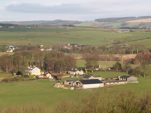
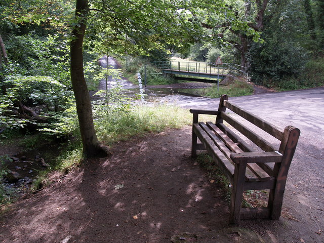
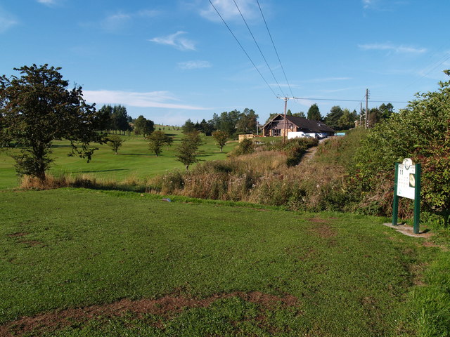
Apperley Dene is a picturesque area located in Northumberland, England. Situated on the southern bank of the River Tyne, it is renowned for its natural beauty and tranquil surroundings. The dene is a popular destination for both locals and tourists, thanks to its abundance of wildlife, stunning landscapes, and historical significance.

Covering an area of approximately 100 acres, Apperley Dene is a haven for nature enthusiasts. The dene is home to a variety of flora and fauna, including ancient oaks, wildflowers, and numerous bird species. It offers a peaceful escape from the hustle and bustle of everyday life, making it an ideal spot for walking, picnicking, and enjoying the outdoors.

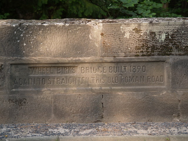
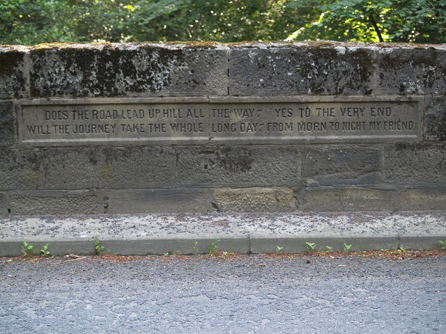
One of the key attractions of Apperley Dene is its rich history. The area has been inhabited since prehistoric times, and evidence of ancient settlements can still be seen today. Additionally, the dene is home to the ruins of Apperley Castle, a medieval fortification that dates back to the 12th century. These historical features add an extra layer of intrigue to the already captivating landscape.

Apperley Dene is easily accessible, with nearby parking facilities and well-maintained footpaths. The area is also a designated Site of Special Scientific Interest, highlighting its ecological importance. Whether visitors are seeking a peaceful stroll, a glimpse into the past, or a chance to connect with nature, Apperley Dene offers a truly memorable experience in the heart of Northumberland.

If you have any feedback on the listing, please let us know in the comments section below.

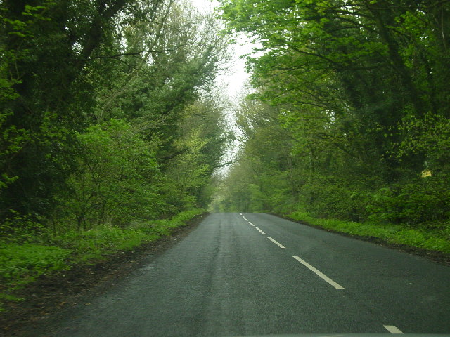
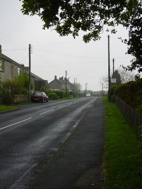
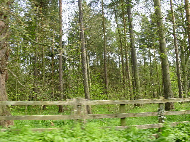
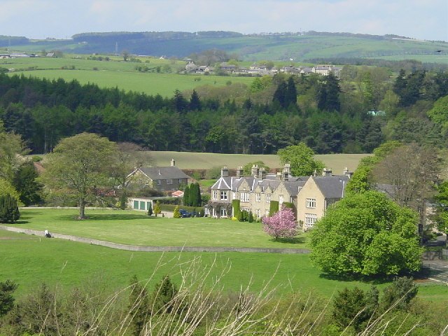
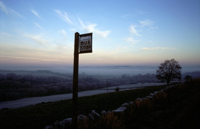
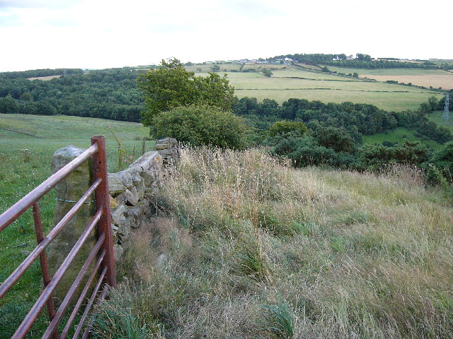
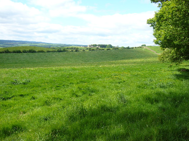
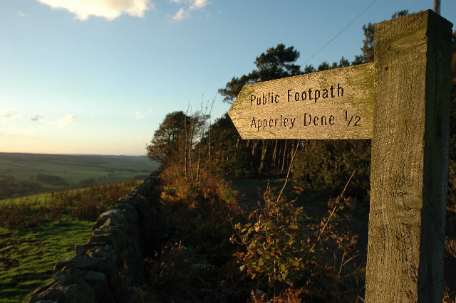
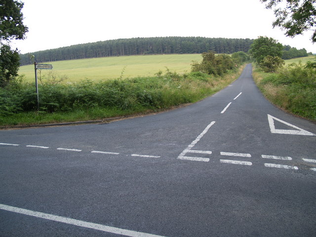
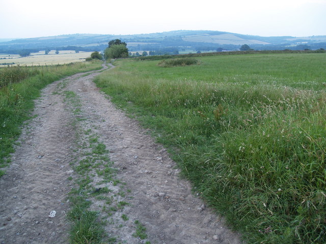
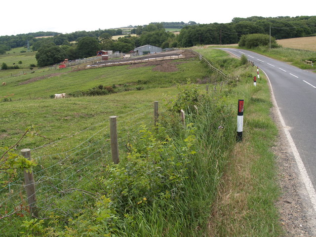
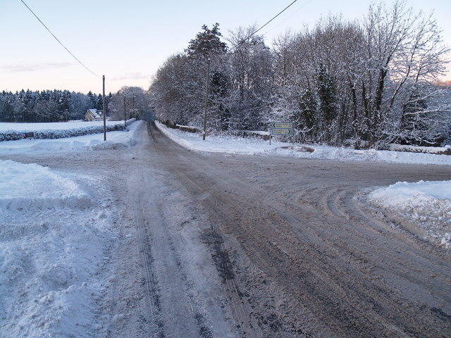
Apperley Dene Images

Images are sourced within 2km of 54.920469/-1.917121 or Grid Reference NZ0558. Thanks to Geograph Open Source API. All images are credited.

'Young Wood' between New Ridley and Apperley Dene
New Ridley village, not looking its best.
Woodland on the B6306 past Wheel Birks Bridge
Hindley from Bale Hill
Bus Stop, New Ridley
Whittonstall Village from Apperley Fell Looking south east towards Whittonstall Village from Apperley Fell.
Whittonstall Village from Apperley Fell
Looking south east towards Whittonstall Village from Apperley Fell.
B6309 From Whittonstall Looking towards Kipperlynn on the B6309 on true winter's day.
B6309 From Whittonstall
Looking towards Kipperlynn on the B6309 on true winter's day.
Apperley Fell Farmland Fields adjacent to Apperley Fell from below Hedley Grange Wood.
Apperley Fell Farmland
Fields adjacent to Apperley Fell from below Hedley Grange Wood.
View over Apperley Bank
Hindley near Stocksfield The hamlet of Hindley is in the foreground and just above is another hamlet called Brookside both residing in the Parish of Broomley and Stocksfield.
Hindley near Stocksfield
The hamlet of Hindley is in the foreground and just above is another hamlet called Brookside both residing in the Parish of Broomley and Stocksfield.
Watch Hill Road Junction on Lead Road Watch Hill is the pine wooded Hill visible to the south.
Watch Hill Road Junction on Lead Road
Watch Hill is the pine wooded Hill visible to the south.
Byway near Broomley Byway near Broomley which joins the A68 and B6309.
Byway near Broomley
Byway near Broomley which joins the A68 and B6309.
Looking East towards Whittonstall Looking East along the route of the Fell Road towards Whittonstall
Looking East towards Whittonstall
Looking East along the route of the Fell Road towards Whittonstall
B6309 and Dere Street Farm buildings The immediate foreground shows a recently layered hawthorn hedge.
On the top most horizon is the village of Whittonstall.
B6309 and Dere Street Farm buildings
The immediate foreground shows a recently layered hawthorn hedge. On the top most horizon is the village of Whittonstall.
Foot Bridge and Ford on Batt House Road
Stocksfield Golf Club and Course
Inscription on Wheelbirks Bridge (west side) Inscription on Wheelbirks Bridge which carries Dere Street over the Stocksfield Burn.
Inscription on Wheelbirks Bridge (west side)
Inscription on Wheelbirks Bridge which carries Dere Street over the Stocksfield Burn.
Inscription on Wheelbirks Bridge (east side) The inscription reads:
"Does the road lead up hill all the way. Yes to the very end.
Will the journey take the whole long day. From morn to night my friend."
Inscription on Wheelbirks Bridge (east side)
The inscription reads: "Does the road lead up hill all the way. Yes to the very end. Will the journey take the whole long day. From morn to night my friend."
Show me another place!

Apperley Dene is located at Grid Ref: NZ0558 (Lat: 54.920469, Lng: -1.917121)

Unitary Authority: Northumberland

Police Authority: Northumbria

What 3 Words

///cosmic.prestige.snores. Near Stocksfield, Northumberland

Related Wikis

Nearby Amenities

Located within 500m of 54.920469,-1.917121
Apperley Dene
Place: hamlet
Source: npe
Wikidata: Q4781037
Lat/Long: 54.9204475/-1.9166714
Power: tower
Lat/Long: 54.9233112/-1.9214459
Power: tower
Lat/Long: 54.9243517/-1.91815
Post Box
Ref: NE43 243
Lat/Long: 54.9195184/-1.9161392
Power: tower
Lat/Long: 54.9224924/-1.9152927
Power: tower
Lat/Long: 54.9204187/-1.912106
The data included in this document is from www.openstreetmap.org. The data is made available under ODbL.

Have you been to Apperley Dene?

Leave your review of Apperley Dene below (or comments, questions and feedback).