Skinner's Wood

Wood, Forest in Somerset Sedgemoor

England

Skinner's Wood

Shapwick Moor Nature reserve beside the Avalon Marshes. It is administered by The Hawk and Owl Trust.
Shapwick Moor Credit: Colin Smith

Skinner's Wood is a picturesque woodland situated in Somerset, England. Covering an area of approximately 100 acres, this enchanting forest offers a serene and tranquil environment for nature enthusiasts and hikers alike.

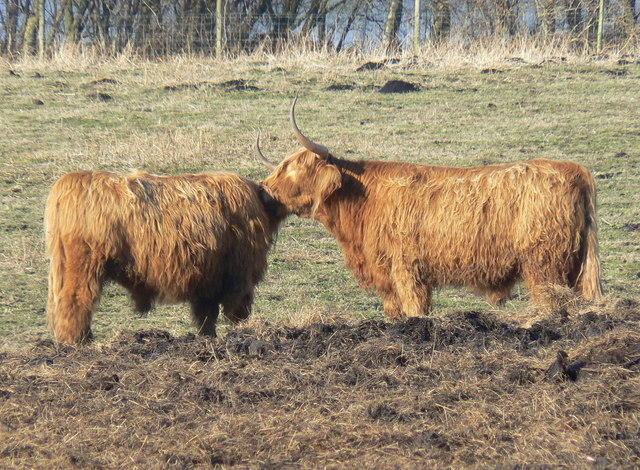
The wood is predominantly composed of native broadleaf trees, such as oak, beech, and ash, creating a dense and diverse canopy. The thick foliage provides ample shade and shelter for a variety of wildlife species, including birds, squirrels, and deer, making it a haven for nature lovers and photographers.

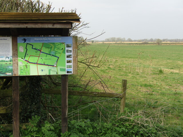
Skinner's Wood boasts a network of well-maintained footpaths and trails, allowing visitors to explore its scenic beauty at their own pace. The paths wind through the woodland, leading to hidden clearings and secluded spots that offer breathtaking views of the surrounding countryside.

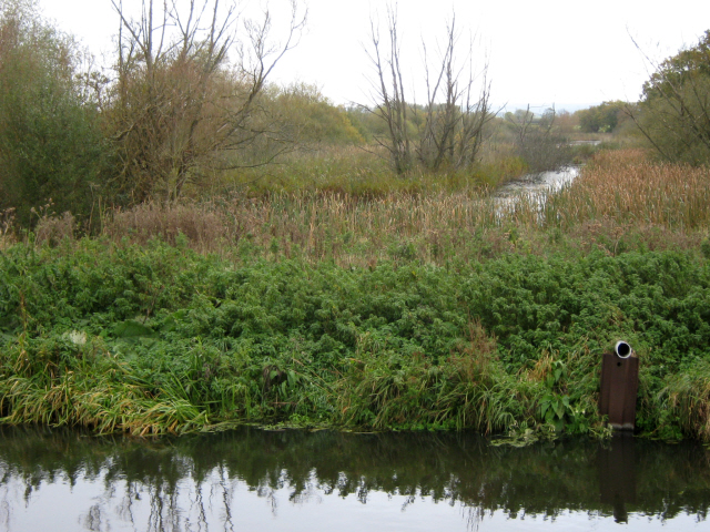
The wood is also home to a small stream, which meanders through the forest, adding to the enchanting atmosphere. The sound of flowing water and the gentle rustling of leaves create a soothing ambiance, perfect for a peaceful stroll or a picnic with family and friends.

Managed by local authorities, Skinner's Wood is carefully preserved to maintain its natural splendor. The management ensures the protection of the wood's biodiversity and the conservation of its ecosystem. Regular maintenance work is carried out, including tree planting and removal of invasive species, to ensure the longevity of this natural gem.

Overall, Skinner's Wood is a hidden gem in Somerset, offering visitors a chance to escape the hustle and bustle of everyday life and immerse themselves in the beauty of nature. Whether it's exploring the woodland trails, observing wildlife, or simply enjoying the tranquility, this enchanting forest never fails to captivate its visitors.

If you have any feedback on the listing, please let us know in the comments section below.

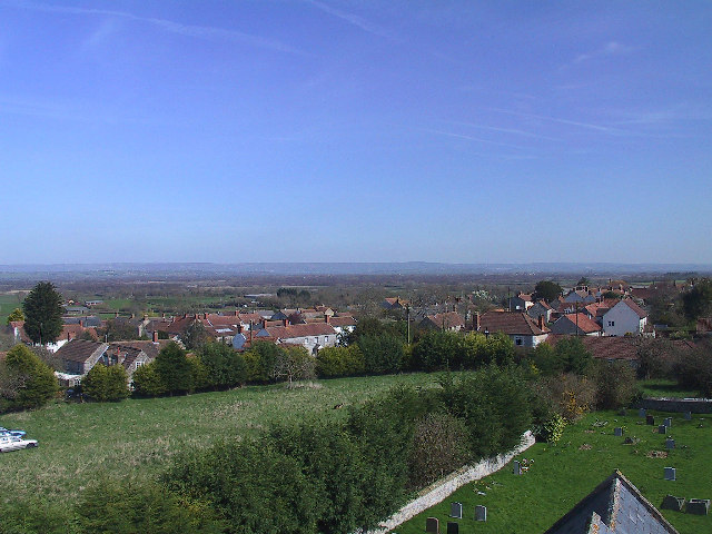
Skinner's Wood Images

Images are sourced within 2km of 51.162369/-2.8382942 or Grid Reference ST4140. Thanks to Geograph Open Source API. All images are credited.

Shapwick Moor Nature reserve beside the Avalon Marshes. It is administered by The Hawk and Owl Trust.
Shapwick Moor
Nature reserve beside the Avalon Marshes. It is administered by The Hawk and Owl Trust.
Shapwick Moor - Information Board Overlooking flat grassy land administered by The Hawk and Owl Trust.
Shapwick Moor - Information Board
Overlooking flat grassy land administered by The Hawk and Owl Trust.
Site of Shapwick Station Taken in June 1979, this photo shows the site of Shapwick Station which was on the Somerset & Dorset Railway between Evercreech Junction and Highbridge which closed to passenger service on the 6th March 1966. This view is looking westwards towards Highbridge. The postcode of this area is BA6 9TT.
Site of Shapwick Station
Taken in June 1979, this photo shows the site of Shapwick Station which was on the Somerset & Dorset Railway between Evercreech Junction and Highbridge which closed to passenger service on the 6th March 1966. This view is looking westwards towards Highbridge. The postcode of this area is BA6 9TT.
Bridge over the Glastonbury Canal, Shapwick Heath
The Glastonbury Canal passing through Westhay Heath
The Glastonbury Canal and Shapwick Heath
The Glastonbury Canal and Meare Heath
Peat mound
Peat mound
Sunset over Shapwick Heath
South Drain, Shapwick Heath
Dusk at Shapwick Heath
Cycle path through Shapwick Heath NCN 3 Cycle route follows the South Drain through Shapwick Heath National Nature Reserve.
Cycle path through Shapwick Heath
NCN 3 Cycle route follows the South Drain through Shapwick Heath National Nature Reserve.
Longhorn Cattle on Shapwick Heath NNR These cattle are kept by the tenant farmer on the Nature Reserve: they are well-adapted to the often boggy pastures and assist with the grassland management for species diversity.
Longhorn Cattle on Shapwick Heath NNR
These cattle are kept by the tenant farmer on the Nature Reserve: they are well-adapted to the often boggy pastures and assist with the grassland management for species diversity.
Flooded Peat Workings Westhay Level The extraction of peat extends well below the water table in these low lying easily flooded areas and it results in large ponds such as this one
Flooded Peat Workings Westhay Level
The extraction of peat extends well below the water table in these low lying easily flooded areas and it results in large ponds such as this one
Westhay: Roundhouse at Peat Moors Centre Replica Iron Age house built in 1992, the centenary of the discovery of the Glastonbury Lake Village. <span class="nowrap"><a title="http://www.somerset.gov.uk/somerset/cultureheritage/heritage/pmc/" rel="nofollow ugc noopener" href="http://www.somerset.gov.uk/somerset/cultureheritage/heritage/pmc/">Link</a><img style="margin-left:2px;" alt="External link" title="External link - shift click to open in new window" src="https://s1.geograph.org.uk/img/external.png" width="10" height="10"/></span>
Westhay: Roundhouse at Peat Moors Centre
Replica Iron Age house built in 1992, the centenary of the discovery of the Glastonbury Lake Village. LinkExternal link
The Sweet Track, Somerset Levels "The Sweet Track is an example of Neolithic engineering, 6000 years old. An elevated footpath that ran for almost 2km across the Somerset Levels." <span class="nowrap"><a title="http://easyweb.easynet.co.uk/~aburnham/eng/sweet.htm" rel="nofollow ugc noopener" href="http://easyweb.easynet.co.uk/~aburnham/eng/sweet.htm">Link</a><img style="margin-left:2px;" alt="External link" title="External link - shift click to open in new window" src="https://s1.geograph.org.uk/img/external.png" width="10" height="10"/></span>
The Sweet Track, Somerset Levels
"The Sweet Track is an example of Neolithic engineering, 6000 years old. An elevated footpath that ran for almost 2km across the Somerset Levels." LinkExternal link
Peat Works E J Goodwin (Peat Industries) Ltd
Peat Works
E J Goodwin (Peat Industries) Ltd
Show me another place!

Skinner's Wood is located at Grid Ref: ST4140 (Lat: 51.162369, Lng: -2.8382942)

Administrative County: Somerset

District: Sedgemoor

Police Authority: Avon and Somerset

What 3 Words

///weedy.treetop.gazes. Near Woolavington, Somerset

Nearby Locations

Skinner's Wood

Related Wikis

Sweet Track

The Sweet Track is an ancient trackway, or causeway, in the Somerset Levels, England, named after its finder, Ray Sweet. It was built in 3807 BC (determined...

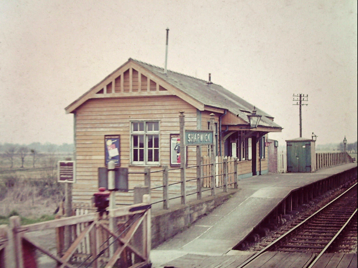
Shapwick railway station

Shapwick station was a railway station on the Highbridge branch of the Somerset and Dorset Joint Railway. Opened by the Somerset Central Railway in 1854...

Westhay Heath

Westhay Heath (grid reference ST415422) is a 25.9 hectare (64.0 acre) biological Site of Special Scientific Interest 2km west of Westhay village in Somerset...

Shapwick Hoard

The Shapwick Hoard is a hoard of 9,262 Roman coins found at Shapwick, Somerset, England in September 1998. The coins dated from as early as 31–30 BC up...

Shapwick Heath

Shapwick Heath is a 394.0-hectare (973.6 acre) biological Site of Special Scientific Interest and national nature reserve between Shapwick and Westhay...
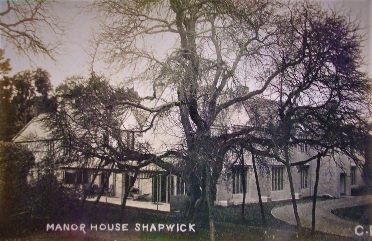
Shapwick Manor

Shapwick Manor at Shapwick in the English county of Somerset, is a medieval manor house, largely remodelled in the 19th century by Henry Strangways on...

Shapwick School

Shapwick School was a specialist school at Shapwick Manor in Shapwick, a village on the Somerset Levels in Somerset, England. In March 2020, it was announced...

Catcott

Catcott is a rural village and civil parish, situated close to Edington 7 miles (11.3 km) to the east of Bridgwater on the Somerset Levels to the north...

Nearby Amenities

Located within 500m of 51.162369,-2.8382942
Canada Hide
Leisure: bird_hide
Lat/Long: 51.1650906/-2.8395608
Barbara Handley Hide
Leisure: bird_hide
Lat/Long: 51.1599913/-2.8429463
Barrier: kissing_gate
Lat/Long: 51.1596846/-2.8422385
Information: board
Tourism: information
Lat/Long: 51.1596913/-2.8422625
Shapwick Heath
Tourism: information
Lat/Long: 51.1640042/-2.8381273
Shapwick Heath
Tourism: information
Lat/Long: 51.1625854/-2.8324779
Shapwick Heath
Tourism: information
Lat/Long: 51.162052/-2.8412152
The data included in this document is from www.openstreetmap.org. The data is made available under ODbL.

Have you been to Skinner's Wood?

Leave your review of Skinner's Wood below (or comments, questions and feedback).