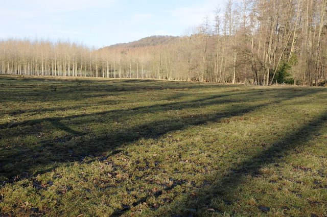
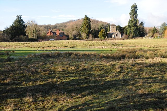
Ashmoor Plantation
Wood, Forest in Herefordshire
England
Ashmoor Plantation

The requested URL returned error: 429 Too Many Requests
If you have any feedback on the listing, please let us know in the comments section below.
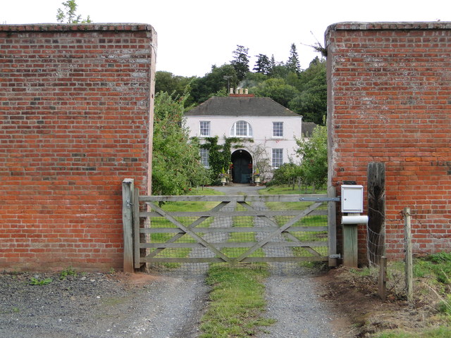
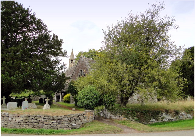
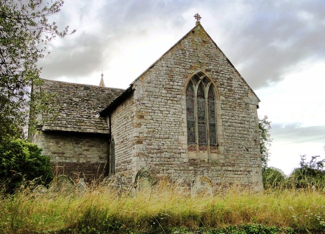
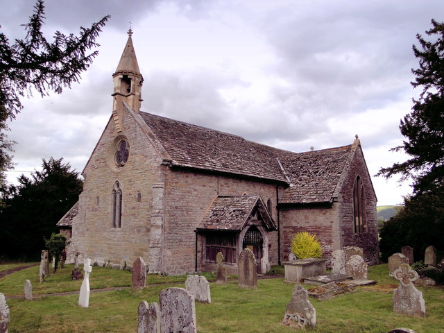
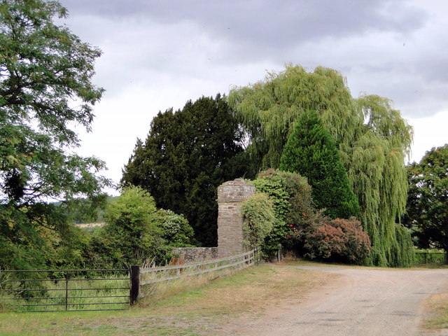
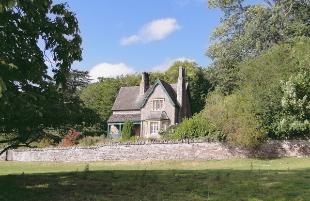
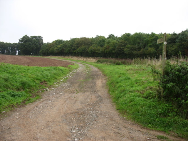
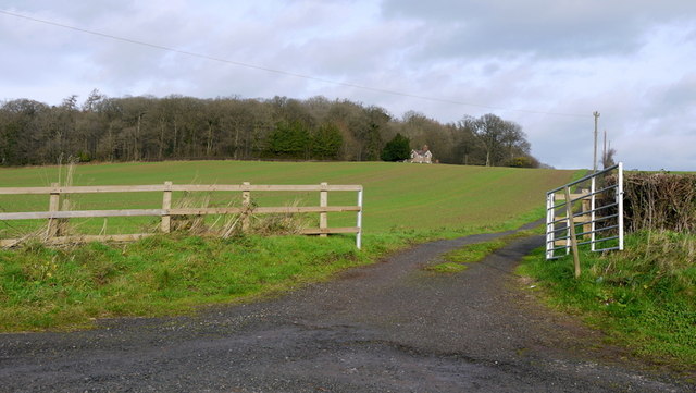
Ashmoor Plantation Images
Images are sourced within 2km of 52.098249/-2.8557306 or Grid Reference SO4144. Thanks to Geograph Open Source API. All images are credited.


Ashmoor Plantation is located at Grid Ref: SO4144 (Lat: 52.098249, Lng: -2.8557306)
Unitary Authority: County of Herefordshire
Police Authority: West Mercia
What 3 Words
///nylon.model.kidney. Near Yazor, Herefordshire
Nearby Locations
Related Wikis

Westmoor Flag railway station
Westmoor Flag railway station was a private station to the west of Mansel Lacy, Herefordshire, England. The station was opened in 1863 and may have closed...
Mansel Lacy
Mansel Lacy (alternatively spelled Mansell Lacy) is a small village and civil parish in Herefordshire, England. It is 7 miles (11 km) north west of Hereford...

Bishopstone, Herefordshire
Bishopstone is a village and civil parish in Herefordshire, England, 10 km (6.2 mi) west of Hereford, near the River Wye and the Roman town of Magnis....

Foxley, Herefordshire
Foxley is a rural estate, and the former Foxley Manor country seat, in Herefordshire, England. The Manor is associated with the judicial, political, artistic...
Have you been to Ashmoor Plantation?
Leave your review of Ashmoor Plantation below (or comments, questions and feedback).