Ashes Wood
Wood, Forest in Lancashire South Lakeland
England
Ashes Wood
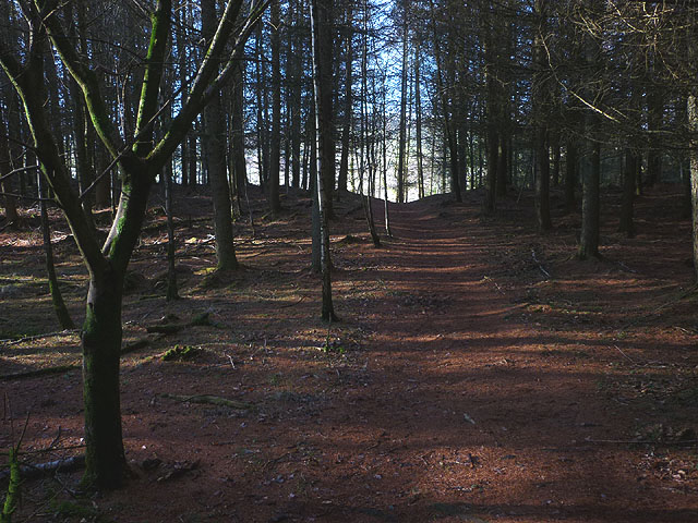
Ashes Wood is a picturesque forest located in the county of Lancashire, England. It is situated near the town of Burnley, and covers an area of approximately 100 acres. The wood is known for its natural beauty and tranquil atmosphere, making it a popular destination for nature lovers and outdoor enthusiasts.
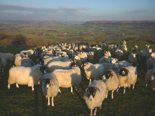
The wood is primarily composed of broadleaf trees, such as oak, birch, and beech, which create a dense canopy that provides shade and shelter for a variety of wildlife. It is home to a diverse range of flora and fauna, including rare species such as bluebells and woodpeckers. The forest floor is covered with a thick carpet of moss and ferns, adding to the enchanting ambiance of the wood.
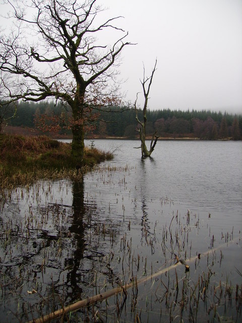
Several walking trails crisscross the wood, offering visitors the opportunity to explore its hidden treasures. These paths wind through the ancient trees, leading to secluded clearings and babbling brooks. The wood is also intersected by a small stream, which adds to the charm of the surroundings.
Ashes Wood is a peaceful retreat away from the hustle and bustle of urban life. It provides a haven for wildlife and offers visitors a chance to connect with nature. The wood is managed by a local conservation group, ensuring the preservation of its ecological integrity. It is open to the public throughout the year, allowing people to enjoy its beauty in all seasons.
Whether you are seeking a quiet stroll through the woods or a place to observe the wonders of nature, Ashes Wood is a destination that will captivate your senses and leave you with a deep appreciation for Lancashire's natural heritage.
If you have any feedback on the listing, please let us know in the comments section below.
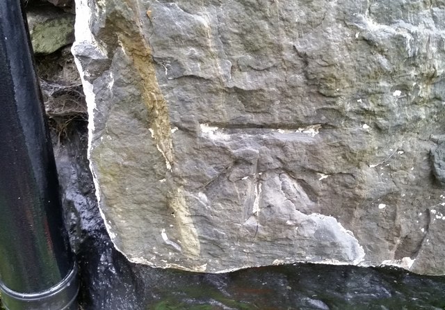
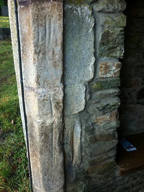
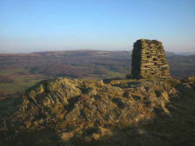
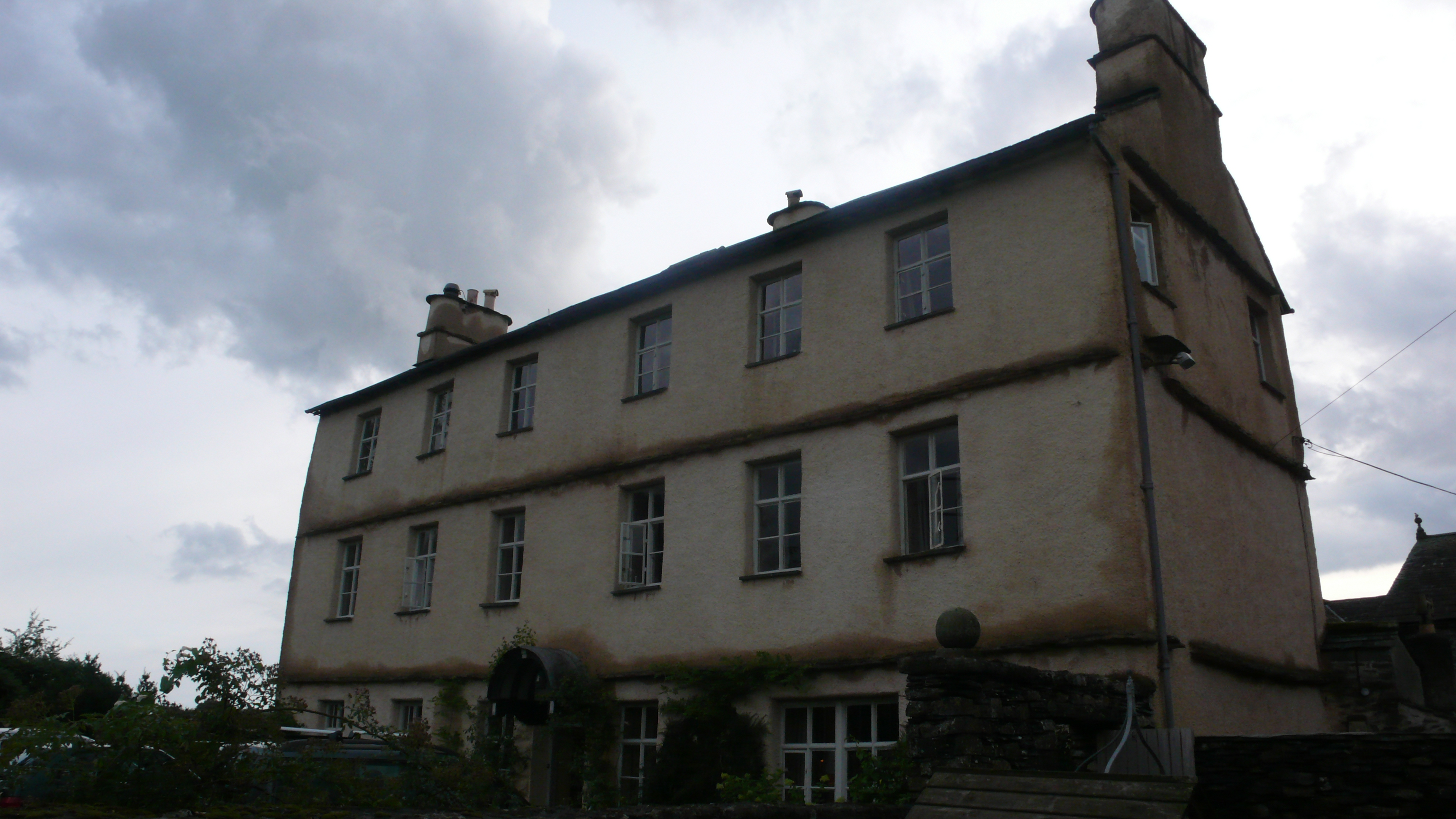
Ashes Wood Images
Images are sourced within 2km of 54.275081/-2.9052494 or Grid Reference SD4186. Thanks to Geograph Open Source API. All images are credited.


Ashes Wood is located at Grid Ref: SD4186 (Lat: 54.275081, Lng: -2.9052494)
Administrative County: Cumbria
District: South Lakeland
Police Authority: Cumbria
What 3 Words
///jaws.overture.baseless. Near Arnside, Cumbria
Related Wikis

Cartmel Fell
Cartmel Fell is a hamlet and a civil parish in the South Lakeland district of Cumbria, England. In the 2001 census the parish had a population of 309,...
St Anthony's Church, Cartmel Fell
St Anthony's Church, is in the village of Cartmel Fell, Cumbria, England. It is an active Anglican parish church in the deanery of Kendal, the archdeaconry...
Bowland Bridge
Bowland Bridge is a village in Cumbria, England. == See also == == External links == Media related to Bowland Bridge at Wikimedia Commons
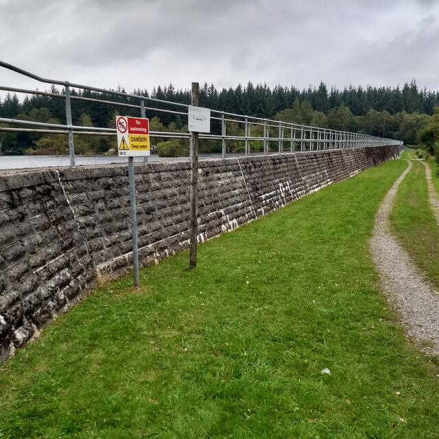
Simpson Ground Reservoir
Simpson Ground Reservoir is a reservoir in Cumbria, England, near the southeastern end of Windermere. It is located within a Forestry Commission conifer...

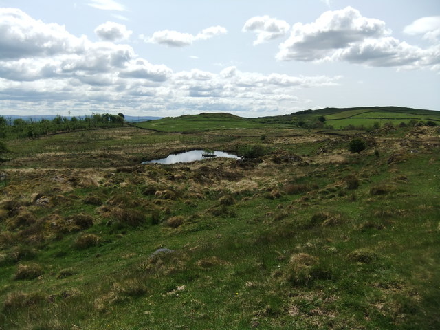
Heights Tarn
Heights Tarn is a small lake to the east of Windermere and north of Simpson Ground Reservoir, near Cartmel Fell, in the Lake District of Cumbria, England...
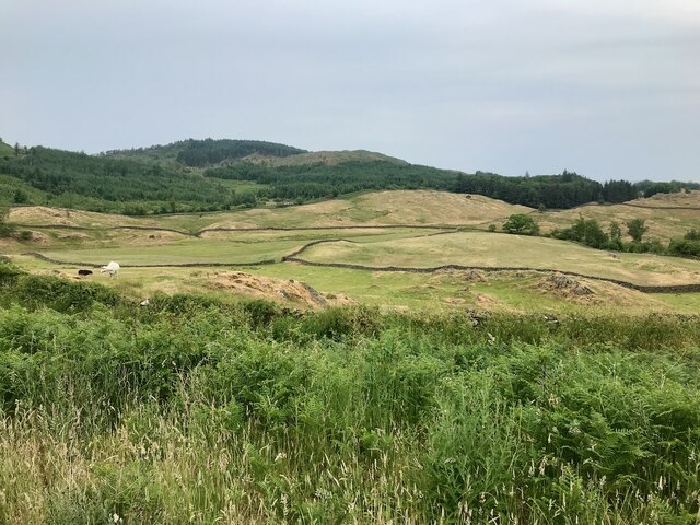
Staveley Fell
Staveley Fell is an upland area in the English Lake District, near (and named for) Staveley-in-Cartmel (not to be confused with Staveley-in-Westmorland...
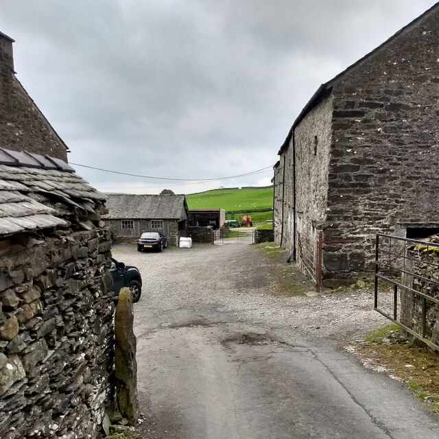
Cowmire Hall
Cowmire Hall is a country house near Crosthwaite in Cumbria, England. The hall, the garden wall and gate piers are recorded in the National Heritage List...
Oversands School
Oversands School (formerly Witherslack Hall School) is a private special school with specialist SEN status situated in the village of Witherslack near...
Nearby Amenities
Located within 500m of 54.275081,-2.9052494Have you been to Ashes Wood?
Leave your review of Ashes Wood below (or comments, questions and feedback).