Throphinsty New Plantation
Wood, Forest in Lancashire South Lakeland
England
Throphinsty New Plantation
Trophinisty New Plantation is a picturesque woodland area located in Lancashire, England. Spanning over several acres, this plantation is renowned for its dense and diverse forest ecosystem. The plantation is situated near the village of Trophinisty, surrounded by rolling hills and scenic countryside.
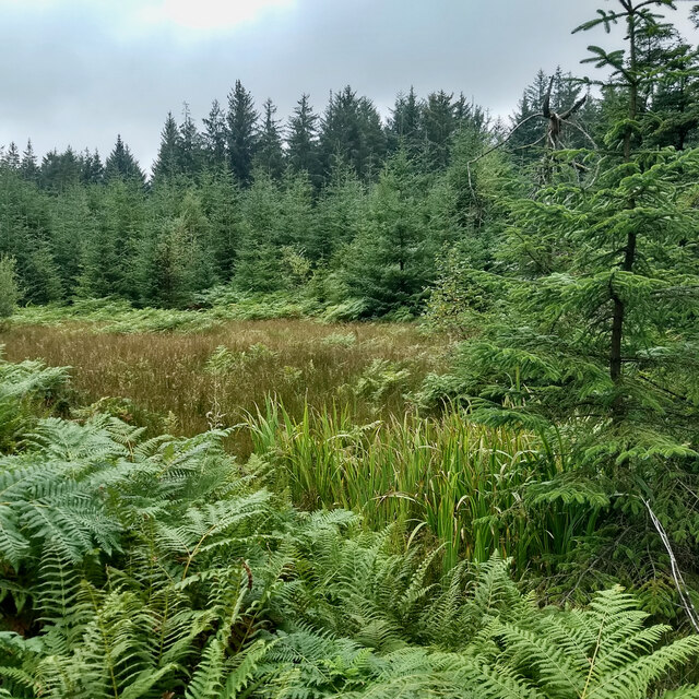
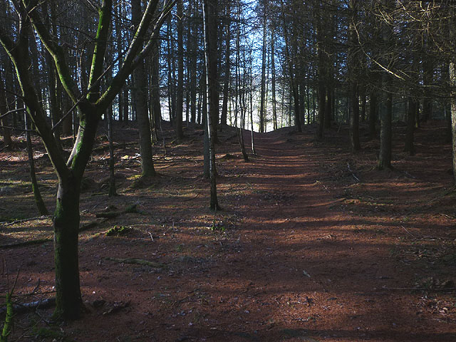
The woodland is predominantly comprised of various species of native trees, including oak, beech, and birch. These trees provide a rich and vibrant canopy, casting shadows on the forest floor and creating a serene and peaceful atmosphere. The plantation is well-maintained, with clearly marked walking trails that allow visitors to explore and appreciate the natural beauty of the area.
Trophinisty New Plantation is home to a wide array of wildlife, making it a haven for nature enthusiasts and birdwatchers. Visitors can expect to encounter several bird species such as woodpeckers, owls, and buzzards. Additionally, the woodland is inhabited by various mammals, including squirrels, rabbits, and deer, adding to the charm and tranquility of the area.
The plantation also offers recreational activities such as hiking, picnicking, and nature photography. The well-preserved trails provide excellent opportunities for outdoor enthusiasts to immerse themselves in the natural beauty of the woodland. The plantation is open to the public year-round, with different seasons showcasing unique aspects of its flora and fauna.
In summary, Trophinisty New Plantation in Lancashire is a captivating woodland area that captivates visitors with its lush vegetation, diverse wildlife, and peaceful ambiance. Whether one seeks a leisurely stroll, a bird-watching expedition, or a serene picnic spot, this plantation offers a perfect escape into nature.
If you have any feedback on the listing, please let us know in the comments section below.
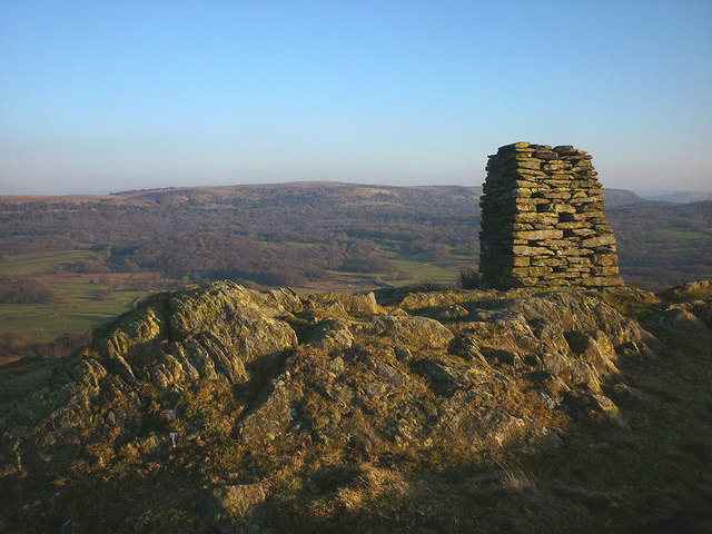
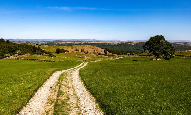
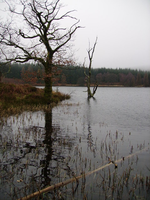
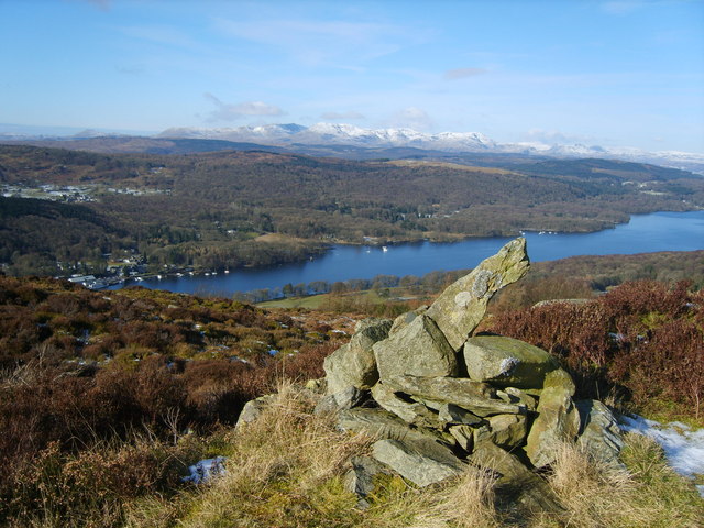
Throphinsty New Plantation Images
Images are sourced within 2km of 54.266255/-2.9064225 or Grid Reference SD4186. Thanks to Geograph Open Source API. All images are credited.


Throphinsty New Plantation is located at Grid Ref: SD4186 (Lat: 54.266255, Lng: -2.9064225)
Administrative County: Cumbria
District: South Lakeland
Police Authority: Cumbria
What 3 Words
///kicks.suspect.fussy. Near Arnside, Cumbria
Related Wikis
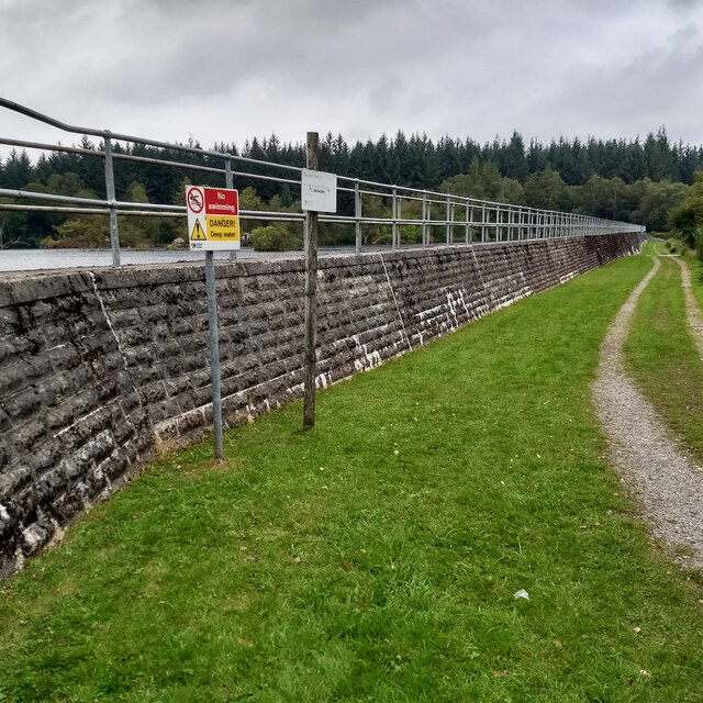
Simpson Ground Reservoir
Simpson Ground Reservoir is a reservoir in Cumbria, England, near the southeastern end of Windermere. It is located within a Forestry Commission conifer...

Cartmel Fell
Cartmel Fell is a hamlet and a civil parish in the South Lakeland district of Cumbria, England. In the 2001 census the parish had a population of 309,...
St Anthony's Church, Cartmel Fell
St Anthony's Church, is in the village of Cartmel Fell, Cumbria, England. It is an active Anglican parish church in the deanery of Kendal, the archdeaconry...
Staveley Fell
Staveley Fell is an upland area in the English Lake District, near (and named for) Staveley-in-Cartmel (not to be confused with Staveley-in-Westmorland...
Nearby Amenities
Located within 500m of 54.266255,-2.9064225Have you been to Throphinsty New Plantation?
Leave your review of Throphinsty New Plantation below (or comments, questions and feedback).