Coed-llai

Settlement in Flintshire

Wales

Coed-llai

Fferm, Pontblyddyn An Elizabethan manor house.
Fferm, Pontblyddyn Credit: Chris Andrews

Coed-llai is a small village located in the county of Flintshire, in North Wales, United Kingdom. It is situated on the outskirts of the town of Mold, approximately 14 miles west of the city of Chester. The village is surrounded by picturesque countryside and offers a tranquil setting for its residents.

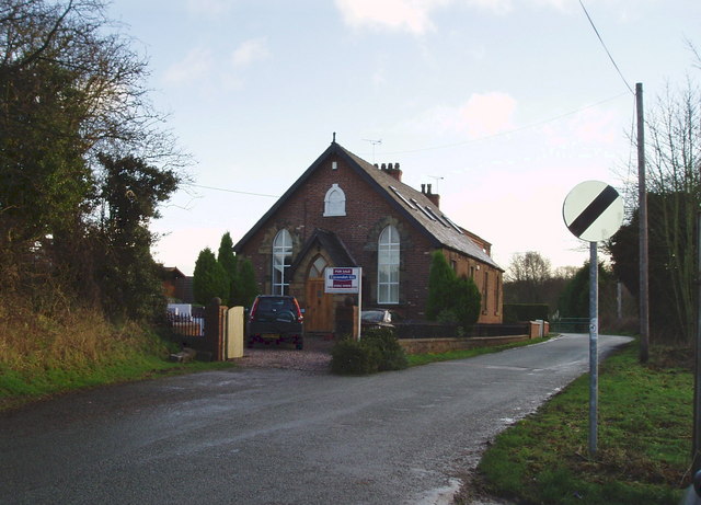
Coed-llai is primarily a residential area, with a mix of properties ranging from traditional cottages to modern houses. The village has a close-knit community, and residents benefit from a friendly and safe environment. The village is well-connected, with good transport links to nearby towns and cities.

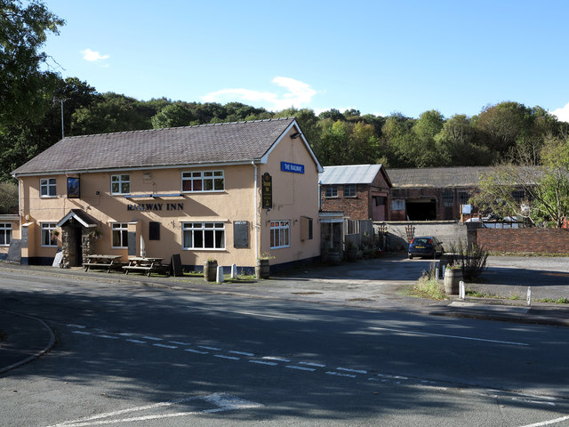
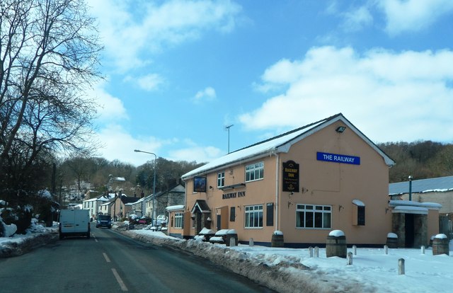
In terms of amenities, Coed-llai has limited facilities within the village itself. However, the neighboring town of Mold provides a range of services, including shops, supermarkets, schools, and healthcare facilities. The village is also within easy reach of several leisure and recreational attractions, such as country parks, golf courses, and historical sites.

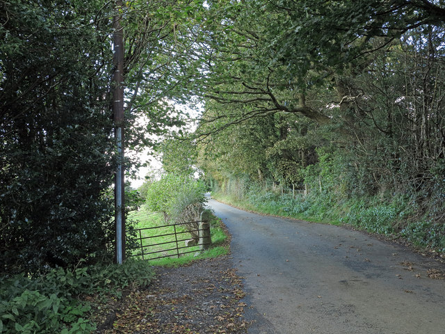
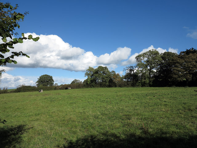
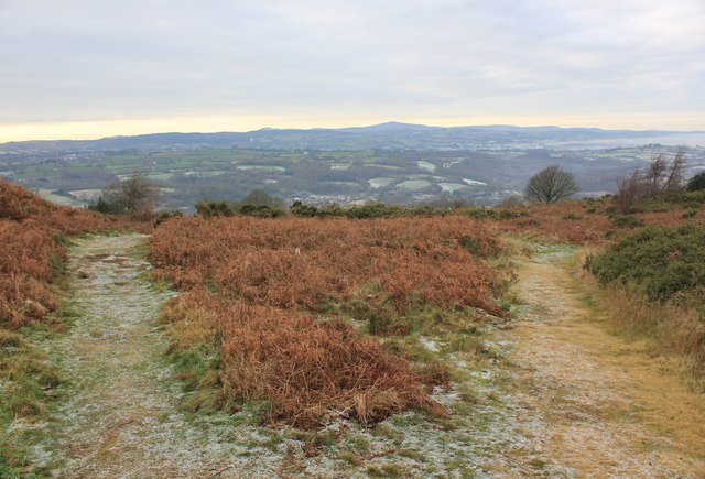
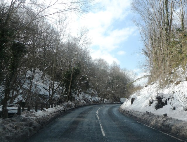
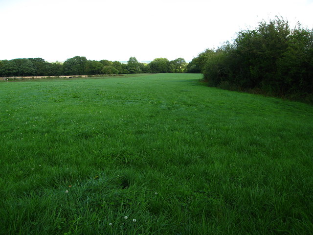
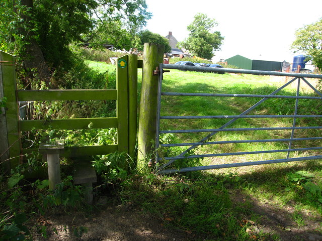
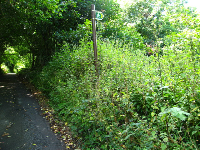
The surrounding countryside offers ample opportunities for outdoor activities, including walking, cycling, and horse riding. The area is known for its beautiful landscapes, with rolling hills, woodlands, and riverside walks. Nature enthusiasts can explore nearby nature reserves and enjoy birdwatching or wildlife spotting.

Coed-llai's location provides easy access to the wider region, making it an attractive place to live for those seeking a peaceful and rural lifestyle while still being within reach of urban amenities.

If you have any feedback on the listing, please let us know in the comments section below.
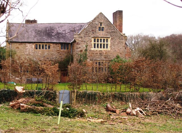
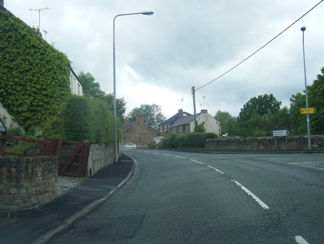
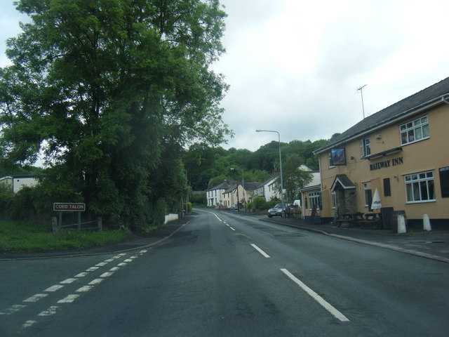
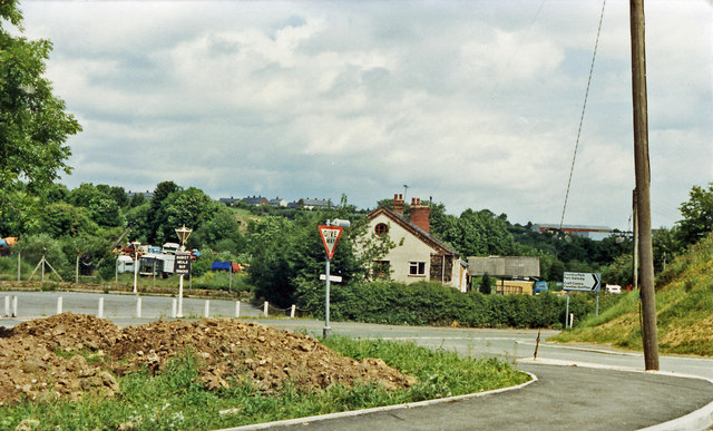
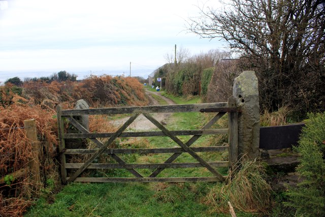
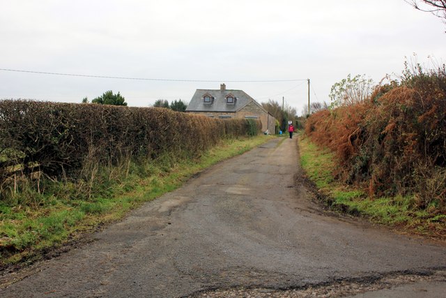
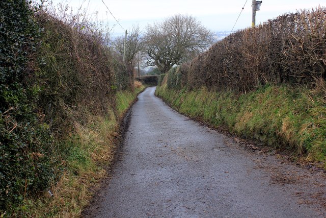
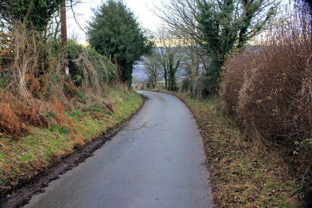
Coed-llai Images

Images are sourced within 2km of 53.12893/-3.088179 or Grid Reference SJ2759. Thanks to Geograph Open Source API. All images are credited.

Fferm, Pontblyddyn An Elizabethan manor house.
Fferm, Pontblyddyn
An Elizabethan manor house.
Corwen Road at Pontybodkin
Corwen Road at Coed Talon boundary
Site of Coed Talon station, 1986 View NE on A5104, at the former crossing of the LNW & GW Joint line from Mold (left) to Brymbo (right). Nothing whatever is to be seen now relating to the railway, the line having been closed finally on 22/7/63, to passengers from 27/3/50.
Site of Coed Talon station, 1986
View NE on A5104, at the former crossing of the LNW & GW Joint line from Mold (left) to Brymbo (right). Nothing whatever is to be seen now relating to the railway, the line having been closed finally on 22/7/63, to passengers from 27/3/50.
Minor road north-west of Mynydd Bychan The road is seen descending northwards on hill slopes below the Waun-y-Llyn Country Park.
Minor road north-west of Mynydd Bychan
The road is seen descending northwards on hill slopes below the Waun-y-Llyn Country Park.
Field east of Coed-talon The field is passed by a minor road descending to Coed-talon; it also lies south-east of the delightfully named village, Pontybodkin.
Field east of Coed-talon
The field is passed by a minor road descending to Coed-talon; it also lies south-east of the delightfully named village, Pontybodkin.
The Railway Inn and other buildings The Railway Inn is in the village of  Coed-talon on the A5104 between Treuddyn and Pontybodkin. There's no longer a railway there of course.
The Railway Inn and other buildings
The Railway Inn is in the village of Coed-talon on the A5104 between Treuddyn and Pontybodkin. There's no longer a railway there of course.
Pathway at Waen y Llyn Country Park Waen y Llyn Country Park near Hope Mountain.
Pathway at Waen y Llyn Country Park
Waen y Llyn Country Park near Hope Mountain.
Stile and Gate at Waen y Llyn Country Park One of the entrances to Waen y Llyn Country Park at its northern end.
Stile and Gate at Waen y Llyn Country Park
One of the entrances to Waen y Llyn Country Park at its northern end.
Lane at Berth Lane at Berth leading to Waen y Llyn Country Park.
Lane at Berth
Lane at Berth leading to Waen y Llyn Country Park.
Country Lane at Berth Lane at Berth heading east.
Country Lane at Berth
Lane at Berth heading east.
Lane to Pontybodkin Lane heading west from Berth to Pontybodkin.
Lane to Pontybodkin
Lane heading west from Berth to Pontybodkin.
The Railway Inn
The Railway Inn
The A5104 in Nant Wood
Cattle in field beside Frank Farm From a footpath heading west from Pontybodkin
Cattle in field beside Frank Farm
From a footpath heading west from Pontybodkin
Field and woodland near Plas-ym-Mhowys Farm
Stile on footpath beside Plas-ym-Mhowys Farm
Sign for completely overgrown footpath I struggled down through head high nettles but had to turn back as I could not find the way
Sign for completely overgrown footpath
I struggled down through head high nettles but had to turn back as I could not find the way
Show me another place!

Coed-llai is located at Grid Ref: SJ2759 (Lat: 53.12893, Lng: -3.088179)

Unitary Authority: Flintshire

Police Authority: North Wales

Also known as: Leeswood

What 3 Words

///flattens.router.wages. Near Leeswood, Flintshire

Related Wikis

Leeswood

Leeswood (Welsh: Coed-llai) is a village, community and electoral ward in Flintshire, Wales, about four miles from the historic market town of Mold. At...

Coed Talon railway station

Coed Talon railway station was a station in Coed Talon, Flintshire, Wales. The station was opened on 1 January 1892, closed to passengers on 27 March 1950...

Pontblyddyn

Pontblyddyn is a small village outside Leeswood, in Flintshire, Wales and is situated around 8 miles from Wrexham. Plas Teg, one of the most important...

Coed Talon

Coed Talon (also spelt "Coed-talon") is a small, formerly industrial village between Leeswood and Treuddyn in Flintshire, Wales. Its name is derived from...

Related Videos

Snowfall in Wrexham, North Wales Uk 🇬🇧 #travel #natural #UrbanSeeker #youtubeshorts #youtube

Walking in Düsseldorf, Germany. #walking #walkingtour #UrbanSeeker #youtubeshorts #natural follow us for nice and beautiful ...

The Old Stores

A trip with Sam to the Old stores near Mold and then over the HorseShoe Pass into Llangollen. We went on the CRF1100L ...

Nearby Amenities

Located within 500m of 53.12893,-3.088179
Pont-Y-Bodkin
Is In: Flintshire, Wales, United Kingdom
Place: village
Wikidata: Q20591948
Lat/Long: 53.1254733/-3.0891149
The Co-operative Food
Addr Postcode: CH7 4RQ
Addr Street: Queen Street
Brand: The Co-operative Food
Brand Wikidata: Q107617274
Fhrs Id: 610681
Operator: The Co-operative Group
Operator Wikidata: Q117202
Shop: convenience
Source Addr: FHRS Open Data
Website: https://www.coop.co.uk/store-finder/CH7-4RQ/queen-street
Lat/Long: 53.1298436/-3.0888523
Place Of Worship
Denomination: methodist
Religion: christian
Lat/Long: 53.1261806/-3.0896519
Place Of Worship
English Methodist Church
Denomination: methodist
Religion: christian
Lat/Long: 53.1311406/-3.0901684
Post Box
Lat/Long: 53.1296605/-3.0888054
Place Of Worship
Bethan Baptist Church
Denomination: baptist
Religion: christian
Lat/Long: 53.1301471/-3.0855499
Post Box
Lat/Long: 53.1306735/-3.093527
Community Centre
Lat/Long: 53.1321616/-3.0918874
Direction: SE
Generator Method: photovoltaic
Generator Output Electricity: yes
Generator Solar Modules: 16
Generator Source: solar
Generator Type: solar_photovoltaic_panel
Location: roof
Power: generator
Lat/Long: 53.1302973/-3.0850875
Direction: SSE
Generator Method: photovoltaic
Generator Output Electricity: yes
Generator Solar Modules: 10
Generator Source: solar
Generator Type: solar_photovoltaic_panel
Location: roof
Power: generator
Lat/Long: 53.1311003/-3.0924931
Direction: ESE
Generator Method: photovoltaic
Generator Output Electricity: yes
Generator Solar Modules: 10
Generator Source: solar
Generator Type: solar_photovoltaic_panel
Location: roof
Power: generator
Lat/Long: 53.1273879/-3.0890062
Direction: 215
Generator Method: photovoltaic
Generator Output Electricity: yes
Generator Solar Modules: 16
Generator Source: solar
Generator Type: solar_photovoltaic_panel
Location: roof
Power: generator
Lat/Long: 53.1291172/-3.086943
Direction: SSW
Generator Method: photovoltaic
Generator Output Electricity: yes
Generator Solar Modules: 14
Generator Source: solar
Generator Type: solar_photovoltaic_panel
Location: roof
Power: generator
Lat/Long: 53.1292392/-3.0868491
Direction: SE
Generator Method: photovoltaic
Generator Output Electricity: yes
Generator Solar Modules: 16
Generator Source: solar
Generator Type: solar_photovoltaic_panel
Location: roof
Power: generator
Lat/Long: 53.1293623/-3.0879119
Direction: SSE
Generator Method: photovoltaic
Generator Output Electricity: yes
Generator Solar Modules: 14
Generator Source: solar
Generator Type: solar_photovoltaic_panel
Location: roof
Power: generator
Lat/Long: 53.1301557/-3.0904815
Direction: 235
Generator Method: photovoltaic
Generator Output Electricity: yes
Generator Solar Modules: 14
Generator Source: solar
Generator Type: solar_photovoltaic_panel
Location: roof
Power: generator
Lat/Long: 53.1298579/-3.0910045
Direction: SW
Generator Method: photovoltaic
Generator Output Electricity: yes
Generator Solar Modules: 10
Generator Source: solar
Generator Type: solar_photovoltaic_panel
Location: roof
Power: generator
Lat/Long: 53.1293253/-3.0934829
The data included in this document is from www.openstreetmap.org. The data is made available under ODbL.

Have you been to Coed-llai?

Leave your review of Coed-llai below (or comments, questions and feedback).