Nant Wood
Wood, Forest in Flintshire
Wales
Nant Wood
The requested URL returned error: 429 Too Many Requests
If you have any feedback on the listing, please let us know in the comments section below.
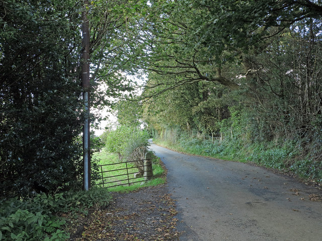
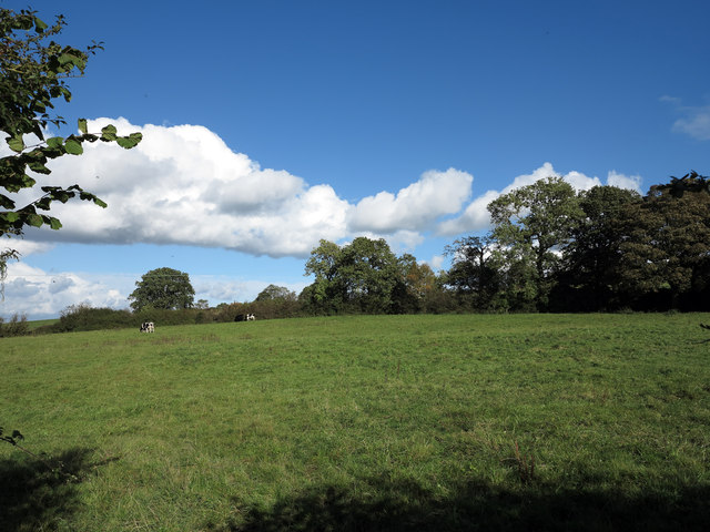
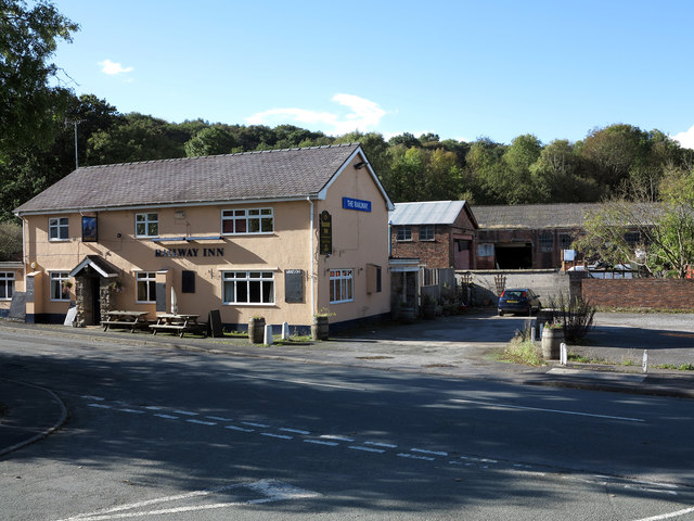
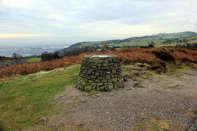
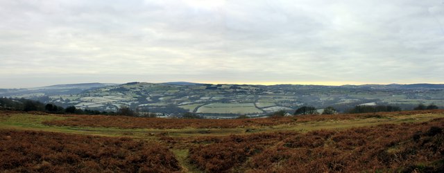
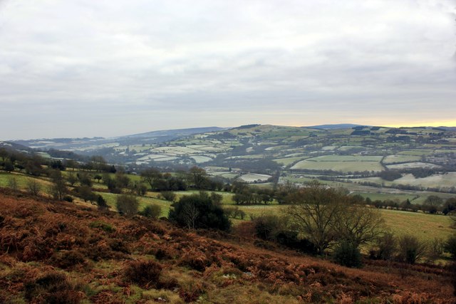
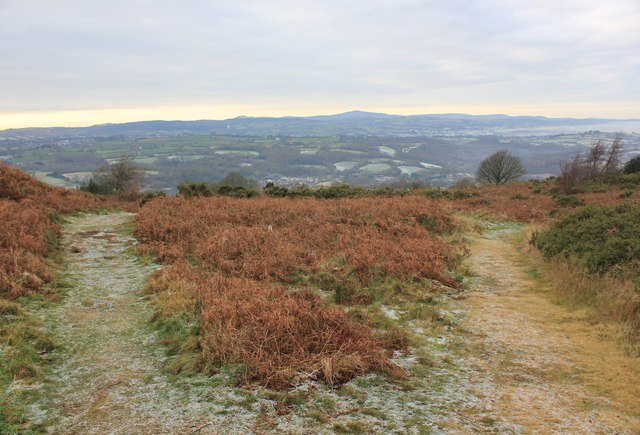
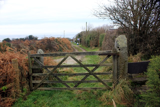
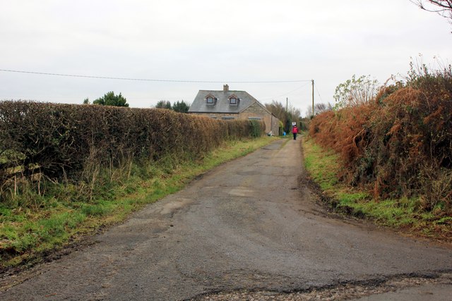
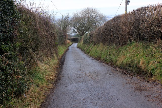
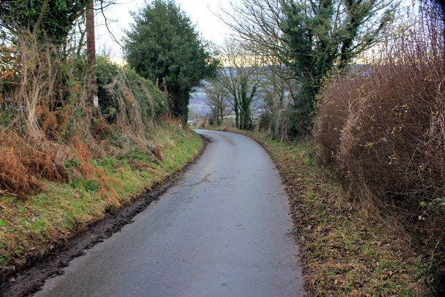
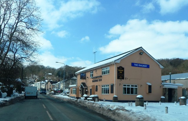
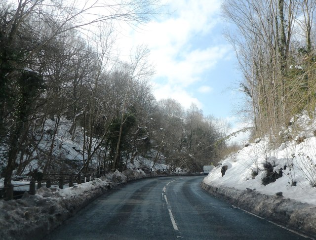
Nant Wood Images
Images are sourced within 2km of 53.128922/-3.0846216 or Grid Reference SJ2759. Thanks to Geograph Open Source API. All images are credited.

Nant Wood is located at Grid Ref: SJ2759 (Lat: 53.128922, Lng: -3.0846216)
Unitary Authority: Flintshire
Police Authority: North Wales
What 3 Words
///jumbo.added.splinters. Near Leeswood, Flintshire
Nearby Locations
Related Wikis

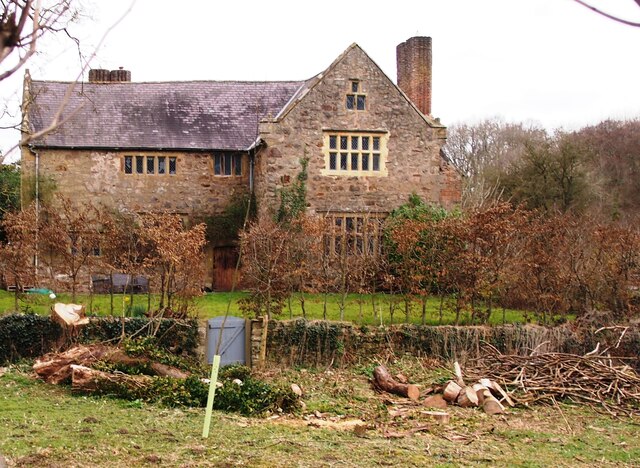
Fferm
Fferm (Welsh for "farm") Farmhouse is a small Elizabethan manor house, located to the east of Pontblyddyn in the county of Flintshire, Wales. It is listed...

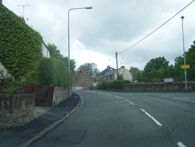
Pontblyddyn
Pontblyddyn is a small village outside Leeswood, in Flintshire, Wales and is situated around 8 miles from Wrexham. Plas Teg, one of the most important...

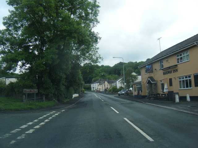
Leeswood
Leeswood (Welsh: Coed-llai) is a village, community and electoral ward in Flintshire, Wales, about four miles from the historic market town of Mold. At...

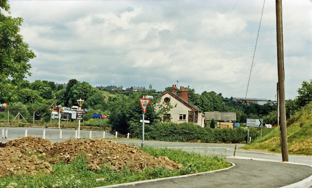
Coed Talon railway station
Coed Talon railway station was a station in Coed Talon, Flintshire, Wales. The station was opened on 1 January 1892, closed to passengers on 27 March 1950...
Related Videos

Hiking 2 Miles at Waun Y Llyn Country Park Wales
I have planned to walk and explore different mountains. This is my first 2 miles walk at Waun Y Llyn Country Park Wales.

Snowfall in Wrexham, North Wales Uk 🇬🇧 #travel #natural #UrbanSeeker #youtubeshorts #youtube
Walking in Düsseldorf, Germany. #walking #walkingtour #UrbanSeeker #youtubeshorts #natural follow us for nice and beautiful ...


Waun Y Llyn Country Park
Dog walking in Waun Y Llyn Country Park, North Wales.
Nearby Amenities
Located within 500m of 53.128922,-3.0846216Have you been to Nant Wood?
Leave your review of Nant Wood below (or comments, questions and feedback).