Sned Wood
Wood, Forest in Herefordshire
England
Sned Wood

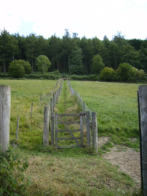
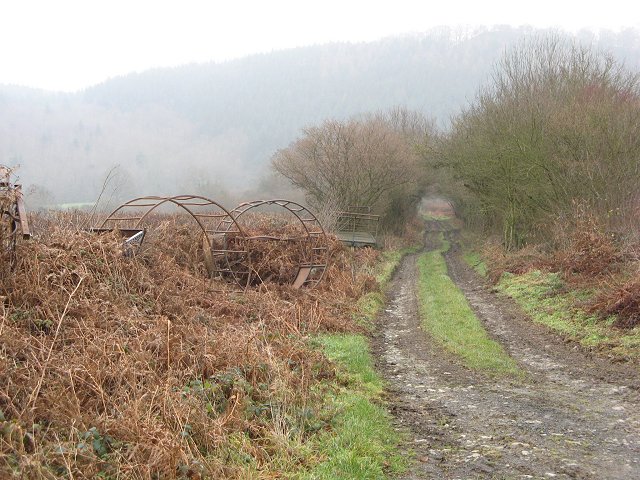
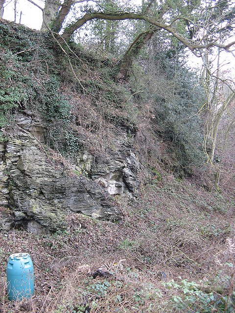
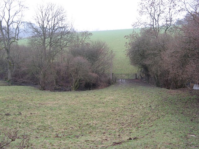
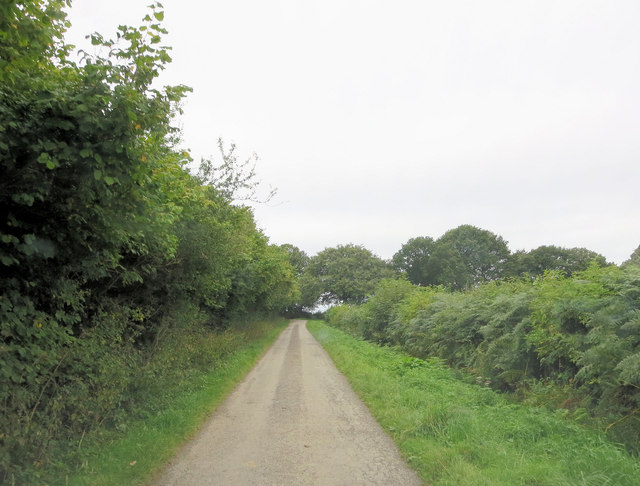
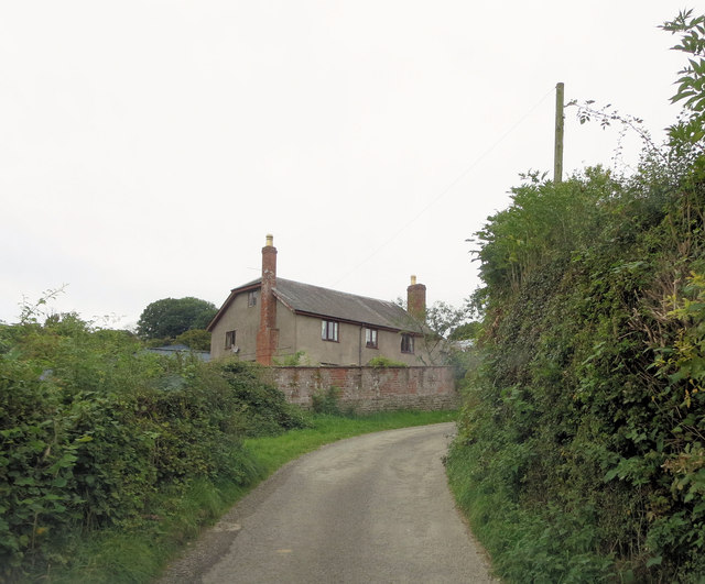
Sned Wood is a picturesque forest located in Herefordshire, England. Covering an area of approximately 100 acres, it is known for its serene atmosphere and diverse wildlife. The wood is situated in a rural area, surrounded by rolling hills and meadows, providing a tranquil escape for nature enthusiasts and hikers.
The forest is predominantly made up of deciduous trees, including oak, beech, and birch, which create a dense canopy, allowing only sporadic sunlight to filter through. This creates a unique and enchanting ambiance within the wood. The forest floor is covered with a thick layer of moss and fallen leaves, providing a soft and cushioned path for visitors to explore.
Sned Wood is home to a variety of wildlife species, including deer, badgers, foxes, and a wide array of bird species. Birdwatchers will find delight in spotting species such as woodpeckers, owls, and thrushes that inhabit the forest. Additionally, the wood is known for its rich insect population, with butterflies and dragonflies fluttering amongst the trees.
The forest is crisscrossed with well-maintained footpaths, allowing visitors to easily navigate through the wood and explore its many hidden corners. These paths lead to several viewpoints, offering breathtaking vistas of the surrounding countryside.
Sned Wood is a popular destination for locals and tourists alike, providing a peaceful retreat for those seeking solace in nature. Its natural beauty, abundant wildlife, and well-preserved environment make it a cherished gem in the heart of Herefordshire.
If you have any feedback on the listing, please let us know in the comments section below.
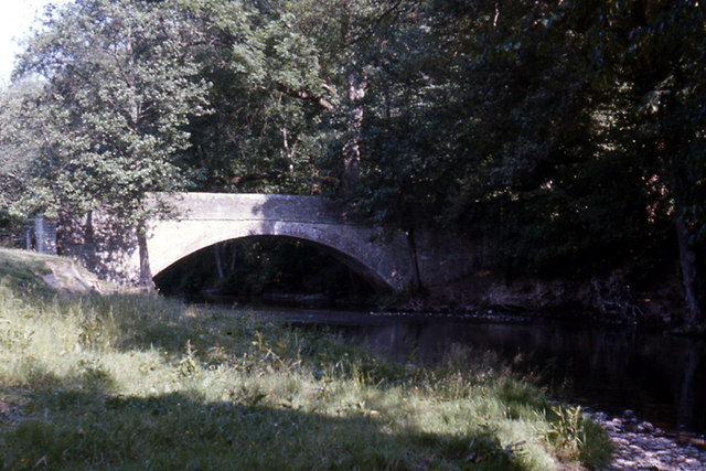
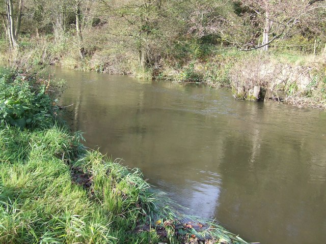
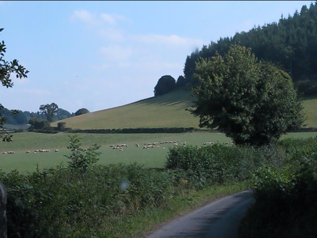
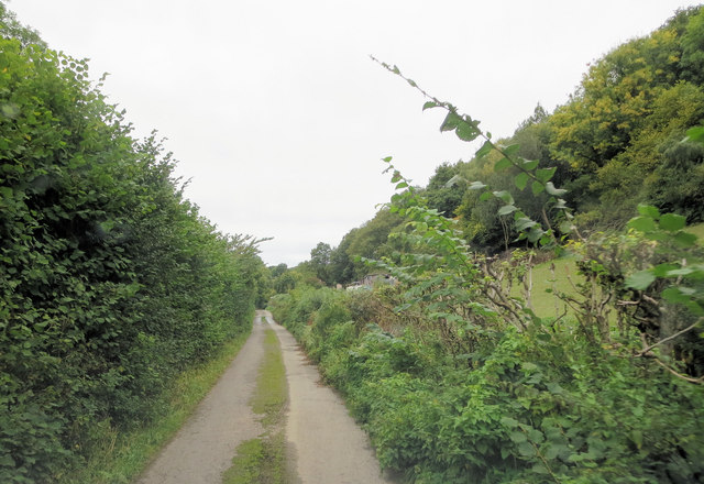
Sned Wood Images
Images are sourced within 2km of 52.288902/-2.8720092 or Grid Reference SO4065. Thanks to Geograph Open Source API. All images are credited.


Sned Wood is located at Grid Ref: SO4065 (Lat: 52.288902, Lng: -2.8720092)
Unitary Authority: County of Herefordshire
Police Authority: West Mercia
What 3 Words
///comply.veal.corrode. Near Wigmore, Herefordshire
Nearby Locations
Related Wikis

Aymestrey burial
The Aymestrey burial was a beaker cist at Aymestrey, Herefordshire, England. The remains and objects are now in a recreated cist, at Leominster Museum...

Kinsham Grange
Kinsham Grange may have been a priory near the River Lugg in Herefordshire, England at grid reference SO380652. It now seems likely that an error by John...

Aymestrey
Aymestrey ( AYM-stree) is a village and civil parish in north-western Herefordshire, England. The population of this civil parish, including the hamlet...

Wigmore Hall, Herefordshire
Wigmore Hall is a Grade II listed building in the village of Wigmore in Herefordshire, England. == History == Wigmore Hall dates from the 16th century...
Have you been to Sned Wood?
Leave your review of Sned Wood below (or comments, questions and feedback).