Big Wood

Wood, Forest in Lancashire

England

Big Wood

Out in the country - once
Out in the country - once Credit: David Long

Big Wood is a sprawling forest located in the county of Lancashire, England. Covering a vast area of lush greenery, it is a haven for nature lovers and outdoor enthusiasts. The wood is situated on the outskirts of a small village called Wood, which lends its name to the forest.

Big Wood is renowned for its diverse ecosystem, boasting a rich variety of flora and fauna. The forest is predominantly composed of towering oak, beech, and pine trees, which provide a dense canopy that offers shade and shelter to the countless species that call this place home. Moss-covered rocks and fallen logs add to the enchanting atmosphere, giving visitors a sense of stepping into a magical realm.

The forest is crisscrossed with numerous walking trails, allowing visitors to explore its beauty at their own pace. These well-maintained paths wind through the wood, offering glimpses of hidden ponds and babbling brooks along the way. Birdwatchers are in for a treat, as Big Wood attracts a wide variety of avian species, including woodpeckers, owls, and songbirds.

For those seeking solitude and tranquility, Big Wood provides a peaceful retreat away from the hustle and bustle of daily life. The forest also offers opportunities for recreational activities such as picnicking, camping, and wildlife photography. It is a popular destination for families, couples, and individuals looking to reconnect with nature and enjoy the beauty of Lancashire's countryside.

If you have any feedback on the listing, please let us know in the comments section below.
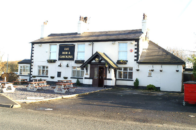
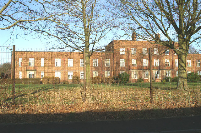
Big Wood Images

Images are sourced within 2km of 53.51515/-2.8970053 or Grid Reference SD4002. Thanks to Geograph Open Source API. All images are credited.

Out in the country - once
Ashworth Hospital
Ashworth Hospital
Escape to the country
M58 Motorway  (the quiet one)
M58 Motorway (the quiet one)
Royal Oak Cottages Located on the corner of Liverpool Road and Simonswood Lane
Royal Oak Cottages
Located on the corner of Liverpool Road and Simonswood Lane
Royal Oak Cottages
Royal Oak Cottages
The Pear Tree Melling Mount
The Pear Tree
Melling Mount
View of Ammunition Bunkers These are located just outside Kirkby. There are 9 main buildings, with some smaller ones dotted around. They are connected by concrete roads,  when you look on the modern map they are in an open grid formation of 3X3. On the old map there was a public road through here, of which there is now no trace. There is a public footpath through the area which starts on Outlet Lane G/R SD  41450218.
View of Ammunition Bunkers
These are located just outside Kirkby. There are 9 main buildings, with some smaller ones dotted around. They are connected by concrete roads, when you look on the modern map they are in an open grid formation of 3X3. On the old map there was a public road through here, of which there is now no trace. There is a public footpath through the area which starts on Outlet Lane G/R SD 41450218.
Ammunition Bunker Close-up
Ammunition Bunker
Close-up
Cold Road Looking towards Outlet Farm
Cold Road
Looking towards Outlet Farm
Old Waterworks Near Royal Oak
Old Waterworks
Near Royal Oak
Modern water treatment plant Near Royal Oak
Modern water treatment plant
Near Royal Oak
St Mary's Aughton
St Mary's
Aughton
Railway Bridge The Liverpool & Ormskirk Railway Bridge. Crosses Butchers Lane
Railway Bridge
The Liverpool & Ormskirk Railway Bridge. Crosses Butchers Lane
The Derby Arms Bowker's Green
The Derby Arms
Bowker's Green
Lowerend  Farm From Bowker's Green Lane
Lowerend Farm
From Bowker's Green Lane
Ammunition Bunker
Ammunition Bunker
Ammunition Bunker
Ammunition Bunker
Show me another place!

Big Wood is located at Grid Ref: SD4002 (Lat: 53.51515, Lng: -2.8970053)

Unitary Authority: Sefton

Police Authority: Merseyside

What 3 Words

///wizards.reseller.shimmered. Near Maghull, Merseyside

Nearby Locations

Big Wood Massam's Wood

Related Wikis

Ashworth Hospital

Ashworth Hospital is a high-security psychiatric hospital in Maghull, 10 miles (16 km) northeast of Liverpool. It is a part of Mersey Care NHS Foundation...

Simonswood Supply Depot

Simonswood Supply Depot was one of the main ammunition depots in Lancashire, England during World War II. Located at Simonswood, it was used as an ammunition...

HM Prison Kennet

HM Prison Kennet was a Category C men's prison, located in Parkbourn, Maghull, in the Metropolitan Borough of Sefton in Merseyside, England. The prison...

Maghull North railway station

Maghull North is a station in Maghull, Merseyside, England, on the Northern Line of Merseyrail. The station opened on 18 June 2018 to serve the north end...

Nearby Amenities

Located within 500m of 53.51515,-2.8970053
Bus Stop
PRESCOT ROAD
Bus: yes
Naptan AtcoCode: 2800S52110A
Naptan Bearing: S
Naptan CommonName: PRESCOT ROAD
Naptan Indicator: PRESCOT ROAD
Naptan Landmark: NR CORNER CONSCOUGH LANE
Naptan NaptanCode: mergagdp
Naptan Notes: No Notes
Naptan PlusbusZoneRef: LVRPLCH
Naptan ShortCommonName: Prescot Rd
Naptan Street: PRESCOT ROAD
Naptan Verified: no
Public Transport: platform
Source: naptan_import
Lat/Long: 53.5177951/-2.8988345
Bus Stop
PRESCOT ROAD
Bus: yes
Naptan AtcoCode: 2800S52110B
Naptan Bearing: S
Naptan CommonName: PRESCOT ROAD
Naptan Indicator: PRESCOT ROAD
Naptan Landmark: ALMOST OPP CUNSCOUGH LANE
Naptan NaptanCode: mergagdt
Naptan Notes: No Notes
Naptan PlusbusZoneRef: LVRPLCH
Naptan ShortCommonName: Prescot Rd
Naptan Street: PRESCOT ROAD
Naptan Verified: no
Public Transport: platform
Source: naptan_import
Lat/Long: 53.5181883/-2.8989885
Motorway Junction
Maghull Lane Interchange
Ref: 1
Source: bing
Lat/Long: 53.5161739/-2.9009674
Turning Circle
Lat/Long: 53.5169006/-2.8998462
Generator Method: photovoltaic
Generator Output Electricity: yes
Generator Source: solar
Generator Type: solar_photovoltaic_panel
Location: roof
Power: generator
Source: survey
Lat/Long: 53.5152435/-2.9009505
Post Box
Operator: Royal Mail
Operator Wikidata: Q638098
Post Box Type: lamp
Source: local knowledge;survey
Lat/Long: 53.5141286/-2.9012664
Communication Mobile Phone: yes
Man Made: mast
Source: survey
Tower Type: communication
Lat/Long: 53.5146117/-2.9017641
The data included in this document is from www.openstreetmap.org. The data is made available under ODbL.

Have you been to Big Wood?

Leave your review of Big Wood below (or comments, questions and feedback).