Spring Coppice

Wood, Forest in Shropshire

England

Spring Coppice

The Mytton Arms, Habberley Named after John "Mad Jack" Mytton, a debauched 19th Century rake: <span class="nowrap"><a title="https://en.wikipedia.org/wiki/John_Mytton" rel="nofollow ugc noopener" href="https://en.wikipedia.org/wiki/John_Mytton">Link</a><img style="margin-left:2px;" alt="External link" title="External link - shift click to open in new window" src="https://s1.geograph.org.uk/img/external.png" width="10" height="10"/></span> .
The Mytton Arms, Habberley Credit: Bill Harrison

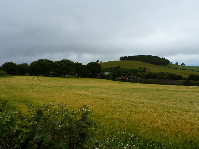
Spring Coppice is a picturesque woodland located in the county of Shropshire, England. This woodland, also known as Spring Coppice Wood or simply Spring Wood, covers an area of approximately 50 acres and is situated in the heart of the Shropshire countryside.

The wood is characterized by its diverse range of tree species, including oak, ash, beech, and birch. These trees create a dense canopy that provides shade and shelter for a variety of wildlife, making it a haven for nature enthusiasts and birdwatchers. Bluebells, primroses, and wild garlic are just a few of the abundant wildflowers that carpet the forest floor during the spring months, adding a vibrant burst of color to the landscape.

Tranquility and serenity define the atmosphere of Spring Coppice. The sounds of singing birds, rustling leaves, and babbling brooks permeate the air, creating a soothing ambiance for visitors seeking an escape from the hustle and bustle of everyday life. It is a popular spot for walking, hiking, and picnicking, with well-maintained paths and designated picnic areas available for visitors to enjoy.

In addition to its natural beauty, Spring Coppice is also steeped in history. The wood has evidence of ancient mining activity, with remains of old mine shafts and tunnels scattered throughout the area. These remnants offer a glimpse into the region's industrial past and add an intriguing element to the woodland's charm.

Overall, Spring Coppice is a stunning woodland that offers a tranquil retreat for nature lovers, boasting a rich diversity of flora and fauna, as well as a touch of history.

If you have any feedback on the listing, please let us know in the comments section below.

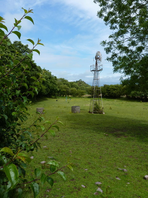
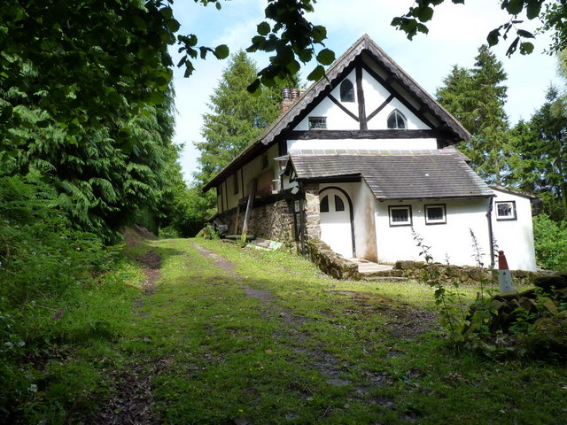
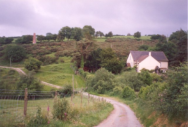
Spring Coppice Images

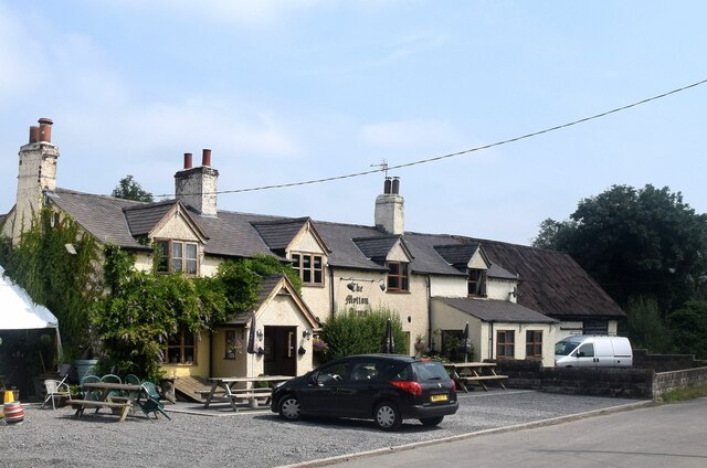
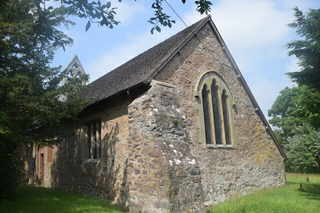
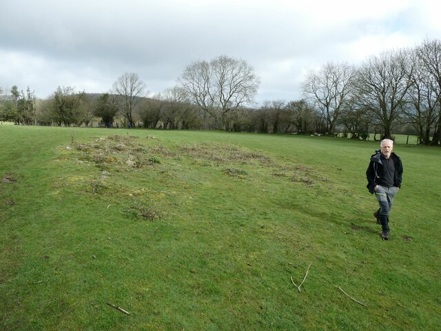
Images are sourced within 2km of 52.611112/-2.8855462 or Grid Reference SJ4001. Thanks to Geograph Open Source API. All images are credited.

The Mytton Arms, Habberley Named after John "Mad Jack" Mytton, a debauched 19th Century rake: <span class="nowrap"><a title="https://en.wikipedia.org/wiki/John_Mytton" rel="nofollow ugc noopener" href="https://en.wikipedia.org/wiki/John_Mytton">Link</a><img style="margin-left:2px;" alt="External link" title="External link - shift click to open in new window" src="https://s1.geograph.org.uk/img/external.png" width="10" height="10"/></span> .
The Mytton Arms, Habberley
Named after John "Mad Jack" Mytton, a debauched 19th Century rake: LinkExternal link .
St Mary's Church, Habberley The grade-II (LB1177028 <span class="nowrap"><a title="https://historicengland.org.uk/listing/the-list/list-entry/1177028" rel="nofollow ugc noopener" href="https://historicengland.org.uk/listing/the-list/list-entry/1177028">Link</a><img style="margin-left:2px;" alt="External link" title="External link - shift click to open in new window" src="https://s1.geograph.org.uk/img/external.png" width="10" height="10"/></span> ) church is thought to date from the 12th Century but was heavily rebuilt in the 19th Century.  Note the asymmetrical roofline and the gigantic buttress in the foreground.
St Mary's Church, Habberley
The grade-II (LB1177028 LinkExternal link ) church is thought to date from the 12th Century but was heavily rebuilt in the 19th Century. Note the asymmetrical roofline and the gigantic buttress in the foreground.
Stream by the side of a footpath south of Habberley This is a scene of environmental destruction. All the stream and fence lines in this area have been destroyed by the owner farmer - trees cut down or uprooted, shrub and scrub levelled, all wildlife and biodiversity cover decimated. For what purpose - very minimal agricultural gain, wanton destruction, ignorance, “efficiency” ??? I notice a geograph taken at this spot 10 months previously shows a natural stream with wild garlic flourishing - a sign of longevity of undisturbed nature. This was so sad and depressing to see.
Stream by the side of a footpath south of Habberley
This is a scene of environmental destruction. All the stream and fence lines in this area have been destroyed by the owner farmer - trees cut down or uprooted, shrub and scrub levelled, all wildlife and biodiversity cover decimated. For what purpose - very minimal agricultural gain, wanton destruction, ignorance, “efficiency” ??? I notice a geograph taken at this spot 10 months previously shows a natural stream with wild garlic flourishing - a sign of longevity of undisturbed nature. This was so sad and depressing to see.
On footpath south of Habberley These magnificent old trees frame the southern aspect of Earls Hill.
On footpath south of Habberley
These magnificent old trees frame the southern aspect of Earls Hill.
Walkers on the 2023 Pontesbury Potter cross a field The walk is a fixture in my calendar most years. You always meet nice, interesting, friendly, engaging and memorable walking companions. 

Plus we laugh 90% of the way round.
Walkers on the 2023 Pontesbury Potter cross a field
The walk is a fixture in my calendar most years. You always meet nice, interesting, friendly, engaging and memorable walking companions. Plus we laugh 90% of the way round.
Wooded valley on the edge of Cothercott Hill Pastureland on the edge of Long Rough. The sheep are enjoying the winter sunshine and being in the open air.
Wooded valley on the edge of Cothercott Hill
Pastureland on the edge of Long Rough. The sheep are enjoying the winter sunshine and being in the open air.
Cothercott Barytes Mill Barium mining was once an industry in the Stiperstones area. I don't know what they used this heavy mineral for, today it is used to make the 'mud' used to control oil wells. As its name suggests it is dense.
Cothercott Barytes Mill
Barium mining was once an industry in the Stiperstones area. I don't know what they used this heavy mineral for, today it is used to make the 'mud' used to control oil wells. As its name suggests it is dense.
Cothercott Hill View from the barytes mill.
Cothercott Hill
View from the barytes mill.
New gate, Cothercott Hill Irony that it is as awkward to get up the steps from the road as it would be to get over a traditional stile. Very encouraging to see that Shropshire County Council is still looking after its path network - they have earned a fine reputation over the years.
New gate, Cothercott Hill
Irony that it is as awkward to get up the steps from the road as it would be to get over a traditional stile. Very encouraging to see that Shropshire County Council is still looking after its path network - they have earned a fine reputation over the years.
Walkers on the 2023 Pontesbury Potter follow a field edge pat Walkers on this charity walk in aid of Severn Hospice follow a well trodden path along a footpath.
Walkers on the 2023 Pontesbury Potter follow a field edge pat
Walkers on this charity walk in aid of Severn Hospice follow a well trodden path along a footpath.
Wheatfield at the side of East Broomhill plantation
Bank Farm, with Broom Hill beyond
The track to Bank farm
Down the lane to Lawn House farm
An overgrown, little-used footpath What to do when faced with one of those? Let the dog find the way through...
An overgrown, little-used footpath
What to do when faced with one of those? Let the dog find the way through...
Trackway into the valley This made-up track from Pulverbatch leads down to a couple of cottages in the valley near the windpump marked on most maps.
Trackway into the valley
This made-up track from Pulverbatch leads down to a couple of cottages in the valley near the windpump marked on most maps.
Windpump in the valley This pump is associated with a remote smallholding near Cothercott, which is unnamed on the maps.
Windpump in the valley
This pump is associated with a remote smallholding near Cothercott, which is unnamed on the maps.
A 'Hansel & Gretel' cottage near Cothercott I thought this a remarkable find, as the maps give little clue about the existence of substantial cottages here, let alone one as picturesque as this.
A 'Hansel & Gretel' cottage near Cothercott
I thought this a remarkable find, as the maps give little clue about the existence of substantial cottages here, let alone one as picturesque as this.
Show me another place!

Spring Coppice is located at Grid Ref: SJ4001 (Lat: 52.611112, Lng: -2.8855462)

Unitary Authority: Shropshire

Police Authority: West Mercia

What 3 Words

///chose.sues.bronzes. Near Pontesbury, Shropshire

Related Wikis

Habberley, Shropshire

Habberley is a small village and former civil parish, now in the parish of Pontesbury, in the Shropshire district, in the ceremonial county of Shropshire...

Eastridge Mountain Bike Trail Centre

Eastridge Mountain Bike Trail Centre is a free mountain biking venue in Shropshire, UK. The venue is developed and maintained by volunteers, and features...

Snailbeach

Snailbeach is a village in Shropshire, England, located near Shrewsbury at grid reference SJ375025. The population details taken at the 2011 census can...

Snailbeach Countryside Site

Snailbeach Countryside Site is an industrial archeology site in Shropshire. It is located three 3 miles (4.8 km) south of the village of Pontesbury and...

Nearby Amenities

Located within 500m of 52.611112,-2.8855462
Barrier: cattle_grid
Lat/Long: 52.6144036/-2.8893437
Give Way
Direction: backward
Lat/Long: 52.6099325/-2.8877626
Power: pole
Lat/Long: 52.6116139/-2.8821495
Power: pole
Lat/Long: 52.6126129/-2.8823914
Power: pole
Lat/Long: 52.6145079/-2.8828372
Power: pole
Lat/Long: 52.6090846/-2.8815449
Power: pole
Lat/Long: 52.6105043/-2.8818807
The data included in this document is from www.openstreetmap.org. The data is made available under ODbL.

Have you been to Spring Coppice?

Leave your review of Spring Coppice below (or comments, questions and feedback).