Coed Esgob

Settlement in Flintshire

Wales

Coed Esgob

Mini-roundabout, St Asaph This roundabout links the A525/ B5381 and St Asaph Bridge.
Mini-roundabout, St Asaph Credit: David Bremner

Coed Esgob is a small village located in the county of Flintshire, Wales. Situated in the eastern part of the county, the village is nestled in a picturesque setting surrounded by rolling hills and lush green fields. It is part of the community of Llanfynydd and lies approximately 10 miles southwest of the county town of Mold.

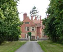
The name "Coed Esgob" translates to "Bishop's Wood" in English, reflecting its historical connection to the local bishopric. The village is known for its charming rural character and is primarily composed of a scattering of traditional Welsh stone cottages, giving it a timeless and idyllic feel.

The village is surrounded by beautiful countryside, making it an ideal location for nature enthusiasts and walkers. Nearby attractions include the stunning Loggerheads Country Park, which offers scenic walks through ancient woodlands and a chance to explore the dramatic limestone cliffs of the Clwydian Range.

While Coed Esgob itself is a small village with limited amenities, the nearby town of Mold provides a range of services including shops, supermarkets, schools, and healthcare facilities. The village is well-connected by road, with easy access to the A541, which links it to neighboring towns and cities.

Coed Esgob offers a peaceful and close-knit community, perfect for those seeking a tranquil lifestyle in a rural setting. Its natural beauty and proximity to the surrounding countryside make it a popular choice for those looking to escape the hustle and bustle of city life.

If you have any feedback on the listing, please let us know in the comments section below.
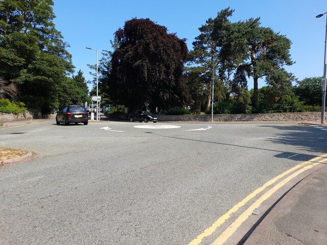
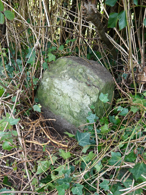
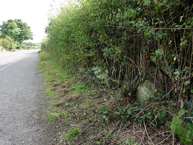
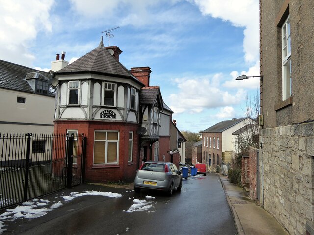
Coed Esgob Images

Images are sourced within 2km of 53.247591/-3.465849 or Grid Reference SJ0273. Thanks to Geograph Open Source API. All images are credited.

Mini-roundabout, St Asaph This roundabout links the A525/ B5381 and St Asaph Bridge.
Mini-roundabout, St Asaph
This roundabout links the A525/ B5381 and St Asaph Bridge.
The Factory Gates Are Closed The entrance to the former Pilkington Special Glass works, demolished in 2009.
The Factory Gates Are Closed
The entrance to the former Pilkington Special Glass works, demolished in 2009.
Glyndwr University Building At St Asaph Business Park. This building was used as a Covid Vaccination Centre.
Glyndwr University Building
At St Asaph Business Park. This building was used as a Covid Vaccination Centre.
A55 between Bodelwyddan and St Asaph The A55 is also known as the North Wales expressway. Originally it ran from Chester to Bangor, but was extended in 2001 across Anglesey to Holyhead. It is dual carriageway along its entire length.
Wikipedia: <span class="nowrap"><a title="http://en.wikipedia.org/wiki/A55_road" rel="nofollow ugc noopener" href="http://en.wikipedia.org/wiki/A55_road">Link</a><img style="margin-left:2px;" alt="External link" title="External link - shift click to open in new window" src="https://s1.geograph.org.uk/img/external.png" width="10" height="10"/></span>
A55 between Bodelwyddan and St Asaph
The A55 is also known as the North Wales expressway. Originally it ran from Chester to Bangor, but was extended in 2001 across Anglesey to Holyhead. It is dual carriageway along its entire length. Wikipedia: LinkExternal link
A55 heading west Between St Asaph and Bodelwyddan - the spire of the Marble Church in the distance
A55 heading west
Between St Asaph and Bodelwyddan - the spire of the Marble Church in the distance
Pond with a lonely swan Near the St Asaph business park
Pond with a lonely swan
Near the St Asaph business park
Carreg Wen Cottage Near the roundabout at St Asaph Business Park
Carreg Wen Cottage
Near the roundabout at St Asaph Business Park
Glascoed Nature Reserve Grassy area with ponds for greater crested newts. This was created when St Asaph Business Park was being created.
Glascoed Nature Reserve
Grassy area with ponds for greater crested newts. This was created when St Asaph Business Park was being created.
Milestone by the B5381, Lower Denbigh Road, St Asaph This milestone is on the west side of the B5381, south of St Asaph and fairly well hidden in the hedge. There's no inscription visible so it may be buried or the stone may be broken. For a wider view see <a href="https://www.geograph.org.uk/photo/7292681">SJ0373 : The B5381, Lower Denbigh Road and a milestone</a>

Inscription once read:
(Rhuddlan 3)
(Denbigh 5)
Milestone by the B5381, Lower Denbigh Road, St Asaph
This milestone is on the west side of the B5381, south of St Asaph and fairly well hidden in the hedge. There's no inscription visible so it may be buried or the stone may be broken. For a wider view see SJ0373 : The B5381, Lower Denbigh Road and a milestone Inscription once read: (Rhuddlan 3) (Denbigh 5)
The B5381, Lower Denbigh Road and a milestone The milestone is on the west side of the B5381, south of St Asaph.
See also: <a href="https://www.geograph.org.uk/photo/7292669">SJ0373 : Milestone by the B5381, Lower Denbigh Road, St Asaph</a>
The B5381, Lower Denbigh Road and a milestone
The milestone is on the west side of the B5381, south of St Asaph. See also: SJ0373 : Milestone by the B5381, Lower Denbigh Road, St Asaph
Gemig Street A quiet lane off the High Street
Gemig Street
A quiet lane off the High Street
Ordnance Survey 1GL Bolt This OS bolt can be found on the south parapet of St Asaph Bridge. It marks a point 18.706m above mean sea level.
Ordnance Survey 1GL Bolt
This OS bolt can be found on the south parapet of St Asaph Bridge. It marks a point 18.706m above mean sea level.
Ordnance Survey Cut Mark This OS cut mark can be found on the wall at the north end of Luke Street. It marks a point 16.709m above mean sea level.
Ordnance Survey Cut Mark
This OS cut mark can be found on the wall at the north end of Luke Street. It marks a point 16.709m above mean sea level.
Ordnance Survey Cut Mark This OS cut mark can be found on Bryn-Isa, Red Hill.
Ordnance Survey Cut Mark
This OS cut mark can be found on Bryn-Isa, Red Hill.
Ordnance Survey Cut Mark This OS cut mark can be found on the wall next to the steps on Red Hill. It marks a point 23.622m above mean sea level.
Ordnance Survey Cut Mark
This OS cut mark can be found on the wall next to the steps on Red Hill. It marks a point 23.622m above mean sea level.
Ordnance Survey Cut Mark This OS cut mark can be found on the wall NW side of Red Hill. It marks a point 34.016m above mean sea level.
Ordnance Survey Cut Mark
This OS cut mark can be found on the wall NW side of Red Hill. It marks a point 34.016m above mean sea level.
Ordnance Survey Cut Mark This OS cut mark can be found on the east angle of the Mortuary Chapel. It marks a point 35.649m above mean sea level.
Ordnance Survey Cut Mark
This OS cut mark can be found on the east angle of the Mortuary Chapel. It marks a point 35.649m above mean sea level.
Ordnance Survey 1GL Bolt This OS bolt can be found on the NE face of the Cathedral. It marks a point 37.983m above mean sea level.
Ordnance Survey 1GL Bolt
This OS bolt can be found on the NE face of the Cathedral. It marks a point 37.983m above mean sea level.
Show me another place!

Coed Esgob is located at Grid Ref: SJ0273 (Lat: 53.247591, Lng: -3.465849)

Unitary Authority: Denbighshire

Police Authority: North Wales

What 3 Words

///stun.scared.mouth. Near St Asaph, Denbighshire

Related Wikis

St Asaph City F.C.

St Asaph City Football Club (Welsh: Clwb Pêl Droed Dinas Llanelwy) is a Welsh football team based in St Asaph, Denbighshire, Wales. They play in the Ardal...

Bedd-y-Cawr Hillfort

Bedd-y-Cawr Hillfort, or Bedd y Cawr Hillfort, is an Iron Age hillfort on a natural inland promontory in the community of Cefnmeiriadog in Denbighshire...

Cefn Meiriadog

Cefn Meiriadog (sometimes Cefnmeriadog) is a rural community in Denbighshire, Wales, just south-west of the city of St Asaph. The boundary of the community...

St Asaph Cathedral

The Cathedral Church of Saints Asaph and Cyndeyrn, commonly called St Asaph Cathedral (Welsh: Eglwys Gadeiriol Llanelwy), is a cathedral in St Asaph, Denbighshire...

Diocese of St Asaph

The Diocese of Saint Asaph is a diocese of the Church in Wales in north-east Wales, named after Saint Asaph, its second bishop. == Geography == The Anglican...

St Asaph

St Asaph (; Welsh: Llanelwy [ɬanˈɛlʊɨ̯] "church on the Elwy") is a city and community on the River Elwy in Denbighshire, Wales. In the 2011 Census it had...

H.M. Stanley Hospital

H.M. Stanley Hospital (Welsh: Ysbyty H.M. Stanley) was a community hospital in St Asaph, Wales. It was managed by the Betsi Cadwaladr University Health...

Wigfair Hall

Wigfair Hall is a large country house standing in an elevated position above the River Elwy near the village of Cefn Meiriadog, Denbighshire, Wales. It...

Nearby Amenities

Located within 500m of 53.247591,-3.465849
Power: tower
Lat/Long: 53.2434221/-3.4666897
Power: tower
Lat/Long: 53.2448365/-3.4717526
Power: tower
Lat/Long: 53.2515008/-3.4637928
Power: pole
Lat/Long: 53.2460866/-3.4594359
Power: pole
Lat/Long: 53.2469915/-3.4592078
Power: pole
Lat/Long: 53.24792/-3.4589554
Power: pole
Lat/Long: 53.248781/-3.4594834
Power: pole
Lat/Long: 53.2492975/-3.4598313
Power: pole
Lat/Long: 53.2502504/-3.4604336
Power: pole
Lat/Long: 53.2498014/-3.4601498
Power: pole
Lat/Long: 53.2452998/-3.4595868
Power: pole
Lat/Long: 53.2471668/-3.4649844
Power: pole
Lat/Long: 53.2468356/-3.4635198
Power: pole
Lat/Long: 53.2464993/-3.4620849
Power: pole
Lat/Long: 53.2461069/-3.4604414
Power: pole
Lat/Long: 53.245977/-3.4598666
Power: pole
Lat/Long: 53.2480381/-3.4654613
Power: pole
Lat/Long: 53.2488992/-3.4658716
Power: pole
Lat/Long: 53.2506213/-3.4621761
Power: pole
Lat/Long: 53.2509304/-3.469925
Power: pole
Lat/Long: 53.2505147/-3.4687455
Power: pole
Lat/Long: 53.2501041/-3.4675664
Power: pole
Lat/Long: 53.2496507/-3.4662678
Direction: 195
Generator Method: photovoltaic
Generator Output Electricity: yes
Generator Solar Modules: 17
Generator Source: solar
Generator Type: solar_photovoltaic_panel
Location: roof
Power: generator
Lat/Long: 53.2514429/-3.4684436
The data included in this document is from www.openstreetmap.org. The data is made available under ODbL.

Have you been to Coed Esgob?

Leave your review of Coed Esgob below (or comments, questions and feedback).