Coed Esgob
Wood, Forest in Flintshire
Wales
Coed Esgob
Coed Esgob is a picturesque woodland located in Flintshire, Wales. Covering an area of approximately 100 acres, it is a popular destination for nature enthusiasts and hikers alike. The name "Coed Esgob" translates to "Bishop's Wood" in English, reflecting its historical significance.
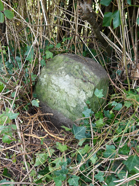
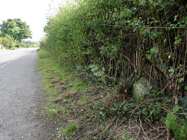
The woodland is characterized by a diverse range of tree species, including oak, beech, and birch, which create a stunning canopy of green foliage throughout the year. The forest floor is adorned with a variety of native wildflowers, adding bursts of color to the landscape.
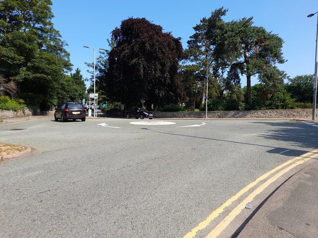
Several well-maintained walking trails wind their way through Coed Esgob, providing visitors with opportunities to explore the natural beauty of the area. The trails vary in difficulty, catering to both casual strollers and experienced hikers. Along the paths, visitors may encounter wildlife such as squirrels, rabbits, and a variety of bird species.
Coed Esgob is not only a haven for flora and fauna but also holds historical significance. It is believed that the wood was once part of the estate of the Bishops of St. Asaph, hence its name. The woodland has witnessed centuries of changes, from medieval times to the present day.
For those seeking tranquility and a connection with nature, Coed Esgob offers a peaceful retreat. Its idyllic setting, rich biodiversity, and historical context make it an exceptional destination for individuals and families looking to immerse themselves in the beauty of nature.
If you have any feedback on the listing, please let us know in the comments section below.
Coed Esgob Images
Images are sourced within 2km of 53.247351/-3.4679162 or Grid Reference SJ0273. Thanks to Geograph Open Source API. All images are credited.


Coed Esgob is located at Grid Ref: SJ0273 (Lat: 53.247351, Lng: -3.4679162)
Unitary Authority: Denbighshire
Police Authority: North Wales
What 3 Words
///toast.tasty.befitting. Near St Asaph, Denbighshire
Nearby Locations
Related Wikis

Bedd-y-Cawr Hillfort
Bedd-y-Cawr Hillfort, or Bedd y Cawr Hillfort, is an Iron Age hillfort on a natural inland promontory in the community of Cefnmeiriadog in Denbighshire...

Cefn Meiriadog
Cefn Meiriadog (sometimes Cefnmeriadog) is a rural community in Denbighshire, Wales, just south-west of the city of St Asaph. The boundary of the community...

St Asaph City F.C.
St Asaph City Football Club (Welsh: Clwb Pêl Droed Dinas Llanelwy) is a Welsh football team based in St Asaph, Denbighshire, Wales. They play in the Ardal...

St Asaph Cathedral
The Cathedral Church of Saints Asaph and Cyndeyrn, commonly called St Asaph Cathedral (Welsh: Eglwys Gadeiriol Llanelwy), is a cathedral in St Asaph, Denbighshire...

Diocese of St Asaph
The Diocese of Saint Asaph is a diocese of the Church in Wales in north-east Wales, named after Saint Asaph, its second bishop. == Geography == The Anglican...

St Asaph
St Asaph (; Welsh: Llanelwy [ɬanˈɛlʊɨ̯] "church on the Elwy") is a city and community on the River Elwy in Denbighshire, Wales. In the 2011 Census it had...
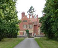
Wigfair Hall
Wigfair Hall is a large country house standing in an elevated position above the River Elwy near the village of Cefn Meiriadog, Denbighshire, Wales. It...
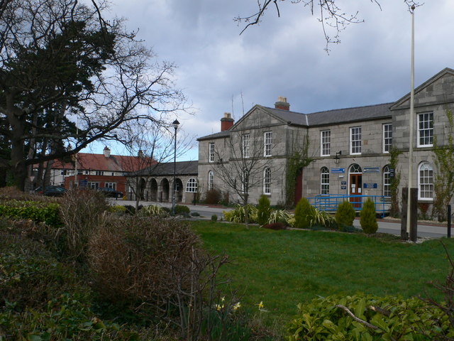
H.M. Stanley Hospital
H.M. Stanley Hospital (Welsh: Ysbyty H.M. Stanley) was a community hospital in St Asaph, Wales. It was managed by the Betsi Cadwaladr University Health...
Nearby Amenities
Located within 500m of 53.247351,-3.4679162Have you been to Coed Esgob?
Leave your review of Coed Esgob below (or comments, questions and feedback).