Cleughfoot Wood
Wood, Forest in Cumberland Carlisle
England
Cleughfoot Wood

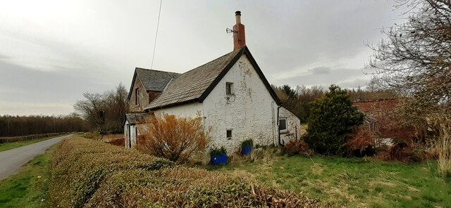
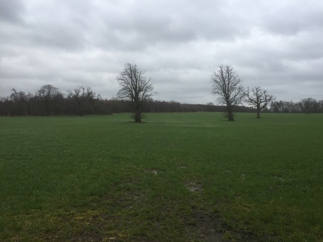
Cleughfoot Wood is a picturesque woodland located in the county of Cumberland, England. Situated on the outskirts of a small village, this tranquil forest covers an area of approximately 100 acres. The wood is known for its diverse range of tree species, including oak, ash, beech, and birch, which create a beautiful canopy overhead.
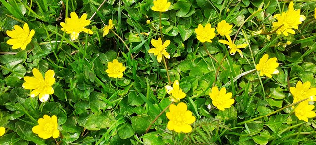
The forest is home to a rich variety of flora and fauna, making it a haven for nature enthusiasts and wildlife lovers. Visitors can spot numerous bird species, such as robins, thrushes, and woodpeckers, as well as small mammals like squirrels and rabbits. The wood is also frequented by deer, which adds to its allure.
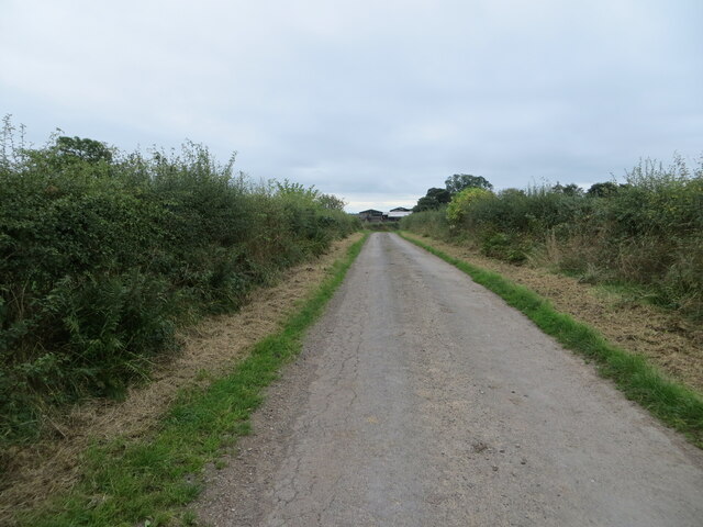
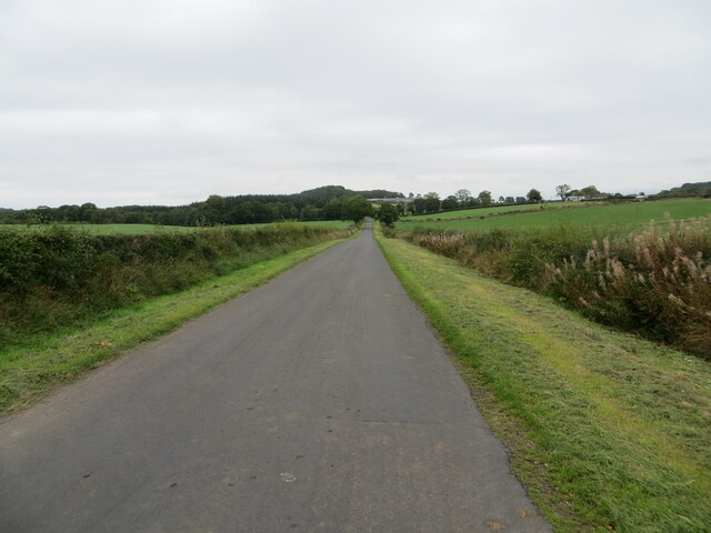
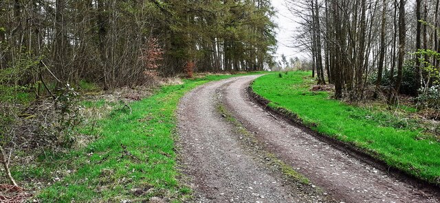
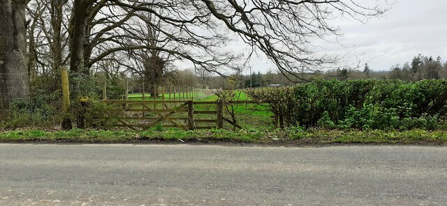
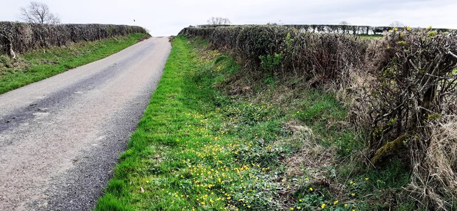
Cleughfoot Wood provides a peaceful and idyllic setting for walking, hiking, and exploring. A network of well-maintained trails weaves through the forest, allowing visitors to meander through the ancient trees and discover hidden gems along the way. The paths are suitable for all ages and abilities, making it a popular destination for families and individuals alike.
In addition to its natural beauty, Cleughfoot Wood has historical significance. It is believed to have been part of an ancient hunting ground and has remnants of old stone walls and boundary markers. These artifacts provide a glimpse into the area's past and add an element of mystery to the woodland.
Overall, Cleughfoot Wood in Cumberland offers a delightful escape into nature, boasting a diverse ecosystem, scenic trails, and a touch of history. It is a place where visitors can immerse themselves in the peacefulness of the forest and appreciate the wonders of the natural world.
If you have any feedback on the listing, please let us know in the comments section below.
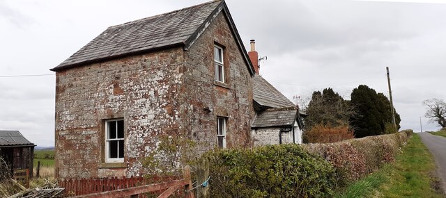
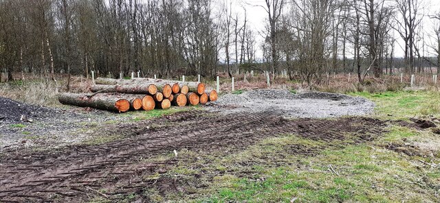
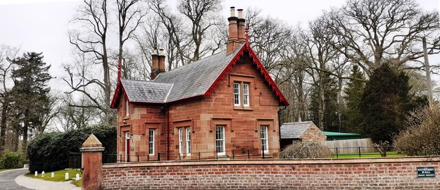
Cleughfoot Wood Images
Images are sourced within 2km of 55.031619/-2.946588 or Grid Reference NY3971. Thanks to Geograph Open Source API. All images are credited.


Cleughfoot Wood is located at Grid Ref: NY3971 (Lat: 55.031619, Lng: -2.946588)
Administrative County: Cumbria
District: Carlisle
Police Authority: Cumbria
What 3 Words
///stupidly.strut.founders. Near Longtown, Cumbria
Nearby Locations
Related Wikis

Coop House, Netherby
Coop House, near Netherby in Cumbria, England, is a small building by the River Esk, erected about 1772 as part of a salmon fishery project, and restored...

Scotch Dyke railway station
Scotch Dyke railway station was a railway station in Cumberland close to the Scots' Dike, the traditional border with Scotland. == History == The station...

Carwinley
Carwinley is a hamlet in Cumbria, England, located on the border with Scotland. It was first mentioned in 1202 as Karwindelhov.The ancient monument of...

Liddel Water
Liddel Water is a river running through southern Scotland and northern England, for much of its course forming the border between the two countries, and...

Battle of Arfderydd
The Battle of Arfderydd (also known as Arderydd) was fought in medieval Britain in AD 573, according to the Annales Cambriae. The opposing armies are identified...

Arthuret
Arthuret is a civil parish in the Carlisle district of Cumbria, England. According to the 2001 census it had a population of 2,434, increasing to 2,471...

Longtown railway station
Longtown railway station served the town of Longtown, Cumbria, England, from 1861 to 1970 on the Waverley Route. == History == The station opened on 29...

Longtown, Cumbria
Longtown is a market town in Cumbria, England, just south of the Scottish Border. It has a sheep market which was at the centre of the 2001 United Kingdom...
Nearby Amenities
Located within 500m of 55.031619,-2.946588Have you been to Cleughfoot Wood?
Leave your review of Cleughfoot Wood below (or comments, questions and feedback).