Rapehole Coppice
Wood, Forest in Somerset
England
Rapehole Coppice

Rapehole Coppice, located in Somerset, England, is a small but significant wood or forest that covers an area of approximately 50 acres. Situated within the larger Quantock Hills region, this coppice is known for its natural beauty and diverse flora and fauna.
The name "Rapehole" is derived from the Old English word "hrape," meaning "quick" or "fast," and "hol," meaning "hollow" or "hole." This name reflects the topography of the area, which is characterized by steep slopes and deep hollows. The coppice is primarily composed of broadleaf trees, including oak, ash, and beech, which provide a dense canopy and create a tranquil and shaded environment.
Rapehole Coppice is a popular destination for nature enthusiasts, hikers, and birdwatchers. The wood is home to a variety of wildlife, including deer, badgers, foxes, and numerous bird species such as woodpeckers and owls. The peaceful atmosphere and abundance of natural beauty make it an ideal location for those seeking solace and relaxation.
The wood's management is carried out by local authorities, who follow sustainable practices to maintain the health and diversity of the ecosystem. Regular thinning of trees is conducted to allow sunlight to reach the forest floor, promoting the growth of understory plants and providing habitats for small animals and insects.
Overall, Rapehole Coppice in Somerset offers a picturesque and serene environment for visitors to appreciate the beauty of nature and experience the tranquility of a well-preserved woodland habitat.
If you have any feedback on the listing, please let us know in the comments section below.
Rapehole Coppice Images
Images are sourced within 2km of 50.844888/-2.8634688 or Grid Reference ST3905. Thanks to Geograph Open Source API. All images are credited.


Rapehole Coppice is located at Grid Ref: ST3905 (Lat: 50.844888, Lng: -2.8634688)
Unitary Authority: Dorset
Police Authority: Dorset
What 3 Words
///broom.stems.chatters. Near Crewkerne, Somerset
Nearby Locations
Related Wikis
Blackdown Hill, Dorset
Blackdown Hill is a prominent elevation, 215 metres (705 ft) high, 5 miles (8.0 km) south west of the town of Crewkerne, in the county of Dorset in the...
Wayford
Wayford is a village and civil parish on the River Axe, 3 miles (5 km) south-west of Crewkerne, in the South Somerset district of Somerset, England....
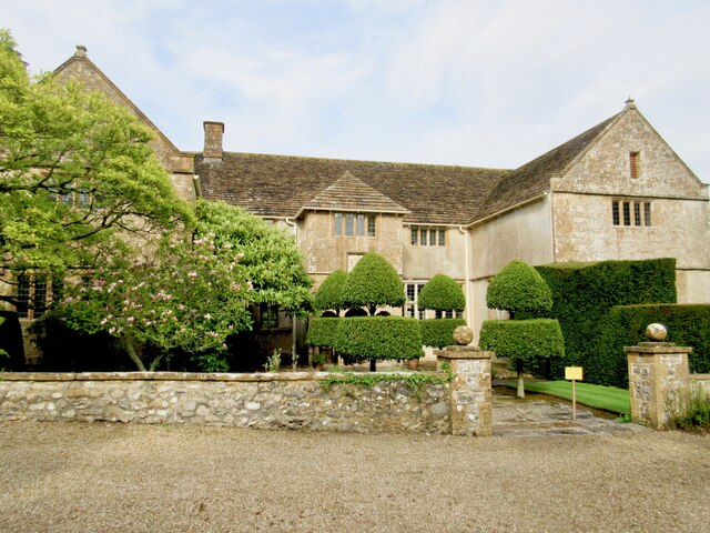
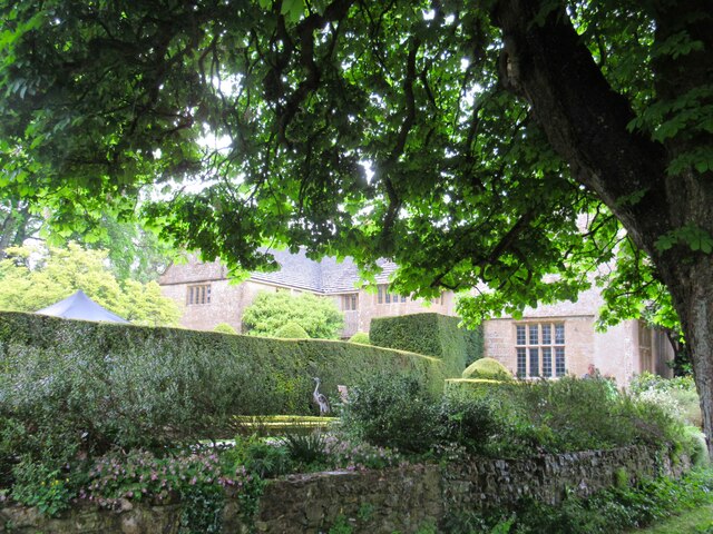
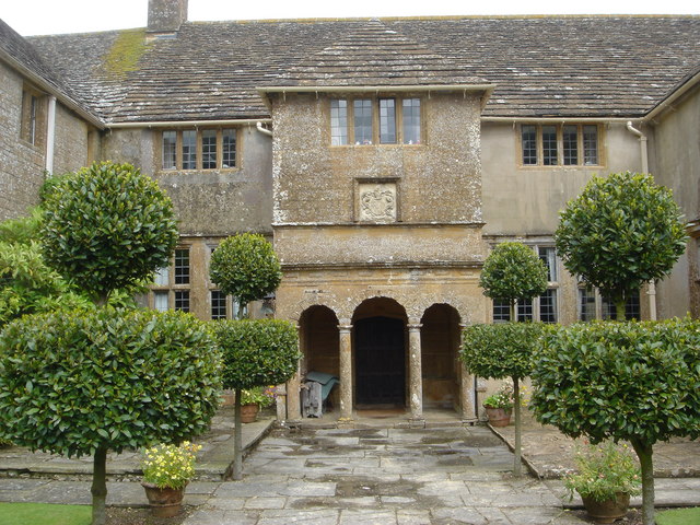
Wayford Manor House
Wayford Manor House is a country house with a garden in Britain, situated in Wayford, Somerset, England. It has been designated a Grade I listed building...
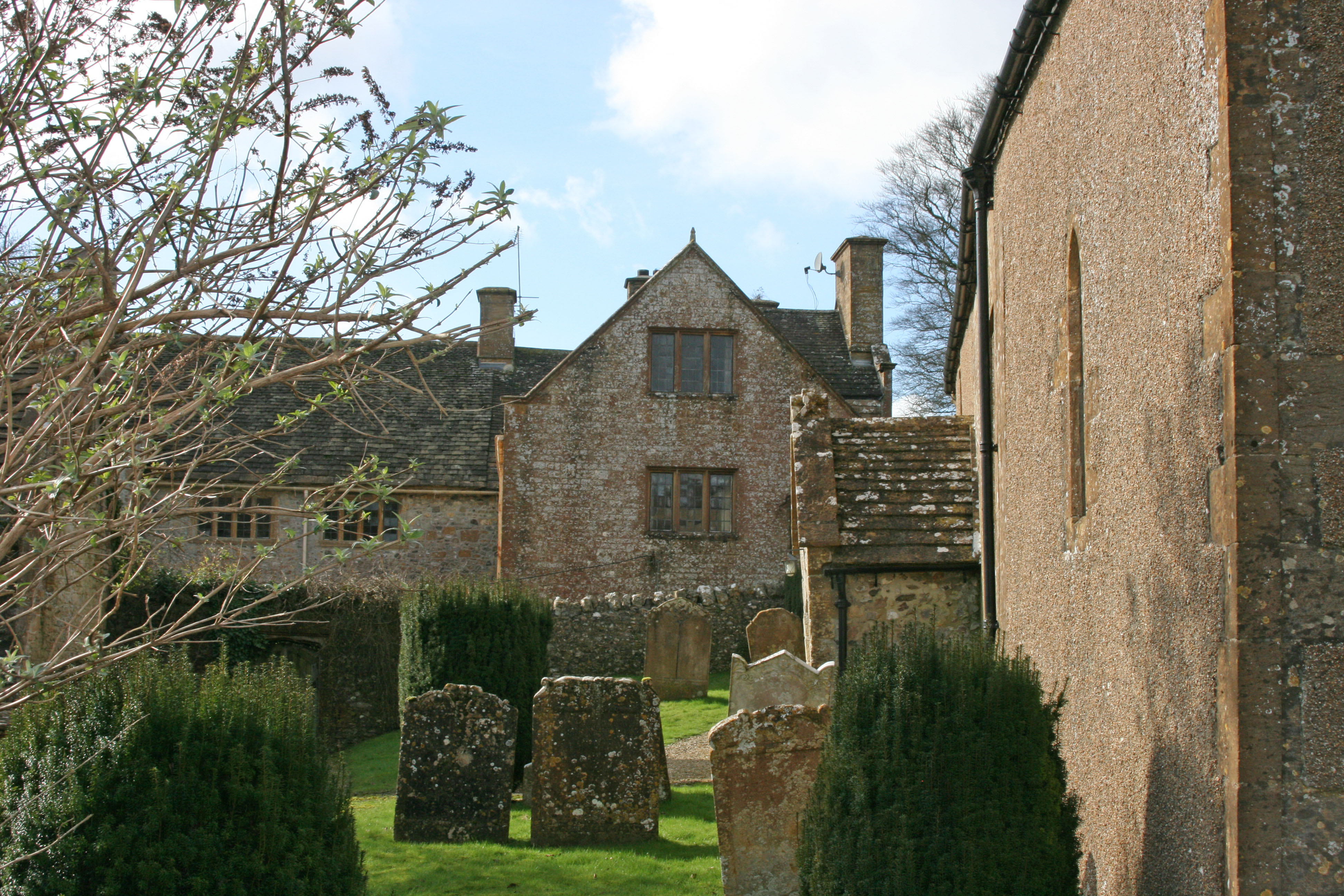
Church of St Michael, Wayford
The Anglican Church of St Michael in Wayford, Somerset, England was built in the 13th century. It is a Grade II* listed building. == History == The church...
Nearby Amenities
Located within 500m of 50.844888,-2.8634688Have you been to Rapehole Coppice?
Leave your review of Rapehole Coppice below (or comments, questions and feedback).