Brook Coppice

Wood, Forest in Shropshire

England

Brook Coppice

Back of Lordshill Baptist chapel
Back of Lordshill Baptist chapel Credit: Mike Parker

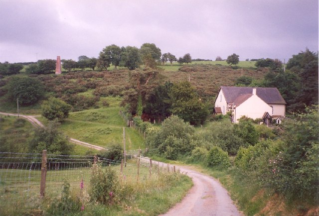
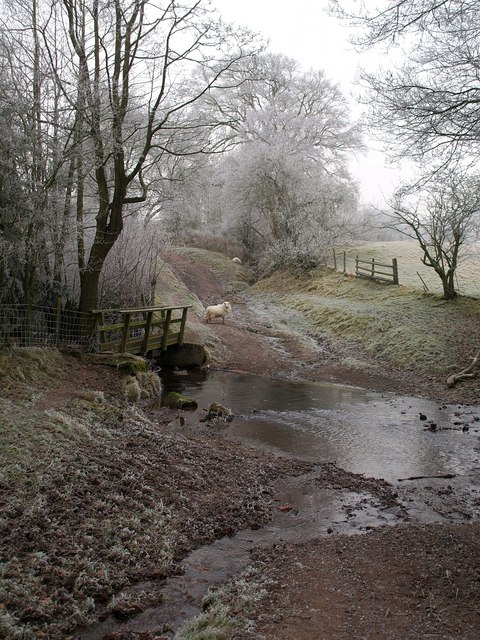
Brook Coppice is a picturesque woodland located in the county of Shropshire, England. It covers an area of approximately 50 acres and is known for its natural beauty and diverse range of flora and fauna. The coppice is situated on the outskirts of the village of Brook, nestled between rolling hills and meandering brooks.

The woodland is predominantly composed of deciduous trees, including oak, birch, and beech, which create a dense canopy overhead. This provides a habitat for a variety of woodland creatures, such as squirrels, badgers, and a wide range of bird species. The forest floor is adorned with a carpet of bluebells and other wildflowers during the springtime, creating a stunning display of colors.

Brook Coppice offers visitors a tranquil and serene environment, away from the hustle and bustle of city life. It is a popular destination for nature lovers, walkers, and photographers, who are drawn to its enchanting beauty and peaceful atmosphere. There are several walking trails that wind their way through the woodland, allowing visitors to explore its hidden corners and discover its hidden treasures.

The woodland is also home to a number of archaeological sites, including the remnants of an Iron Age settlement. These historical features add an extra layer of intrigue to the natural beauty of Brook Coppice, making it a fascinating destination for both nature enthusiasts and history buffs alike.

Overall, Brook Coppice is a hidden gem in the heart of Shropshire, offering visitors a chance to escape into a world of natural splendor and tranquility.

If you have any feedback on the listing, please let us know in the comments section below.

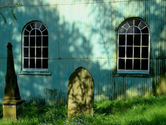
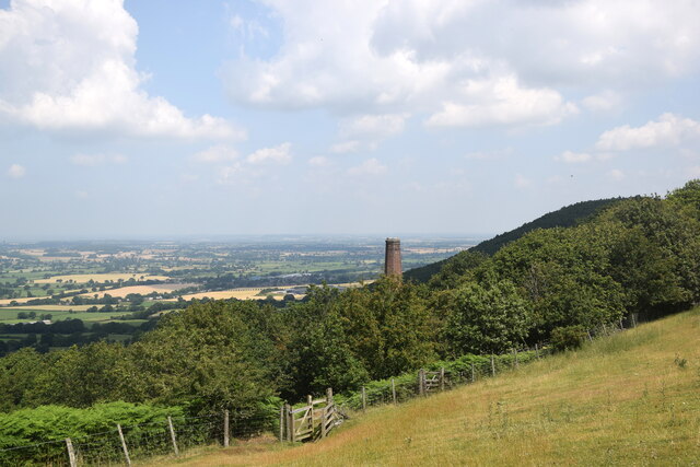
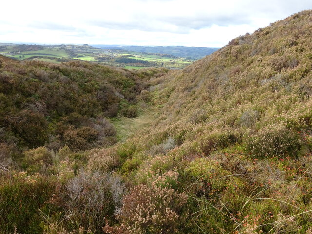
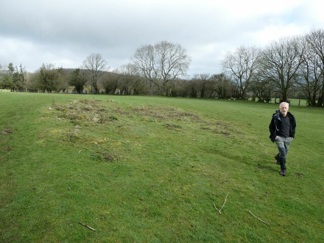
Brook Coppice Images

Images are sourced within 2km of 52.602352/-2.9014935 or Grid Reference SJ3900. Thanks to Geograph Open Source API. All images are credited.

Back of Lordshill Baptist chapel
Looking towards Snailbeach... ...including a former mine chimney and in the distance the village of Minsterley.
Looking towards Snailbeach...
...including a former mine chimney and in the distance the village of Minsterley.
Southern ramparts of Castle Ring fort on The Stiperstones Real defensive walls still very apparent. This patch is a beautifully sheltered hollow
Southern ramparts of Castle Ring fort on The Stiperstones
Real defensive walls still very apparent. This patch is a beautifully sheltered hollow
Ramparts of Castle Ring fort on The Stiperstones Looking north the outline of the old fort is very apparent and evocative
Ramparts of Castle Ring fort on The Stiperstones
Looking north the outline of the old fort is very apparent and evocative
Northern ramparts of the Castle Ring fort on The Stiperstones The defensive ramparts are large here, and the views north are to The Long Mountain and The Breidden hills
Northern ramparts of the Castle Ring fort on The Stiperstones
The defensive ramparts are large here, and the views north are to The Long Mountain and The Breidden hills
Southern ramparts of Castle Ring fort on The Stiperstones Substantial fort construction using the natural contours. Impressive glimpse of the upper reaches of Crowsnest Dingle
Southern ramparts of Castle Ring fort on The Stiperstones
Substantial fort construction using the natural contours. Impressive glimpse of the upper reaches of Crowsnest Dingle
Ancient tractor Long abandoned, once well used and valued, but a quiet, peaceful resting place
Ancient tractor
Long abandoned, once well used and valued, but a quiet, peaceful resting place
Crowsnest Dingle A footpath leads down from this spot, and what a beautiful walk it is down this secluded, forgotten valley
Crowsnest Dingle
A footpath leads down from this spot, and what a beautiful walk it is down this secluded, forgotten valley
Drainage reservoir near Lordshill Beautiful small stretch of water, supporting much wildlife I suspect
Drainage reservoir near Lordshill
Beautiful small stretch of water, supporting much wildlife I suspect
Disused reservoir at Snailbeach Nestling in Snailbeach Coppice is this peaceful old works reservoir, now a pleasant walking area and playground for the local youth
Disused reservoir at Snailbeach
Nestling in Snailbeach Coppice is this peaceful old works reservoir, now a pleasant walking area and playground for the local youth
The back of Lordshill Chapel The green corrugated rear comes as a surprise after the old faded plaster at the front of the chapel.
The back of Lordshill Chapel
The green corrugated rear comes as a surprise after the old faded plaster at the front of the chapel.
Walkers on the 2023 Pontesbury Potter cross a field The walk is a fixture in my calendar most years. You always meet nice, interesting, friendly, engaging and memorable walking companions. 

Plus we laugh 90% of the way round.
Walkers on the 2023 Pontesbury Potter cross a field
The walk is a fixture in my calendar most years. You always meet nice, interesting, friendly, engaging and memorable walking companions. Plus we laugh 90% of the way round.
Track Track through Heather and Whinberry moorland on the Stiperstones.  In the distance is the Devil's Chair, one of a number of rocky outcrops on the hill's summit ridge.
Track
Track through Heather and Whinberry moorland on the Stiperstones. In the distance is the Devil's Chair, one of a number of rocky outcrops on the hill's summit ridge.
Track Track through Heather and Whinberry moorland on the Stiperstones.  In the background are some of the rocky outcrops on the hill's summit ridge, Shepherd's Rock on the left and the Devil's Chair in the distance.
Track
Track through Heather and Whinberry moorland on the Stiperstones. In the background are some of the rocky outcrops on the hill's summit ridge, Shepherd's Rock on the left and the Devil's Chair in the distance.
Track Heather and Whinberry moorland on the Stiperstones.  In the distance is the Devil's Chair, one of a number of rocky outcrops on the hill's summit ridge.
Track
Heather and Whinberry moorland on the Stiperstones. In the distance is the Devil's Chair, one of a number of rocky outcrops on the hill's summit ridge.
Track Heather and Whinberry moorland on the Stiperstones.
Track
Heather and Whinberry moorland on the Stiperstones.
The Stiperstones Heather and Whinberry moorland on the Stiperstones above Mytton Dingle, leading down to the village of Stiperstones.  In the distance is Corndon Hill.
The Stiperstones
Heather and Whinberry moorland on the Stiperstones above Mytton Dingle, leading down to the village of Stiperstones. In the distance is Corndon Hill.
Track Track through Heather and Whinberry moorland on the Stiperstones.
Track
Track through Heather and Whinberry moorland on the Stiperstones.
Show me another place!

Brook Coppice is located at Grid Ref: SJ3900 (Lat: 52.602352, Lng: -2.9014935)

Unitary Authority: Shropshire

Police Authority: West Mercia

What 3 Words

///toothpick.talker.dinner. Near Minsterley, Shropshire

Related Wikis

Snailbeach Countryside Site

Snailbeach Countryside Site is an industrial archeology site in Shropshire. It is located three 3 miles (4.8 km) south of the village of Pontesbury and...

Snailbeach

Snailbeach is a village in Shropshire, England, located near Shrewsbury at grid reference SJ375025. The population details taken at the 2011 census can...

Eastridge Mountain Bike Trail Centre

Eastridge Mountain Bike Trail Centre is a free mountain biking venue in Shropshire, UK. The venue is developed and maintained by volunteers, and features...

Habberley, Shropshire

Habberley is a small village and former civil parish, now in the parish of Pontesbury, in the Shropshire district, in the ceremonial county of Shropshire...
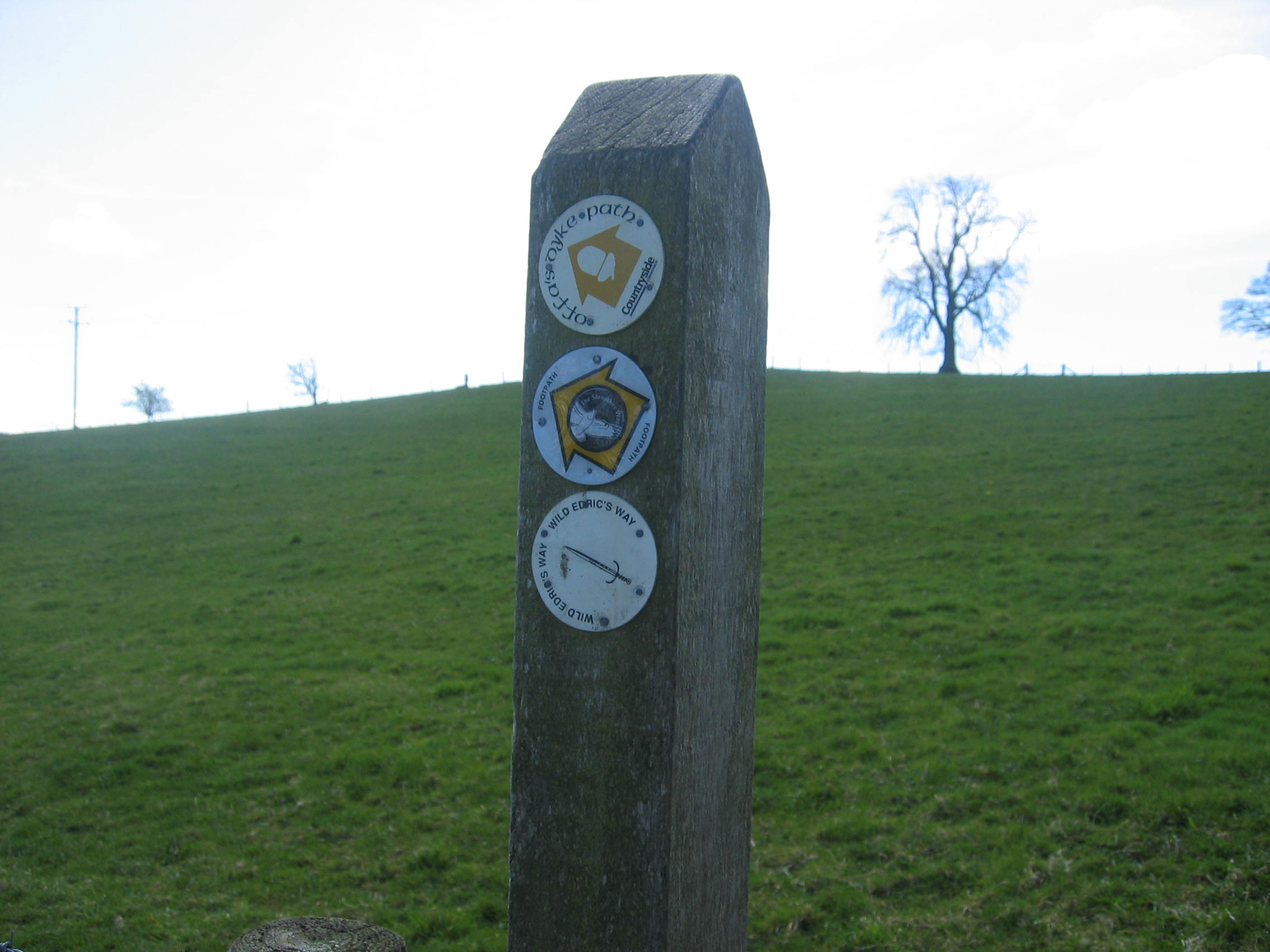
Wild Edric's Way

Wild Edric's Way is a waymarked long distance footpath running wholly within the county of Shropshire in England. The path runs for 49 miles (79 km), mostly...
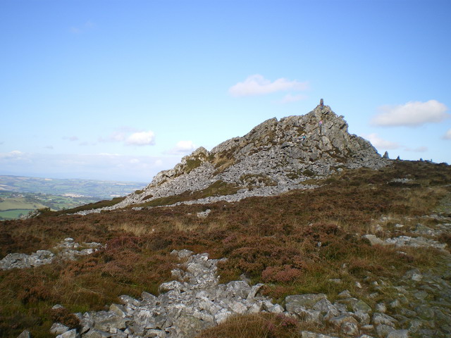
Stiperstones

The Stiperstones (Welsh: Carneddau Teon) is a distinctive hill in the county of Shropshire, England. The quartzite rock of the ridge formed some 480 million...

Poles Coppice countryside site

Poles Coppice countryside site is an area of ancient oak woodland with disused quarry workings, located around 0.5 miles (1 km) south of Pontesbury, Shropshire...

Ratlinghope

Ratlinghope (, locally also RAT-chəp) is a hamlet and civil parish in Shropshire, England. The population of the civil parish at the 2011 census was 138...

Nearby Amenities

Located within 500m of 52.602352,-2.9014935
The data included in this document is from www.openstreetmap.org. The data is made available under ODbL.

Have you been to Brook Coppice?

Leave your review of Brook Coppice below (or comments, questions and feedback).