Cockshoot Plantation

Wood, Forest in Herefordshire

England

Cockshoot Plantation

Byton Common Some years ago, grazing ceased on Byton Common, although there were ponies on the common when this picture was taken. The common has now changed from downland to dense woodland complete with the dreaded bracken. The first trees to appear were hawthorn followed by oak ash and hazel.
Byton Common Credit: Richard Webb

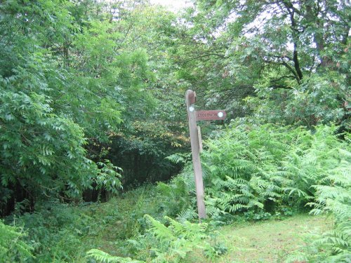
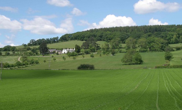
Cockshoot Plantation is a picturesque woodland located in the county of Herefordshire, England. Stretching over an area of approximately 100 acres, this enchanting forest is a haven for nature enthusiasts and outdoor adventurers alike.

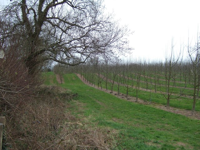
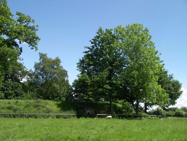
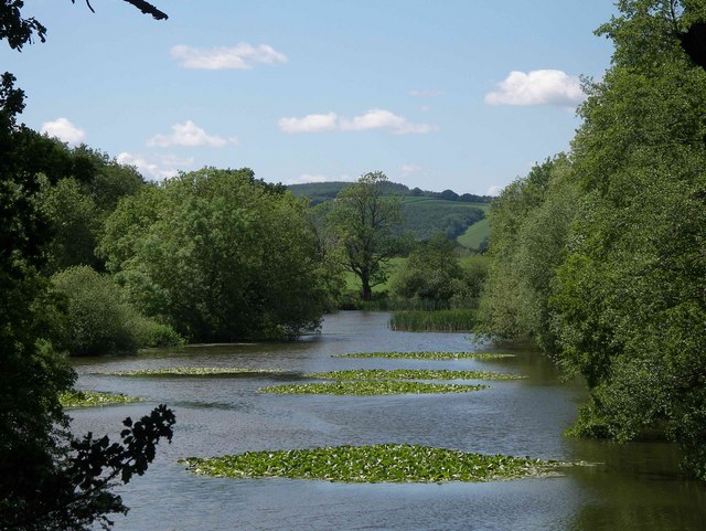
The plantation is characterized by its diverse range of tree species, including oak, beech, birch, and pine. The tall, majestic trees provide a dense canopy, creating a tranquil and shady atmosphere within the woodland. The forest floor is covered with a rich carpet of moss, ferns, and wildflowers, adding to the beauty of the surroundings.

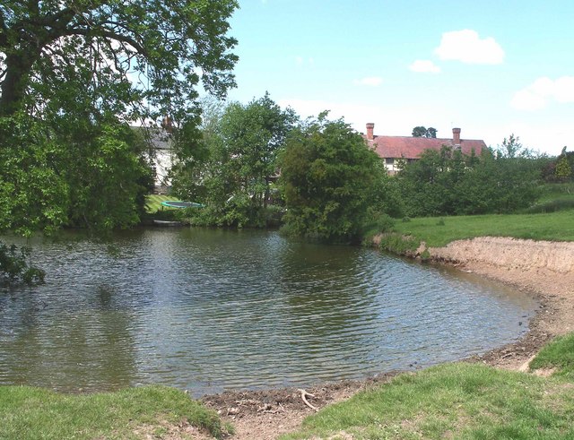
As visitors wander through the plantation, they can follow well-maintained footpaths that wind their way through the forest, offering glimpses of hidden ponds and meandering streams. These water features not only enhance the aesthetic appeal of Cockshoot Plantation but also provide habitats for various species of aquatic wildlife, such as frogs and newts.

Throughout the year, the woodland is teeming with a wide range of bird species, making it a popular destination for birdwatchers. From the melodious songs of song thrushes to the vibrant plumage of woodpeckers, the air is filled with the sounds and sights of these feathered creatures.

Cockshoot Plantation is not only a place of natural beauty but also a site of historical significance. It is believed that the woodland has been in existence for centuries, with evidence of human activity dating back to the medieval period. The ancient remains of charcoal pits can still be found within the plantation, serving as a reminder of its historical importance.

Overall, Cockshoot Plantation is a captivating woodland that offers a peaceful retreat from the hustle and bustle of everyday life. With its diverse flora and fauna, picturesque water features, and rich historical heritage, it is a place that truly encapsulates the beauty and tranquility of the Herefordshire countryside.

If you have any feedback on the listing, please let us know in the comments section below.

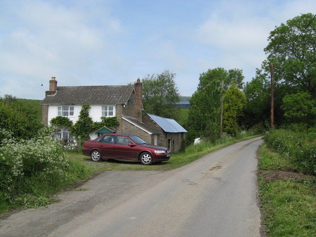
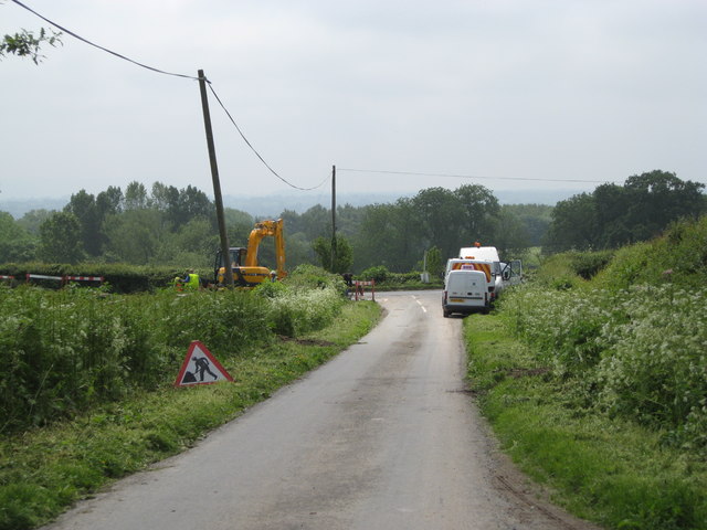
Cockshoot Plantation Images

Images are sourced within 2km of 52.255946/-2.8955061 or Grid Reference SO3862. Thanks to Geograph Open Source API. All images are credited.

Byton Common Some years ago, grazing ceased on Byton Common, although there were ponies on the common when this picture was taken. The common has now changed from downland to dense woodland complete with the dreaded bracken. The first trees to appear were hawthorn followed by oak ash and hazel.
Byton Common
Some years ago, grazing ceased on Byton Common, although there were ponies on the common when this picture was taken. The common has now changed from downland to dense woodland complete with the dreaded bracken. The first trees to appear were hawthorn followed by oak ash and hazel.
Orchard in Shobdon There is supposed to be a footpath diagonally across this field.
Orchard in Shobdon
There is supposed to be a footpath diagonally across this field.
Shobdon Airfield
Shobdon Airfield
Potato field, Milton House Newly prepared potato field.
Potato field, Milton House
Newly prepared potato field.
Shobdon Airfield Planes parked up at Shobdon. As well as the airstrip there are industrial sites around the perimeter.
Shobdon Airfield
Planes parked up at Shobdon. As well as the airstrip there are industrial sites around the perimeter.
Shobdon Airfield Helicopter hovering beyond the runway.
Shobdon Airfield
Helicopter hovering beyond the runway.
Shobdon Airfield Car park, the 'plane park is out of sight to the right.
Shobdon Airfield
Car park, the 'plane park is out of sight to the right.
Shobdon Airfield Parking for aircraft.
Shobdon Airfield
Parking for aircraft.
Pond at Lower Woodhouse Small pond adjacent to Lower Woodhouse farm. The historic farmhouse and farm buildings have been recently renovated and converted into dwellings.
Pond at Lower Woodhouse
Small pond adjacent to Lower Woodhouse farm. The historic farmhouse and farm buildings have been recently renovated and converted into dwellings.
Belgate Farm and Shobdon Hill Wood Mixed farm on slopes of Shobdon Hill.
Belgate Farm and Shobdon Hill Wood
Mixed farm on slopes of Shobdon Hill.
Uphampton Farm House This impressive Victorian house was built by Lord Bateham on his estate at Shobdon in 1858 as part of the development of a model farm. It was occupied by his farm steward.
Uphampton Farm House
This impressive Victorian house was built by Lord Bateham on his estate at Shobdon in 1858 as part of the development of a model farm. It was occupied by his farm steward.
Motte at Shobdon Court This Scheduled Monument is presumed to be an early Norman castle site. The flat topped mound was landscaped with trees in the 18th century. Photograph shows the south-facing bank.
Motte at Shobdon Court
This Scheduled Monument is presumed to be an early Norman castle site. The flat topped mound was landscaped with trees in the 18th century. Photograph shows the south-facing bank.
Canal Pool at Shobdon Park This small lake is probably a natural feature but it was landscaped in the 18th Century within the deer park of Shobdon Court.
Canal Pool at Shobdon Park
This small lake is probably a natural feature but it was landscaped in the 18th Century within the deer park of Shobdon Court.
Black and white cottage in Shobdon
The white orchards of the west A cider orchard by the approach road to Shobdon Airfield.
The white orchards of the west
A cider orchard by the approach road to Shobdon Airfield.
Shobdon - disused filling station
Shobdon - The Woodhouse
Shobdon - Woodhouse junction from The Woodhouse 2008 Welsh Water busy digging holes.
Shobdon - Woodhouse junction from The Woodhouse 2008
Welsh Water busy digging holes.
Show me another place!

Cockshoot Plantation is located at Grid Ref: SO3862 (Lat: 52.255946, Lng: -2.8955061)

Unitary Authority: County of Herefordshire

Police Authority: West Mercia

What 3 Words

///ringside.jobs.fabricate. Near Kinsham, Herefordshire

Related Wikis

Shobdon Court

Shobdon Court was an 18th-century English country house in the village of Shobdon, near Leominster, Herefordshire. Although the main house has since been...

St John's Church, Shobdon

The Church of St John is a Church of England parish church at Shobdon in the English county of Herefordshire. Of 14th century origins, the church was...

Shobdon

Shobdon is a village and civil parish in Herefordshire, England, about 15 miles north of Hereford, six miles west of Leominster, and 2 miles southwest...

Shobdon Priory

Shobdon Priory was a priory in Herefordshire, England at grid reference SO40106284. The church dated from 1140 and was demolished in the 18th century....

Nearby Amenities

Located within 500m of 52.255946,-2.8955061
Bus Stop
Birches
Naptan AtcoCode: 2090A115200
Naptan Bearing: SE
Naptan BusStopType: CUS
Naptan CommonName: Birches
Naptan Indicator: opp garage
Naptan Landmark: The Birches
Naptan NaptanCode: heradpta
Naptan Street: B4362
Naptan Verified: no
Source: naptan_import
Lat/Long: 52.252925/-2.8928638
Bus Stop
Birches
Naptan AtcoCode: 2090A18641
Naptan Bearing: NW
Naptan BusStopType: CUS
Naptan CommonName: Birches
Naptan Indicator: adj Garage
Naptan Landmark: The Birches
Naptan NaptanCode: herajadj
Naptan Street: B4362
Naptan Verified: no
Source: naptan_import
Lat/Long: 52.2527129/-2.8923761
Generator Method: photovoltaic
Generator Output Electricity: yes
Generator Source: solar
Generator Type: solar_photovoltaic_panel
Location: roof
Power: generator
Lat/Long: 52.2525217/-2.8932774
Generator Method: photovoltaic
Generator Output Electricity: yes
Generator Source: solar
Generator Type: solar_photovoltaic_panel
Location: roof
Power: generator
Lat/Long: 52.2592304/-2.8986686
The data included in this document is from www.openstreetmap.org. The data is made available under ODbL.

Have you been to Cockshoot Plantation?

Leave your review of Cockshoot Plantation below (or comments, questions and feedback).