Ash Landing Wood

Wood, Forest in Lancashire South Lakeland

England

Ash Landing Wood

Bowness piers Looking from just off the beach of Windermere at the piers where boats dock.
Bowness piers Credit: Oscar Taylor

Ash Landing Wood is a picturesque woodland located in Lancashire, England. Spanning an area of approximately 50 hectares, it is a natural beauty that attracts nature enthusiasts and outdoor enthusiasts alike. The wood is primarily composed of ash trees, hence its name, but it also features a diverse range of other tree species such as oak, beech, and birch.

The wood is known for its tranquil and peaceful ambiance, making it a popular destination for those seeking solitude and a break from the hustle and bustle of daily life. It offers a variety of walking trails that wind through the trees, providing visitors with the opportunity to explore the woodland at their own pace. These trails are well-maintained, making them accessible to people of all ages and fitness levels.

The forest floor of Ash Landing Wood is covered in a lush carpet of ferns, bluebells, and other wildflowers, creating a vibrant and enchanting atmosphere. Various species of wildlife call this wood their home, including deer, squirrels, and a wide range of bird species. Birdwatchers often flock to the area to catch a glimpse of rare and migratory birds that pass through the wood during certain seasons.

Ash Landing Wood is a protected area, ensuring the preservation of its natural beauty for future generations to enjoy. The woodland is also a designated Site of Special Scientific Interest (SSSI), highlighting its ecological significance. It provides a perfect escape for nature lovers to immerse themselves in the tranquility of this stunning woodland in Lancashire.

If you have any feedback on the listing, please let us know in the comments section below.

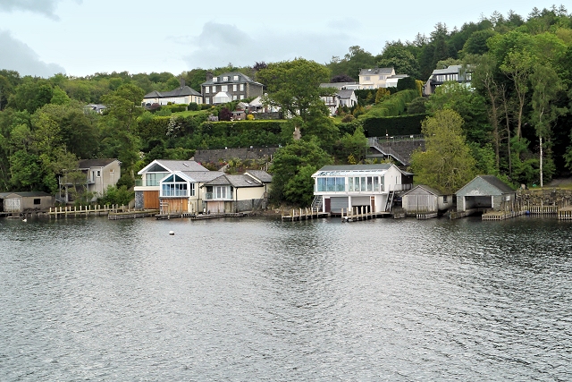
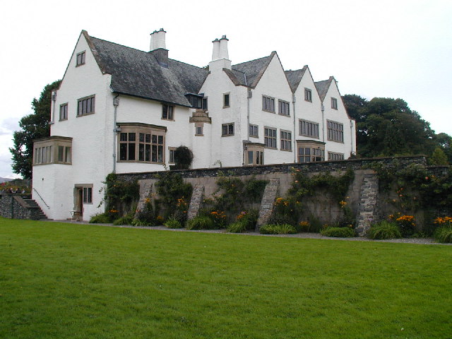
Ash Landing Wood Images

Images are sourced within 2km of 54.349781/-2.9455691 or Grid Reference SD3895. Thanks to Geograph Open Source API. All images are credited.

Bowness piers Looking from just off the beach of Windermere at the piers where boats dock.
Bowness piers
Looking from just off the beach of Windermere at the piers where boats dock.
Beach at Bowness The shingle beach at Bowness-on-Windermere. The white building is an arcade, casino and pub.
Beach at Bowness
The shingle beach at Bowness-on-Windermere. The white building is an arcade, casino and pub.
Swan on the boardwalk A swan sat serenely on the boardwalk beside the shingle beach at Windermere.
Swan on the boardwalk
A swan sat serenely on the boardwalk beside the shingle beach at Windermere.
Bowness shoreline The shoreline at Bowness, showing one of the landing stages to the left and the car park in the background.
Bowness shoreline
The shoreline at Bowness, showing one of the landing stages to the left and the car park in the background.
Looking out to Windermere Looking out over Windermere over two landing stages by the amusement arcade.
Looking out to Windermere
Looking out over Windermere over two landing stages by the amusement arcade.
Private road near Lindeth Howe This private access road from Meadowcroft Lane to Longtail Hill serves several houses and the Lindeth Howe Country House Hotel.
Private road near Lindeth Howe
This private access road from Meadowcroft Lane to Longtail Hill serves several houses and the Lindeth Howe Country House Hotel.
Bowness-on-Windermere: Blackwell, the Arts and Crafts House
Bowness-on-Windermere: Blackwell Bungalow
Bowness-on-Windermere: Blackwell, the Arts and Crafts House
Bowness-on-Windermere, Blackwell, the Arts and Crafts House: 'Germination' by Halima Cassell 2012
Bowness-on-Windermere: Blackwell, the Arts and Crafts House: Corner fireplace
Bowness-on-Windermere: Blackwell, the Arts and Crafts House: Sales area 1
Bowness-on-Windermere: Blackwell, the Arts and Crafts House: Sales area 2
Bowness-on-Windermere: Blackwell, the Arts and Crafts House: Stained glass window
Bowness-on-Windermere: Blackwell, the Arts and Crafts House: Carved oak rowan berry design
Bowness-on-Windermere: Blackwell, the Arts and Crafts House: The Main Hall
Bowness-on-Windermere: Blackwell, the Arts and Crafts House: The Main Hall Shand Kydd (designed by W. Dennington) Peacock Frieze wallpaper ca. 1905.
Bowness-on-Windermere: Blackwell, the Arts and Crafts House: The Main Hall
Shand Kydd (designed by W. Dennington) Peacock Frieze wallpaper ca. 1905.
Show me another place!

Ash Landing Wood is located at Grid Ref: SD3895 (Lat: 54.349781, Lng: -2.9455691)

Administrative County: Cumbria

District: South Lakeland

Police Authority: Cumbria

What 3 Words

///servicing.maker.calms. Near Windermere, Cumbria

Related Wikis

Hawkshead and Claife

Hawkshead and Claife is a National Trust property made up of much of the town of Hawkshead and surrounding Claife Woodlands in Cumbria, England. Overlooking...

Windermere Way

The Windermere Way is a 45-mile circuit of Windermere, a lake in the English Lake District. The route is wholly within the Lake District National Park...
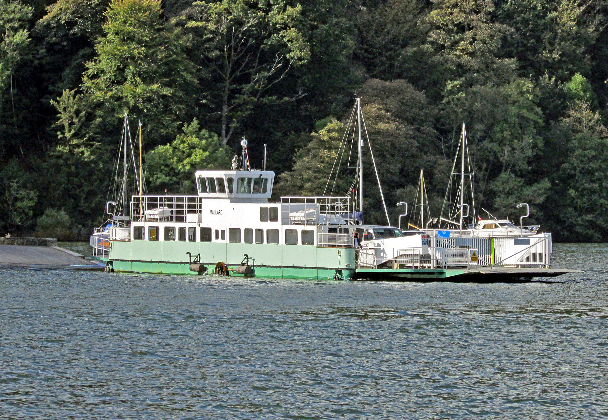
Windermere Ferry

The Windermere Ferry is a vehicular cable ferry which crosses Windermere, a lake in the English county of Cumbria. The ferry route forms part of the B5285...
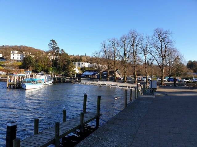
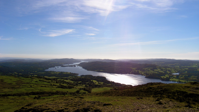
Windermere

Windermere (sometimes tautologically called Lake Windermere to distinguish it from the nearby town of Windermere) is a ribbon lake in Cumbria, England...

Storrs Hall

Storrs Hall is a hotel on the banks of Windermere in Storrs in the Lake District, Cumbria, England. The hotel, a Grade II* listed Georgian mansion, is...

Storrs, Cumbria

Storrs is a hamlet in the civil parish of Windermere and Bowness, in the Westmorland and Furness district of the ceremonial county of Cumbria, England...

Belle Isle (Windermere)

Belle Isle is the largest of 18 islands on Windermere, a mere in the English Lake District, and the only one ever to have been inhabited. It is 1 km in...

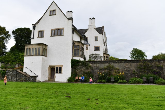
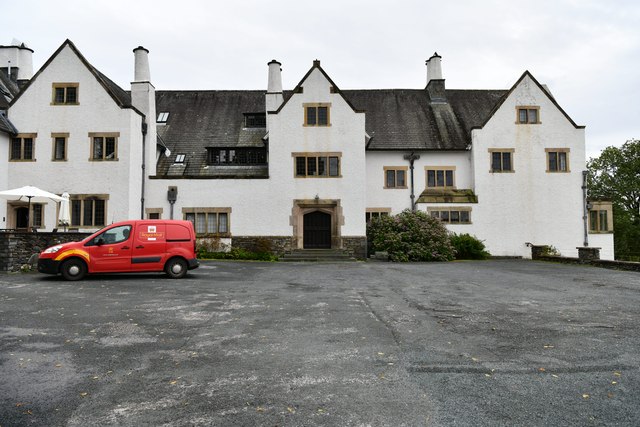
Blackwell (historic house)

Blackwell is a large house in the English Lake District, designed in the Arts and Crafts style by Baillie Scott. It was built in 1898–1900, as a holiday...

Nearby Amenities

Located within 500m of 54.349781,-2.9455691
Source: Landsat photo
Lat/Long: 54.3456295/-2.9456615
Source: Landsat photo
Lat/Long: 54.3465018/-2.944538
Source: Landsat photo
Lat/Long: 54.3467465/-2.9439892
Source: Landsat photo
Lat/Long: 54.3469765/-2.9431286
Source: Landsat photo
Lat/Long: 54.3473767/-2.9431178
Source: Landsat photo
Lat/Long: 54.3482897/-2.9436757
Source: Landsat photo
Lat/Long: 54.3492533/-2.9435081
Source: Landsat photo
Lat/Long: 54.350125/-2.9432775
Source: Landsat photo
Lat/Long: 54.3502425/-2.942057
Source: Landsat photo
Lat/Long: 54.3513919/-2.9410195
Source: Landsat photo
Lat/Long: 54.3514913/-2.9401996
Source: Landsat photo
Lat/Long: 54.3517977/-2.9393842
Source: Landsat photo
Lat/Long: 54.3529761/-2.9401401
Source: Landsat photo
Lat/Long: 54.3526314/-2.940061
Source: Landsat photo
Lat/Long: 54.3523018/-2.9397077
Source: Landsat photo
Lat/Long: 54.3520774/-2.9399014
Source: Landsat photo
Lat/Long: 54.3526981/-2.941884
Source: Landsat photo
Lat/Long: 54.3536485/-2.9421844
Bus Stop
Landing Stage (S)
Bus: yes
Local Ref: BY
Naptan AtcoCode: 090079131437
Naptan Bearing: S
Naptan CommonName: Landing Stage (S)
Naptan Indicator: by
Naptan Landmark: Access to Landing Stage
Naptan NaptanCode: cumdgtgj
Naptan Street: B5285
Naptan Verified: no
Public Transport: platform
Source: naptan_import
Lat/Long: 54.3495464/-2.9438552
Barrier: kissing_gate
Lat/Long: 54.3490904/-2.9519495
Ferry House Wastewater Pumping Station
Man Made: pumping_station
Operator: United Utilties
Lat/Long: 54.352384/-2.939649
Bus Stop
Bus: yes
Departures Board: timetable
Public Transport: platform
Shelter: no
Lat/Long: 54.3520804/-2.9393911
Information: guidepost
Tourism: information
Lat/Long: 54.3520641/-2.9395539
Vending Machine
Vending: excrement_bags
Lat/Long: 54.3519924/-2.9399412
Information: guidepost
Tourism: information
Lat/Long: 54.3520362/-2.9393993
A short history of this site
Board Type: history
Information: board
Tourism: information
Lat/Long: 54.3520401/-2.9398781
Information: board
Tourism: information
Lat/Long: 54.3519971/-2.9400069
Ash Landing Nature Reserve
Information: board
Tourism: information
Lat/Long: 54.3492359/-2.9442112
Hay Meadows
Board Type: nature
Information: board
Tourism: information
Lat/Long: 54.3485231/-2.9441093
Insects
Board Type: nature
Information: board
Tourism: information
Lat/Long: 54.3480892/-2.9442595
Coppice Woodlands
Board Type: nature
Information: board
Tourism: information
Lat/Long: 54.3480119/-2.9442112
Wetlands
Board Type: nature
Information: board
Tourism: information
Lat/Long: 54.3482925/-2.9447959
Bench
Lat/Long: 54.3484684/-2.9449153
Hedges
Board Type: nature
Information: board
Tourism: information
Lat/Long: 54.3485872/-2.9449354
Hiking: yes
Information: guidepost
Tourism: information
Lat/Long: 54.3481776/-2.9500933
Hiking: yes
Information: guidepost
Tourism: information
Lat/Long: 54.3490609/-2.9450843
Ash Landing Car Park
Information: map
Tourism: information
Lat/Long: 54.3501856/-2.9436875
Hiking: yes
Information: guidepost
Tourism: information
Lat/Long: 54.3503865/-2.9436057
Hiking: yes
Information: guidepost
Tourism: information
Lat/Long: 54.3507179/-2.9420467
Covered: yes
Leisure: picnic_table
Lat/Long: 54.3519537/-2.9416524
Leisure: picnic_table
Lat/Long: 54.3516715/-2.9417422
Information: guidepost
Tourism: information
Lat/Long: 54.3528449/-2.9451703
Sawrey Knotts
Place: locality
Lat/Long: 54.3518359/-2.9509959
The Held
Place: locality
Lat/Long: 54.3528004/-2.9477371
Red Brow
Place: locality
Lat/Long: 54.3515816/-2.947519
The data included in this document is from www.openstreetmap.org. The data is made available under ODbL.

Have you been to Ash Landing Wood?

Leave your review of Ash Landing Wood below (or comments, questions and feedback).