Lordshill Rough

Wood, Forest in Shropshire

England

Lordshill Rough

Newly Planted Orchard at Green Acres
Newly Planted Orchard at Green Acres Credit: Anthony Parkes

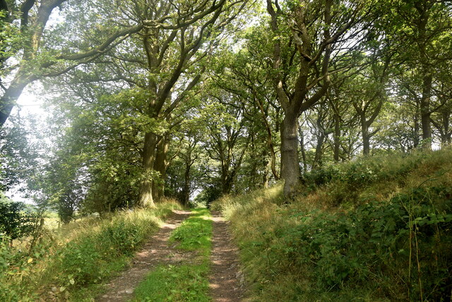
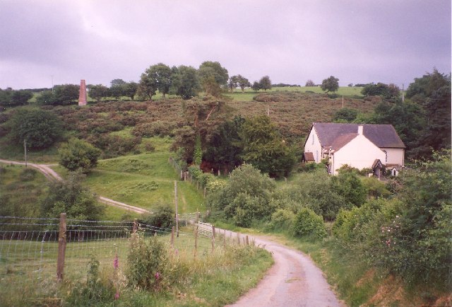
Lordshill Rough is a small woodland area located in the county of Shropshire, England. Covering an area of approximately 10 hectares, it is situated in close proximity to the village of Lordshill. The rough is known for its dense and ancient woodland, which is predominantly made up of oak and beech trees.

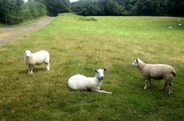
The woodland is characterized by its rugged terrain, with undulating slopes and rocky outcrops scattered throughout the area. This creates a diverse range of habitats, attracting a variety of wildlife species. Lordshill Rough is particularly renowned for its population of woodland birds, including woodpeckers, owls, and various songbirds.

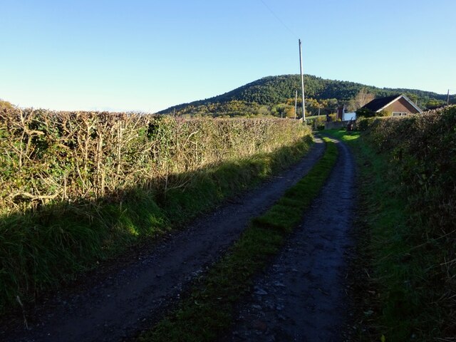
The rough is a popular destination for nature enthusiasts, offering numerous walking trails which allow visitors to explore the woodland and enjoy its natural beauty. These trails are well maintained and marked, making them accessible to people of all ages and abilities.

In addition to its natural beauty, Lordshill Rough also holds historical significance. The site is believed to have been used as a hunting ground by the Lords of Shropshire in the medieval period, hence its name. Evidence of ancient earthworks and boundary banks can still be seen in certain areas of the woodland.

Overall, Lordshill Rough is a picturesque and ecologically important woodland, providing a haven for wildlife and offering visitors a tranquil escape into nature.

If you have any feedback on the listing, please let us know in the comments section below.

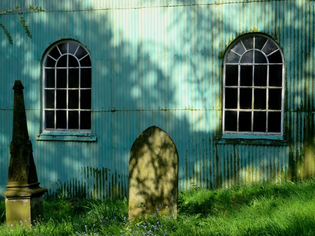
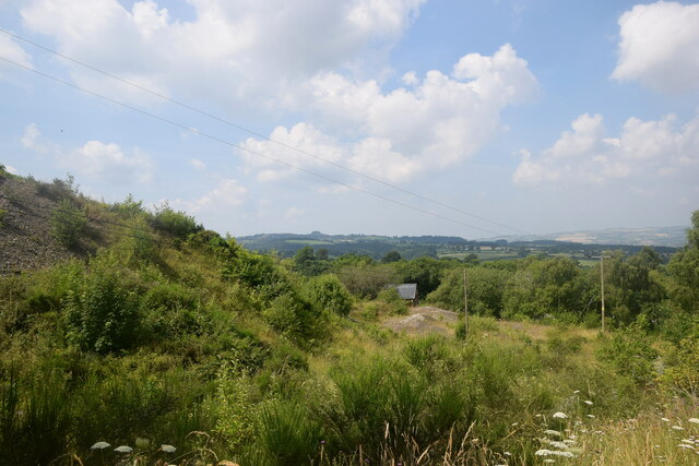
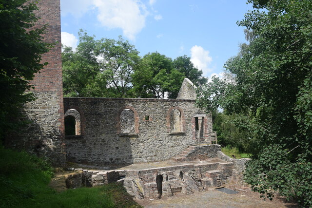
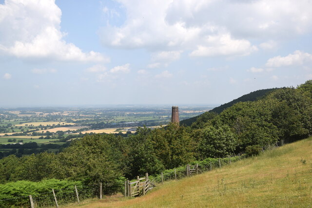
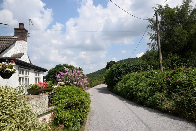
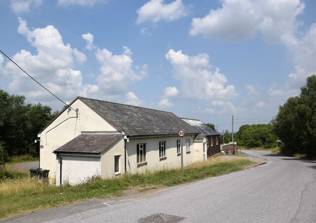
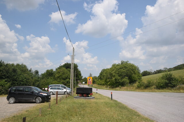
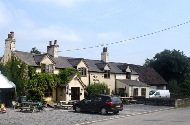
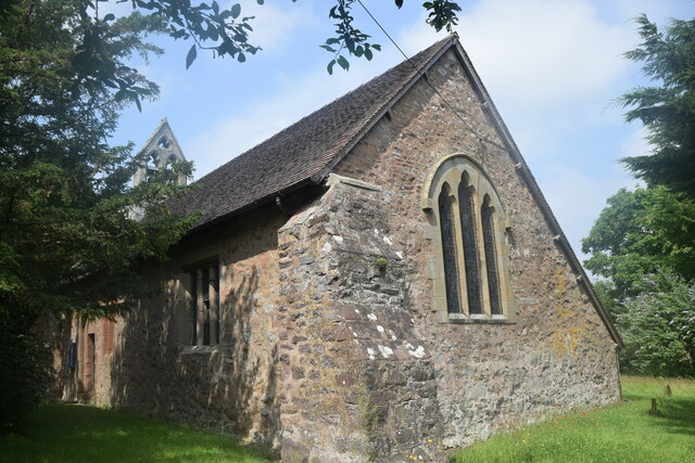
Lordshill Rough Images

Images are sourced within 2km of 52.617847/-2.9078531 or Grid Reference SJ3802. Thanks to Geograph Open Source API. All images are credited.

Newly Planted Orchard at Green Acres
Back of Lordshill Baptist chapel
Industrial wasteland Spoil heaps associated with the former Snailbeach lead mine.
Industrial wasteland
Spoil heaps associated with the former Snailbeach lead mine.
Remains of Snailbeach lead mine This, I think, is the remains of the boiler house.
Remains of Snailbeach lead mine
This, I think, is the remains of the boiler house.
Looking towards Snailbeach... ...including a former mine chimney and in the distance the village of Minsterley.
Looking towards Snailbeach...
...including a former mine chimney and in the distance the village of Minsterley.
Roadside cottage with flowers... ...just south of Snailbeach.
Roadside cottage with flowers...
...just south of Snailbeach.
Snailbeach village hall
Snailbeach scene The village hall car park and a replica tub or minecart (<span class="nowrap"><a title="https://en.wikipedia.org/wiki/Minecart" rel="nofollow ugc noopener" href="https://en.wikipedia.org/wiki/Minecart">Link</a><img style="margin-left:2px;" alt="External link" title="External link - shift click to open in new window" src="https://s1.geograph.org.uk/img/external.png" width="10" height="10"/></span> ) similar to the type once used at the nearby lead mines.
Snailbeach scene
The village hall car park and a replica tub or minecart (LinkExternal link ) similar to the type once used at the nearby lead mines.
The Mytton Arms, Habberley Named after John "Mad Jack" Mytton, a debauched 19th Century rake: <span class="nowrap"><a title="https://en.wikipedia.org/wiki/John_Mytton" rel="nofollow ugc noopener" href="https://en.wikipedia.org/wiki/John_Mytton">Link</a><img style="margin-left:2px;" alt="External link" title="External link - shift click to open in new window" src="https://s1.geograph.org.uk/img/external.png" width="10" height="10"/></span> .
The Mytton Arms, Habberley
Named after John "Mad Jack" Mytton, a debauched 19th Century rake: LinkExternal link .
St Mary's Church, Habberley The grade-II (LB1177028 <span class="nowrap"><a title="https://historicengland.org.uk/listing/the-list/list-entry/1177028" rel="nofollow ugc noopener" href="https://historicengland.org.uk/listing/the-list/list-entry/1177028">Link</a><img style="margin-left:2px;" alt="External link" title="External link - shift click to open in new window" src="https://s1.geograph.org.uk/img/external.png" width="10" height="10"/></span> ) church is thought to date from the 12th Century but was heavily rebuilt in the 19th Century.  Note the asymmetrical roofline and the gigantic buttress in the foreground.
St Mary's Church, Habberley
The grade-II (LB1177028 LinkExternal link ) church is thought to date from the 12th Century but was heavily rebuilt in the 19th Century. Note the asymmetrical roofline and the gigantic buttress in the foreground.
Forest walk... ...to Poles Coppice.
Forest walk...
...to Poles Coppice.
Shropshire sheep... ...taking it easy on a blisteringly hot summer day in July 2021.
Shropshire sheep...
...taking it easy on a blisteringly hot summer day in July 2021.
Track and footpath east of Snailbeach Looking back to Maddox’s Coppice
Track and footpath east of Snailbeach
Looking back to Maddox’s Coppice
Ancient tractor Long abandoned, once well used and valued, but a quiet, peaceful resting place
Ancient tractor
Long abandoned, once well used and valued, but a quiet, peaceful resting place
Crowsnest Dingle A footpath leads down from this spot, and what a beautiful walk it is down this secluded, forgotten valley
Crowsnest Dingle
A footpath leads down from this spot, and what a beautiful walk it is down this secluded, forgotten valley
Drainage reservoir near Lordshill Beautiful small stretch of water, supporting much wildlife I suspect
Drainage reservoir near Lordshill
Beautiful small stretch of water, supporting much wildlife I suspect
Disused reservoir at Snailbeach Nestling in Snailbeach Coppice is this peaceful old works reservoir, now a pleasant walking area and playground for the local youth
Disused reservoir at Snailbeach
Nestling in Snailbeach Coppice is this peaceful old works reservoir, now a pleasant walking area and playground for the local youth
Old rail tracks at Snailbeach mine workings An industrial nightmare back in the 19th century, now a nostalgic memory lane and photo opportunity
Old rail tracks at Snailbeach mine workings
An industrial nightmare back in the 19th century, now a nostalgic memory lane and photo opportunity
Show me another place!

Lordshill Rough is located at Grid Ref: SJ3802 (Lat: 52.617847, Lng: -2.9078531)

Unitary Authority: Shropshire

Police Authority: West Mercia

What 3 Words

///yours.hiring.trips. Near Minsterley, Shropshire

Nearby Locations

Lordshill Rough

Related Wikis

Eastridge Mountain Bike Trail Centre

Eastridge Mountain Bike Trail Centre is a free mountain biking venue in Shropshire, UK. The venue is developed and maintained by volunteers, and features...

Snailbeach

Snailbeach is a village in Shropshire, England, located near Shrewsbury at grid reference SJ375025. The population details taken at the 2011 census can...

Snailbeach Countryside Site

Snailbeach Countryside Site is an industrial archeology site in Shropshire. It is located three 3 miles (4.8 km) south of the village of Pontesbury and...

Habberley, Shropshire

Habberley is a small village and former civil parish, now in the parish of Pontesbury, in the Shropshire district, in the ceremonial county of Shropshire...

Nearby Amenities

Located within 500m of 52.617847,-2.9078531
Lords Hill
Ele: 364
Natural: peak
Lat/Long: 52.6169126/-2.9143042
The data included in this document is from www.openstreetmap.org. The data is made available under ODbL.

Have you been to Lordshill Rough?

Leave your review of Lordshill Rough below (or comments, questions and feedback).