Well Head Coppice

Wood, Forest in Lancashire South Lakeland

England

Well Head Coppice

Jetty at Bowness
Jetty at Bowness Credit: Eirian Evans

Well Head Coppice is a picturesque woodland area located in the county of Lancashire, England. Covering an area of approximately 20 hectares, this ancient woodland is a cherished natural gem in the region. It is situated near the village of Chipping, amidst the rolling hills and verdant countryside that characterizes the area.

The wood is predominantly made up of a variety of trees including oak, birch, and beech, creating a diverse and vibrant ecosystem. The dense canopy of the woodland provides shelter and habitat for a wide range of bird species, such as woodpeckers, owls, and thrushes, making it a popular destination for birdwatchers and nature enthusiasts.

Well Head Coppice is also home to an array of wildlife, including squirrels, badgers, and deer. The woodland floor is adorned with a rich tapestry of wildflowers, ferns, and mosses, adding to its natural beauty.

The wood has a network of footpaths and trails, allowing visitors to explore and immerse themselves in its tranquil surroundings. It is a popular spot for walking, jogging, and family picnics, offering a peaceful escape from the hustle and bustle of everyday life.

Well Head Coppice is not only a haven for nature lovers but also plays a crucial role in the conservation of Lancashire's biodiversity. The woodland is carefully managed by local authorities and conservation groups to ensure its long-term sustainability and protection for future generations to enjoy.

If you have any feedback on the listing, please let us know in the comments section below.

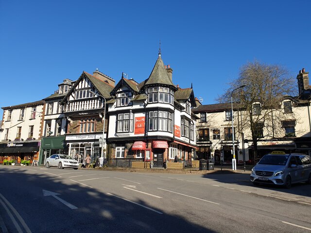
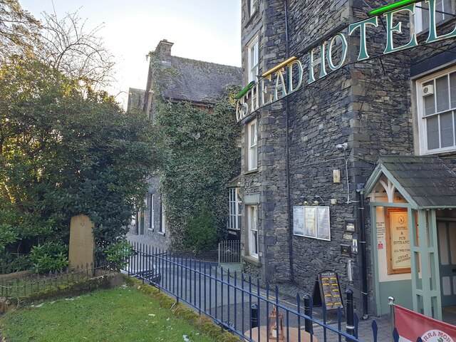
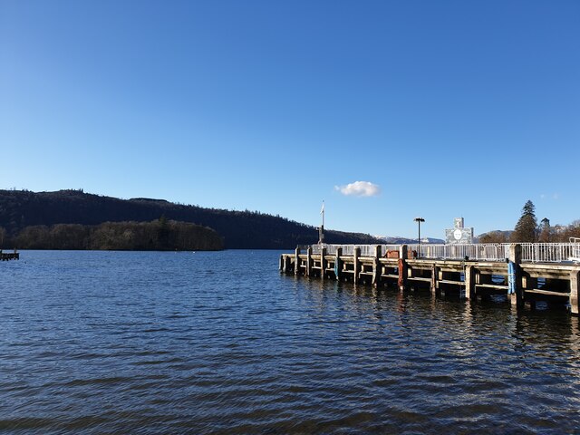
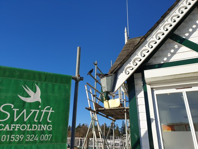
Well Head Coppice Images

Images are sourced within 2km of 54.359728/-2.9481521 or Grid Reference SD3896. Thanks to Geograph Open Source API. All images are credited.

Jetty at Bowness
Jetty at Bowness
The Porthole Eating House Now the Porto, Windermere.
The Porthole Eating House
Now the Porto, Windermere.
Double Rainbow over Bowness
St Martin's Church Looking at St Martin's Church from near to the lychgate.
St Martin's Church
Looking at St Martin's Church from near to the lychgate.
Bowness piers Looking from just off the beach of Windermere at the piers where boats dock.
Bowness piers
Looking from just off the beach of Windermere at the piers where boats dock.
You and Me A Chinese restaurant in Bowness-on-Windermere.
You and Me
A Chinese restaurant in Bowness-on-Windermere.
Mini roundabout in Ambleside A mini roundabout in Ambleside, on the A592, Rayrigg Road and Crag Brow.
Mini roundabout in Ambleside
A mini roundabout in Ambleside, on the A592, Rayrigg Road and Crag Brow.
Entrance to The World of Beatrix Potter The sloped entrance to The World of Beatrix Potter. It is a rather shabby looking entrance with bins around the back of the building.
Entrance to The World of Beatrix Potter
The sloped entrance to The World of Beatrix Potter. It is a rather shabby looking entrance with bins around the back of the building.
Shops on Ash Street / Crag Brow A row of shops on Ash Street and Crag Brow, next to the mini roundabout off the A592.

From right to left, the businesses are: Joules, The Fizzy Tarté (restaurant), Helen's Chocolates, Moxie Tea, British Heart Foundation (charity shop), Huttons Chocolates, Cook House Gallery, Shahib's (Indian restaurant and takeaway), The Hen House (clothes shop) and Mabel & Mu (pet care shop).
Shops on Ash Street / Crag Brow
A row of shops on Ash Street and Crag Brow, next to the mini roundabout off the A592. From right to left, the businesses are: Joules, The Fizzy Tarté (restaurant), Helen's Chocolates, Moxie Tea, British Heart Foundation (charity shop), Huttons Chocolates, Cook House Gallery, Shahib's (Indian restaurant and takeaway), The Hen House (clothes shop) and Mabel & Mu (pet care shop).
St Martin's Church lychgate The lychgate leading into St Martin's Church in Bowness.
St Martin's Church lychgate
The lychgate leading into St Martin's Church in Bowness.
St Martin's Church tower The tower of St Martin's Church, with a clock kept to time blended in with the stone.
St Martin's Church tower
The tower of St Martin's Church, with a clock kept to time blended in with the stone.
St Martin's Church tower The tower viewed from the rear of St Martin's Church, above the small 'extension' to the rear.
St Martin's Church tower
The tower viewed from the rear of St Martin's Church, above the small 'extension' to the rear.
Church Street from churchyard Church Street and Stags Head Hotel from the churchyard. The middle section of the street is pedestrianised.
Church Street from churchyard
Church Street and Stags Head Hotel from the churchyard. The middle section of the street is pedestrianised.
Path to rear of St Martin's Church The path leading to Church Street from the churchyard of St Martin's Church.
Path to rear of St Martin's Church
The path leading to Church Street from the churchyard of St Martin's Church.
Landing stage for hire boats The long landing stage into Windermere used for hire boats.
Landing stage for hire boats
The long landing stage into Windermere used for hire boats.
Between the landing stages Looking out onto Windermere from the shingle beach between two landing stages used for hire boats.
Between the landing stages
Looking out onto Windermere from the shingle beach between two landing stages used for hire boats.
Bowness Pier The main pier at Bowness, viewed from the dock.
Bowness Pier
The main pier at Bowness, viewed from the dock.
Crows by Swift Scaffolding Two crows enjoying the scaffolding on the building beside the pier at Bowness.
Crows by Swift Scaffolding
Two crows enjoying the scaffolding on the building beside the pier at Bowness.
Show me another place!

Well Head Coppice is located at Grid Ref: SD3896 (Lat: 54.359728, Lng: -2.9481521)

Administrative County: Cumbria

District: South Lakeland

Police Authority: Cumbria

What 3 Words

///storming.quote.truck. Near Windermere, Cumbria

Related Wikis

Windermere Way

The Windermere Way is a 45-mile circuit of Windermere, a lake in the English Lake District. The route is wholly within the Lake District National Park...
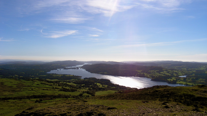
Windermere

Windermere (sometimes tautologically called Lake Windermere to distinguish it from the nearby town of Windermere) is a ribbon lake in Cumbria, England...

Belle Isle (Windermere)

Belle Isle is the largest of 18 islands on Windermere, a mere in the English Lake District, and the only one ever to have been inhabited. It is 1 km in...

Claife Heights

Claife Heights is an upland area in the Lake District, near to Windermere in Cumbria, England. It has a topographic prominence of 177 metres (581 ft) so...

Hawkshead and Claife

Hawkshead and Claife is a National Trust property made up of much of the town of Hawkshead and surrounding Claife Woodlands in Cumbria, England. Overlooking...
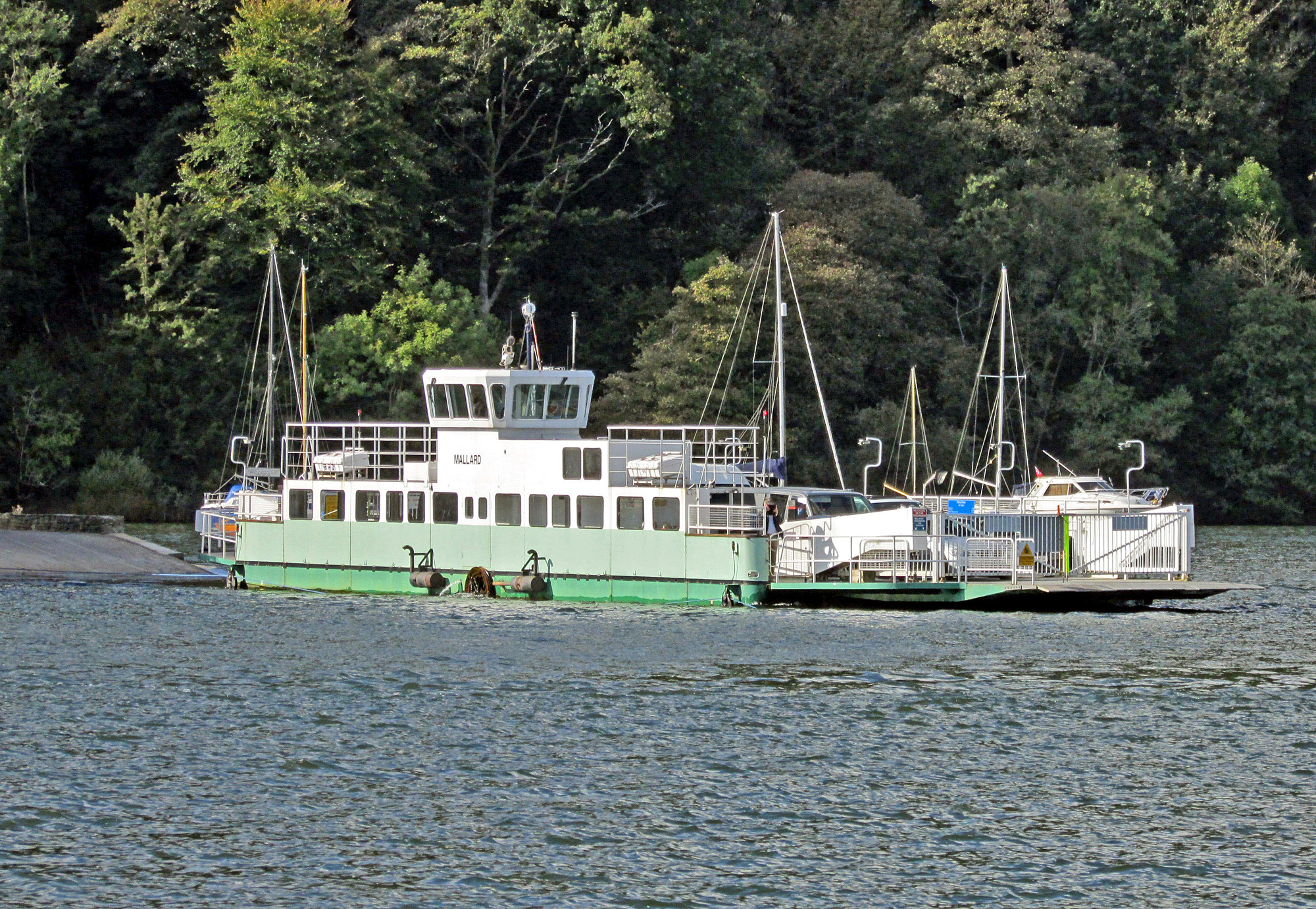
Windermere Ferry

The Windermere Ferry is a vehicular cable ferry which crosses Windermere, a lake in the English county of Cumbria. The ferry route forms part of the B5285...

Moss Eccles Tarn

Moss Eccles Tarn is a tarn on Claife Heights, near Near Sawrey in the Lake District, Cumbria. It is currently owned by the National Trust and known as...

Claife

Claife is a civil parish in the South Lakeland district of Cumbria, England. It is situated west of Windermere, and east of Esthwaite Water and the village...

Nearby Amenities

Located within 500m of 54.359728,-2.9481521
Source: Landsat photo
Lat/Long: 54.3586002/-2.9416587
Source: Landsat photo
Lat/Long: 54.3593575/-2.9417327
Source: Landsat photo
Lat/Long: 54.3598202/-2.9411775
Source: Landsat photo
Lat/Long: 54.3599757/-2.9413461
Source: Landsat photo
Lat/Long: 54.3604007/-2.941369
Source: Landsat photo
Lat/Long: 54.3612723/-2.9420084
Source: Landsat photo
Lat/Long: 54.3619095/-2.9420001
Source: Landsat photo
Lat/Long: 54.3621908/-2.9421718
Source: GPS track and recent walk
Lat/Long: 54.357156/-2.949357
Bench
Lat/Long: 54.3636222/-2.9507743
Scale Ivy
Ele: 229
Natural: peak
Lat/Long: 54.3598568/-2.953792
Barrier: kissing_gate
Lat/Long: 54.3571524/-2.9493353
Belt Ash Coppice
Natural: wood
Lat/Long: 54.3621584/-2.94948
The data included in this document is from www.openstreetmap.org. The data is made available under ODbL.

Have you been to Well Head Coppice?

Leave your review of Well Head Coppice below (or comments, questions and feedback).