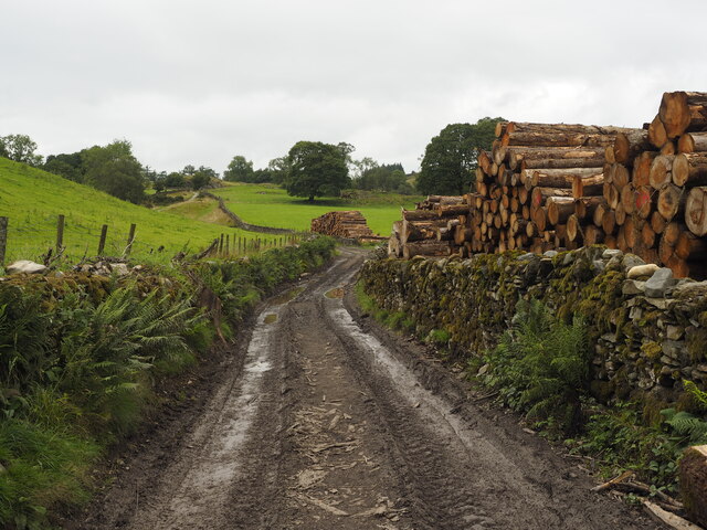
Birkley Moss
Wood, Forest in Lancashire South Lakeland
England
Birkley Moss
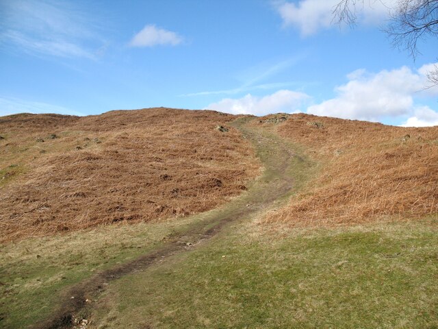
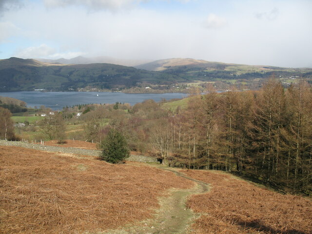
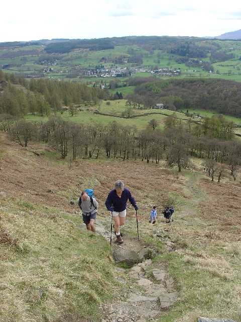
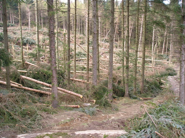
Birkley Moss is a picturesque woodland area located in the county of Lancashire, England. Situated near the village of Birkley, this vast expanse of moss-covered land is a haven for nature enthusiasts and those seeking a peaceful retreat from the hustle and bustle of urban life.
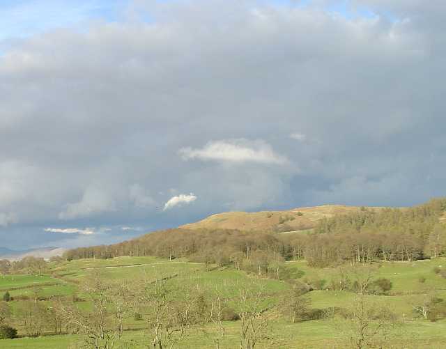
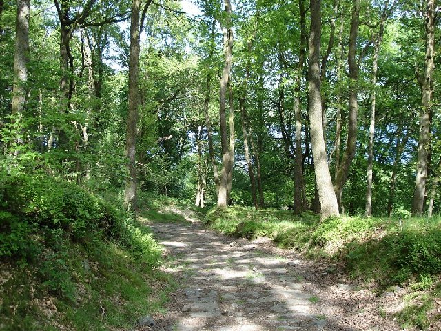
Covering an area of approximately 500 acres, Birkley Moss is characterized by dense forests, towering trees, and a rich diversity of wildlife. The woodland is predominantly composed of oak, birch, and pine trees, creating a stunning tapestry of green hues throughout the year. The forest floor is adorned with a carpet of vibrant wildflowers, adding to the area's natural beauty.
Birkley Moss is a paradise for birdwatchers, as it is home to a wide array of bird species, including the common buzzard, tawny owl, and woodpecker. The area's tranquil atmosphere and abundance of natural resources provide the perfect environment for these feathered creatures to thrive.
In addition to its biological significance, Birkley Moss also holds historical and cultural importance. The woodland has remnants of ancient settlements, including burial mounds and stone circles, which indicate human presence in the area dating back to prehistoric times. These archaeological features attract history enthusiasts and archaeologists, who are keen to explore the secrets of Birkley Moss's past.
Overall, Birkley Moss offers a serene and enchanting woodland experience. Its unspoiled natural beauty, diverse wildlife, and rich history make it a must-visit destination for those seeking a connection with nature and an escape from the modern world.
If you have any feedback on the listing, please let us know in the comments section below.
Birkley Moss Images
Images are sourced within 2km of 54.37576/-2.9563575 or Grid Reference SD3798. Thanks to Geograph Open Source API. All images are credited.


Birkley Moss is located at Grid Ref: SD3798 (Lat: 54.37576, Lng: -2.9563575)
Administrative County: Cumbria
District: South Lakeland
Police Authority: Cumbria
What 3 Words
///snores.export.endearing. Near Windermere, Cumbria
Nearby Locations
Related Wikis

Claife
Claife is a civil parish in the South Lakeland district of Cumbria, England. It is situated west of Windermere, and east of Esthwaite Water and the village...

Claife Heights
Claife Heights is an upland area in the Lake District, near to Windermere in Cumbria, England. It has a topographic prominence of 177 metres (581 ft) so...

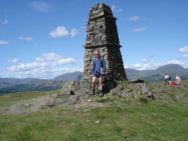
Latterbarrow
Latterbarrow is a hill in the English Lake District, east of Hawkshead, Cumbria. It is the subject of a chapter of Wainwright's book The Outlying Fells...

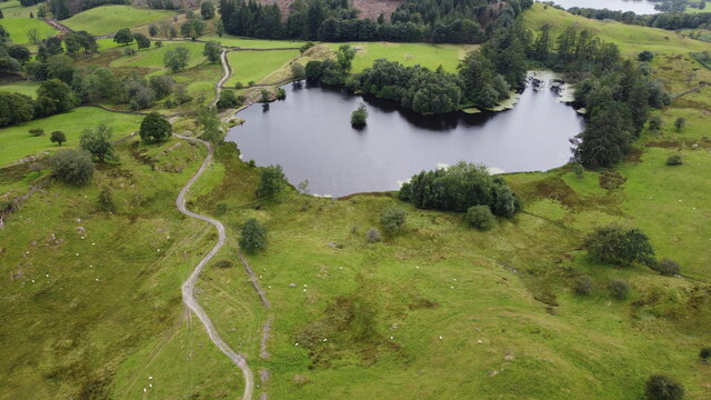
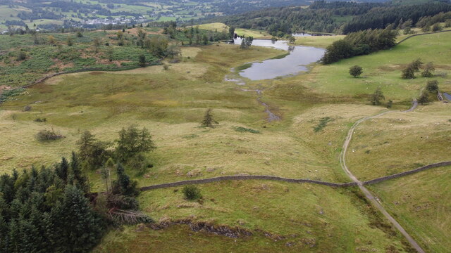
Moss Eccles Tarn
Moss Eccles Tarn is a tarn on Claife Heights, near Near Sawrey in the Lake District, Cumbria. It is currently owned by the National Trust and known as...

Belle Isle (Windermere)
Belle Isle is the largest of 18 islands on Windermere, a mere in the English Lake District, and the only one ever to have been inhabited. It is 1 km in...
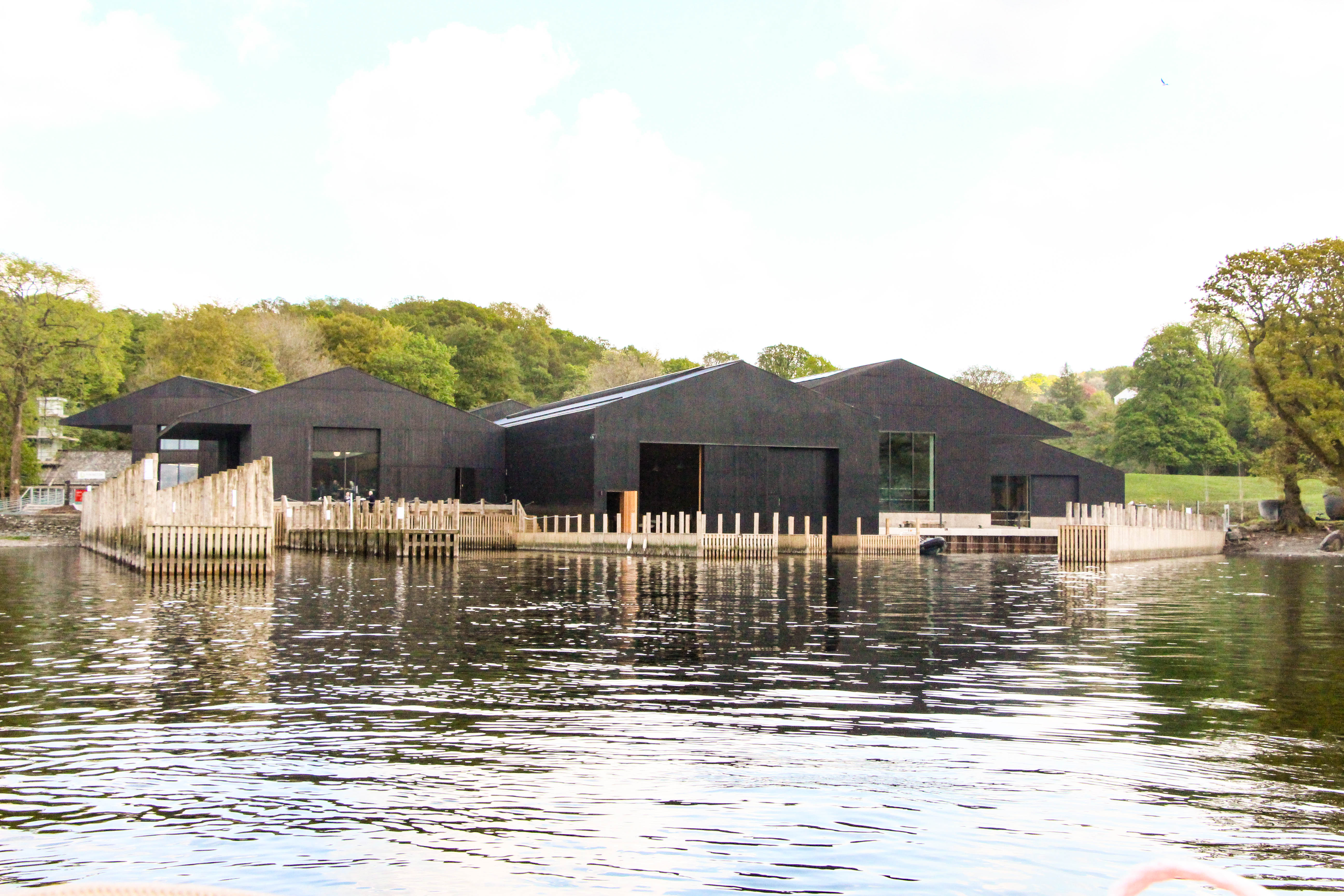
Windermere Jetty: Museum of Boats, Steam and Stories
Windermere Jetty: Museum of Boats, Steam and Stories (formerly Windermere Steamboat Museum) is a museum on the eastern shore of Windermere between Bowness...

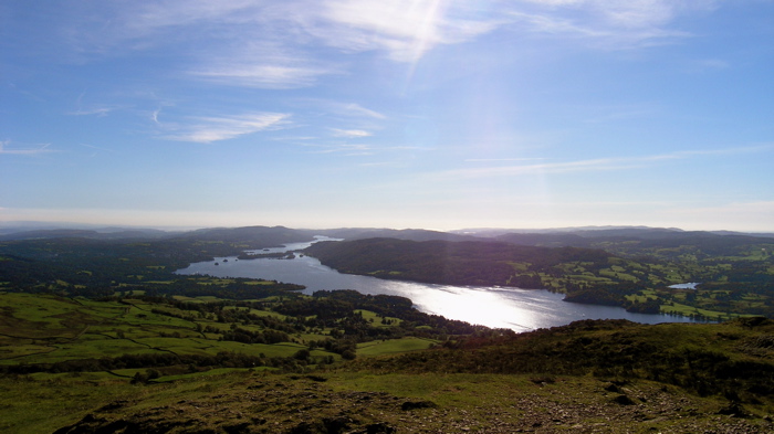
Windermere
Windermere (sometimes tautologically called Lake Windermere to distinguish it from the nearby town of Windermere) is a ribbon lake in Cumbria, England...
Windermere Way
The Windermere Way is a 45-mile circuit of Windermere, a lake in the English Lake District. The route is wholly within the Lake District National Park...
Nearby Amenities
Located within 500m of 54.37576,-2.9563575Have you been to Birkley Moss?
Leave your review of Birkley Moss below (or comments, questions and feedback).