Long Height

Downs, Moorland in Lancashire South Lakeland

England

Long Height

Path on Latterbarrow This is the path from Claife Heights, leading up the south ridge towards the summit of Latterbarrow.
Path on Latterbarrow Credit: Adrian Taylor

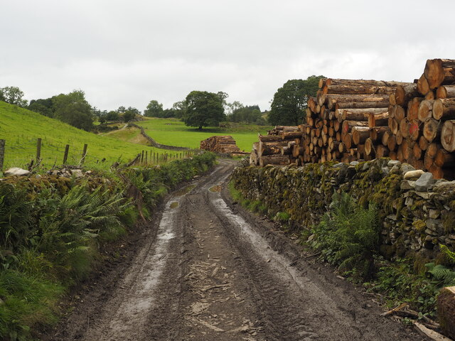
Long Height is a picturesque region located in the county of Lancashire, England. Nestled amidst the county's rolling hills and lush green landscapes, it is renowned for its stunning downs and moorland. With an area spanning several miles, Long Height offers visitors a tranquil and idyllic retreat away from the hustle and bustle of city life.

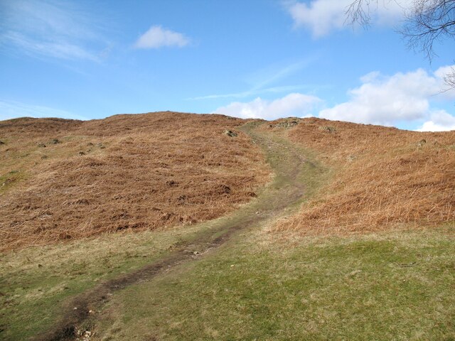
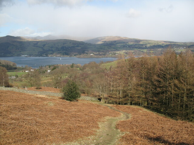
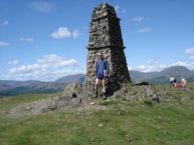
The downs of Long Height are characterized by their wide, open spaces and gentle slopes. These grassy expanses are perfect for leisurely walks and picnics, allowing visitors to immerse themselves in the natural beauty of the area. The downs are also home to a diverse array of flora and fauna, attracting nature enthusiasts and bird watchers throughout the year.

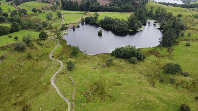
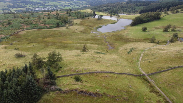
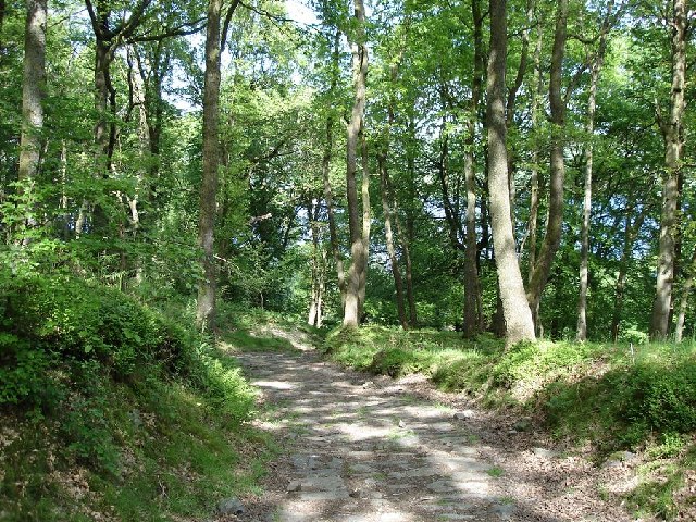
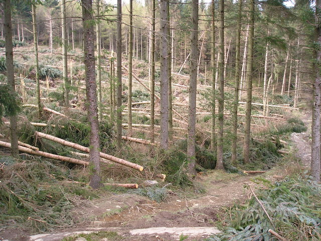
In addition to its downs, Long Height boasts extensive moorland that stretches as far as the eye can see. This rugged terrain is covered in heather, giving it a vibrant purple hue during the summer months. The moorland is intersected by streams and rivers, creating a stunning tapestry of cascading waterfalls and tranquil pools.

Long Height is also steeped in history, with archaeological sites scattered across the region. These sites offer a glimpse into the area's rich past, with remnants of ancient settlements and burial grounds dating back centuries. History enthusiasts can explore these sites and learn about the people who once called Long Height home.

Overall, Long Height in Lancashire provides visitors with a unique and captivating natural experience. Whether it is exploring the downs, wandering through the moorland, or delving into its history, this region offers a serene and captivating escape for all who visit.

If you have any feedback on the listing, please let us know in the comments section below.
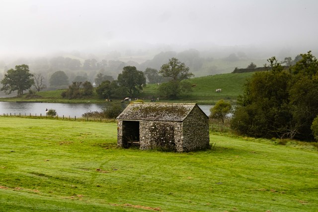
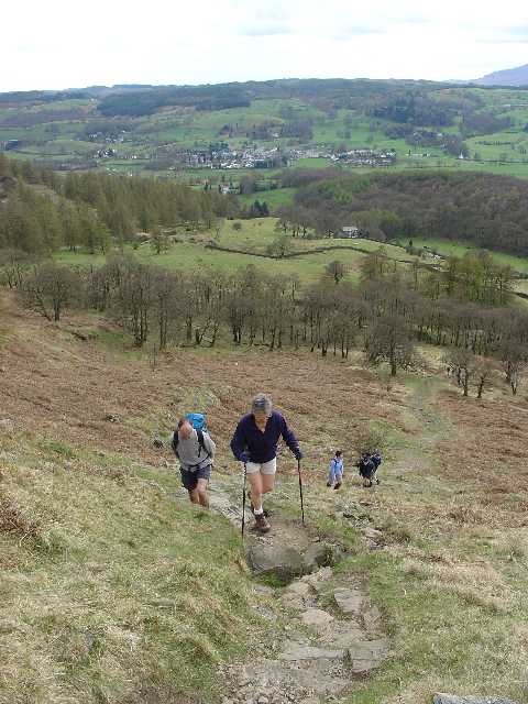
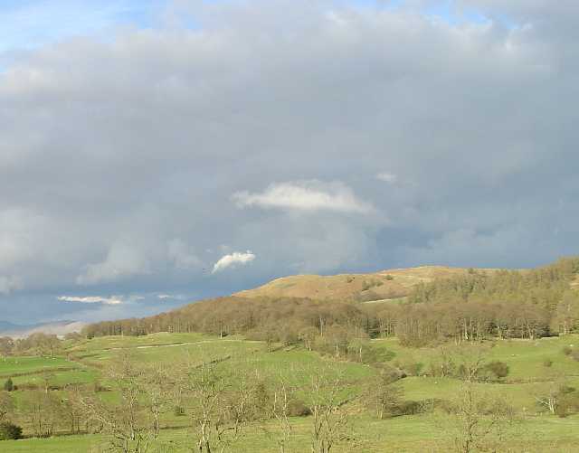
Long Height Images

Images are sourced within 2km of 54.37839/-2.9613607 or Grid Reference SD3798. Thanks to Geograph Open Source API. All images are credited.

Path on Latterbarrow This is the path from Claife Heights, leading up the south ridge towards the summit of Latterbarrow.
Path on Latterbarrow
This is the path from Claife Heights, leading up the south ridge towards the summit of Latterbarrow.
The Track up to Moss Eccles Tarn A lot of the trees in this area have blown over in, I presume, last year's gales.  Whether this timber is a result of that or has been deliberately 'harvested' from the local woodland, I don't know.
The Track up to Moss Eccles Tarn
A lot of the trees in this area have blown over in, I presume, last year's gales. Whether this timber is a result of that or has been deliberately 'harvested' from the local woodland, I don't know.
Moss Eccles Tarn from the Air Taken from the north from about 100m above ground. A small part of Esthwaite Water can be seen in the top right hand side of the photo.
Moss Eccles Tarn from the Air
Taken from the north from about 100m above ground. A small part of Esthwaite Water can be seen in the top right hand side of the photo.
Wise Een Tarn from the South Taken from about 120m above the ground, this is the view northwards from nearly above Moss Eccles Tarn
Wise Een Tarn from the South
Taken from about 120m above the ground, this is the view northwards from nearly above Moss Eccles Tarn
OS Cut Mark - High Wray, Beyond Fields Fm, Outbuilding <span class="nowrap"><a title="https://www.bench-marks.org.uk/bm56690" rel="nofollow ugc noopener" href="https://www.bench-marks.org.uk/bm56690">Link</a><img style="margin-left:2px;" alt="External link" title="External link - shift click to open in new window" src="https://s1.geograph.org.uk/img/external.png" width="10" height="10"/></span>
OS Cut Mark - High Wray, Beyond Fields Fm, Outbuilding
Path above Waterson Intake The path is the public footpath from Latterbarrow to High Wray.
Windermere is in the middle distance and there is a snow shower over the Kentmere Fells.
Path above Waterson Intake
The path is the public footpath from Latterbarrow to High Wray. Windermere is in the middle distance and there is a snow shower over the Kentmere Fells.
Esthwaite Water Barn alongside Esthwaite Water.
Esthwaite Water
Barn alongside Esthwaite Water.
Claife Heights The trig point on the top of Claife Heights (270m or 886ft above sea level). This is the top of the high ground between Windermere and Hawkshead.
Claife Heights
The trig point on the top of Claife Heights (270m or 886ft above sea level). This is the top of the high ground between Windermere and Hawkshead.
Western Slopes of Latterbarrow, Near Hawkshead, Cumbria This grid square is dominated by the small hill of Latterbarrow. The photo shows a group of walkers ascending Latterbarrow from the west.
In the background, the small town of Hawkshead can be seen.
Western Slopes of Latterbarrow, Near Hawkshead, Cumbria
This grid square is dominated by the small hill of Latterbarrow. The photo shows a group of walkers ascending Latterbarrow from the west. In the background, the small town of Hawkshead can be seen.
Latterbarrow. View from Hawkshead Latterbarrow is a local viewpoint for the village of Hawkshead. Accessible by foot after a short walk, the views from the top are excellent in almost 360 degrees. On a good day the Howgills can be seen.
Latterbarrow. View from Hawkshead
Latterbarrow is a local viewpoint for the village of Hawkshead. Accessible by foot after a short walk, the views from the top are excellent in almost 360 degrees. On a good day the Howgills can be seen.
View over Windermere from Red Nab This photograph was taken from the car-park at the end of the unclassified road that leads down to the west shore of Windermere from High Wray.
View over Windermere from Red Nab
This photograph was taken from the car-park at the end of the unclassified road that leads down to the west shore of Windermere from High Wray.
Woodland to the west of Belle Grange
Summit of Latterbarrow
Moss Eccles Tarn According to a National Trust guide at Hill Top, Beatrix Potter's home in Near Sawrey, this peaceful tarn was one of the author's favourite fishing spots.
Moss Eccles Tarn
According to a National Trust guide at Hill Top, Beatrix Potter's home in Near Sawrey, this peaceful tarn was one of the author's favourite fishing spots.
Wise Een Tarn Wise Een Tarn is on Claife Heights, and from here in clear weather you can see a wonderful panorama from Coniston to the Langdale Fells.
Wise Een Tarn
Wise Een Tarn is on Claife Heights, and from here in clear weather you can see a wonderful panorama from Coniston to the Langdale Fells.
Storm damage
Storm damage
On Lake Windermere Just passing Meregarth landings on the east bank. On M.V. Swan en route for Bowness.
On Lake Windermere
Just passing Meregarth landings on the east bank. On M.V. Swan en route for Bowness.
Friends' Meeting House, Colthouse, Claife This simple building was built in 1688 with later alterations. This photo shows the two tall sashed windows that were inserted in 1790. Inside there is a meeting room and a schoolroom.  This is one of the few Friends' meeting houses that are marked on the OS map as a 'place of worship'
Friends' Meeting House, Colthouse, Claife
This simple building was built in 1688 with later alterations. This photo shows the two tall sashed windows that were inserted in 1790. Inside there is a meeting room and a schoolroom. This is one of the few Friends' meeting houses that are marked on the OS map as a 'place of worship'
Show me another place!

Long Height is located at Grid Ref: SD3798 (Lat: 54.37839, Lng: -2.9613607)

Administrative County: Cumbria

District: South Lakeland

Police Authority: Cumbria

What 3 Words

///swims.oath.trick. Near Windermere, Cumbria

Related Wikis

Claife

Claife is a civil parish in the South Lakeland district of Cumbria, England. It is situated west of Windermere, and east of Esthwaite Water and the village...

Latterbarrow

Latterbarrow is a hill in the English Lake District, east of Hawkshead, Cumbria. It is the subject of a chapter of Wainwright's book The Outlying Fells...

Claife Heights

Claife Heights is an upland area in the Lake District, near to Windermere in Cumbria, England. It has a topographic prominence of 177 metres (581 ft) so...

Moss Eccles Tarn

Moss Eccles Tarn is a tarn on Claife Heights, near Near Sawrey in the Lake District, Cumbria. It is currently owned by the National Trust and known as...

Blelham Tarn

Blelham Tarn is a large valley tarn in the Lake District of England, to the north of the hill Latterbarrow. The settlements of Outgate, Low Wray and High...

Beatrix Potter Gallery

The Beatrix Potter Gallery is a gallery run by the National Trust in a 17th-century stone-built house in Hawkshead, Cumbria, England. It is dedicated to...

RMS Wray Castle

RMS Wray Castle was a training college for Merchant Navy radio officers based at Wray Castle in the Lake District, from 1958 to 1998.At 11:40 p.m., on...

Hawkshead Grammar School Museum

The museum operates in the old Hawkshead Grammar School building from 1 April through to 31 October. It gives an introductory talk about the school, highlighting...

Nearby Amenities

Located within 500m of 54.37839,-2.9613607
Bicycle: yes
Foot: yes
Ford: yes
Horse: yes
Lat/Long: 54.3800434/-2.9546991
Rough Hows
Place: locality
Lat/Long: 54.3779838/-2.9674311
Birkley Moss
Place: locality
Lat/Long: 54.3749331/-2.9565805
Scab Moss
Place: locality
Lat/Long: 54.3804736/-2.9588339
Long Height
Place: locality
Lat/Long: 54.3790461/-2.9605182
The data included in this document is from www.openstreetmap.org. The data is made available under ODbL.

Have you been to Long Height?

Leave your review of Long Height below (or comments, questions and feedback).