Brinks Covert

Wood, Forest in Herefordshire

England

Brinks Covert

Field beside Bowmore Wood The hedge at the far end of this field follows the course of Offa's Dyke.
Field beside Bowmore Wood Credit: Philip Halling

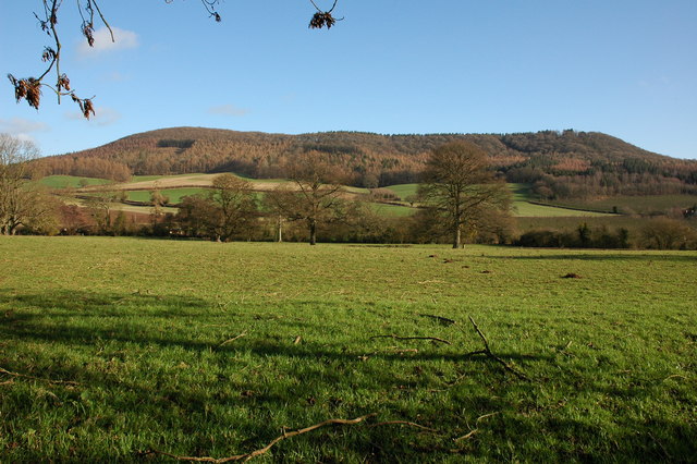
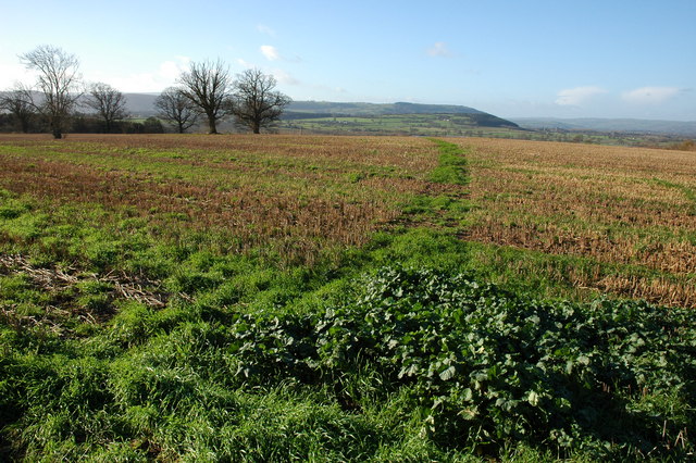
Brinks Covert is a picturesque woodland located in the county of Herefordshire, England. Nestled amidst the rolling hills and countryside, this enchanting forest covers a vast area and offers a tranquil retreat for nature enthusiasts and outdoor lovers alike.

The woodland is characterized by its dense canopy of trees, predominantly consisting of oak, beech, and ash. These majestic giants create a sense of serenity as they sway gently in the breeze, providing shade and shelter for a diverse range of flora and fauna. Bluebells, wild garlic, and ferns carpet the forest floor in the spring, creating a stunning display of color and adding to the natural charm of the area.

Brinks Covert is known for its network of well-maintained walking trails that meander through the forest. These paths offer visitors the opportunity to explore the enchanting surroundings, providing glimpses of wildlife such as deer, foxes, and a variety of bird species. The forest also boasts several secluded clearings and picnic spots, making it an ideal location for a peaceful family outing or a romantic getaway.

In addition to its natural beauty, Brinks Covert is also home to a rich history. The woodland has been utilized for various purposes over the years, including timber production and charcoal making. Remnants of old saw pits and charcoal kilns can still be found, serving as a reminder of the area's industrial past.

Overall, Brinks Covert is a truly breathtaking woodland, offering visitors a chance to immerse themselves in the tranquility of nature while exploring its rich history and diverse ecosystem.

If you have any feedback on the listing, please let us know in the comments section below.

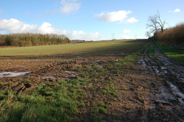
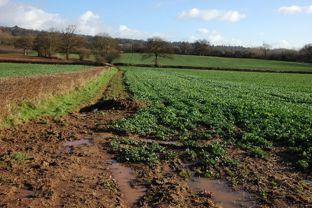
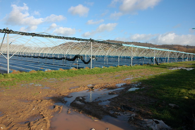
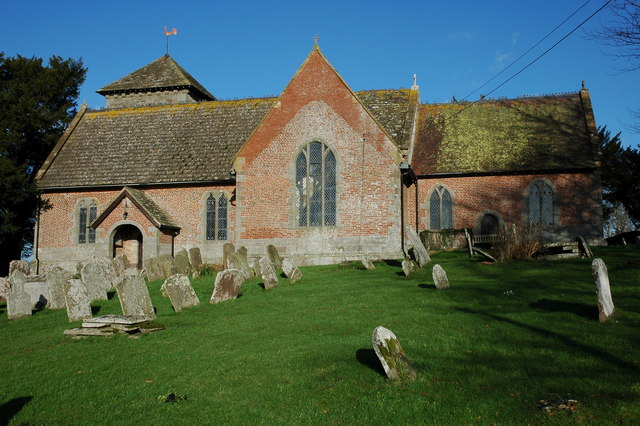
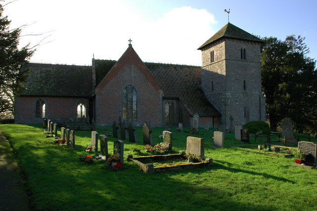
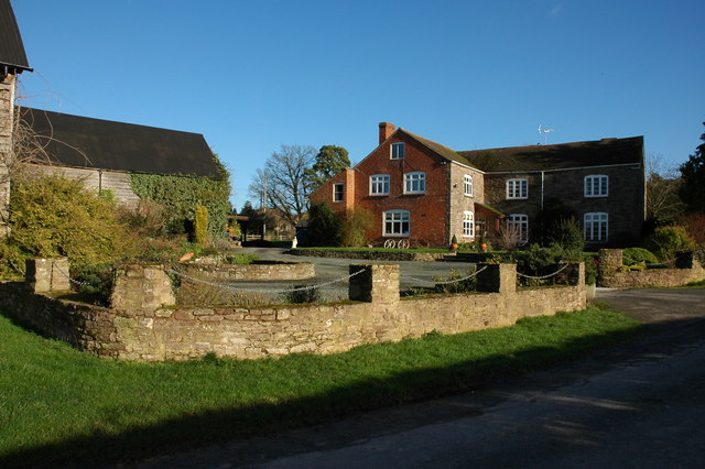
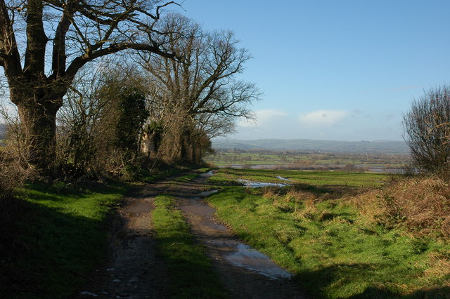
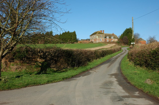
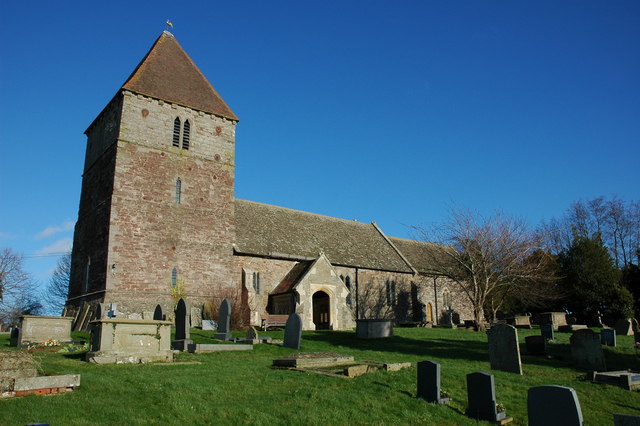
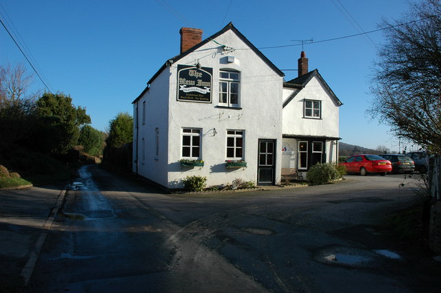
Brinks Covert Images

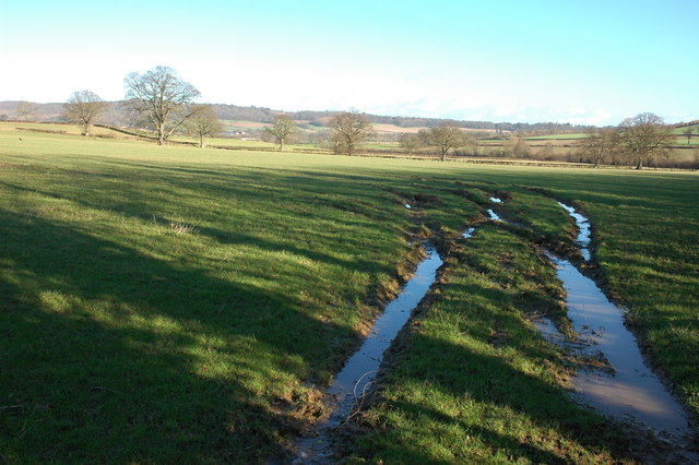
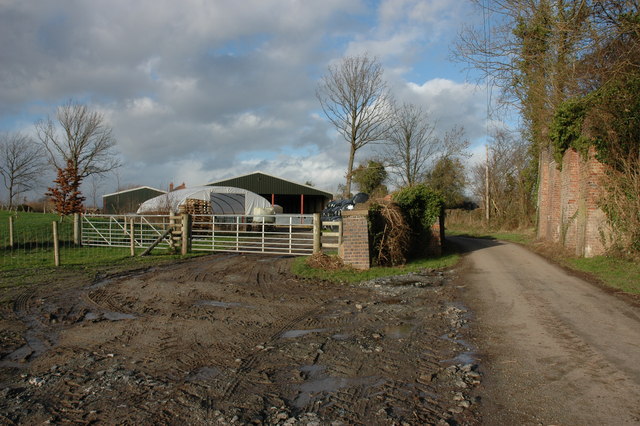
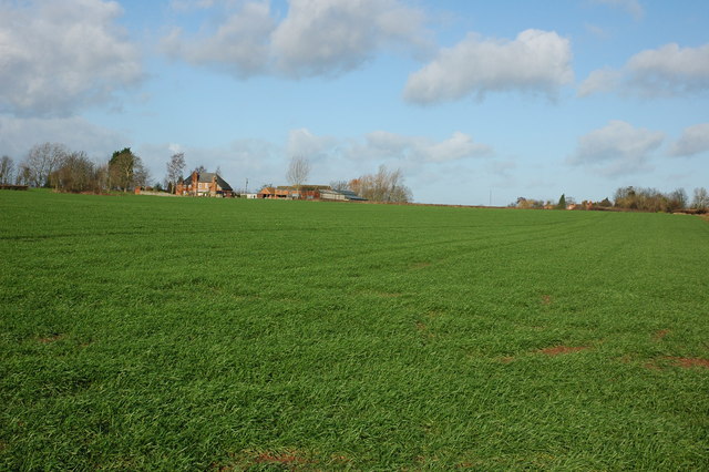
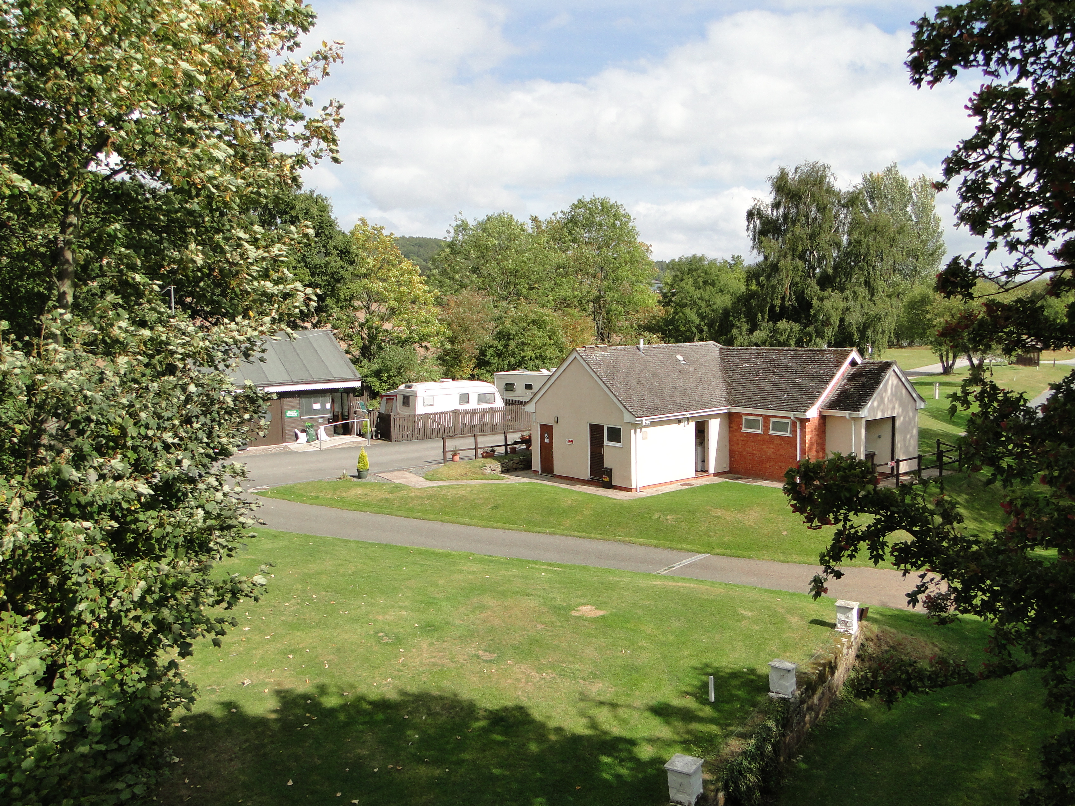
Images are sourced within 2km of 52.113703/-2.9121188 or Grid Reference SO3746. Thanks to Geograph Open Source API. All images are credited.

Field beside Bowmore Wood The hedge at the far end of this field follows the course of Offa's Dyke.
Field beside Bowmore Wood
The hedge at the far end of this field follows the course of Offa's Dyke.
Farmland to the south of Upperton Farm
Crop tunnels near Skinhouse Wood
Yazor Wood viewed from the A480 Offa's Dyke follows the hedge on the right.
Yazor Wood viewed from the A480
Offa's Dyke follows the hedge on the right.
Norton Canon church Norton Canon church is dedicated to St Nicholas. According to Pevsner the tower dates from the 13th century, and the nave, chancel and transepts were built in brick in the early 18th century, with the medieval church windows incorporated into the walls.  The church was featured on BBC Radio 4's programme, 'Open Country' on 21 April 2012 <span class="nowrap"><a title="http://www.bbc.co.uk/programmes/b01g63tv" rel="nofollow ugc noopener" href="http://www.bbc.co.uk/programmes/b01g63tv">Link</a><img style="margin-left:2px;" alt="External link" title="External link - shift click to open in new window" src="https://s1.geograph.org.uk/img/external.png" width="10" height="10"/></span> In particular the programme features the restoration of the church bells
Norton Canon church
Norton Canon church is dedicated to St Nicholas. According to Pevsner the tower dates from the 13th century, and the nave, chancel and transepts were built in brick in the early 18th century, with the medieval church windows incorporated into the walls. The church was featured on BBC Radio 4's programme, 'Open Country' on 21 April 2012 LinkExternal link In particular the programme features the restoration of the church bells
View to the east from Norton Canon The view to the east from Norton Canon is dominated by Burton Hill and Yazor Wood.
View to the east from Norton Canon
The view to the east from Norton Canon is dominated by Burton Hill and Yazor Wood.
The Cross, Norton Canon
Footpath from Upper Norton View to the south-west from a footpath near Upper Norton
Footpath from Upper Norton
View to the south-west from a footpath near Upper Norton
Farm track near Upper Norton In the valley beyond, the unusually named stream, Letton Lake, a tributary of the River Wye, has flooded the low lying farmland
Farm track near Upper Norton
In the valley beyond, the unusually named stream, Letton Lake, a tributary of the River Wye, has flooded the low lying farmland
Kilkington Farm, Staunton on Wye
Staunton on Wye church The church of St Mary at Staunton on Wye is on high ground with a good view over the Wye valley to the south.
Staunton on Wye church
The church of St Mary at Staunton on Wye is on high ground with a good view over the Wye valley to the south.
The New Inn, Staunton on Wye
Farmland to the south of Hinton Farm
Former Hereford to Hay railway at Pig Street On the right is the bridge parapet of the former Hereford to Hay on Wye railway which was closed in the 1960s. Little remains of the parapet on the left and the embankment on the left has been completely levelled and is now occupied by a farm.
Former Hereford to Hay railway at Pig Street
On the right is the bridge parapet of the former Hereford to Hay on Wye railway which was closed in the 1960s. Little remains of the parapet on the left and the embankment on the left has been completely levelled and is now occupied by a farm.
Calver Hill, near Norton Canon
Moorhampton Farm View from the road junction to the south-east
Moorhampton Farm
View from the road junction to the south-east
Houses at Moorhampton
Show me another place!

Brinks Covert is located at Grid Ref: SO3746 (Lat: 52.113703, Lng: -2.9121188)

Unitary Authority: County of Herefordshire

Police Authority: West Mercia

What 3 Words

///upholding.nanny.score. Near Yazor, Herefordshire

Nearby Locations

Brinks Covert

Related Wikis

Moorhampton railway station

Moorhampton railway station was a station in the hamlet of Moorhampton, to the east of Norton Canon, Herefordshire, England. The station was opened for...

Staunton on Wye

Staunton on Wye is a relatively unpopulated civil parish in West Herefordshire, which is perhaps one of the most uninhabited locations of England. The...

Norton Canon

Norton Canon is a village and civil parish in Herefordshire, England, near the A480 road and the B4230 road. The population at the 2011 Census was 242...

Mansell Gamage

Mansell Gamage is a village and civil parish in Herefordshire, England. It is on the B4230 road and is near the A438 road. == References ==

Nearby Amenities

Located within 500m of 52.113703,-2.9121188
Power: pole
Lat/Long: 52.1123893/-2.9051998
Power: pole
Lat/Long: 52.1130844/-2.9070264
Power: pole
Lat/Long: 52.1137548/-2.908904
Power: pole
Lat/Long: 52.1143824/-2.9106581
Power: pole
Lat/Long: 52.1150774/-2.9125276
Power: pole
Lat/Long: 52.1158499/-2.9145527
Power: pole
Lat/Long: 52.116428/-2.9161137
The data included in this document is from www.openstreetmap.org. The data is made available under ODbL.

Have you been to Brinks Covert?

Leave your review of Brinks Covert below (or comments, questions and feedback).